North Dale
Valley in Yorkshire Ryedale
England
North Dale
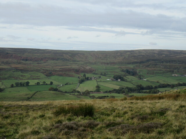
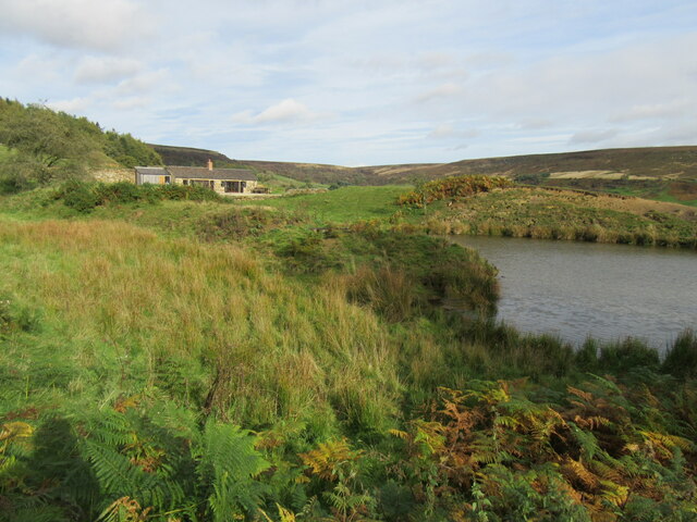
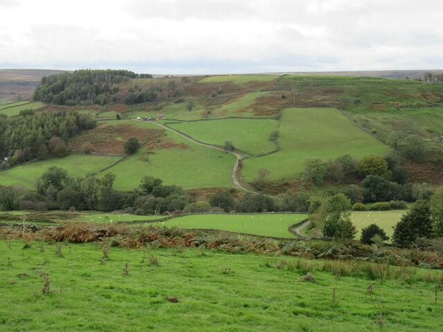
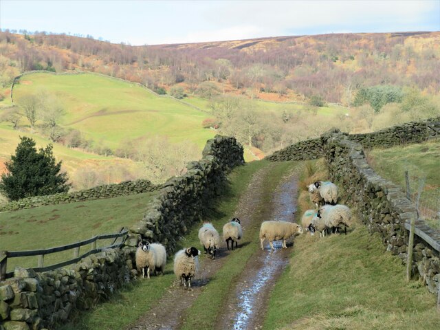
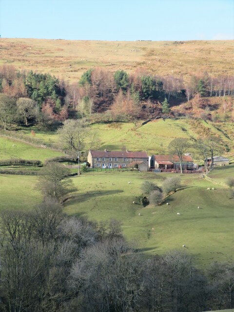
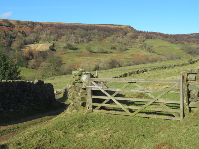
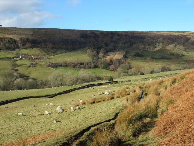
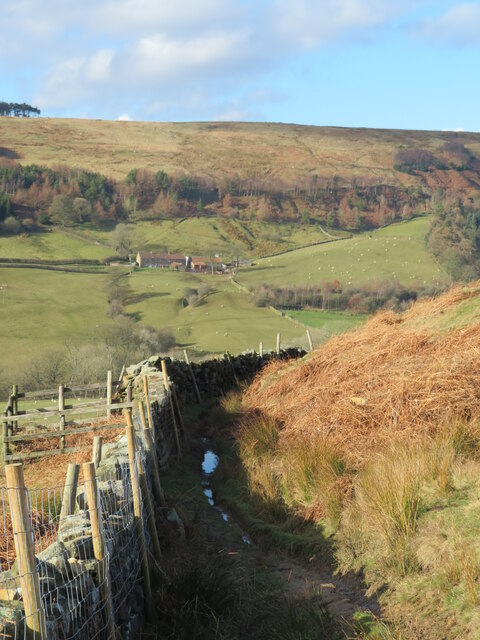
North Dale is a picturesque valley located in the county of Yorkshire, England. Nestled amidst rolling hills and lush green landscapes, this rural area offers idyllic charm and natural beauty. The valley is situated in the northern part of Yorkshire, surrounded by the North York Moors National Park.
Known for its tranquility and stunning scenery, North Dale attracts visitors seeking a peaceful escape from the bustling city life. The valley is home to a variety of flora and fauna, including wildflowers, ancient woodlands, and diverse wildlife. It is a haven for nature lovers, providing ample opportunities for hiking, birdwatching, and exploring the great outdoors.
The quaint villages dotted along the valley add to its charm, with their traditional stone houses, welcoming pubs, and friendly locals. The community in North Dale is close-knit, and visitors often remark on the warm hospitality they receive.
Historically, North Dale has been an agricultural region, with farming playing a significant role in the local economy. The fertile soil and favorable climate make it conducive to the cultivation of crops and the rearing of livestock.
For those who appreciate history and culture, North Dale offers several attractions. The valley is home to ancient ruins, including the remnants of medieval castles and monastic sites, providing a glimpse into the region's rich past.
In summary, North Dale is a picturesque valley in Yorkshire, offering a serene escape amidst stunning natural landscapes. With its charming villages, diverse wildlife, and rich history, it is a destination that appeals to both nature enthusiasts and those seeking a tranquil retreat.
If you have any feedback on the listing, please let us know in the comments section below.
North Dale Images
Images are sourced within 2km of 54.372041/-0.8880785 or Grid Reference SE7297. Thanks to Geograph Open Source API. All images are credited.


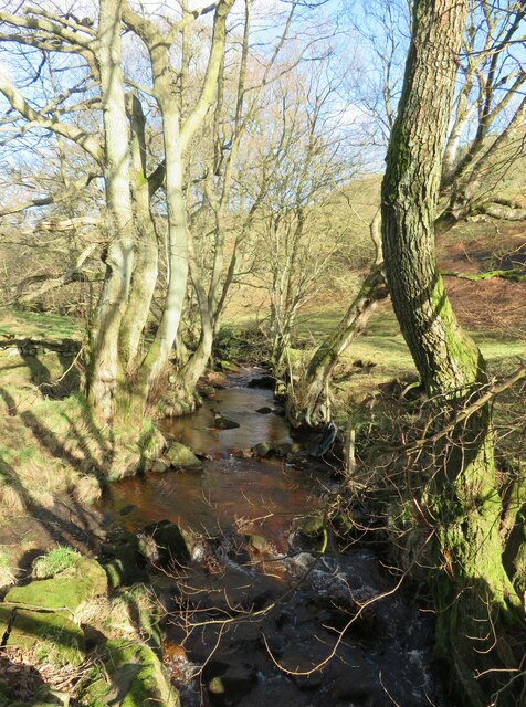
![Bridge over Northdale Beck The bridge is at a junction of paths with a bridleway [number 25.130/50] crossing the beck.](https://s0.geograph.org.uk/geophotos/07/09/19/7091972_03dfa987.jpg)

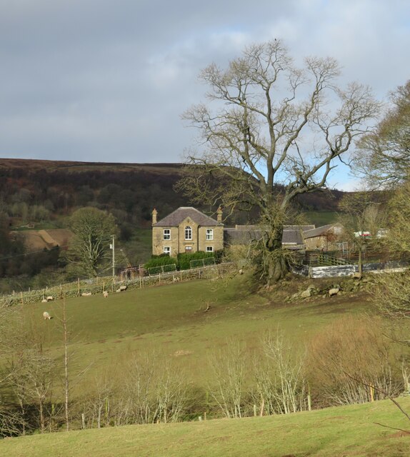
![Heading into the village The lower end of the very steep [25%] Heygate Bank road as it enters Rosedale Abbey village.](https://s1.geograph.org.uk/geophotos/07/09/19/7091977_12fa72ad.jpg)
North Dale is located at Grid Ref: SE7297 (Lat: 54.372041, Lng: -0.8880785)
Division: North Riding
Administrative County: North Yorkshire
District: Ryedale
Police Authority: North Yorkshire
What 3 Words
///starring.argue.folks. Near Danby, North Yorkshire
Nearby Locations
Related Wikis

Rosedale Priory
Rosedale Priory was a priory in Rosedale Abbey, North Yorkshire, England that was founded c. 1150–1199. By the time the priory was suppressed in 1535,...

Rosedale, North Yorkshire
Rosedale is a valley located almost in the centre of the North York Moors national park in North Yorkshire, England. The nearest town is Kirkbymoorside...

Rosedale Abbey
Rosedale Abbey is a village in the Ryedale district of North Yorkshire, England. It is approximately 8 miles (13 km) north-west of Pickering, 8 miles south...

Rosedale Chimney Bank
Rosedale Chimney Bank or just Chimney Bank is a hill pass that carries a minor road between Rosedale Abbey and Hutton-le-Hole in the Ryedale district of...
Nearby Amenities
Located within 500m of 54.372041,-0.8880785Have you been to North Dale?
Leave your review of North Dale below (or comments, questions and feedback).