Shacker Dale
Valley in Nottinghamshire Rushcliffe
England
Shacker Dale
Shacker Dale is a picturesque valley located in the county of Nottinghamshire, England. Situated near the town of Mansfield, this charming area is renowned for its natural beauty and tranquil ambiance. The valley is nestled between gently rolling hills and is characterized by lush greenery, meandering streams, and a variety of thriving wildlife.
The landscape of Shacker Dale is dominated by dense woodlands, which cover a significant portion of the valley. These ancient woodlands are home to a diverse range of flora and fauna, including oak, birch, and beech trees, as well as deer, foxes, and a plethora of bird species.
The valley also boasts several walking trails, providing visitors with the opportunity to explore the area's natural wonders. These paths wind through the woodlands, offering breathtaking views of the surrounding countryside. Along the way, hikers may encounter charming wooden bridges, babbling brooks, and wildflowers that add splashes of color to the landscape.
In addition to its natural attractions, Shacker Dale is also known for its historical significance. The valley contains remnants of an ancient Roman road, which serves as a reminder of the area's rich heritage. Archaeological excavations have uncovered artifacts that provide insight into the lives of the people who once inhabited this region.
Overall, Shacker Dale is a hidden gem in Nottinghamshire, offering visitors a peaceful retreat from the hustle and bustle of everyday life. Whether one is seeking a scenic hike or a glimpse into the past, this valley provides a truly enchanting experience.
If you have any feedback on the listing, please let us know in the comments section below.
Shacker Dale Images
Images are sourced within 2km of 52.989961/-0.92462143 or Grid Reference SK7244. Thanks to Geograph Open Source API. All images are credited.


Shacker Dale is located at Grid Ref: SK7244 (Lat: 52.989961, Lng: -0.92462143)
Administrative County: Nottinghamshire
District: Rushcliffe
Police Authority: Nottinghamshire
What 3 Words
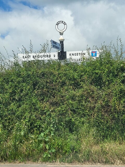
///half.showcase.eyepieces. Near East Bridgford, Nottinghamshire
Nearby Locations
Related Wikis
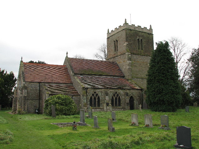
St Wilfrid's Church, Screveton
St Wilfrid's Church, Screveton is a Grade I listed parish church in the Church of England in Screveton. == History == The church dates from the 13th century...
Screveton
Screveton (pronounced locally "Screveeton" or "Screeton") is an English parish and village in the Rushcliffe borough of Nottinghamshire, with about 100...
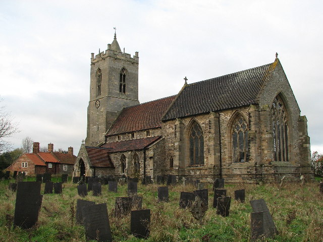
St Mary's Church, Car Colston
St Mary's Church, Car Colston is a Grade I listed parish church in the Church of England in Car Colston. == History == The church dates from the 13th century...

Kneeton
Kneeton is a village in the county of Nottinghamshire, England. The population as of the 2011 census remained less than 100. It is included in the civil...
Car Colston
Car Colston is an English village and civil parish in the Rushcliffe borough of Nottinghamshire. The population of the civil parish at the time of the...
Flintham
Flintham is a village and civil parish in the Rushcliffe district in Nottinghamshire, 7 miles (11 km) from Newark-on-Trent and opposite RAF Syerston on...

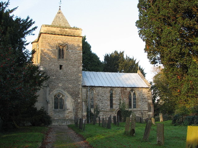
St Helen's Church, Kneeton
St Helen's Church, Kneeton is a Grade II listed parish church in the Church of England in Kneeton, Nottinghamshire, England. == History == The church was...

Church of St John of Beverley, Scarrington
The Church of St John of Beverley is a 13th-century parish church of the Church of England, in the village of Scarrington, Nottinghamshire. It has been...
Nearby Amenities
Located within 500m of 52.989961,-0.92462143Have you been to Shacker Dale?
Leave your review of Shacker Dale below (or comments, questions and feedback).