Near Gibbet Dale
Valley in Nottinghamshire Gedling
England
Near Gibbet Dale
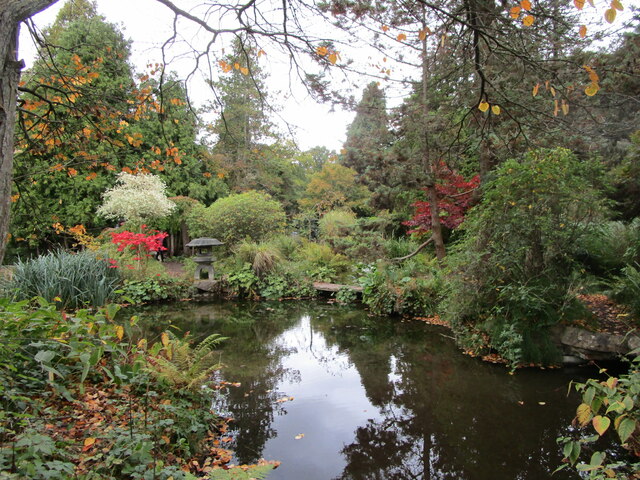
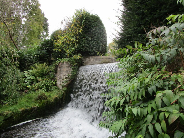
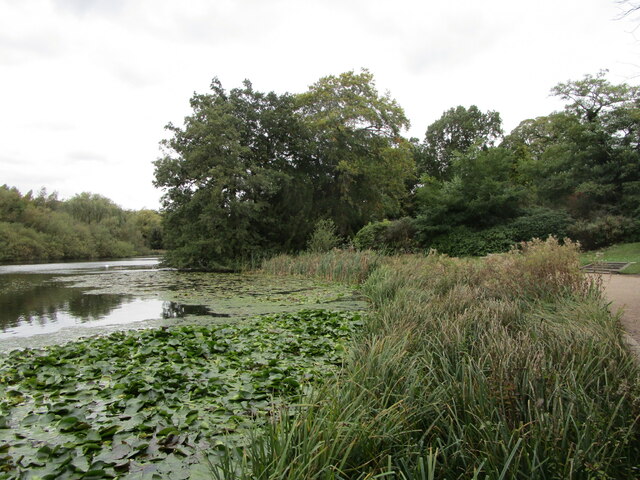
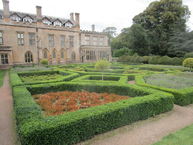
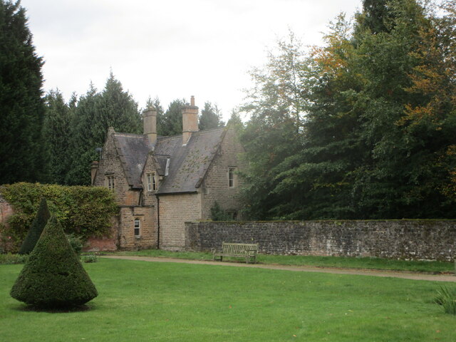
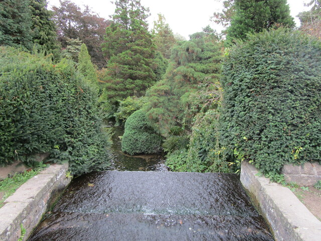
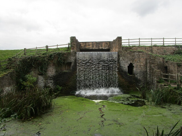
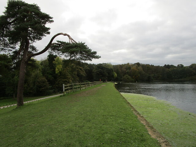
Near Gibbet Dale is a picturesque valley located in Nottinghamshire, England. Situated in the heart of the countryside, this idyllic location offers stunning views and a tranquil atmosphere. The valley is known for its rolling hills, lush greenery, and meandering streams, making it a popular destination for nature enthusiasts and hikers alike.
One of the main attractions of Near Gibbet Dale is its historical significance. The area gets its name from the nearby gibbet, which was used for public executions in the 18th century. This macabre piece of history adds a unique element to the valley, drawing in visitors who are interested in learning about the region's past.
The landscape of Near Gibbet Dale is truly breathtaking. The valley is surrounded by a variety of trees, including oak, beech, and ash, creating a vibrant and diverse ecosystem. Wildflowers dot the grassy meadows in the spring and summer months, adding pops of color to the already stunning scenery.
The valley is also home to a wide range of wildlife. Birdwatchers can spot species such as buzzards, kestrels, and owls soaring overhead, while small mammals like rabbits and hedgehogs scurry about in the undergrowth. The babbling brooks that wind through the valley attract a variety of aquatic life, including fish, frogs, and dragonflies.
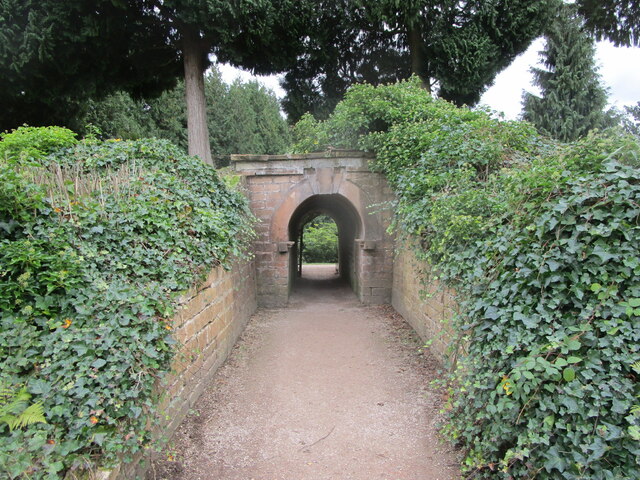
For those looking to explore the area, there are several walking trails and footpaths that lead through the valley. These paths offer breathtaking views of the surrounding landscape and allow visitors to fully immerse themselves in the natural beauty of Near Gibbet Dale.
Overall, Near Gibbet Dale is a stunning valley in Nottinghamshire that offers a peaceful retreat for nature lovers and history enthusiasts alike. With its beautiful scenery, rich wildlife, and intriguing history, it is a must-visit destination for anyone seeking a serene escape from the hustle and bustle of everyday life.
If you have any feedback on the listing, please let us know in the comments section below.
Near Gibbet Dale Images
Images are sourced within 2km of 53.077148/-1.176727 or Grid Reference SK5553. Thanks to Geograph Open Source API. All images are credited.


Near Gibbet Dale is located at Grid Ref: SK5553 (Lat: 53.077148, Lng: -1.176727)
Administrative County: Nottinghamshire
District: Gedling
Police Authority: Nottinghamshire
What 3 Words
///fighters.amounting.unleashed. Near Ravenshead, Nottinghamshire
Nearby Locations
Related Wikis
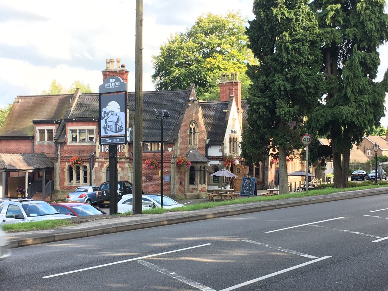
The Hutt
The Hutt is a public house located in the village of Ravenshead in Nottinghamshire, opposite Newstead Abbey. The pub was built on the site of The Royal...
Ravenshead
Ravenshead is a large village and civil parish in the Gedling district of Nottinghamshire, England. It borders Papplewick, Newstead Abbey and Blidworth...

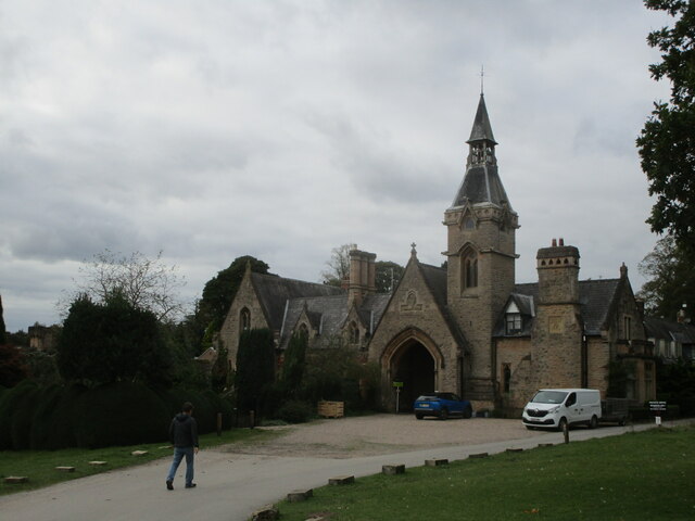
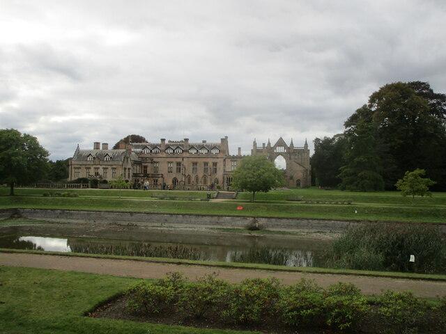
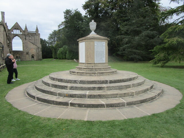
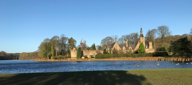
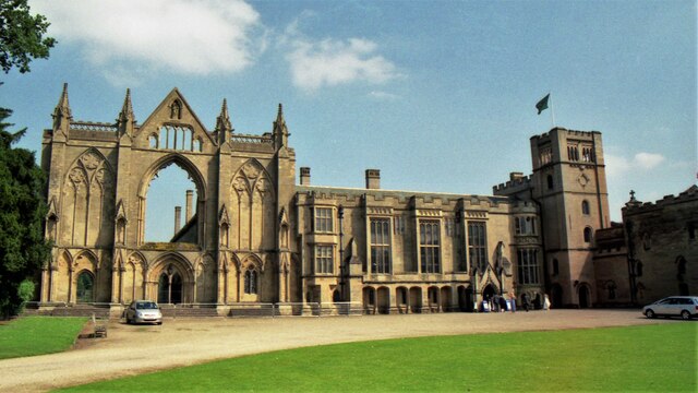
Newstead Abbey
Newstead Abbey, in Nottinghamshire, England, was formerly an Augustinian priory. Converted to a domestic home following the Dissolution of the Monasteries...

Papplewick Hall
Papplewick Hall is a Grade I listed English country house in Papplewick, Nottinghamshire. == History == It was completed around 1787 for the Hon. Frederick...
Hidden Valleys
Hidden Valleys is a name, coined in 2004, used to describe an area of interesting historical and scenic value between the city of Nottingham and the town...

Papplewick
Papplewick is a village and civil parish in Nottinghamshire, England, 7.5 miles (12 km) north of Nottingham and 6 miles (10 km) south of Mansfield. It...

Annesley South Junction Halt railway station
Annesley South Junction Halt is a former halt on the Great Central Railway on the section between Nottingham Victoria and Sheffield Victoria. The halt...

Misk Hills
The Misk Hills consist of a gently undulating sandstone plateau between Hucknall and Annesley in the county of Nottinghamshire in the North East Midlands...
Nearby Amenities
Located within 500m of 53.077148,-1.176727Have you been to Near Gibbet Dale?
Leave your review of Near Gibbet Dale below (or comments, questions and feedback).