Chalk Hill Bottom
Valley in Berkshire South Oxfordshire
England
Chalk Hill Bottom
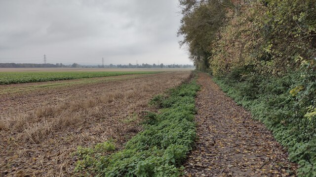
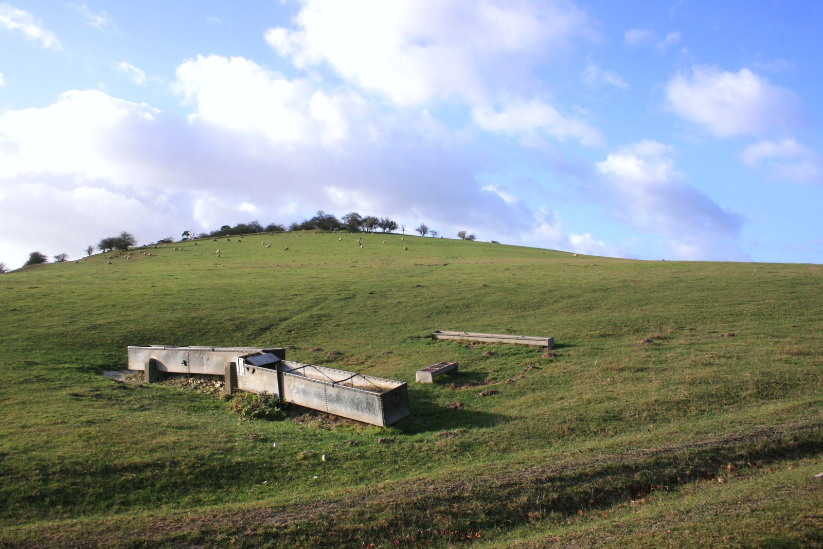
Chalk Hill Bottom is a picturesque valley located in Berkshire, England. Situated in the southern part of the county, this idyllic landscape is widely regarded for its stunning natural beauty and historical significance. The valley is nestled between rolling hills that are predominantly composed of chalk, lending the area its name.
The valley is known for its rich biodiversity and is home to a variety of plant and animal species. The lush green fields are interspersed with vibrant wildflowers, creating a colorful tapestry during the summer months. The area is also teeming with wildlife, including birds, butterflies, and small mammals.
Chalk Hill Bottom boasts a rich history that dates back thousands of years. Archaeological discoveries have revealed evidence of human habitation in the area since the Neolithic period. The valley is scattered with ancient earthworks, burial mounds, and remnants of settlements, offering a glimpse into the past.
Additionally, Chalk Hill Bottom offers excellent opportunities for outdoor activities and recreation. The valley is crisscrossed by a network of footpaths, allowing visitors to explore the stunning countryside on foot or by bike. The lush meadows and rolling hills also make it an ideal location for picnics, nature walks, and birdwatching.
Overall, Chalk Hill Bottom is a truly remarkable destination, offering a unique blend of natural beauty and historical significance. Whether you are a nature enthusiast, history buff, or simply seeking a tranquil escape from the bustling city, this enchanting valley is sure to captivate and inspire.
If you have any feedback on the listing, please let us know in the comments section below.
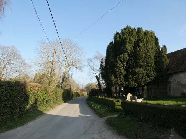
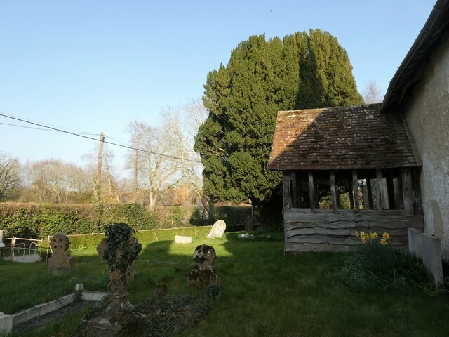
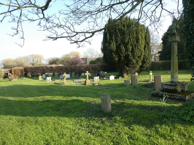
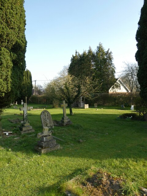
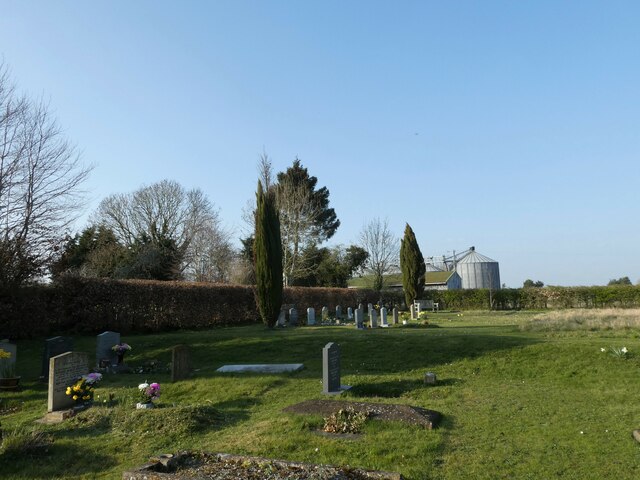
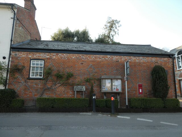
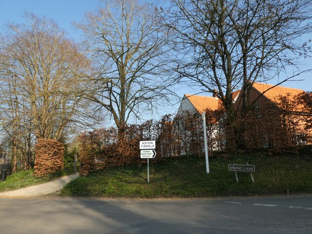
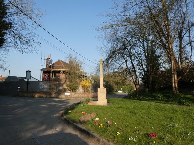
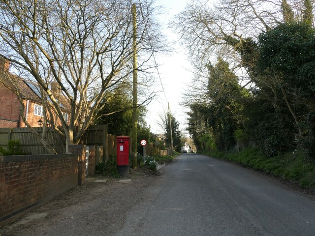
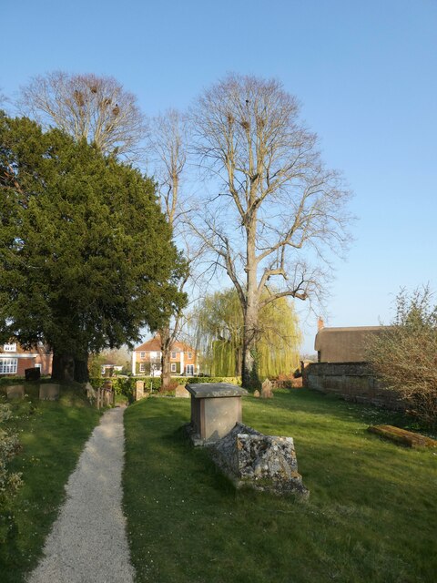
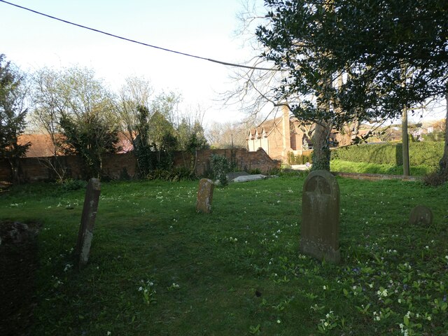
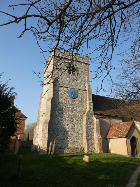
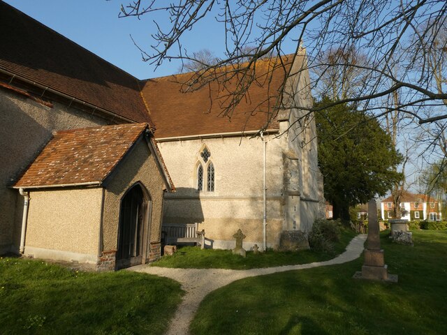
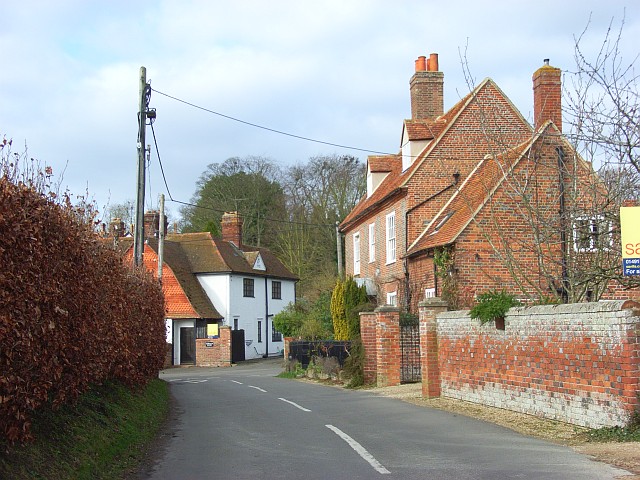
Chalk Hill Bottom Images
Images are sourced within 2km of 51.558481/-1.2038654 or Grid Reference SU5584. Thanks to Geograph Open Source API. All images are credited.
Chalk Hill Bottom is located at Grid Ref: SU5584 (Lat: 51.558481, Lng: -1.2038654)
Administrative County: Oxfordshire
District: South Oxfordshire
Police Authority: Thames Valley
What 3 Words
///cans.witty.hiker. Near Blewbury, Oxfordshire
Nearby Locations
Related Wikis

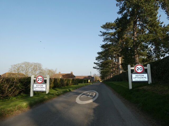
Aston Tirrold
Aston Tirrold is a village and civil parish at the foot of the Berkshire Downs about 3 miles (5 km) southeast of Didcot. It was part of Berkshire until...

Aston Upthorpe Downs
Aston Upthorpe Downs is a 38.5-hectare (95-acre) biological Site of Special Scientific Interest south of Aston Upthorpe in Oxfordshire. It is a Nature...

Blewburton Hill
Blewburton Hill is the site of an Iron Age hillfort located in Oxfordshire, in the southeast of England. It was a univallate hillfort (with a single rampart...
Aston Upthorpe
Aston Upthorpe is a village and civil parish about 3 miles (5 km) southeast of Didcot in South Oxfordshire. It was part of Berkshire until the 1974 boundary...

Blewbury
Blewbury is a village and civil parish at the foot of the Berkshire Downs section of the North Wessex Downs about 4 miles (6.4 km) south of Didcot, 14...
Moulsford Downs
Moulsford Downs is a 13.6-hectare (34-acre) biological Site of Special Scientific Interest north-west of Goring-on-Thames in Oxfordshire.This chalk grassland...

South Moreton Castle
South Moreton Castle was an 11th-century castle in the village of South Moreton, Oxfordshire, (historically in Berkshire until the 1974 reorganisation...

Battle of Ashdown
The Battle of Ashdown was a West Saxon victory over a Danish Viking army on about 8 January 871. The location of Ashdown is not known, but may be Kingstanding...
Nearby Amenities
Located within 500m of 51.558481,-1.2038654Have you been to Chalk Hill Bottom?
Leave your review of Chalk Hill Bottom below (or comments, questions and feedback).