Kighill Wood
Wood, Forest in Nottinghamshire Gedling
England
Kighill Wood
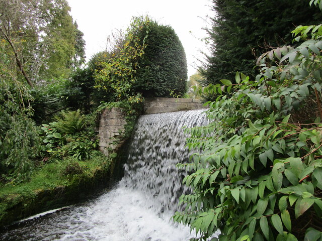
Kighill Wood is a picturesque woodland located in Nottinghamshire, England. Covering an area of approximately 50 hectares, it is nestled in the heart of the county, offering a serene and tranquil retreat for nature lovers and wildlife enthusiasts alike.
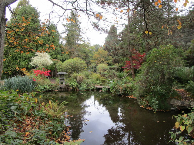
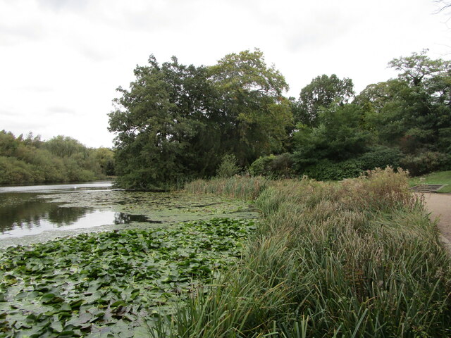
The wood is predominantly composed of native deciduous trees, such as oak, birch, and beech, which create a vibrant and ever-changing tapestry of colors throughout the seasons. The dense canopy provides a cool respite during the summer months, while the fallen leaves carpet the forest floor in autumn, adding to its natural beauty.
Walking through Kighill Wood, visitors can enjoy the peaceful ambiance and the melodious sounds of a variety of bird species that call this place home. Woodpeckers, thrushes, and nuthatches are just a few of the feathered inhabitants that can be spotted and heard throughout the year.
The wood also offers a diverse range of flora, with wildflowers and ferns dotting the undergrowth. Primroses, bluebells, and wood anemones are prevalent in the spring, creating a colorful display that attracts butterflies and other insects.
Kighill Wood is a designated Site of Special Scientific Interest (SSSI), recognized for its rich biodiversity and importance in preserving the local ecosystem. As such, visitors are encouraged to follow designated paths and respect the delicate balance of nature.
Overall, Kighill Wood is a hidden gem in Nottinghamshire, providing a haven for both flora and fauna and offering visitors a chance to reconnect with nature in a truly enchanting setting.
If you have any feedback on the listing, please let us know in the comments section below.
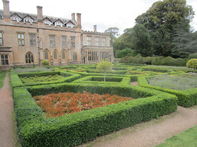
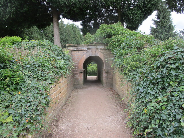
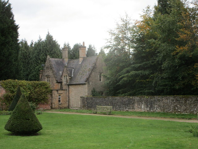
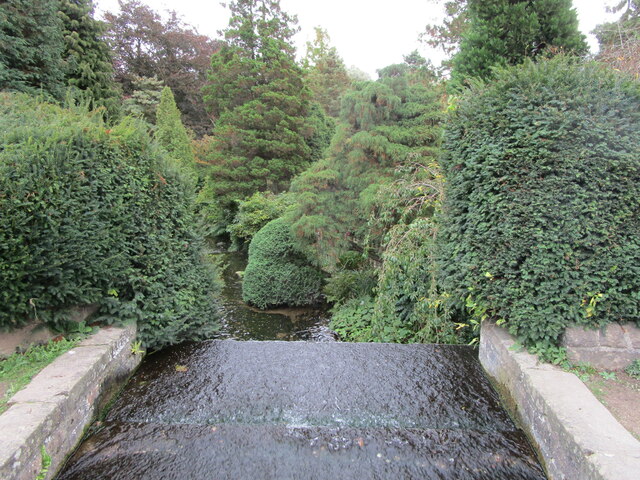
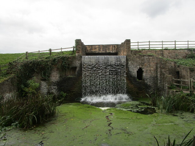
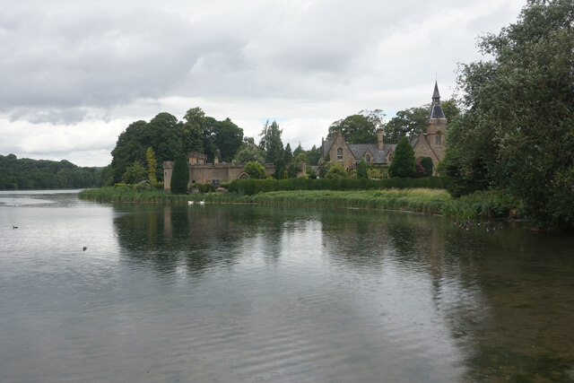
Kighill Wood Images
Images are sourced within 2km of 53.077993/-1.1664854 or Grid Reference SK5553. Thanks to Geograph Open Source API. All images are credited.


Kighill Wood is located at Grid Ref: SK5553 (Lat: 53.077993, Lng: -1.1664854)
Administrative County: Nottinghamshire
District: Gedling
Police Authority: Nottinghamshire
What 3 Words
///rates.blurts.punctuate. Near Ravenshead, Nottinghamshire
Nearby Locations
Related Wikis
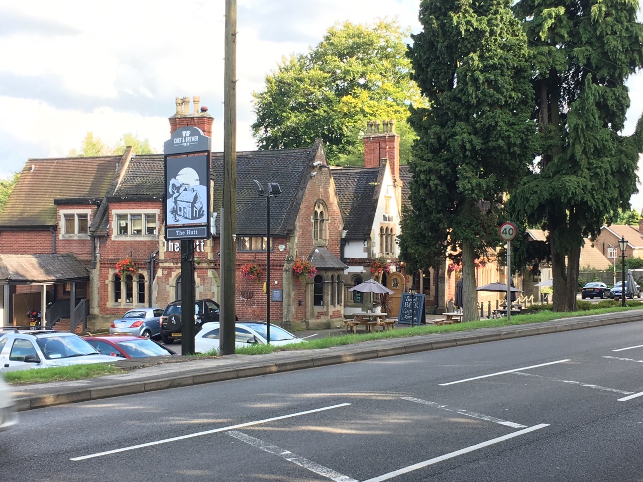
The Hutt
The Hutt is a public house located in the village of Ravenshead in Nottinghamshire, opposite Newstead Abbey. The pub was built on the site of The Royal...
Ravenshead
Ravenshead is a large village and civil parish in the Gedling district of Nottinghamshire, England. It borders Papplewick, Newstead Abbey and Blidworth...

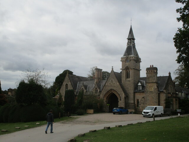
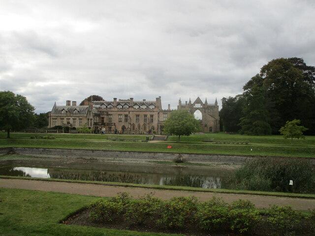
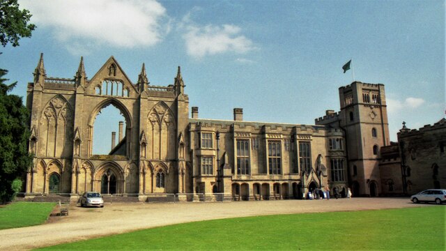
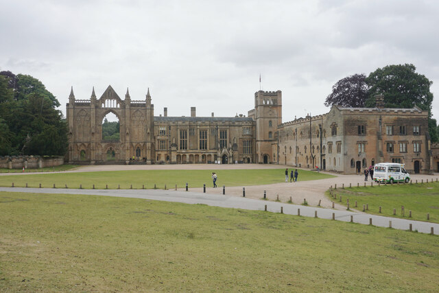
Newstead Abbey
Newstead Abbey, in Nottinghamshire, England, was formerly an Augustinian priory. Converted to a domestic home following the Dissolution of the Monasteries...

Papplewick Hall
Papplewick Hall is a Grade I listed English country house in Papplewick, Nottinghamshire. == History == It was completed around 1787 for the Hon. Frederick...

Sherwood (UK Parliament constituency)
Sherwood is a constituency represented in the House of Commons of the UK Parliament since 2010 by Mark Spencer, a Conservative. The constituency takes...

Skegby Rural District
Skegby was a rural district in Nottinghamshire, England from 1894 to 1935. It was created under the Local Government Act 1894 based on that part of the...

Papplewick
Papplewick is a village and civil parish in Nottinghamshire, England, 7.5 miles (12 km) north of Nottingham and 6 miles (10 km) south of Mansfield. It...

Papplewick Pumping Station
Papplewick Pumping Station, situated in open agricultural land approximately 3 miles (4.8 km) by road from the Nottinghamshire village of Papplewick, was...
Nearby Amenities
Located within 500m of 53.077993,-1.1664854Have you been to Kighill Wood?
Leave your review of Kighill Wood below (or comments, questions and feedback).