Broughton Plantation

Wood, Forest in Yorkshire Hambleton

England

Broughton Plantation

Hasty Bank Hasty Bank from a footpath near Urra.
Hasty Bank Credit: John Peacock

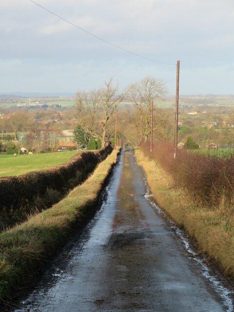
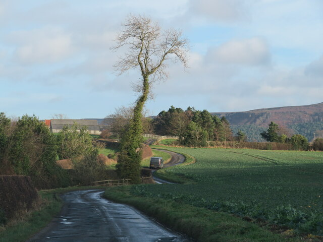
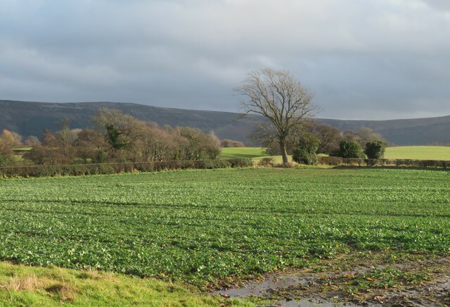
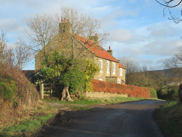
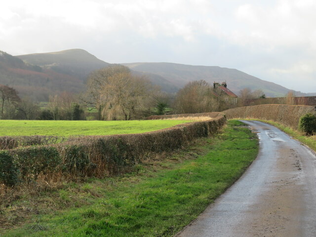
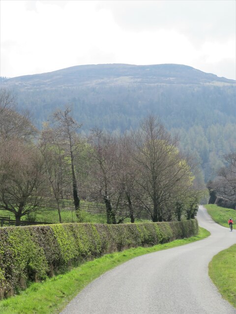
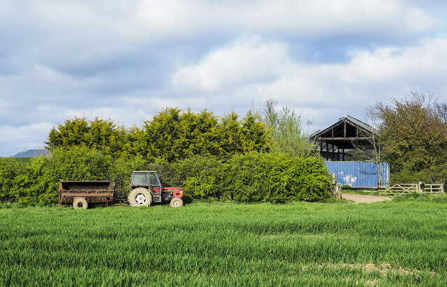
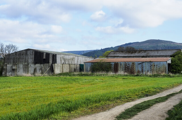
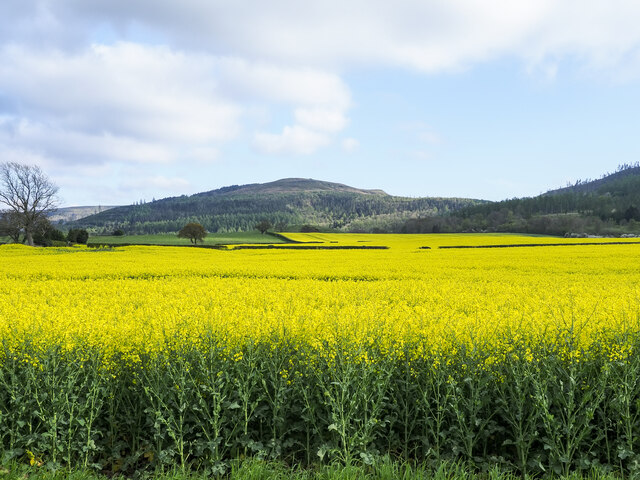
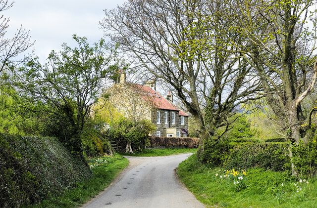
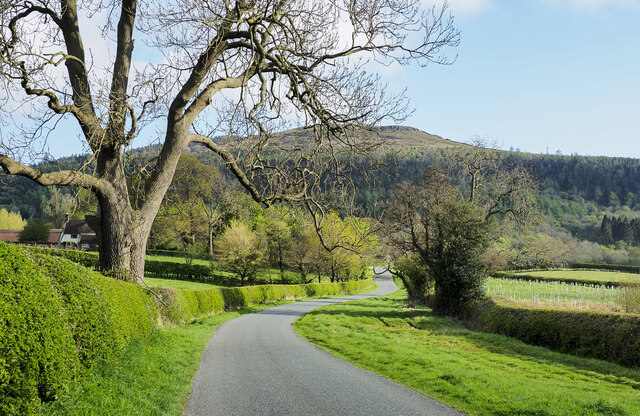
Broughton Plantation is a picturesque woodland area located in Yorkshire, England. Stretching across a vast expanse of land, it is renowned for its dense forests and natural beauty. The plantation is situated near the village of Broughton, and its tranquil surroundings make it a popular destination for nature lovers and outdoor enthusiasts.

The woodland in Broughton Plantation is home to a diverse range of flora and fauna. Towering oak and beech trees dominate the landscape, creating a dense canopy that provides shade and shelter to an array of wildlife. This includes various species of birds, such as owls, woodpeckers, and thrushes, as well as mammals like deer, foxes, and rabbits.

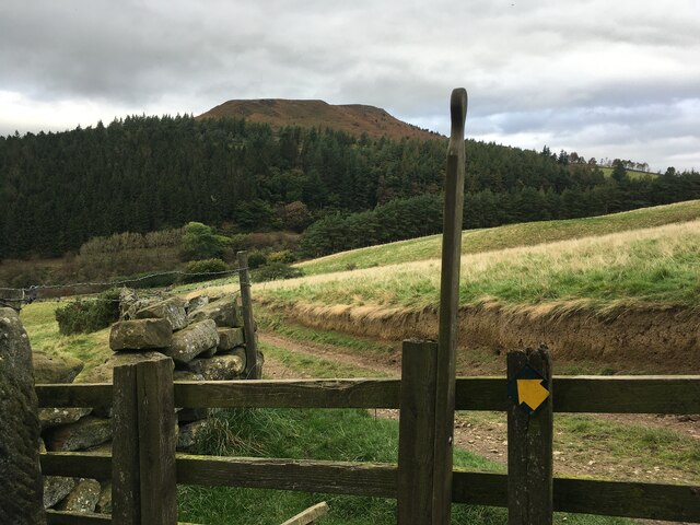
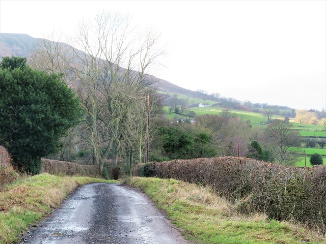
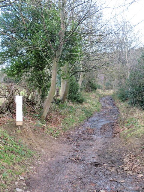
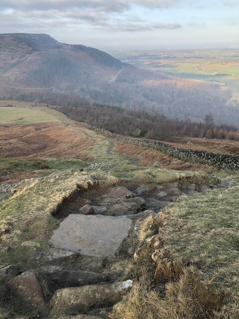
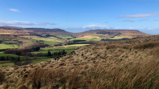
Visitors to Broughton Plantation can explore the numerous walking trails that weave through the woodland. These paths offer breathtaking views of the surrounding countryside and allow visitors to immerse themselves in the peaceful ambiance of the plantation. Along the way, there are hidden ponds and streams that add to the charm of the area.

The plantation is also a popular spot for outdoor activities such as hiking, birdwatching, and photography. Its natural beauty and tranquillity make it an ideal location for those seeking solace in nature or simply looking to escape the hustle and bustle of city life.

Overall, Broughton Plantation in Yorkshire is a captivating woodland area that offers a serene and enriching experience for visitors. Its lush forests, abundant wildlife, and captivating scenery make it a must-visit destination for nature enthusiasts and anyone seeking a peaceful retreat.

If you have any feedback on the listing, please let us know in the comments section below.

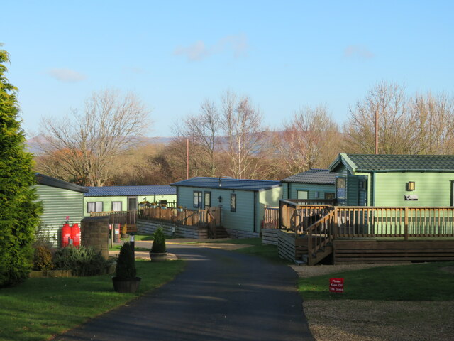
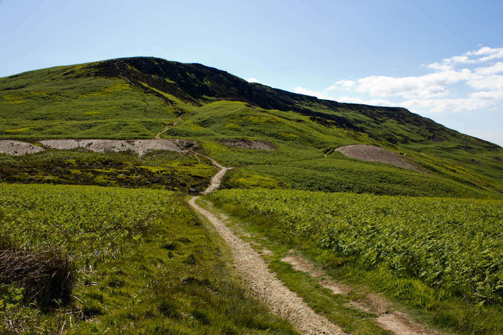
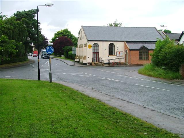
Broughton Plantation Images

Images are sourced within 2km of 54.427029/-1.1393664 or Grid Reference NZ5503. Thanks to Geograph Open Source API. All images are credited.

Hasty Bank Hasty Bank from a footpath near Urra.
Hasty Bank
Hasty Bank from a footpath near Urra.
The approach to Great Broughton A view towards the southern edge of the village along the B1257. Broughton isn't pronounced as 'Brawton' or 'Brufton', but at 'Browton'. Confusing for visitors to this corner of North Yorkshire.
The approach to Great Broughton
A view towards the southern edge of the village along the B1257. Broughton isn't pronounced as 'Brawton' or 'Brufton', but at 'Browton'. Confusing for visitors to this corner of North Yorkshire.
Farm track and bridleway off Bank Lane This track, which is also bridleway number 10.56/2, runs along the bottom of the Cleveland Hills scarp linking a number of farms and other residences.
Farm track and bridleway off Bank Lane
This track, which is also bridleway number 10.56/2, runs along the bottom of the Cleveland Hills scarp linking a number of farms and other residences.
The start of the climb The tarmacked section of Bank Lane ends here and the route continues as a bridleway, climbing 150m up a steep hill to the gap between Cold Moor and Hasty Bank. The notice to the left, which is dates July 2021, warns of a path closure higher up the hillside due to a landslip, but one can go so far and then use forest tracks to avoid the obstacle. This is bridleway number 10.56/1.
The start of the climb
The tarmacked section of Bank Lane ends here and the route continues as a bridleway, climbing 150m up a steep hill to the gap between Cold Moor and Hasty Bank. The notice to the left, which is dates July 2021, warns of a path closure higher up the hillside due to a landslip, but one can go so far and then use forest tracks to avoid the obstacle. This is bridleway number 10.56/1.
Bank Lane Looking north down this dead end lane towards Broughton. The foreground shadow is not due to cloud, but the high hills behind the camera position which block out the mid winter sun.
Bank Lane
Looking north down this dead end lane towards Broughton. The foreground shadow is not due to cloud, but the high hills behind the camera position which block out the mid winter sun.
Narrow Lane towards Water Beck Farm A poorly surfaced road heading east from B1257 towards Water Beck Farm, which is part visible in the middle distance.
Narrow Lane towards Water Beck Farm
A poorly surfaced road heading east from B1257 towards Water Beck Farm, which is part visible in the middle distance.
Farmland to the south of Beck House This area, which is just outside the National Park boundary is farmland, surrounded on three sides by high moors.
Farmland to the south of Beck House
This area, which is just outside the National Park boundary is farmland, surrounded on three sides by high moors.
Beck House A typical Cleveland farmhouse of sandstone with a pantile roof.  On this occasion further progress along the narrow lane was halted a few hundred metres further on where a large truck, of the sort that might be carrying animal feed, was at a crazy angle, having gone off the road into soft ground. No option but to make a rather long reverse.
Beck House
A typical Cleveland farmhouse of sandstone with a pantile roof. On this occasion further progress along the narrow lane was halted a few hundred metres further on where a large truck, of the sort that might be carrying animal feed, was at a crazy angle, having gone off the road into soft ground. No option but to make a rather long reverse.
Road towards Beck House Retreating by car from a road blocked by a part overturned truck which had become embedded in soft ground a little further east. The view to the west includes Beck House and the ramparts of the Cleveland Hills beyond with the 'nose' at the northern end of Cold Moor prominent.
Road towards Beck House
Retreating by car from a road blocked by a part overturned truck which had become embedded in soft ground a little further east. The view to the west includes Beck House and the ramparts of the Cleveland Hills beyond with the 'nose' at the northern end of Cold Moor prominent.
Cleveland Way Above Clay Bank
Garfit Gap and upper Bilsdale In spite of the blue sky and sunshine over upper Bilsdale, Urra Moor was decidedly gloomy and showery this afternoon.

Ahead is Garfit Gap, the col between the Wainstones and Cold Moor.

The farm below the gap to the left is Whingroves where Jack Garbutt, the Bilsdale Bombardier, grew up as a child. He was killed on the Western Front in 1918.

To the right of the gap, nestled in a combe on Hasty Bank is Garfitts, a farm which has some history.

There is no mention of Bilsdale in the Domesday Book but there are indications of pre-Norman settlement. Perhaps William the Conqueror did indeed get lost on the moors above Bilsdale and told his legati not to bother with the dale when ordering the survey of his realm.

But the thinking is that medieval Bilsdale consisted of a number of scattered hamlets, and one of these was Garthwait, the ‘clearing with an enclosure’, situated where Garfitts farm is today.

Interesting too, and probably completed unconnected, is that ‘garfits’ is an 18th-century Yorkshire ‘provincialism’ for garbage.

For links and references see my blog <span class="nowrap"><a title="http://www.fhithich.uk/?p=27439" rel="nofollow ugc noopener" href="http://www.fhithich.uk/?p=27439">Link</a><img style="margin-left:2px;" alt="External link" title="External link - shift click to open in new window" src="https://s1.geograph.org.uk/img/external.png" width="10" height="10"/></span>
Garfit Gap and upper Bilsdale
In spite of the blue sky and sunshine over upper Bilsdale, Urra Moor was decidedly gloomy and showery this afternoon. Ahead is Garfit Gap, the col between the Wainstones and Cold Moor. The farm below the gap to the left is Whingroves where Jack Garbutt, the Bilsdale Bombardier, grew up as a child. He was killed on the Western Front in 1918. To the right of the gap, nestled in a combe on Hasty Bank is Garfitts, a farm which has some history. There is no mention of Bilsdale in the Domesday Book but there are indications of pre-Norman settlement. Perhaps William the Conqueror did indeed get lost on the moors above Bilsdale and told his legati not to bother with the dale when ordering the survey of his realm. But the thinking is that medieval Bilsdale consisted of a number of scattered hamlets, and one of these was Garthwait, the ‘clearing with an enclosure’, situated where Garfitts farm is today. Interesting too, and probably completed unconnected, is that ‘garfits’ is an 18th-century Yorkshire ‘provincialism’ for garbage. For links and references see my blog LinkExternal link
Road to Clay Bank The minor road heading south from Ingleby Greenhow towards Clay Bank.
Road to Clay Bank
The minor road heading south from Ingleby Greenhow towards Clay Bank.
Crop in field with parked tractor The crop is assumed to be some form of grain. The barn is at Bonny Hill. A public footpath runs alongside the hedge; it wasn't followed as to have used it there would have entailed, earlier, marching straight across a growing crop in order to adhere to the path line. The path had not been reinstated!
Crop in field with parked tractor
The crop is assumed to be some form of grain. The barn is at Bonny Hill. A public footpath runs alongside the hedge; it wasn't followed as to have used it there would have entailed, earlier, marching straight across a growing crop in order to adhere to the path line. The path had not been reinstated!
Barns at Beck House These three barns at the farm all have an appearance of a level decrepitude but curiously, decay and ruination do provide attractive subjects for photography.
Barns at Beck House
These three barns at the farm all have an appearance of a level decrepitude but curiously, decay and ruination do provide attractive subjects for photography.
Oil seed rape in flower near to Beck House Two fields of the crop beyond which rises the hill country of the North Yorks Moors.
The B1257 via Clay Bank crosses a col at the dip towards the right horizon. Left of that rises Carr Ridge which ultimately climbs to the summit at Urra Moor, the highest point in the national park.
Oil seed rape in flower near to Beck House
Two fields of the crop beyond which rises the hill country of the North Yorks Moors. The B1257 via Clay Bank crosses a col at the dip towards the right horizon. Left of that rises Carr Ridge which ultimately climbs to the summit at Urra Moor, the highest point in the national park.
The farmhouse at Beck House Farm The attractive farmhouse at Beck House. Barns at the same farm lying to the north of the house can be seen here - <a title="https://www.geograph.org.uk/photo/7157092" href="https://www.geograph.org.uk/photo/7157092">Link</a> .
The farmhouse at Beck House Farm
The attractive farmhouse at Beck House. Barns at the same farm lying to the north of the house can be seen here - Link .
Road  climbing past West Wood Farm Greenhow Avenue passing the farm before climbing through Greenhow Plantation to meet the B1257 at the Clay Bank car park.
Road climbing past West Wood Farm
Greenhow Avenue passing the farm before climbing through Greenhow Plantation to meet the B1257 at the Clay Bank car park.
Toft Hill holiday home park Things appear to have gone rather more upmarket since Mick Garratt's pictures taken in 2007. This is no longer a caravan and camping park, but one with mobile homes.
Toft Hill holiday home park
Things appear to have gone rather more upmarket since Mick Garratt's pictures taken in 2007. This is no longer a caravan and camping park, but one with mobile homes.
Show me another place!

Broughton Plantation is located at Grid Ref: NZ5503 (Lat: 54.427029, Lng: -1.1393664)

Division: North Riding

Administrative County: North Yorkshire

District: Hambleton

Police Authority: North Yorkshire

What 3 Words

///fatherly.cold.rural. Near Ingleby Greenhow, North Yorkshire

Related Wikis

Cringle Moor

Cringle Moor (also known as Cranimoor), at 432 m (1,417 ft), is the third-highest hill in the North York Moors, England, and the highest point west of...

Great Broughton, North Yorkshire

Great Broughton is a village in the Great and Little Broughton civil parish of the Hambleton district of North Yorkshire in northern England. == History... ==

Kirkby, North Yorkshire

Kirkby (historically known as Kirkby-in-Cleveland) is a village and civil parish in Hambleton district of North Yorkshire, England, near Great Busby and...

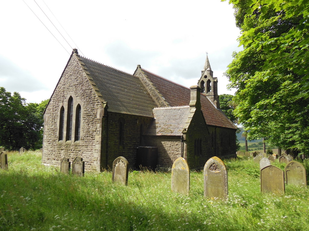
St Hilda's Church, Bilsdale Priory

St Hilda's Church is the parish church of Bilsdale Priory, a parish in the valley of Bilsdale, in North Yorkshire, in England. The first church on the...

Nearby Amenities

Located within 500m of 54.427029,-1.1393664
The Wainstones
Tourism: viewpoint
Lat/Long: 54.424424/-1.1404438
Barrier: stile
Foot: yes
Lat/Long: 54.4226351/-1.1398155
Barrier: stile
Foot: yes
Lat/Long: 54.4238168/-1.1432185
Barrier: kissing_gate
Foot: yes
Lat/Long: 54.4240222/-1.1431668
Information: route_marker
Tourism: information
Lat/Long: 54.4240489/-1.1431729
Barrier: stile
Step Count: 2
Stile: stepover
Lat/Long: 54.4253157/-1.140545
Information: route_marker
Tourism: information
Lat/Long: 54.4245701/-1.1404086
The data included in this document is from www.openstreetmap.org. The data is made available under ODbL.

Have you been to Broughton Plantation?

Leave your review of Broughton Plantation below (or comments, questions and feedback).