Great and Little Broughton
Civil Parish in Yorkshire Hambleton
England
Great and Little Broughton
Great and Little Broughton is a civil parish located in the county of Yorkshire, England. It is situated in the district of Hambleton, approximately 5 miles east of the market town of Stokesley. The civil parish consists of two neighboring villages, Great Broughton and Little Broughton, which are separated by the River Leven.
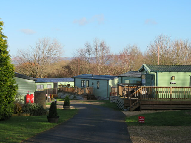
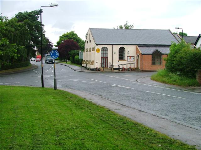
Great Broughton is the larger of the two villages and serves as the main center of the civil parish. It has a population of around 1,200 residents. The village is characterized by its picturesque setting, nestled at the foot of the Cleveland Hills. It features a mix of charming stone-built cottages and modern houses. Great Broughton boasts a range of amenities including a primary school, village hall, post office, and several local shops and pubs.
Little Broughton is a smaller village with a population of approximately 200 residents. It is situated on the opposite bank of the River Leven, connected to Great Broughton by a bridge. The village consists mainly of residential properties and offers a peaceful and rural atmosphere.
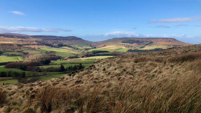
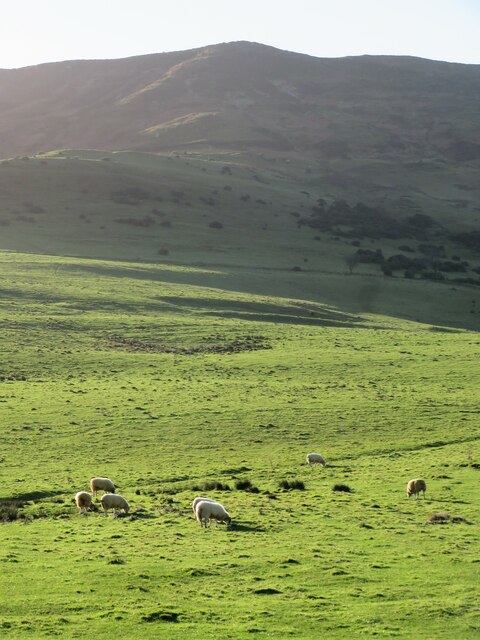
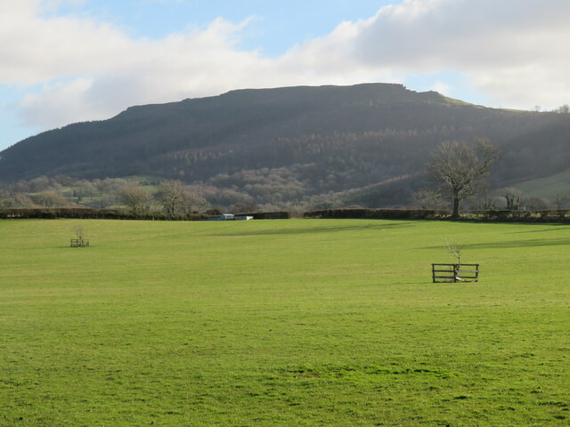
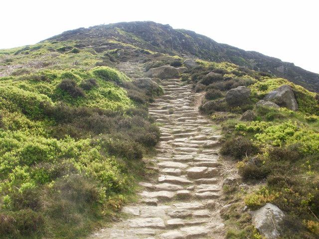
Both villages are surrounded by beautiful countryside, providing ample opportunities for outdoor activities such as hiking, cycling, and horse riding. The area is also known for its rich history, with several historic landmarks and sites of interest nearby, including the ruins of Broughton Castle and the iconic Roseberry Topping hill.
Overall, Great and Little Broughton offer a tranquil and picturesque living environment, with a close-knit community and easy access to both rural and urban amenities.
If you have any feedback on the listing, please let us know in the comments section below.
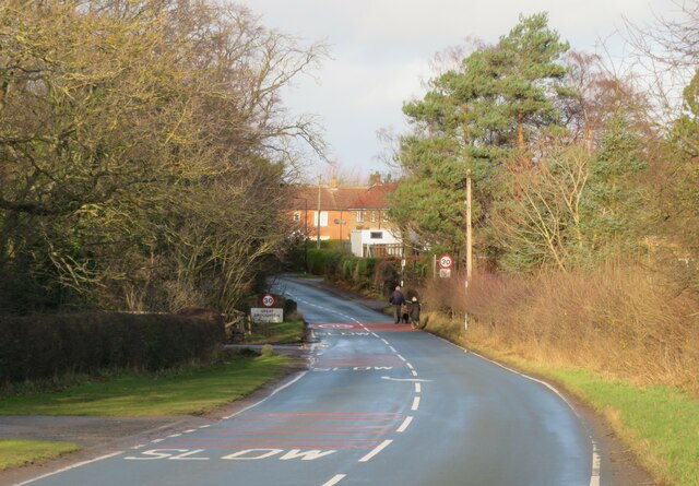
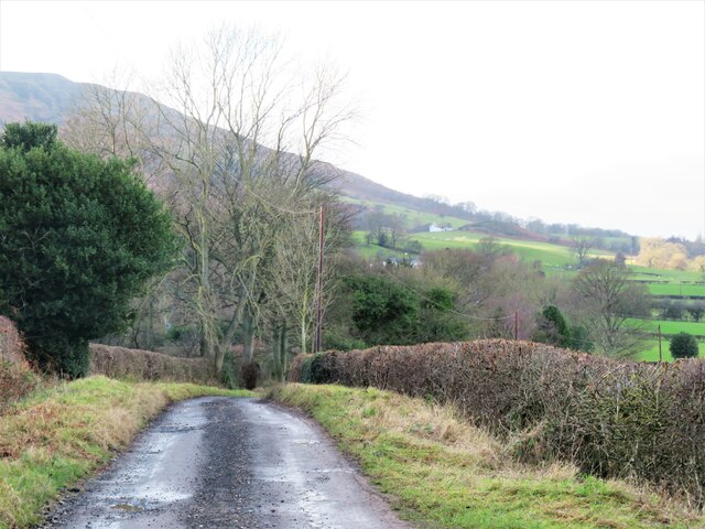
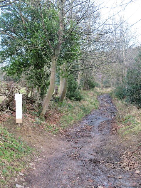
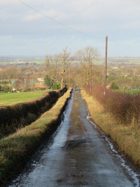
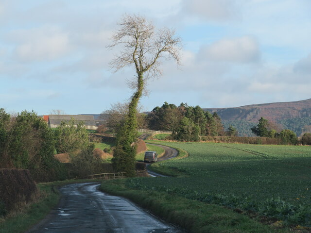
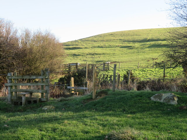
Great and Little Broughton Images
Images are sourced within 2km of 54.427449/-1.150299 or Grid Reference NZ5503. Thanks to Geograph Open Source API. All images are credited.


Great and Little Broughton is located at Grid Ref: NZ5503 (Lat: 54.427449, Lng: -1.150299)
Division: North Riding
Administrative County: North Yorkshire
District: Hambleton
Police Authority: North Yorkshire
What 3 Words
///talking.tastings.awards. Near Ingleby Greenhow, North Yorkshire
Nearby Locations
Related Wikis
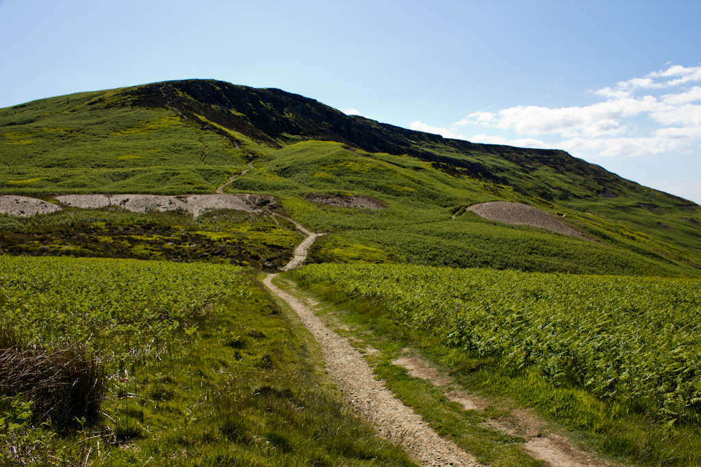
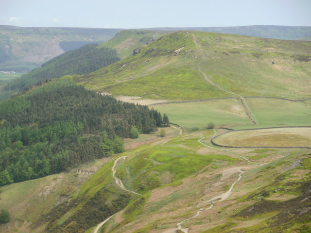
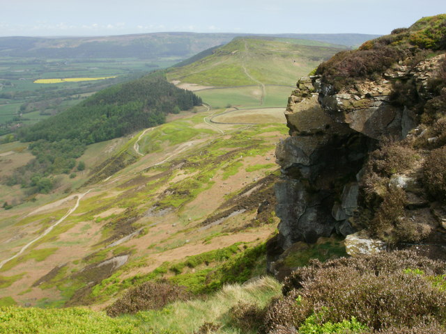
Cringle Moor
Cringle Moor (also known as Cranimoor), at 432 m (1,417 ft), is the third-highest hill in the North York Moors, England, and the highest point west of...

Kirkby, North Yorkshire
Kirkby (historically known as Kirkby-in-Cleveland) is a village and civil parish in Hambleton district of North Yorkshire, England, near Great Busby and...
Great Broughton, North Yorkshire
Great Broughton is a village in the Great and Little Broughton civil parish of the Hambleton district of North Yorkshire in northern England. == History... ==

Great Busby
Great Busby is a village and civil parish in the Hambleton District of North Yorkshire, England. The population of the parish was estimated at 70 in 2013...

Cleveland Hills
The Cleveland Hills are a range of hills on the north-west edge of the North York Moors in North Yorkshire, England, overlooking Cleveland and Teesside...

Busby Hall
Busby Hall is a Grade II* listed Country House in Little Busby, North Yorkshire, England, close to the village of Carlton-in-Cleveland. The house and parkland...

Ingleby Greenhow
Ingleby Greenhow is a village and civil parish in the Hambleton district of North Yorkshire, England. It is on the border of the North York Moors and 3...
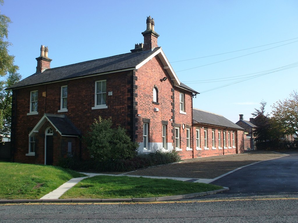
Stokesley railway station
Stokesley railway station was a railway station built to serve the town of Stokesley in North Yorkshire, England. The station was on the North Yorkshire...
Nearby Amenities
Located within 500m of 54.427449,-1.150299Have you been to Great and Little Broughton?
Leave your review of Great and Little Broughton below (or comments, questions and feedback).