Ravenshead Wood
Wood, Forest in Nottinghamshire Gedling
England
Ravenshead Wood
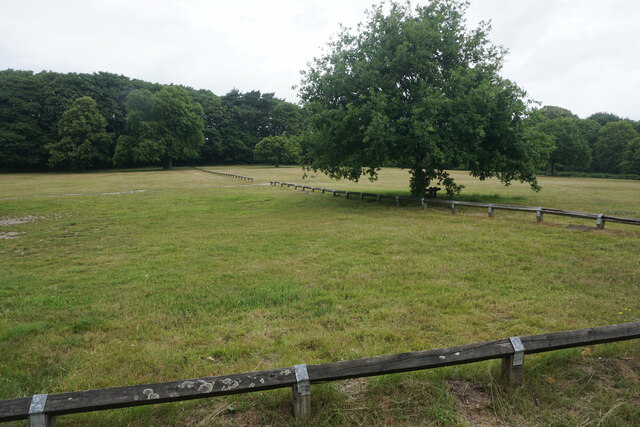
Ravenshead Wood is a picturesque forest located in the county of Nottinghamshire, England. Spread across an area of approximately 60 acres, this woodland is a popular destination for nature enthusiasts, walkers, and families seeking outdoor activities.
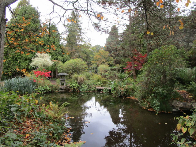
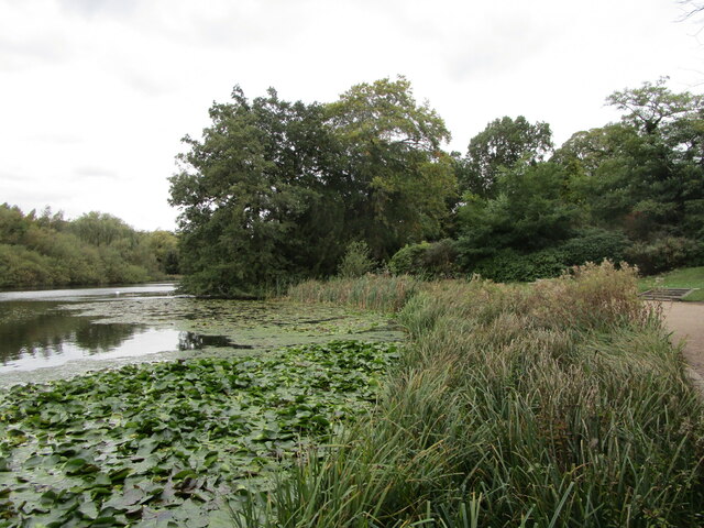
The woodland is situated in the village of Ravenshead, just a few miles north of Nottingham city. It is characterized by a diverse range of tree species, including oak, birch, and pine, which create a dense and lush canopy overhead. The forest floor is covered in a carpet of leaf litter, providing a rich habitat for various plant species and wildlife.
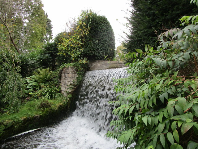
Ravenshead Wood is crisscrossed with a network of well-maintained footpaths, allowing visitors to explore its natural beauty at their own pace. The paths lead to secluded glades, tranquil ponds, and open clearings, where visitors can enjoy a picnic or simply soak in the peaceful surroundings. Additionally, the wood features a small but charming children's play area, making it a great destination for families.
The forest is also home to a variety of wildlife, including birds, squirrels, and deer. Birdwatchers can spot species such as woodpeckers, owls, and thrushes, while lucky visitors may catch a glimpse of a roe deer or a fox.
Overall, Ravenshead Wood offers a serene escape from the hustle and bustle of daily life, providing a haven for nature lovers, walkers, and families alike. Its beauty, tranquility, and rich biodiversity make it a true gem in the Nottinghamshire countryside.
If you have any feedback on the listing, please let us know in the comments section below.
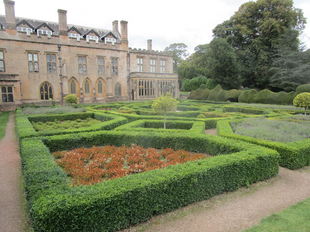
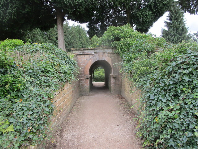
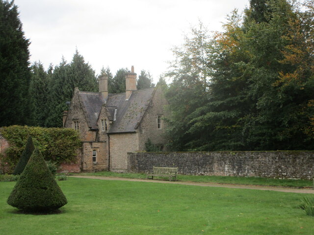
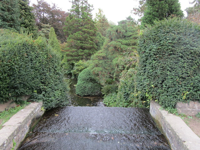
Ravenshead Wood Images
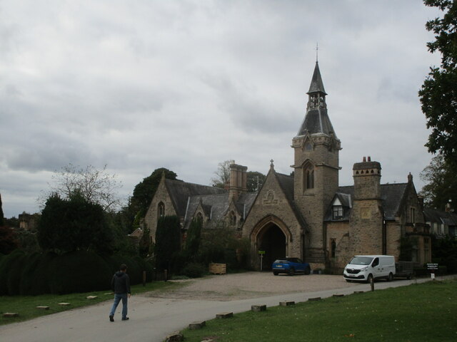
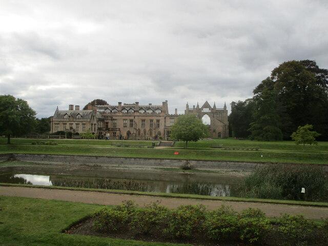
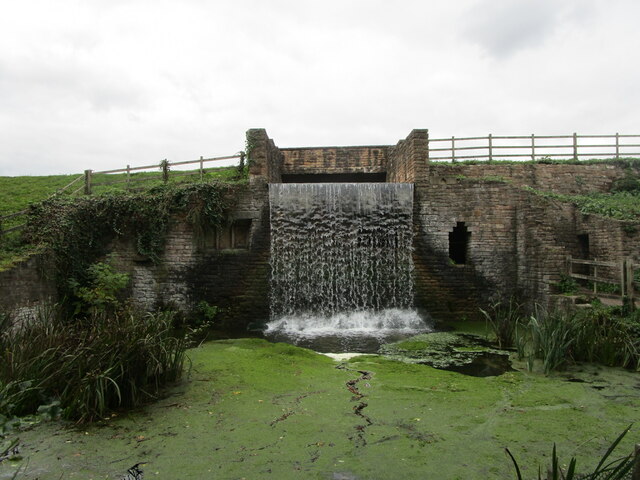
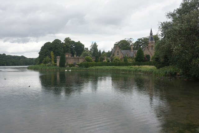
Images are sourced within 2km of 53.075449/-1.1664449 or Grid Reference SK5553. Thanks to Geograph Open Source API. All images are credited.

Ravenshead Wood is located at Grid Ref: SK5553 (Lat: 53.075449, Lng: -1.1664449)
Administrative County: Nottinghamshire
District: Gedling
Police Authority: Nottinghamshire
What 3 Words
///occur.majoring.bagpipes. Near Ravenshead, Nottinghamshire
Nearby Locations
Related Wikis
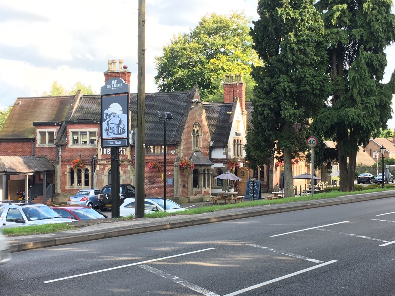
The Hutt
The Hutt is a public house located in the village of Ravenshead in Nottinghamshire, opposite Newstead Abbey. The pub was built on the site of The Royal...
Ravenshead
Ravenshead is a large village and civil parish in the Gedling district of Nottinghamshire, England. It borders Papplewick, Newstead Abbey and Blidworth...

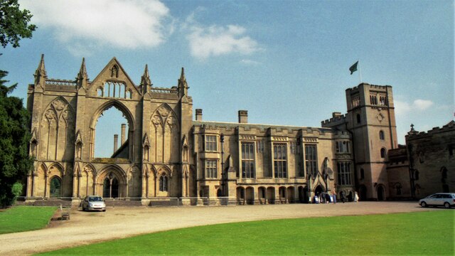
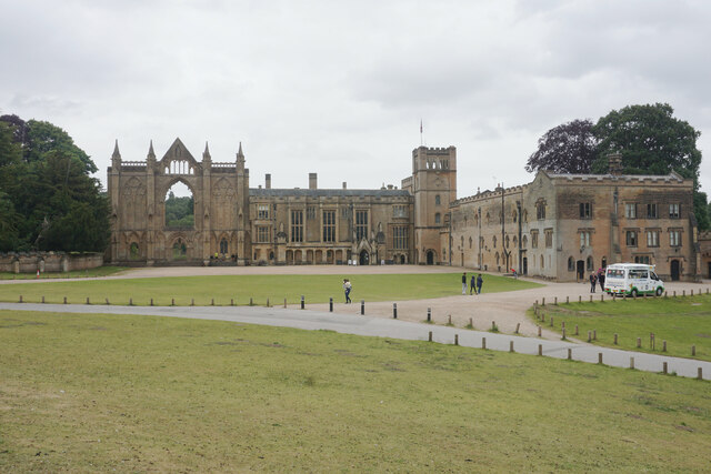
Newstead Abbey
Newstead Abbey, in Nottinghamshire, England, was formerly an Augustinian priory. Converted to a domestic home following the Dissolution of the Monasteries...

Papplewick Hall
Papplewick Hall is a Grade I listed English country house in Papplewick, Nottinghamshire. == History == It was completed around 1787 for the Hon. Frederick...
Nearby Amenities
Located within 500m of 53.075449,-1.1664449Have you been to Ravenshead Wood?
Leave your review of Ravenshead Wood below (or comments, questions and feedback).