Owlands Wood
Wood, Forest in Yorkshire Bassetlaw
England
Owlands Wood
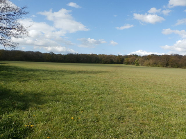
Owlands Wood is a picturesque forest located in the county of Yorkshire, England. Covering an area of approximately 100 acres, it is nestled in the heart of the Yorkshire Dales National Park, making it a popular destination for nature lovers and outdoor enthusiasts. The wood is situated near the charming village of Owlands, which adds to its appeal.
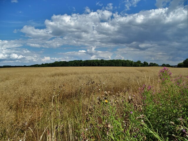
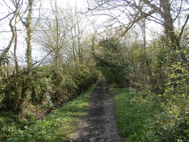
This ancient woodland boasts a diverse range of flora and fauna, providing a rich habitat for numerous species. The canopy of the wood is predominantly composed of towering oak and beech trees, which create a lush and dense environment. In spring, the forest floor comes alive with a vibrant display of wildflowers, including bluebells and primroses.
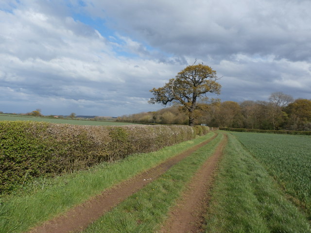
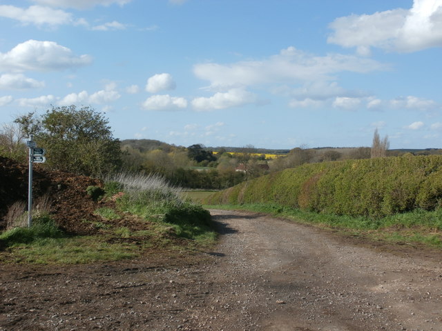
Owlands Wood is crisscrossed with a network of well-maintained trails, offering visitors the opportunity to explore its beauty. These paths wind through the forest, leading to tranquil streams and small ponds, creating a serene atmosphere. The woodland also features a variety of wildlife, such as deer, foxes, and various bird species, making it a haven for birdwatchers and wildlife enthusiasts.
As a designated Site of Special Scientific Interest (SSSI), Owlands Wood is carefully managed to preserve its natural beauty and ecological importance. The wood is open to the public year-round, with designated picnic areas and benches available for visitors to relax and soak in the peaceful ambiance.
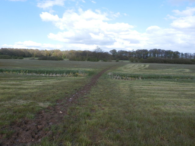
Overall, Owlands Wood is a captivating destination that offers a tranquil escape from the hustle and bustle of everyday life. With its stunning scenery, diverse wildlife, and well-maintained trails, it is a must-visit for nature enthusiasts in Yorkshire.
If you have any feedback on the listing, please let us know in the comments section below.
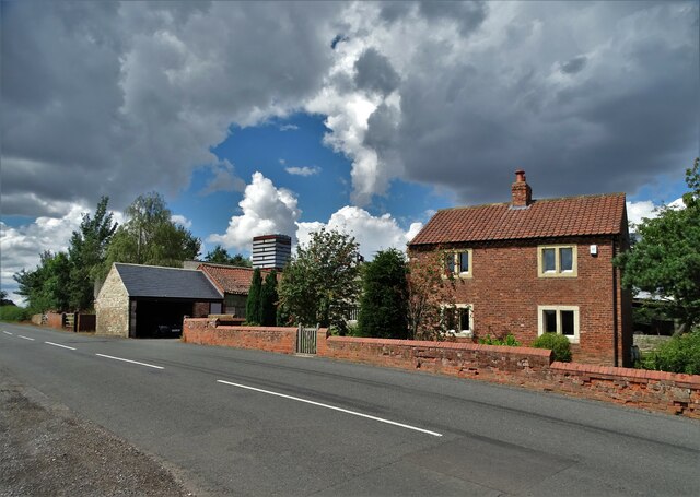
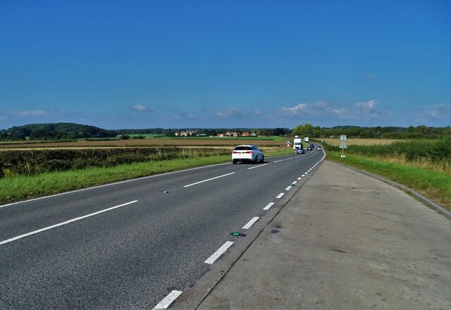
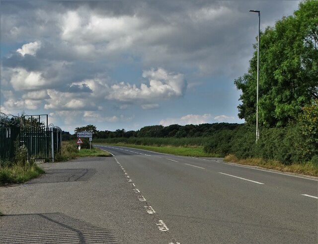
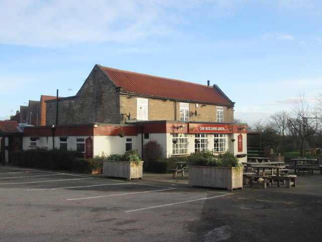
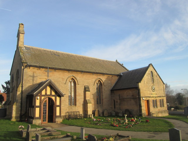
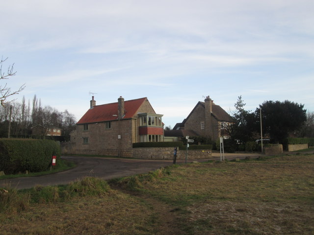
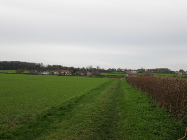
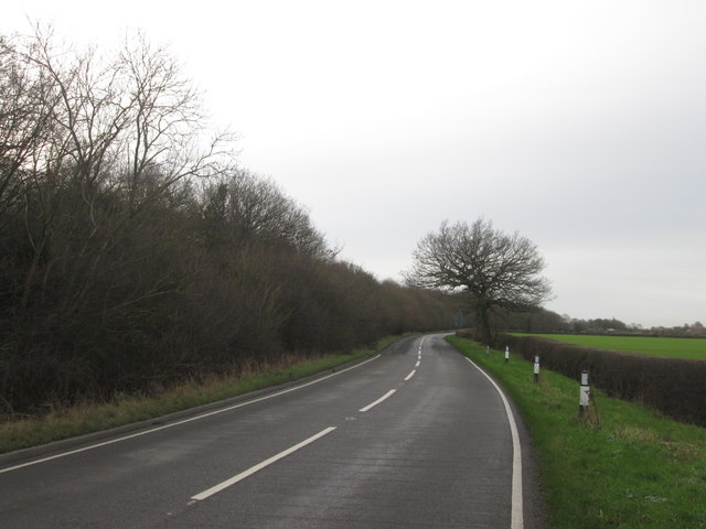
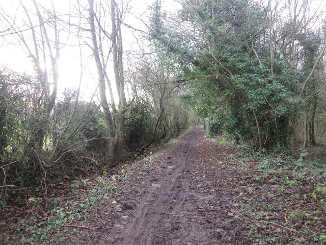
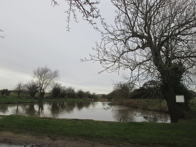
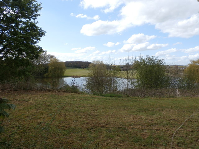
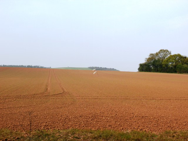
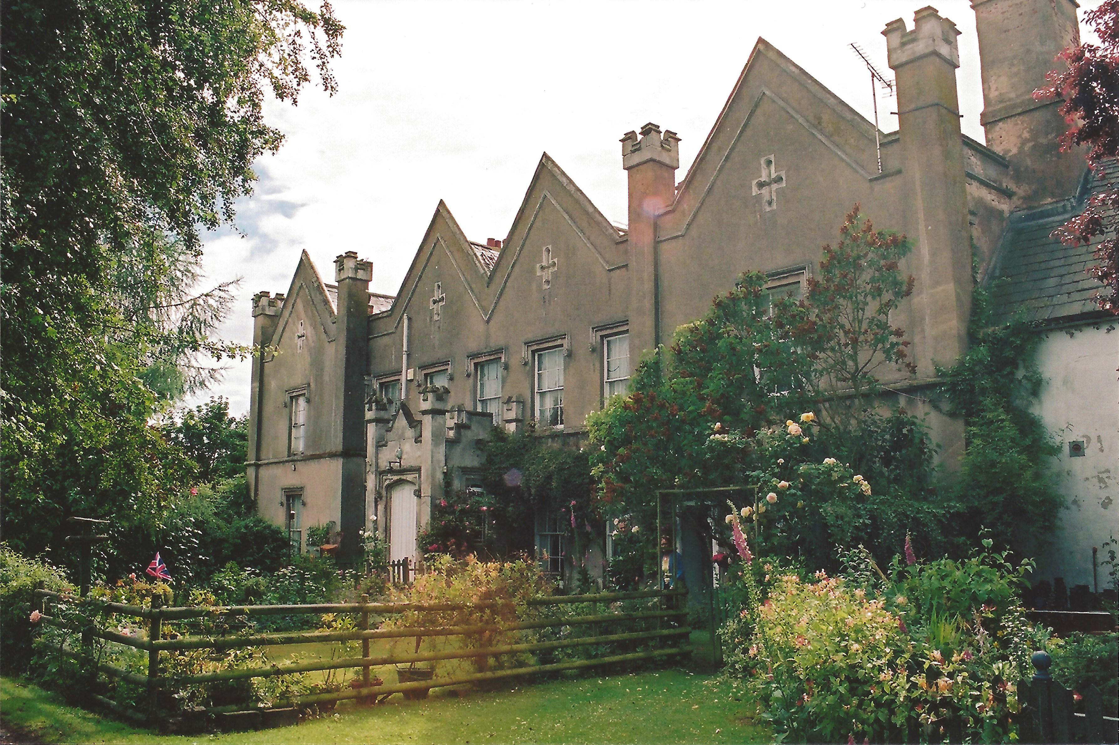
Owlands Wood Images
Images are sourced within 2km of 53.350766/-1.1610853 or Grid Reference SK5584. Thanks to Geograph Open Source API. All images are credited.
Owlands Wood is located at Grid Ref: SK5584 (Lat: 53.350766, Lng: -1.1610853)
Division: West Riding
Administrative County: Nottinghamshire
District: Bassetlaw
Police Authority: Nottinghamshire
What 3 Words
///strutted.jumbo.tempting. Near Woodsetts, South Yorkshire
Nearby Locations
Related Wikis

Woodsetts
Woodsetts is a village and civil parish in the Metropolitan Borough of Rotherham in South Yorkshire, England, on the border with Nottinghamshire. It lies...
Wallingwells
Wallingwells is a small civil parish and hamlet in the Bassetlaw district of Nottinghamshire, England, with a population at the 2001 census of 22. The...

1957 Ryder Cup
The 12th Ryder Cup Matches were held 4–5 October 1957 at Lindrick Golf Club near Worksop, England. The Great Britain team, led by captain Dai Rees, beat...
1960 Curtis Cup
The 11th Curtis Cup Match was played on 20 and 21 May 1960 at Lindrick Golf Club in Worksop, Nottinghamshire, England. The United States won by 61⁄2 matches...
Nearby Amenities
Located within 500m of 53.350766,-1.1610853Have you been to Owlands Wood?
Leave your review of Owlands Wood below (or comments, questions and feedback).