The Rough
Wood, Forest in Leicestershire Charnwood
England
The Rough

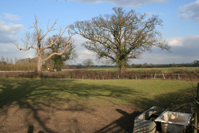
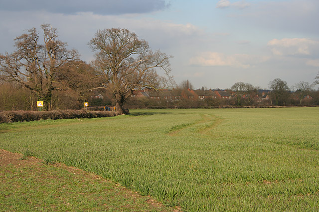
The Rough is a forested area located in Leicestershire, England. Covering a vast expanse, it is renowned for its dense woodland and natural beauty. The Rough forms part of the larger Charnwood Forest and is a popular destination for nature enthusiasts and outdoor adventurers.
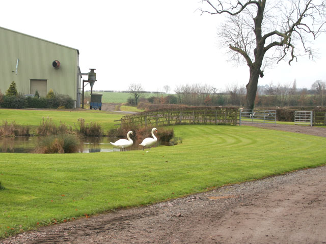
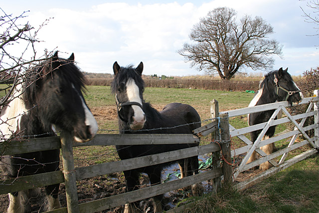
The forest is predominantly made up of deciduous trees such as oak, beech, and birch, creating a rich and diverse ecosystem. It is home to a variety of wildlife, including deer, foxes, badgers, and numerous bird species. The Rough provides a tranquil and peaceful environment, making it an ideal spot for birdwatching and wildlife photography.
The forest offers a range of recreational activities for visitors to enjoy. There are several walking trails that wind their way through the woodland, allowing visitors to explore and appreciate the natural surroundings. Cyclists can also enjoy the forest through designated biking trails that cater to different skill levels.
The Rough is a site of historical significance, with evidence of human activity dating back thousands of years. Archaeological finds have uncovered ancient burial mounds and remnants of Iron Age settlements, providing insight into the area's rich past.
The forest is managed by local authorities who strive to maintain its natural beauty and protect its biodiversity. The Rough is a cherished destination for locals and visitors alike, offering a serene escape from the hustle and bustle of everyday life.
If you have any feedback on the listing, please let us know in the comments section below.
The Rough Images
Images are sourced within 2km of 52.707114/-1.173494 or Grid Reference SK5512. Thanks to Geograph Open Source API. All images are credited.


The Rough is located at Grid Ref: SK5512 (Lat: 52.707114, Lng: -1.173494)
Administrative County: Leicestershire
District: Charnwood
Police Authority: Leicestershire
What 3 Words
///muddy.shout.giant. Near Mountsorrel, Leicestershire
Related Wikis

Swithland Hall
Swithland Hall is a 19th-century Neoclassical country house in Swithland, Leicestershire, designed by James Pennethorne . == History == The present Swithland...

Mountsorrel Cross
The Mountsorrel Cross is a market cross that dates from the Middle Ages. It originally stood on Main Street in the village of Mountsorrel, Leicestershire...

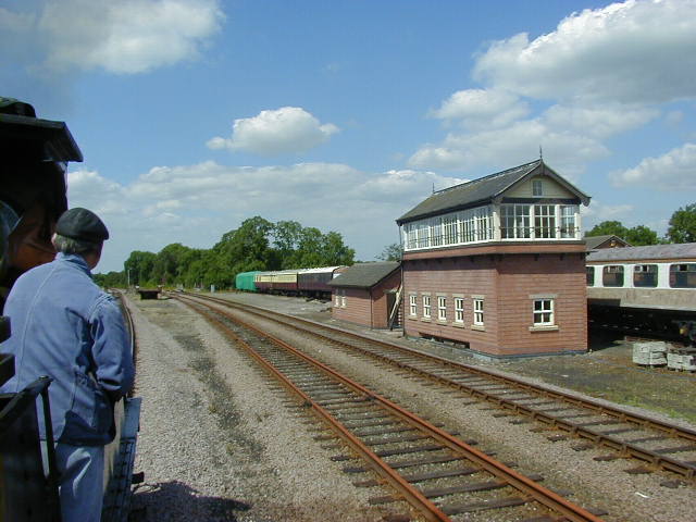
Swithland Sidings
Swithland Sidings is a set of railway sidings on the preserved Great Central Railway, situated just south of Swithland Reservoir and Swithland Viaduct...
Swithland railway station
Swithland was a railway station which was constructed on the Great Central Main Line between Rothley and Quorn and Woodhouse. The station was due to open...
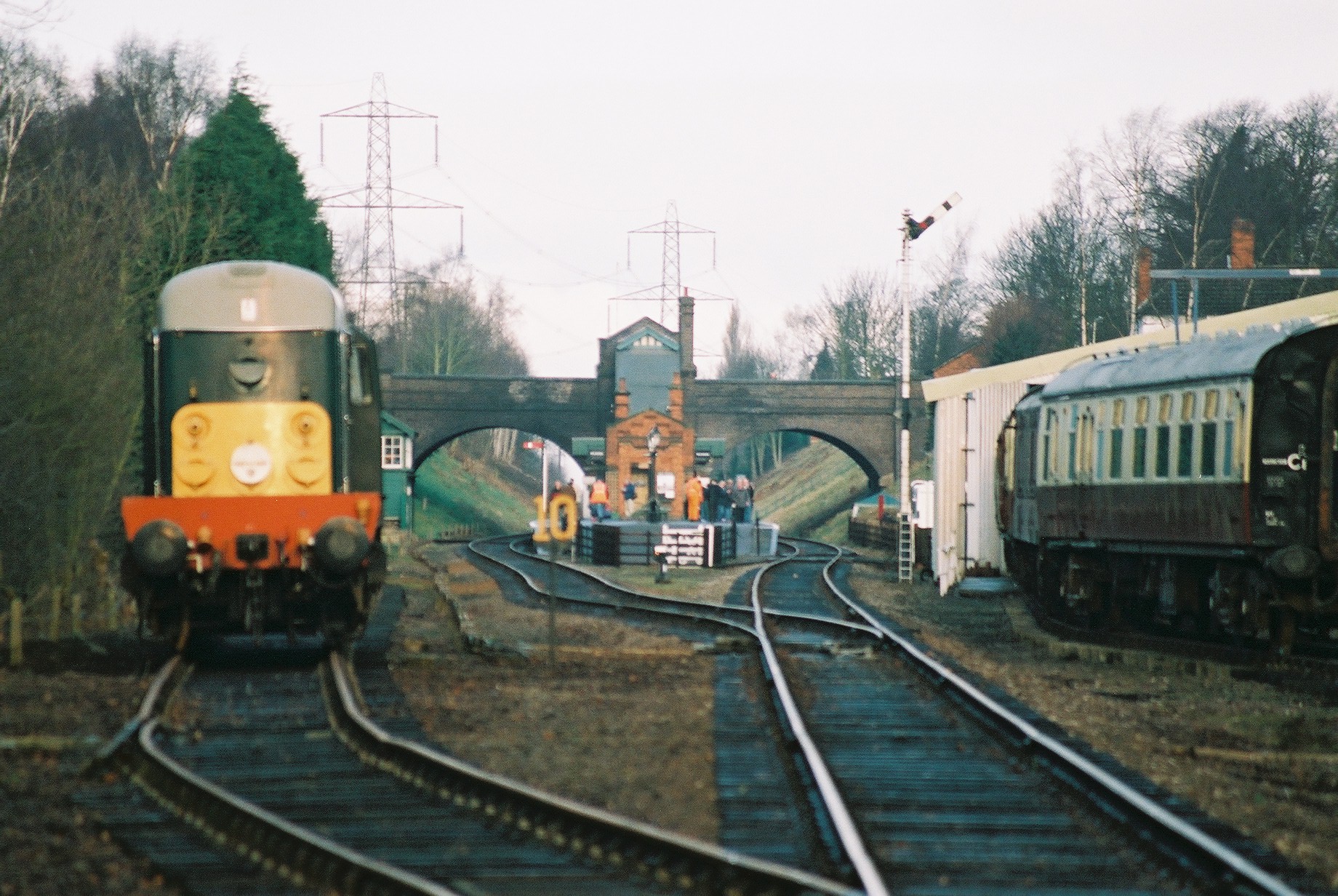
Rothley railway station
Rothley railway station is a heritage railway station on the preserved section of the Great Central Railway's London Extension. Built to the standard...
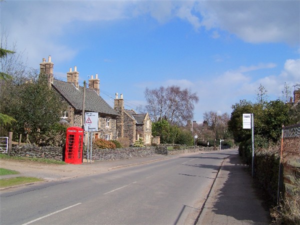
Swithland
Swithland is a linear village in the Charnwood borough of Leicestershire, England. The civil parish population was put at 230 in 2004 and 217 in the 2011...

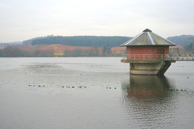
Swithland Viaduct
Swithland Viaduct is a railway viaduct in Leicestershire that carries the former Great Central Main Line over Swithland Reservoir. It is unusual in that...
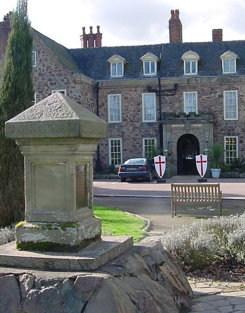
Rothley Court
Rothley Court is a country house at Rothley in Leicestershire, England. It was mentioned in the Domesday Book and later, as Rothley Temple, associated...
Related Videos


Romantic video #switzerland #romantic #beautiful #love #shortsfeed #shorts #valentinesday #travel
Romantic video/ valentine places to visit❤️❤️ #places #valentinesday #romantic #romance #switzerland #travel ...
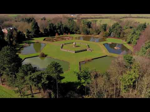
Swithland by Mavic Air
DJI Mavic Air fly around Swithland reservoir. A short video, please leave a like and a comment.
Nearby Amenities
Located within 500m of 52.707114,-1.173494Have you been to The Rough?
Leave your review of The Rough below (or comments, questions and feedback).