Candover Copse
Wood, Forest in Hampshire Basingstoke and Deane
England
Candover Copse
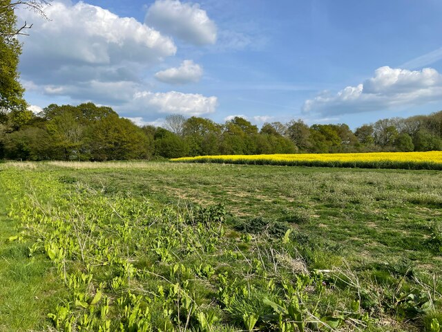
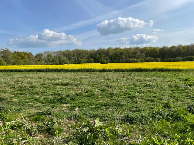
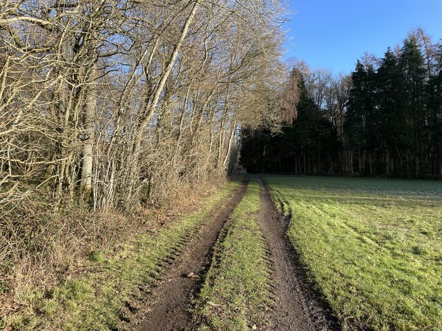
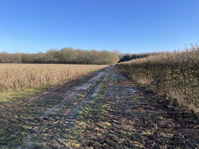
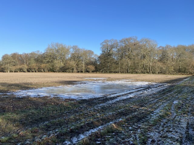
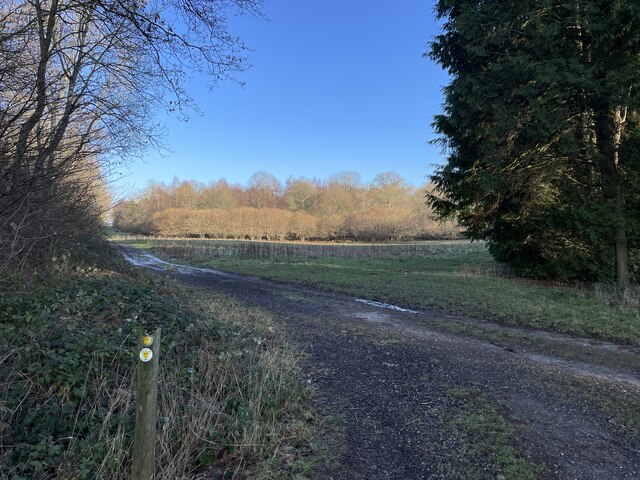
Candover Copse is a picturesque woodland located in the county of Hampshire, England. Situated in the South Downs National Park, it covers an area of approximately 100 hectares and is known for its diverse range of flora and fauna.
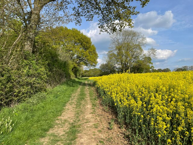
The woodland is dominated by a mix of broadleaf trees, including oak, beech, and ash, which create a dense canopy overhead. This provides a sheltered and tranquil environment for a variety of wildlife species. Visitors to Candover Copse may spot deer, badgers, foxes, and a wide range of bird species, including woodpeckers and owls.
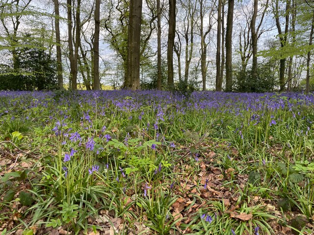
The forest floor is covered in a rich carpet of bluebells in the spring, creating a stunning display of color. Other wildflowers, such as primroses and violets, can also be found throughout the copse, adding to its natural beauty.
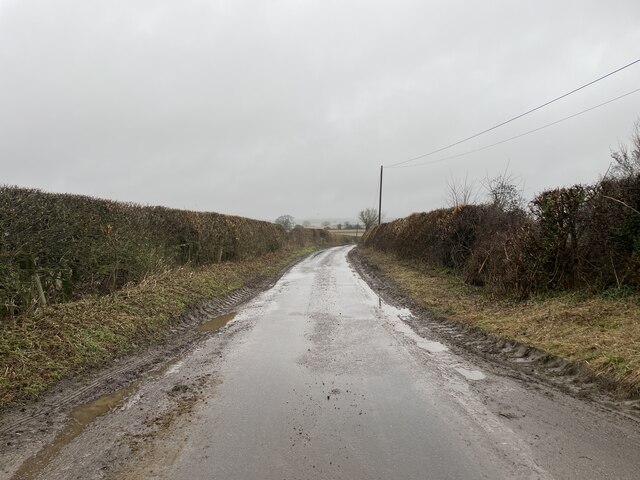
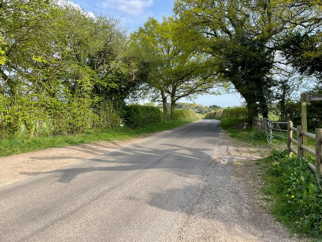
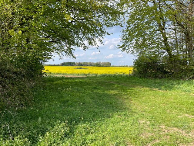
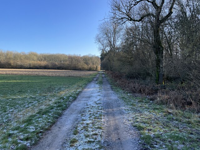
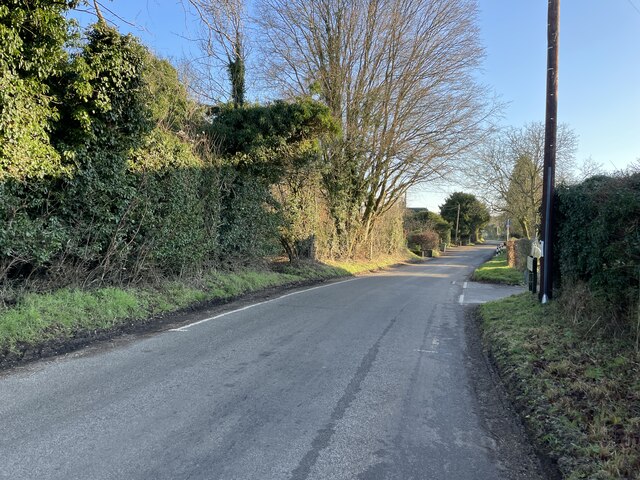
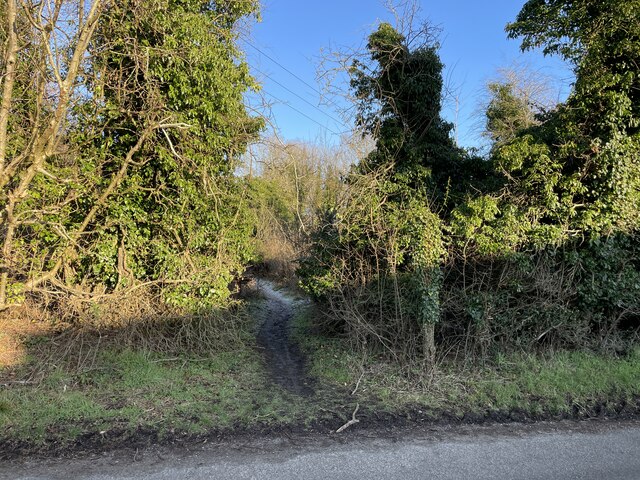
There are several walking trails that wind their way through Candover Copse, allowing visitors to explore the woodland and experience its peaceful atmosphere. These paths are well-maintained and suitable for all ages and abilities.
The copse has a long history and has been managed by the National Trust since 1970. The organization works to conserve the natural habitat and protect the woodland's unique biodiversity. Regular events and activities, such as guided nature walks and educational programs, are organized to engage visitors and promote an understanding of the importance of preserving this beautiful woodland ecosystem.
In conclusion, Candover Copse is a stunning woodland in Hampshire, offering a haven for wildlife and a peaceful retreat for visitors who wish to immerse themselves in nature.
If you have any feedback on the listing, please let us know in the comments section below.
Candover Copse Images
Images are sourced within 2km of 51.157318/-1.2013639 or Grid Reference SU5540. Thanks to Geograph Open Source API. All images are credited.
Candover Copse is located at Grid Ref: SU5540 (Lat: 51.157318, Lng: -1.2013639)
Administrative County: Hampshire
District: Basingstoke and Deane
Police Authority: Hampshire
What 3 Words
///driftwood.buckling.gobbling. Near New Alresford, Hampshire
Nearby Locations
Related Wikis

Stratton Park
Stratton Park, in East Stratton, Hampshire, was an English country house, built on the site of a grange of Hyde Abbey after the dissolution of the monasteries...

East Stratton
East Stratton is an estate village and former civil parish, now in the parish of Micheldever, in the Winchester district, in the county of Hampshire, England...

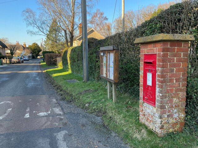
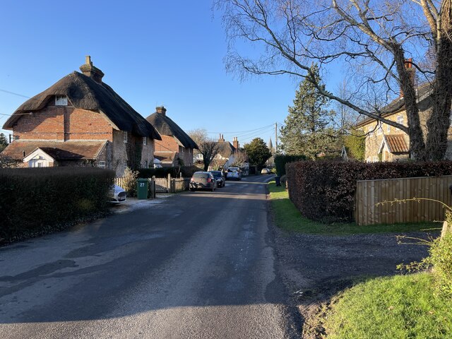
Brown Candover
Brown Candover is a village and former civil parish, now in the parish of Candovers, in the Basingstoke and Deane district, in the county of Hampshire...
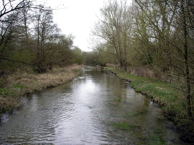
River Dever
The River Dever is a chalk stream in Hampshire in the south of England. It rises at West Stratton near Micheldever and flows westwards for 11 mi (18 km...
Woodmancott
Woodmancott is a village and former civil parish, now in the parish of Micheldever, in the Winchester district of Hampshire, England. Its nearest town...
Northington Down
Northington Down is a hamlet in the civil parish of Northington in the City of Winchester district of Hampshire, England. Its nearest town is New Alresford...
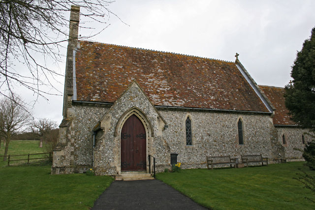
Northington
Northington is a village and civil parish in the City of Winchester district of Hampshire, England. It lies half a mile from the neighbouring village,...

West Stratton
West Stratton is a village in the civil parish of Micheldever in the City of Winchester district of Hampshire, England. The village lies close to the M3...
Have you been to Candover Copse?
Leave your review of Candover Copse below (or comments, questions and feedback).