Waterfall Gill Slack

Valley in Yorkshire Ryedale

England

Waterfall Gill Slack

Byland Moor Plantation Conifers in Byland Moor Plantation.
Byland Moor Plantation Credit: T Eyre

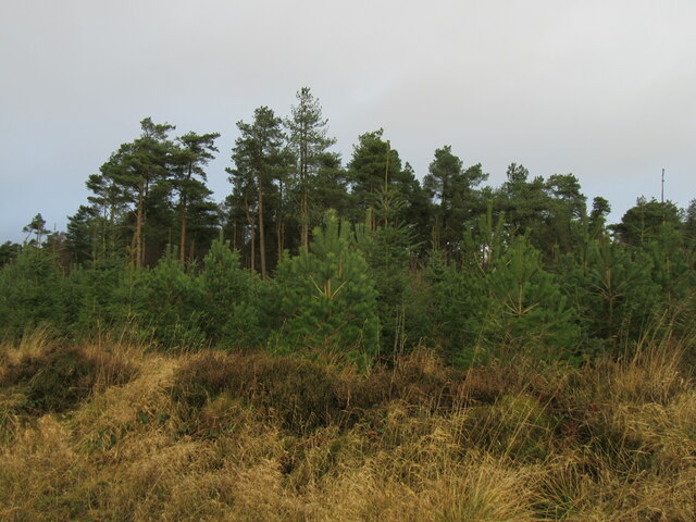
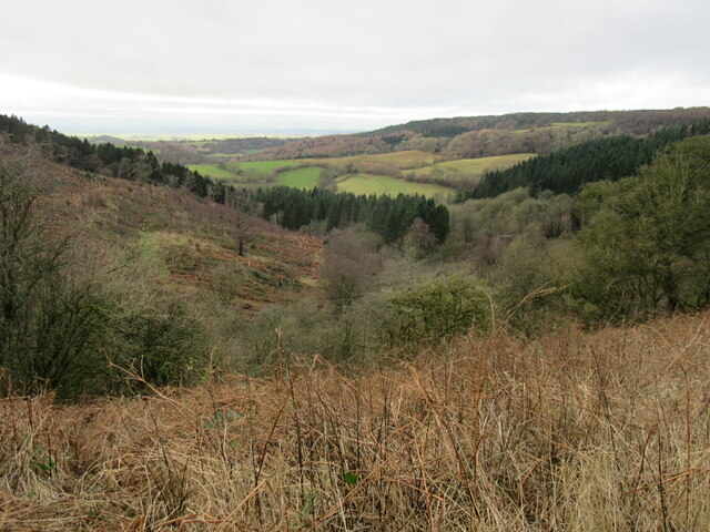
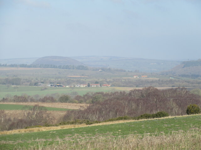
Waterfall Gill Slack is a picturesque valley located in Yorkshire, England. Nestled in the heart of the Yorkshire Dales National Park, this tranquil valley is renowned for its stunning natural beauty and breathtaking waterfalls.

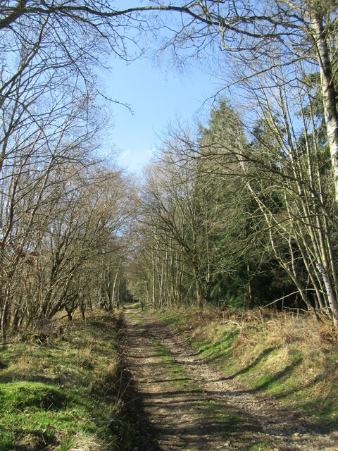
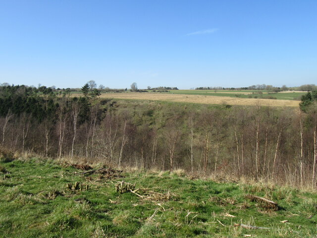
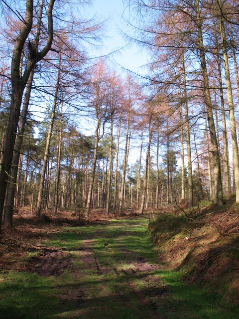
The valley is characterized by its steep sides and lush greenery, creating a dramatic backdrop for outdoor enthusiasts and nature lovers. The main attraction of Waterfall Gill Slack is the series of cascading waterfalls that flow down the valley. These waterfalls range in size and height, offering a mesmerizing sight and a soothing soundtrack of rushing water.

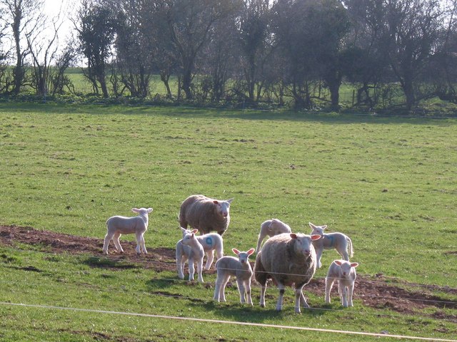
The valley is home to a diverse range of plant and animal species, making it a popular spot for wildlife enthusiasts. Visitors may spot birds such as dippers and kingfishers, as well as various species of wildflowers and ferns. The valley's rich biodiversity adds to its natural charm and makes it an ideal destination for photographers and nature enthusiasts.

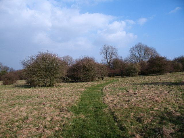
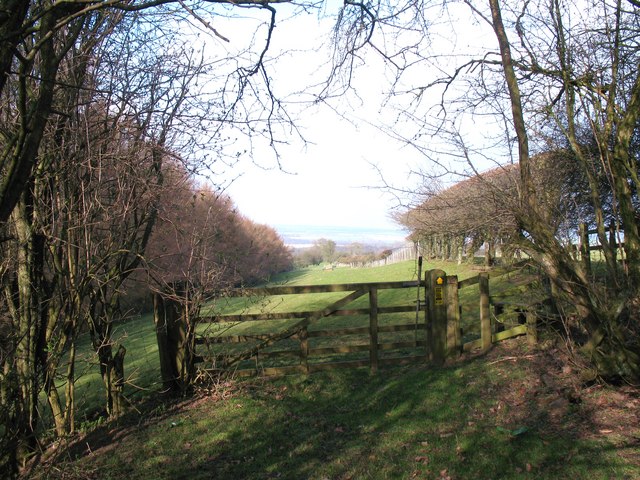
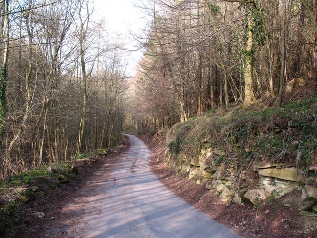
Access to Waterfall Gill Slack is relatively easy, with a well-marked footpath that guides visitors through the valley. The path offers stunning views of the waterfalls and allows visitors to explore the valley at their own pace. There are also picnic spots along the way, providing a perfect opportunity to relax and enjoy the serene surroundings.

Overall, Waterfall Gill Slack is a hidden gem within the Yorkshire Dales, offering a peaceful retreat and a chance to reconnect with nature. Its stunning waterfalls, lush greenery, and abundant wildlife make it a must-visit destination for anyone seeking a true Yorkshire countryside experience.

If you have any feedback on the listing, please let us know in the comments section below.

Waterfall Gill Slack Images

Images are sourced within 2km of 54.239713/-1.1547454 or Grid Reference SE5582. Thanks to Geograph Open Source API. All images are credited.

Byland Moor Plantation Conifers in Byland Moor Plantation.
Byland Moor Plantation
Conifers in Byland Moor Plantation.
Cockerdale Looking down Cockerdale
Cockerdale
Looking down Cockerdale
Gate at the field edge near Cam Farm
Scawton Moor Looking NW from the path that goes from the A170 to Rievaulx.
Scawton Moor
Looking NW from the path that goes from the A170 to Rievaulx.
Hags Wood Bridleway in Hags Wood.
Hags Wood
Bridleway in Hags Wood.
Above Flassen Dale Looking NW from the path that is not waymarked and very overgrown and hard to find in places.
Above Flassen Dale
Looking NW from the path that is not waymarked and very overgrown and hard to find in places.
Shooting hut in Flassen Dale There were other huts nearby.
Shooting hut in Flassen Dale
There were other huts nearby.
Old milepost This NRYCC milepost on the A170 is opposite a bungalow and the farm buildings of High Lodge.  On its side of the road there is a footpath into Wass Moor Woods.   The posts on this road were dug up and taken to the Cleveland Corrosion works at Staithes where they were refurbished in a dry, clean atmosphere.   18 years later they have stood up well to the weather on this route.  The foundry name where they were cast in the late 19C, F Mattison & Co. Bedale, is inside the lhs.   Grade II listed 11911336.
Old milepost
This NRYCC milepost on the A170 is opposite a bungalow and the farm buildings of High Lodge. On its side of the road there is a footpath into Wass Moor Woods. The posts on this road were dug up and taken to the Cleveland Corrosion works at Staithes where they were refurbished in a dry, clean atmosphere. 18 years later they have stood up well to the weather on this route. The foundry name where they were cast in the late 19C, F Mattison & Co. Bedale, is inside the lhs. Grade II listed 11911336.
Forest track, Wass Moor Track through mature larch and pine plantation. Such an area is far more pleasant than gloomy blocks of norway spruce, and here one can hear chaffinches, robins and coal tits calling.
Forest track, Wass Moor
Track through mature larch and pine plantation. Such an area is far more pleasant than gloomy blocks of norway spruce, and here one can hear chaffinches, robins and coal tits calling.
Lambing time at Scawton Sheep with lambs at Scawton.
Lambing time at Scawton
Sheep with lambs at Scawton.
Access land at Scawton An area of access land to the east of the village, mostly rough grazing with hawthorn trees.
Access land at Scawton
An area of access land to the east of the village, mostly rough grazing with hawthorn trees.
Footpath into the field The point at which the public footpath emerges from scrubby woodland into open pastures close to Bungdale Head Farm.
Footpath into the field
The point at which the public footpath emerges from scrubby woodland into open pastures close to Bungdale Head Farm.
Bungdale Head farm road At this point the road is also the line of a public footpath. On the right are outcrops of limestone, whilst to the left the ground drops rapidly into the narrow Waterfall Gill which is choked with trees and undergrowth. The name seems entirely inappropriate as the gill is completely dry.
Bungdale Head farm road
At this point the road is also the line of a public footpath. On the right are outcrops of limestone, whilst to the left the ground drops rapidly into the narrow Waterfall Gill which is choked with trees and undergrowth. The name seems entirely inappropriate as the gill is completely dry.
Village Hall, Scawton A small hall for a tiny village. This little 'tin' structure dates from the 1920's when it was brought here in sections from Helmsley station by horse and cart.
Village Hall, Scawton
A small hall for a tiny village. This little 'tin' structure dates from the 1920's when it was brought here in sections from Helmsley station by horse and cart.
Upside down Union Flag #20 On the A170 at High Lodge
Upside down Union Flag #20
On the A170 at High Lodge
The entrance to Camm Grange Farm, on the A170
The A170, High Street towards Sutton Bank
Cam Farm, North York Moors
Show me another place!

Waterfall Gill Slack is located at Grid Ref: SE5582 (Lat: 54.239713, Lng: -1.1547454)

Division: North Riding

Administrative County: North Yorkshire

District: Ryedale

Police Authority: North Yorkshire

What 3 Words

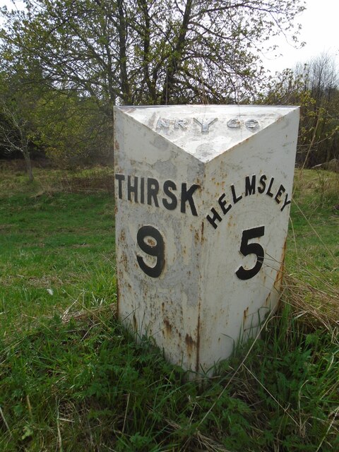
///flushes.manly.artichoke. Near Helmsley, North Yorkshire

Related Wikis

Scawton

Scawton is a village and former civil parish in North Yorkshire, England. The hamlet lies just east of Sutton Bank, north of the A170 road, and 5 miles...

Battle of Old Byland

The Battle of Old Byland (also known as the Battle of Byland Abbey, the Battle of Byland Moor and the Battle of Scotch Corner) was a significant encounter...

Old Byland and Scawton

Old Byland and Scawton is a civil parish in the Ryedale district, in the county of North Yorkshire, England. The parish includes the villages of Old Byland...

Cold Kirby

Cold Kirby is a village and civil parish in the Ryedale district of North Yorkshire, England. The population at the 2011 census (including Angram Grange...

Hambleton, Ryedale

Hambleton is a hamlet on the A170 road between Thirsk and Pickering in North Yorkshire, England. It lies on the Hambleton Hills 1 mile east of Sutton Bank...

Rievaulx Abbey

Rievaulx Abbey ( ree-VOH) was a Cistercian abbey in Rievaulx, near Helmsley, in the North York Moors National Park, North Yorkshire, England. It was one...

Rievaulx

Rievaulx (usually pronounced REE-voh) is a small village and civil parish in Rye Dale within the North York Moors National Park near Helmsley in North...

Swiss Cottage, Rievaulx

Swiss Cottage is a Grade II listed building in the English village of Rievaulx, North Yorkshire. It dates to at least the 17th century, with earlier origins...

Nearby Amenities

Located within 500m of 54.239713,-1.1547454
Pub
The Hare Inn
Addr City: Scawton
Addr Postcode: YO7 2HG
Lat/Long: 54.243306/-1.1591822
Passing Place
Lat/Long: 54.2414253/-1.1603397
The data included in this document is from www.openstreetmap.org. The data is made available under ODbL.

Have you been to Waterfall Gill Slack?

Leave your review of Waterfall Gill Slack below (or comments, questions and feedback).