The Clough
Valley in Yorkshire Hambleton
England
The Clough
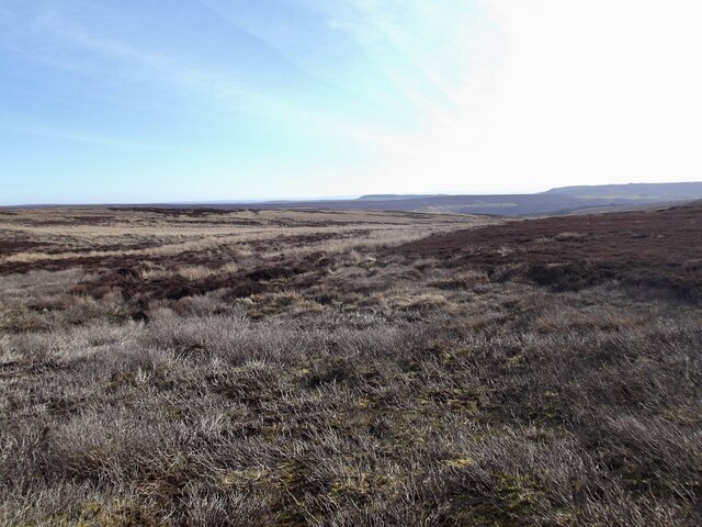
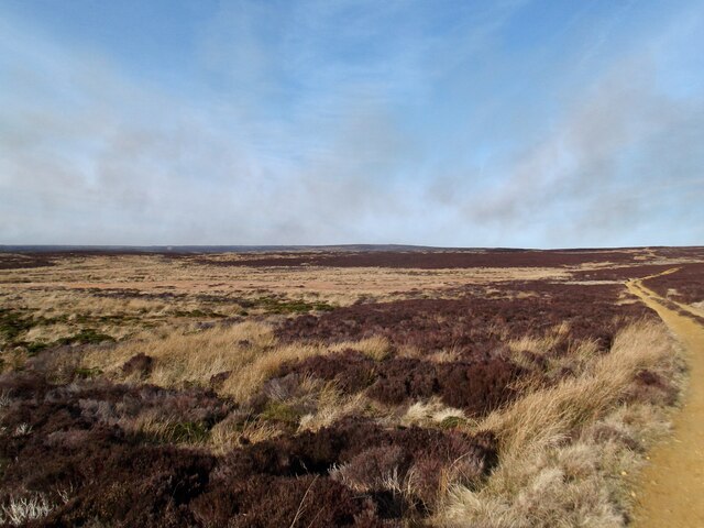
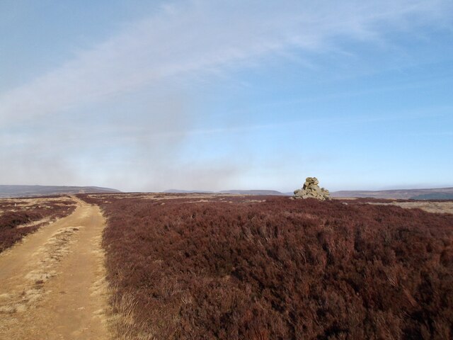
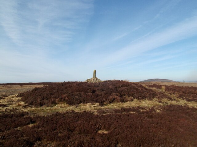
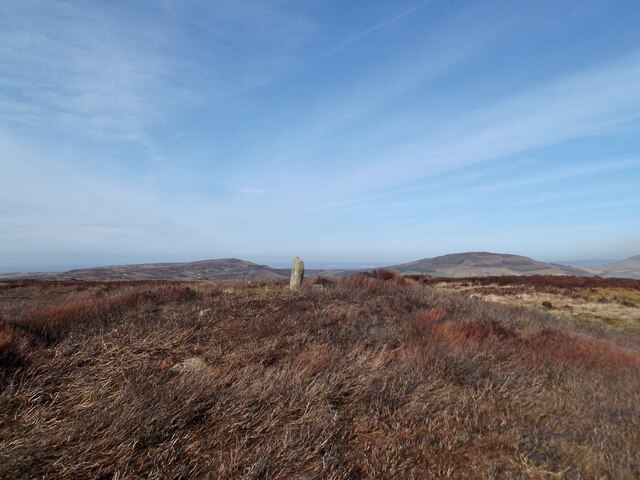
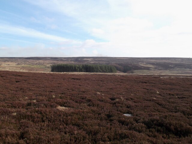
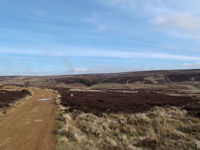
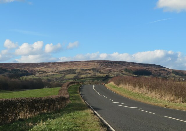
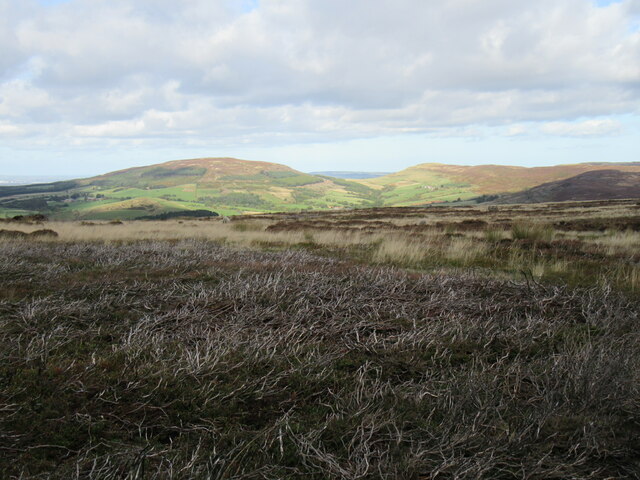
The Clough is a picturesque valley located in Yorkshire, England. Nestled between rolling hills and lush greenery, this valley is a popular destination for nature lovers and outdoor enthusiasts. The Clough is known for its stunning scenery, with towering cliffs, cascading waterfalls, and a meandering river running through the valley. The area is home to a variety of wildlife, including birds, deer, and other forest creatures.
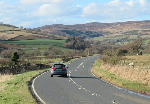
Visitors to The Clough can enjoy a range of outdoor activities, such as hiking, birdwatching, and picnicking. There are several well-maintained trails that wind through the valley, offering visitors the opportunity to explore the natural beauty of the area. The Clough is also a great spot for photography, with its dramatic landscapes providing the perfect backdrop for capturing stunning images.
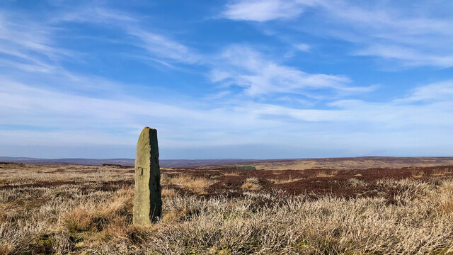
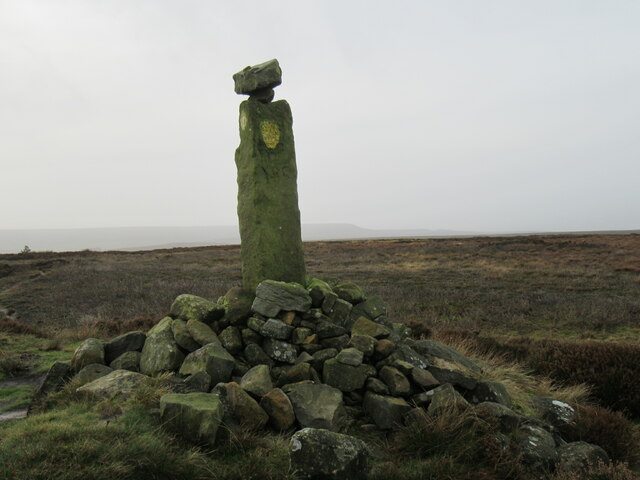
In addition to its natural beauty, The Clough has a rich history, with evidence of human settlement dating back thousands of years. The valley is dotted with historic sites, including ancient ruins and stone circles, which provide a glimpse into the area's past. Overall, The Clough is a peaceful and scenic destination that offers visitors the chance to connect with nature and explore the beauty of Yorkshire's countryside.
If you have any feedback on the listing, please let us know in the comments section below.
The Clough Images
Images are sourced within 2km of 54.369175/-1.1542292 or Grid Reference SE5597. Thanks to Geograph Open Source API. All images are credited.

![Cam House, Bilsdale Hillside farmhouse with a view over the dale. Recent tree planting below and to the right of the house across an area marked as &#039;Tips [disused]&#039; on the OS map. Old 6&quot; maps show these as old jet workings.](https://s3.geograph.org.uk/geophotos/07/11/84/7118495_a76ae01b.jpg)
The Clough is located at Grid Ref: SE5597 (Lat: 54.369175, Lng: -1.1542292)
Division: North Riding
Administrative County: North Yorkshire
District: Hambleton
Police Authority: North Yorkshire
What 3 Words
///noun.voices.rosier. Near Bilsdale, North Yorkshire
Nearby Locations
Related Wikis
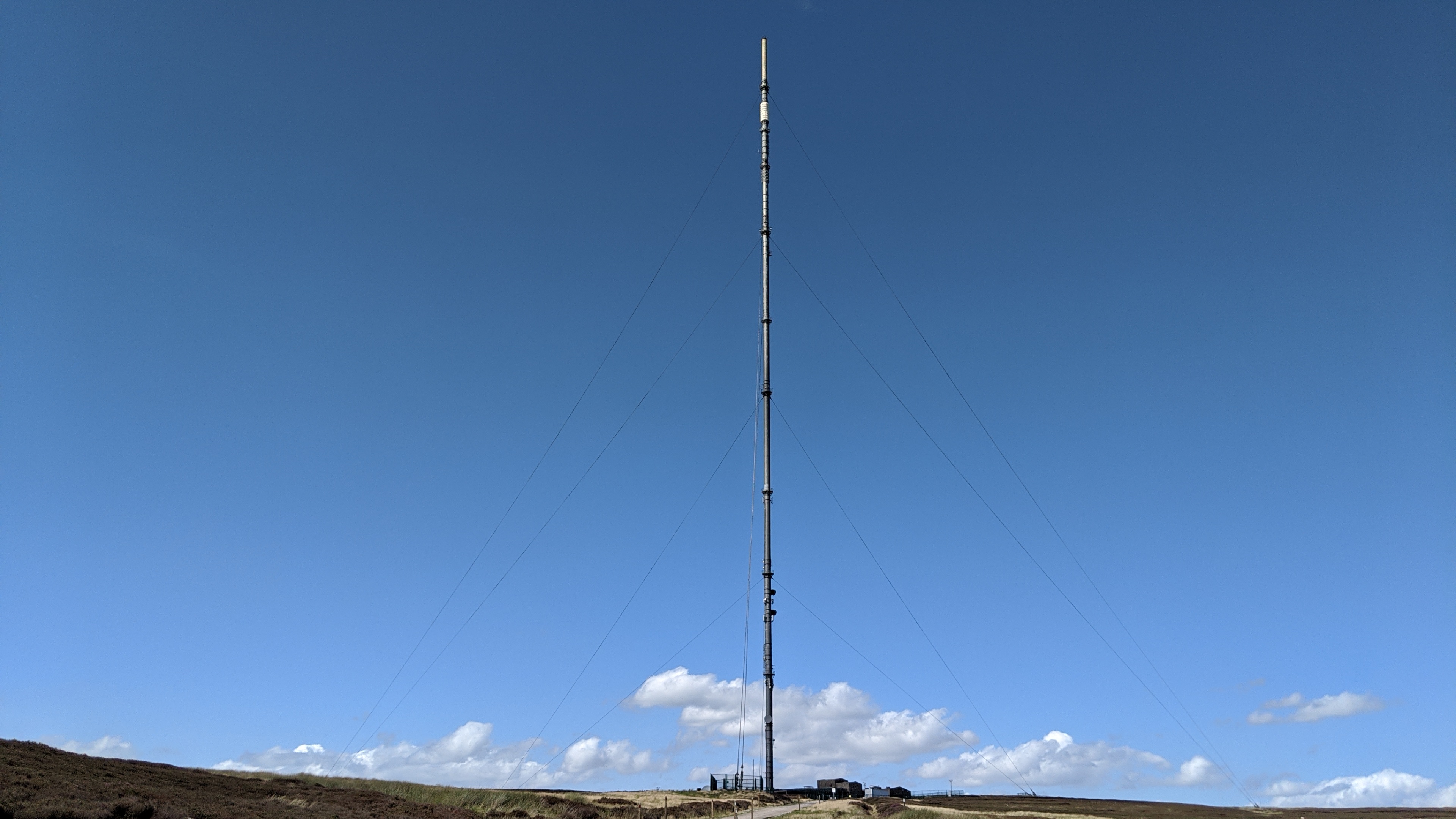
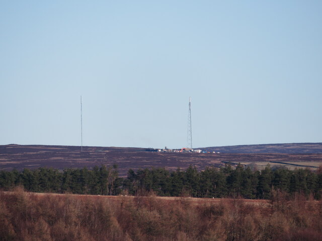
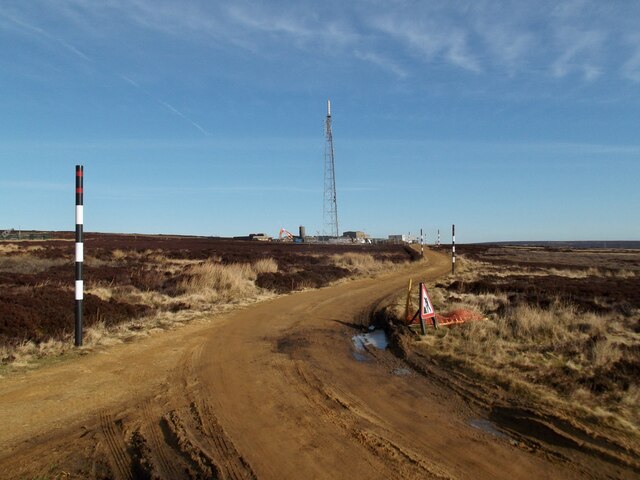
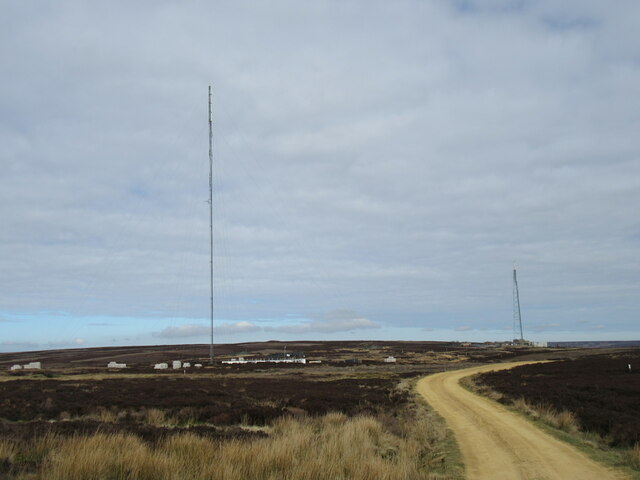
Bilsdale transmitting station
The Bilsdale transmitting station is a broadcasting and telecommunications facility, located at Bilsdale West Moor above Bilsdale, close to Helmsley, North...

Chop Gate
Chop Gate ( CHOP YAT) is a small village in the Hambleton district of North Yorkshire, England. The village lies within the North York Moors National Park...

Bilsdale Midcable
Bilsdale Midcable is a civil parish in North Yorkshire, England, which occupies the northern part of Bilsdale in the North York Moors National Park. According...

Bilsdale
Bilsdale is a dale in the western part of the North York Moors in North Yorkshire, England. The head of the dale is at Hasty Bank, and the dale extends...
Have you been to The Clough?
Leave your review of The Clough below (or comments, questions and feedback).