Longacre Dene
Valley in Durham
England
Longacre Dene
Longacre Dene is a picturesque village located in the Durham Valley, in the northeast of England. Situated amidst lush greenery and rolling hills, this small community offers a tranquil and idyllic setting for residents and visitors.
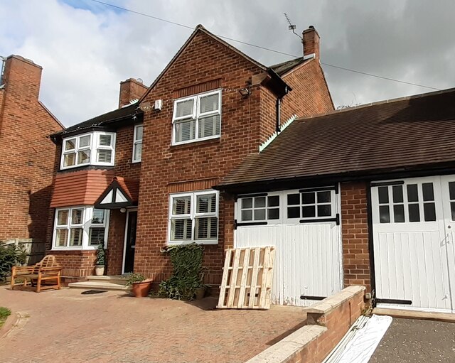
The village of Longacre Dene is known for its charming stone houses and quaint cottages, which add to its traditional English countryside appeal. The surrounding landscape consists of meadows, woodlands, and a nearby river, making it an ideal location for nature lovers and outdoor enthusiasts.
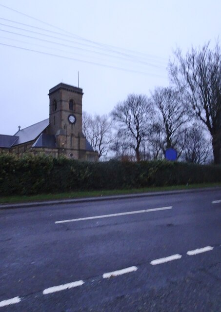
Longacre Dene is home to a close-knit community that takes pride in preserving the village's heritage. The local church, St. Mary's, is a notable landmark and has been a focal point of the village since its construction in the 13th century. The church's beautiful stained glass windows and historic architecture draw visitors from far and wide.
In terms of amenities, Longacre Dene offers a range of facilities to cater to its residents' needs. These include a primary school, a village hall, and a small grocery store. For more extensive shopping and entertainment options, the nearby city of Durham is easily accessible.
The village also benefits from a strong sense of community spirit, with various events and activities organized throughout the year. These include village fairs, summer festivals, and local sports tournaments, which help foster a sense of belonging and camaraderie among the residents.
Longacre Dene's peaceful atmosphere, natural beauty, and vibrant community make it an appealing place to live or visit for those seeking a quieter, rural lifestyle in the heart of the Durham Valley.
If you have any feedback on the listing, please let us know in the comments section below.
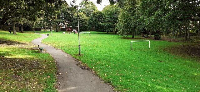
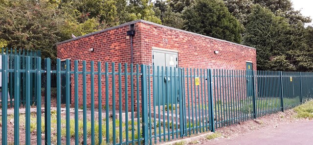
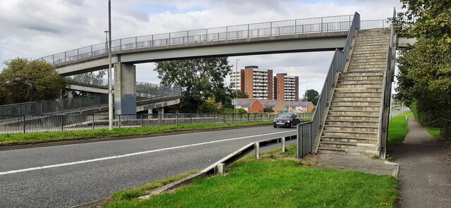
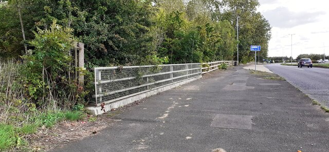
Longacre Dene Images
Images are sourced within 2km of 54.909148/-1.58802 or Grid Reference NZ2657. Thanks to Geograph Open Source API. All images are credited.


Longacre Dene is located at Grid Ref: NZ2657 (Lat: 54.909148, Lng: -1.58802)
Unitary Authority: Gateshead
Police Authority: Northumbria
What 3 Words
///responses.version.discussed. Near Lamesley, Tyne & Wear
Nearby Locations
Related Wikis

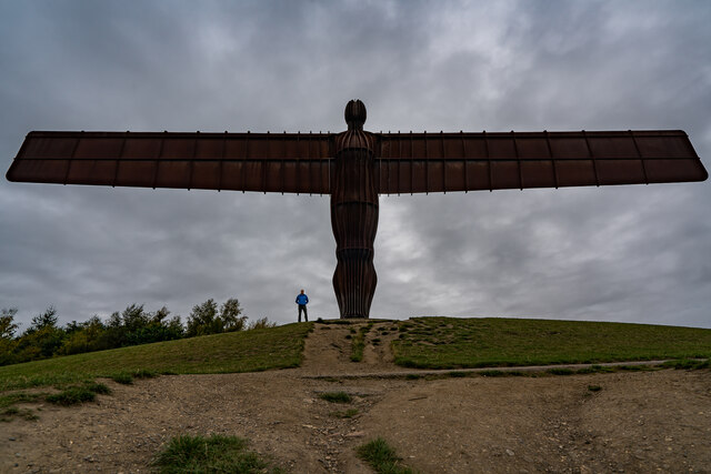
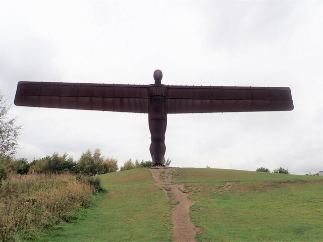
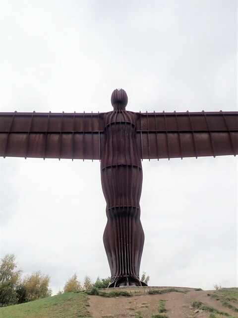
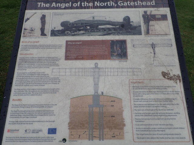
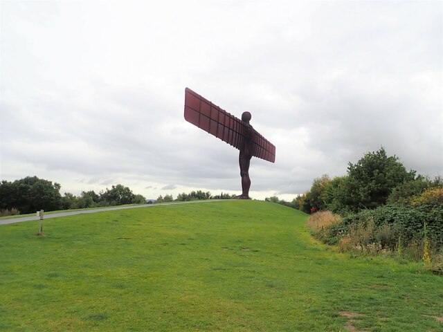
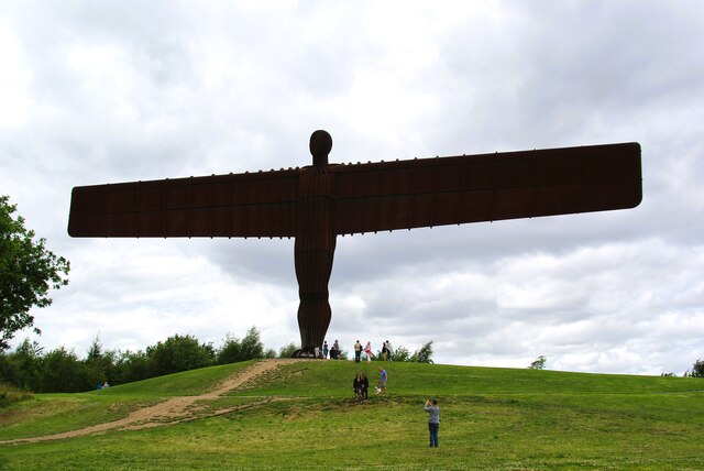
Angel of the North
The Angel of the North is a contemporary sculpture by Antony Gormley, located in Gateshead, Tyne and Wear, England. Completed in 1998, it is believed to...

Team Colliery
Team Colliery is a hamlet and estate in the Metropolitan Borough of Gateshead, Tyne and Wear, England. The estate is made up of 23 private and rented houses...

Tyne Yard
Tyne Yard (TY) is a railway yard in Birtley, England, on the East Coast Main Line, operated by DB Cargo UK. The yard is the major freight yard of the North...

Lamesley railway station
Lamesley railway station served the village of Lamesley, Tyne and Wear, England from 1868 to 1959 on the East Coast Main Line. == History == The station...
Nearby Amenities
Located within 500m of 54.909148,-1.58802Have you been to Longacre Dene?
Leave your review of Longacre Dene below (or comments, questions and feedback).