Asher's Bottom

Valley in Hampshire New Forest

England

Asher's Bottom

The Rufus Stone
The Rufus Stone Credit: Helen Steed

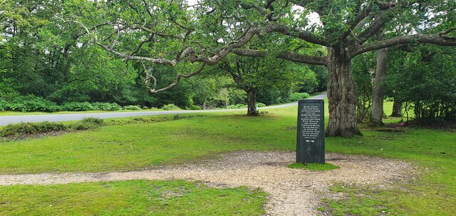
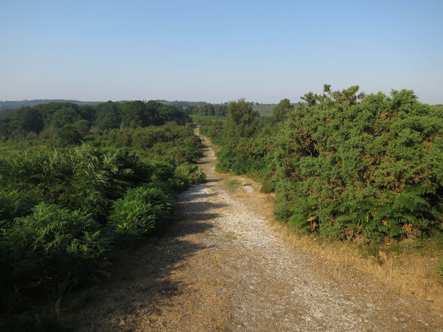
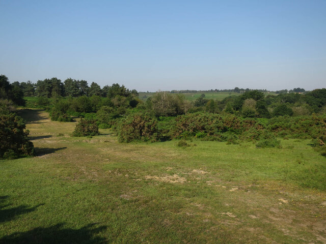
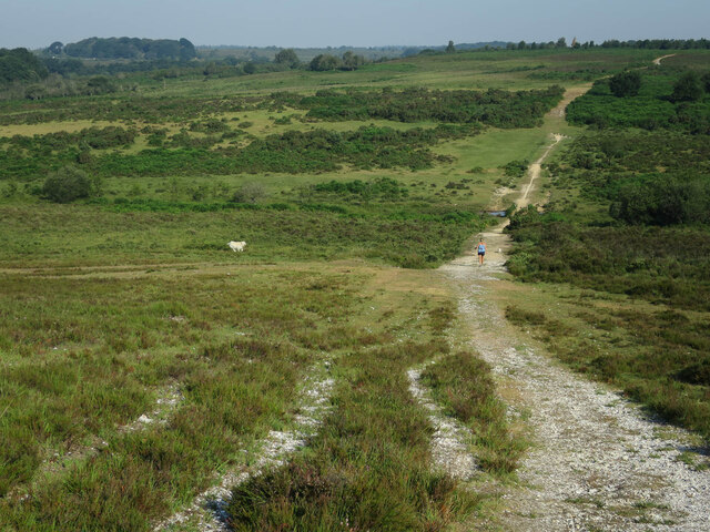
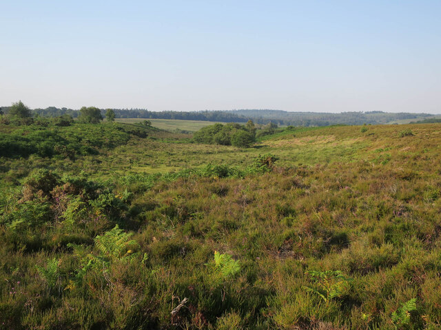
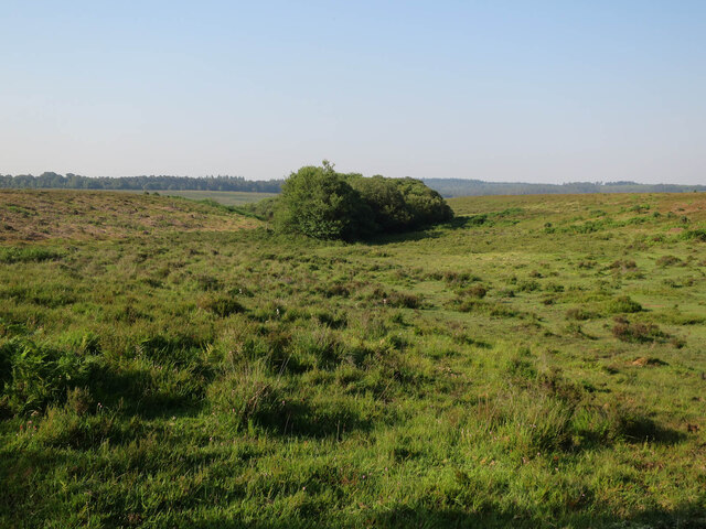
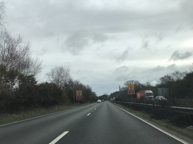
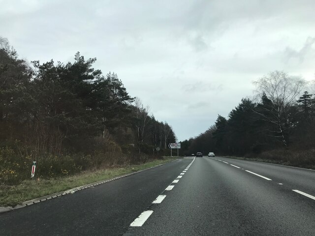
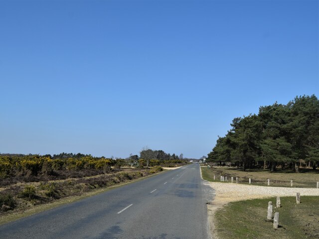
Asher's Bottom, located in Hampshire, England, is a picturesque valley nestled within the South Downs National Park. This small rural area is renowned for its natural beauty and tranquil surroundings, making it a popular destination for nature enthusiasts and those seeking a peaceful retreat.

The valley is named after the Asher family, who were early settlers in the area during the 18th century. It is situated between two gentle hills, offering stunning views of the surrounding countryside. Lush green meadows, dotted with wildflowers, dominate the landscape, while a meandering river runs through the valley, adding to its charm.

Asher's Bottom boasts a diverse range of flora and fauna, with an abundance of wildlife inhabiting the area. It is a haven for birdwatchers, as various species of birds, including rare and migratory ones, can be spotted throughout the year. The valley is also home to several species of butterflies, adding a vibrant touch to the already picturesque surroundings.

For outdoor enthusiasts, Asher's Bottom offers numerous walking and hiking trails that allow visitors to explore the valley's natural wonders. The lush meadows provide excellent opportunities for picnics and leisurely strolls, while the hills present more challenging routes for those seeking a more adventurous experience.

The surrounding villages near Asher's Bottom offer quaint accommodations, such as cozy bed and breakfasts and country inns, ensuring a comfortable stay for visitors. Additionally, the valley is conveniently located near other attractions, including historic sites, charming market towns, and renowned gardens, allowing visitors to further explore the rich heritage and culture of Hampshire.

Overall, Asher's Bottom, Hampshire, is a tranquil and idyllic valley that offers a perfect escape from the hustle and bustle of everyday life, providing visitors with a chance to immerse themselves in the beauty of nature and enjoy a peaceful retreat.

If you have any feedback on the listing, please let us know in the comments section below.

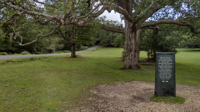
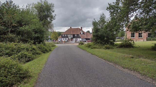
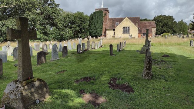
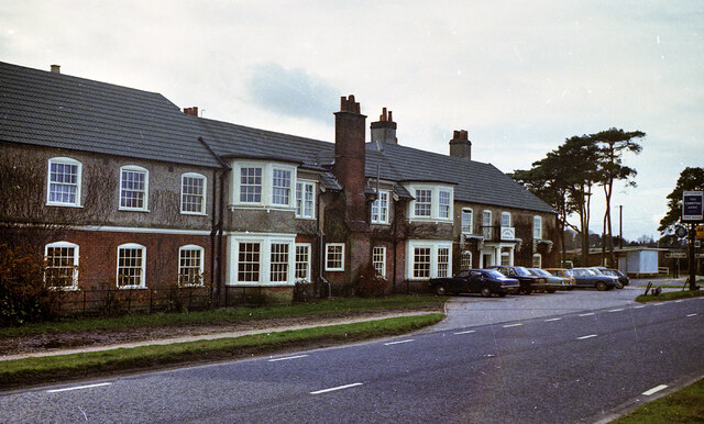
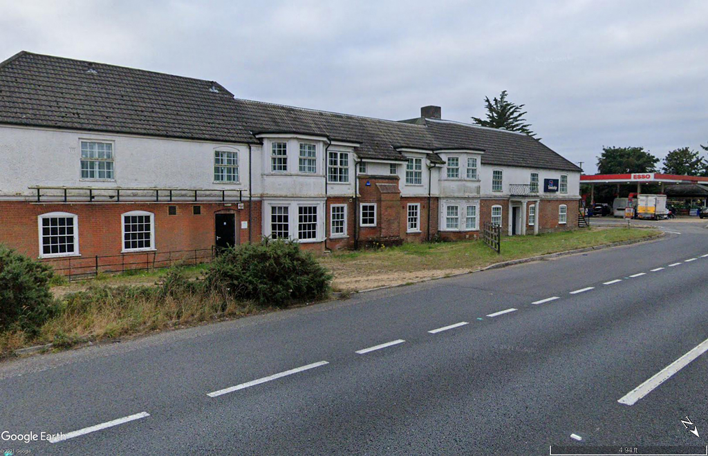
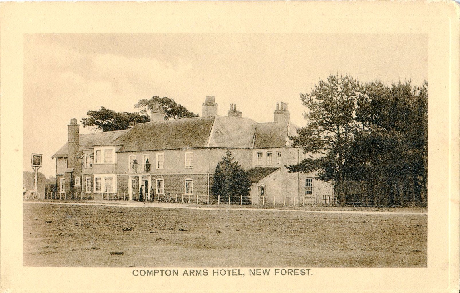
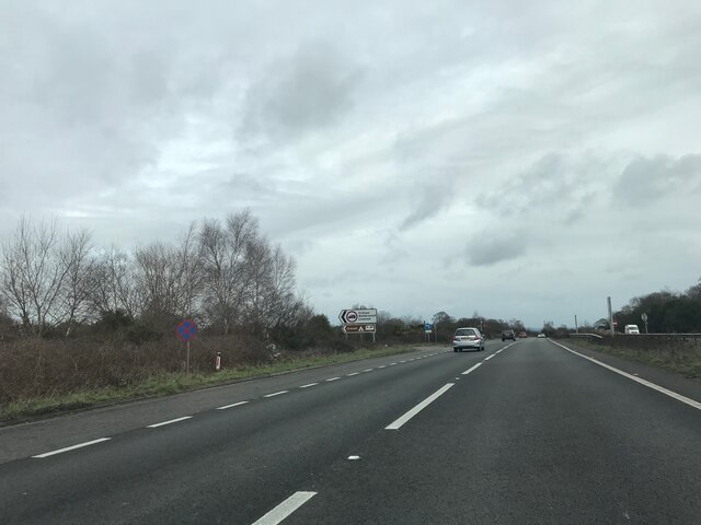
Asher's Bottom Images

Images are sourced within 2km of 50.898692/-1.624047 or Grid Reference SU2611. Thanks to Geograph Open Source API. All images are credited.

The Rufus Stone
The Rufus Stone
Minstead : The A31 Looking along the A31.
Minstead : The A31
Looking along the A31.
Minstead : The A31 Looking along the A31.
Minstead : The A31
Looking along the A31.
Minstead : The A31 Looking along the A31.
Minstead : The A31
Looking along the A31.
Rufus Stone Rufus Stone encased in a protective cover
Rufus Stone
Rufus Stone encased in a protective cover
Lane to Brook Lane to Brook passing the Sir Walter Tyrell pub
Lane to Brook
Lane to Brook passing the Sir Walter Tyrell pub
Sir Arthur Conan Doyle's Grave Sir Arthur Conan Doyle and his wife's grave All Saints Church
Sir Arthur Conan Doyle's Grave
Sir Arthur Conan Doyle and his wife's grave All Saints Church
Track off Stoney Cross Plain A summer version of <a href="https://www.geograph.org.uk/photo/4285054">SU2510 : Newtown, track</a>
Track off Stoney Cross Plain
A summer version of SU2510 : Newtown, track
West of Stoney Cross Plain
Withybed Bottom With a dog off the lead running free. The combined effect of this creates a lot of extra disturbance for ground nesting birds.
Withybed Bottom
With a dog off the lead running free. The combined effect of this creates a lot of extra disturbance for ground nesting birds.
Valley by Fox Hill
Valley by Fox Hill
Valley by Fox Hill The start of Long Brook into Withybed Bottom.
Valley by Fox Hill
The start of Long Brook into Withybed Bottom.
The Compton Arms, Stoney Cross c.1970 Before it became the corporate and characterless Little Chef and the Travelodge of today, The Compton Arms was a long established country inn - a free house, with a reputation for fine food and good ale. Named after a local squire, Henry Compton, its origins lie much further back than when this photograph was taken. In the 18th century it was a posting inn that catered for the local gentry by supplying horses and post chaises for hire, and because of the number of influential personages residing in the locality, a Post Office was established at the inn in 1837. This would have benefitted the local inhabitants considerably, as Stoney Cross was on the mail coach route from London to Poole via Southampton. Interestingly, although the building long ago had given up its post office, in 2008 it still retained its now disused Edwardian GPO postbox. <a title="https://www.geograph.org.uk/photo/962737" href="https://www.geograph.org.uk/photo/962737">Link</a>

At sometime in the past, in order to accommodate the ever increasing number of motorists, the building had been sensitively extended to the east, the extension incorporating a new bay window to match the old one to the west. Since then, the old coaching inn has been remodelled, and now compares unfavourably with the photo above in this Sept. 2021 Streetview image: <span class="nowrap"><a title="https://media.geograph.org.uk/files/7eabe3a1649ffa2b3ff8c02ebfd5659f/Compton_Arms_GE-original.jpg" rel="nofollow ugc noopener" href="https://media.geograph.org.uk/files/7eabe3a1649ffa2b3ff8c02ebfd5659f/Compton_Arms_GE-original.jpg">Link</a><img style="margin-left:2px;" alt="External link" title="External link - shift click to open in new window" src="https://s1.geograph.org.uk/img/external.png" width="10" height="10"/></span> 

The Compton Arms - early 20th century: <span class="nowrap"><a title="https://media.geograph.org.uk/files/7eabe3a1649ffa2b3ff8c02ebfd5659f/MGPC004-original.jpg" rel="nofollow ugc noopener" href="https://media.geograph.org.uk/files/7eabe3a1649ffa2b3ff8c02ebfd5659f/MGPC004-original.jpg">Link</a><img style="margin-left:2px;" alt="External link" title="External link - shift click to open in new window" src="https://s1.geograph.org.uk/img/external.png" width="10" height="10"/></span>
The Compton Arms, Stoney Cross c.1970
Before it became the corporate and characterless Little Chef and the Travelodge of today, The Compton Arms was a long established country inn - a free house, with a reputation for fine food and good ale. Named after a local squire, Henry Compton, its origins lie much further back than when this photograph was taken. In the 18th century it was a posting inn that catered for the local gentry by supplying horses and post chaises for hire, and because of the number of influential personages residing in the locality, a Post Office was established at the inn in 1837. This would have benefitted the local inhabitants considerably, as Stoney Cross was on the mail coach route from London to Poole via Southampton. Interestingly, although the building long ago had given up its post office, in 2008 it still retained its now disused Edwardian GPO postbox. Link At sometime in the past, in order to accommodate the ever increasing number of motorists, the building had been sensitively extended to the east, the extension incorporating a new bay window to match the old one to the west. Since then, the old coaching inn has been remodelled, and now compares unfavourably with the photo above in this Sept. 2021 Streetview image: LinkExternal link The Compton Arms - early 20th century: LinkExternal link
Signage - A31 northbound
Towards the A31 at Stoney Cross The car park at the strangely named Andrew's Mare is off at the next track right
Towards the A31 at Stoney Cross
The car park at the strangely named Andrew's Mare is off at the next track right
The road to Newtown and Minstead
Show me another place!

Asher's Bottom is located at Grid Ref: SU2611 (Lat: 50.898692, Lng: -1.624047)

Administrative County: Hampshire

District: New Forest

Police Authority: Hampshire

What 3 Words

///punk.ringers.majors. Near Cadnam, Hampshire

Related Wikis

Minstead

Minstead is a small village and civil parish in the New Forest, Hampshire, about 2 miles (3.2 km) north of Lyndhurst. There is a shop and a pub, the Trusty...

Upper Canterton

Upper Canterton is a village in Hampshire, England, located at 50°54′36″N 1°37′24″W. It is near Minstead. == References == The geographic coordinates are...

Minstead Lodge

Minstead Lodge in Hampshire is a building of historical significance built in about 1830 and is Grade II listed on the English Heritage Register. Today...

New Forest District

New Forest is a local government district in Hampshire, England. Its council is based in Lyndhurst, although the largest town is Totton. The district also...

Brook, New Forest

Brook is a hamlet in the civil parish of Bramshaw, in Hampshire, England. It lies just inside the New Forest. The hamlet contains a mix of 18th and 19th...

Emery Down

Emery Down is a small village in the New Forest National Park in Hampshire, England. Its nearest town is Lyndhurst, which lies approximately 1.4 miles...

Portuguese Fireplace

The Portuguese Fireplace is a war memorial in the New Forest National Park, near the village of Lyndhurst, Hampshire, England. It is located on the road...

Cadnam

Cadnam is a village situated in Hampshire, England, within the boundaries of the New Forest National Park. The village has existed since the medieval period...

Nearby Amenities

Located within 500m of 50.898692,-1.624047
Ford: yes
Lat/Long: 50.8990477/-1.620114
The data included in this document is from www.openstreetmap.org. The data is made available under ODbL.

Have you been to Asher's Bottom?

Leave your review of Asher's Bottom below (or comments, questions and feedback).