Eighton, Low
Settlement in Durham
England
Eighton, Low

Eighton Low is a small village located in County Durham, in the northeastern part of England. Situated approximately five miles south of Gateshead and eight miles southwest of Newcastle upon Tyne, it falls within the metropolitan borough of Gateshead. The village is part of the wider area known as Eighton Banks.
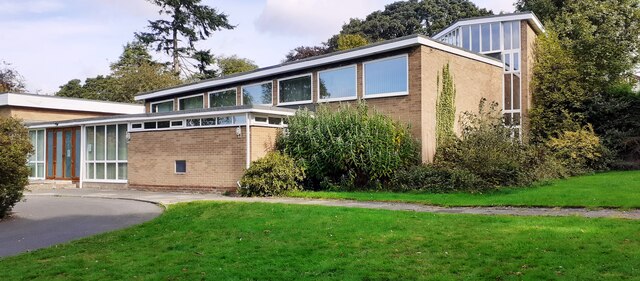
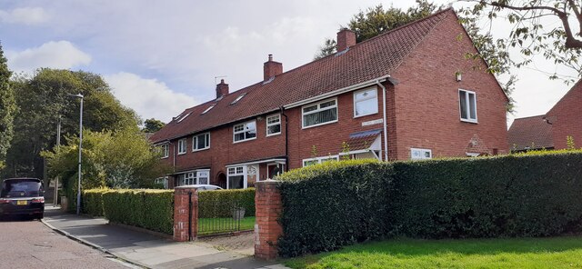
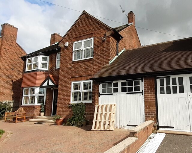
The village is primarily residential, with a mix of detached and semi-detached houses, as well as a few small apartment buildings. The properties are mostly modern and well-maintained, reflecting a suburban character. Eighton Low benefits from its close proximity to both Gateshead and Newcastle, offering residents easy access to a wide range of amenities, services, and employment opportunities.
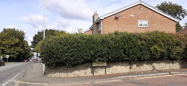
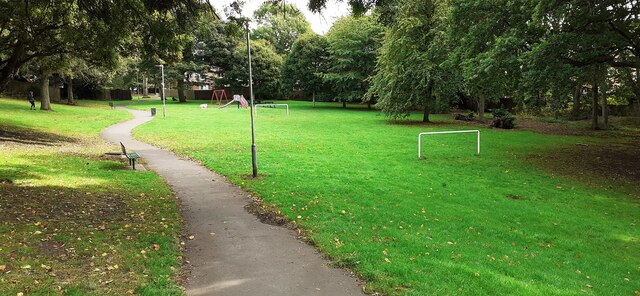
The village is surrounded by picturesque countryside, with rolling hills and green fields providing a tranquil and scenic setting. Nearby, residents can enjoy outdoor activities such as walking, hiking, and cycling.
In terms of facilities, Eighton Low has a primary school, providing education for children in the local area. There are also a few local shops and amenities, although many residents rely on the nearby towns for a wider range of services.
Overall, Eighton Low offers a peaceful residential setting with excellent transport links to nearby urban centers. Its combination of rural charm and accessibility to larger towns makes it an attractive place to live for those seeking a balance between countryside living and urban convenience.
If you have any feedback on the listing, please let us know in the comments section below.
Eighton, Low Images
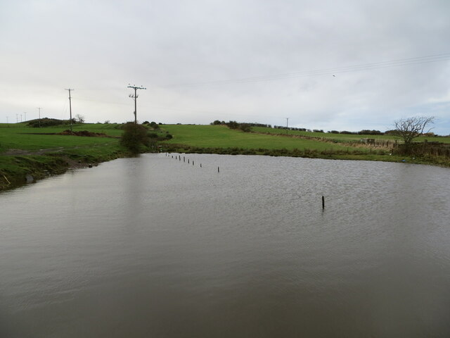
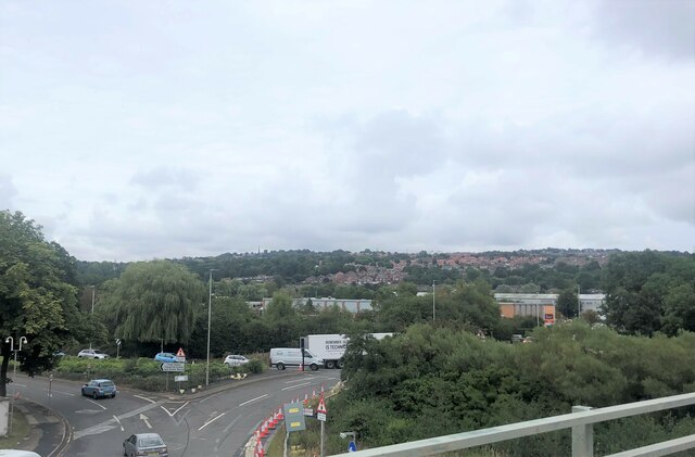
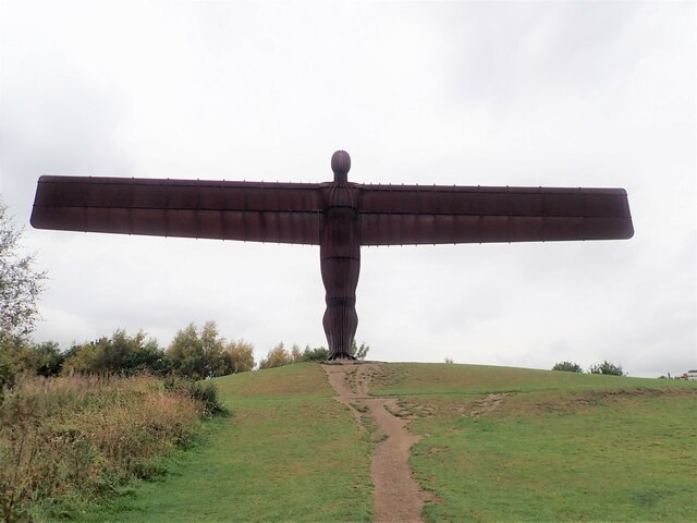
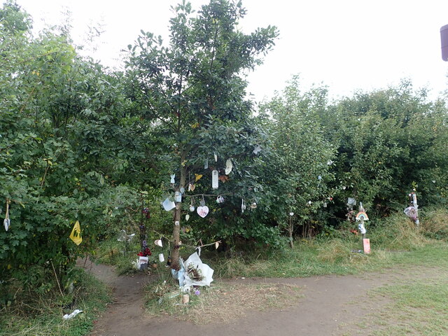
Images are sourced within 2km of 54.913804/-1.585121 or Grid Reference NZ2657. Thanks to Geograph Open Source API. All images are credited.


Eighton, Low is located at Grid Ref: NZ2657 (Lat: 54.913804, Lng: -1.585121)
Unitary Authority: Gateshead
Police Authority: Northumbria
What 3 Words
///joys.introduce.insisting. Near Lamesley, Tyne & Wear
Nearby Locations
Related Wikis

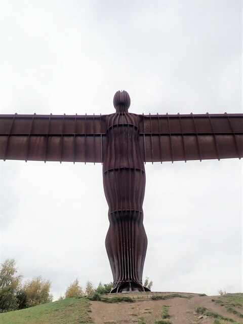
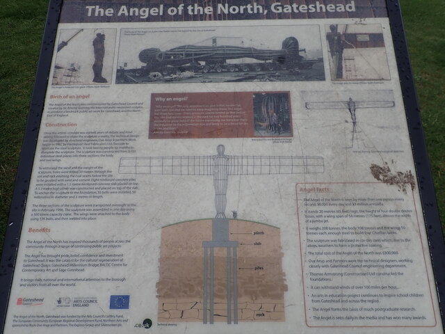
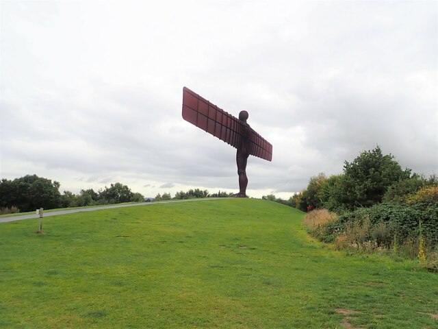
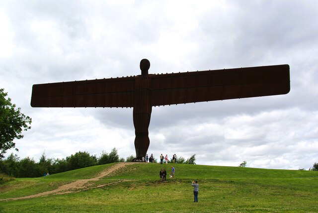
Angel of the North
The Angel of the North is a contemporary sculpture by Antony Gormley, located in Gateshead, Tyne and Wear, England. Completed in 1998, it is believed to...

Team Colliery
Team Colliery is a hamlet and estate in the Metropolitan Borough of Gateshead, Tyne and Wear, England. The estate is made up of 23 private and rented houses...

Tyne Yard
Tyne Yard (TY) is a railway yard in Birtley, England, on the East Coast Main Line, operated by DB Cargo UK. The yard is the major freight yard of the North...

Lamesley railway station
Lamesley railway station served the village of Lamesley, Tyne and Wear, England from 1868 to 1959 on the East Coast Main Line. == History == The station...
Nearby Amenities
Located within 500m of 54.913804,-1.585121Have you been to Eighton, Low?
Leave your review of Eighton, Low below (or comments, questions and feedback).