Back Clough

Valley in Yorkshire

England

Back Clough

The Red Arrows over Round Hill On their way home after performing at an airshow at the Isle of Man
The Red Arrows over Round Hill Credit: Philip Cornwall

Back Clough is a picturesque valley located in the county of Yorkshire, England. Nestled within the scenic Pennine Hills, it offers breathtaking natural beauty and a tranquil atmosphere. The valley is situated near the village of Marsden, approximately 20 miles west of Huddersfield.

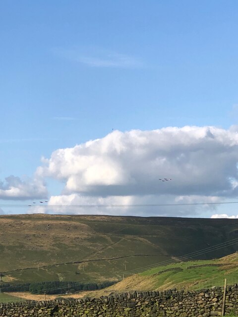
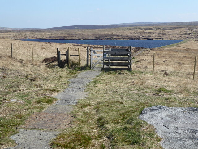
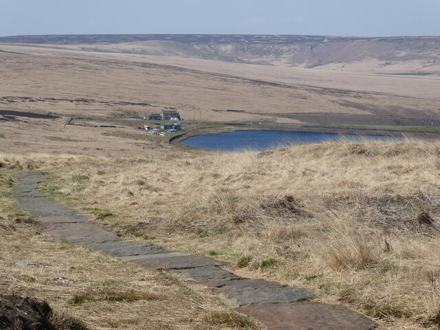
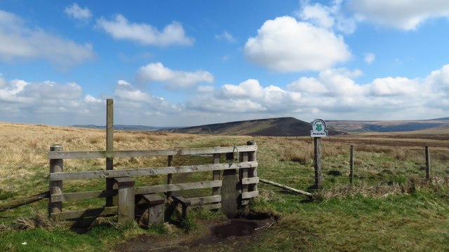
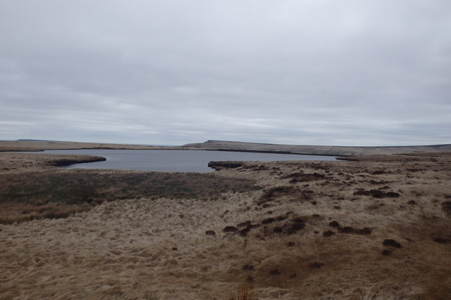
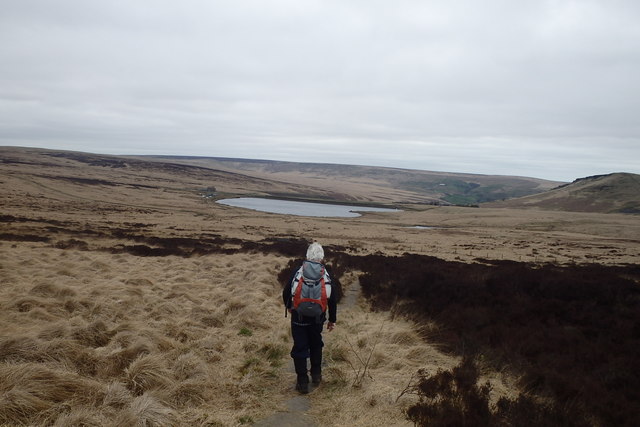
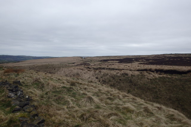
Back Clough is known for its stunning landscapes, with rolling hills, lush green fields, and dense woodland that surround the area. The valley is traversed by a small river, which adds to its charm and provides a soothing soundtrack to the surroundings. The river is also home to a variety of wildlife, including ducks, herons, and occasionally otters.

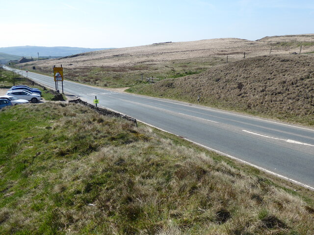
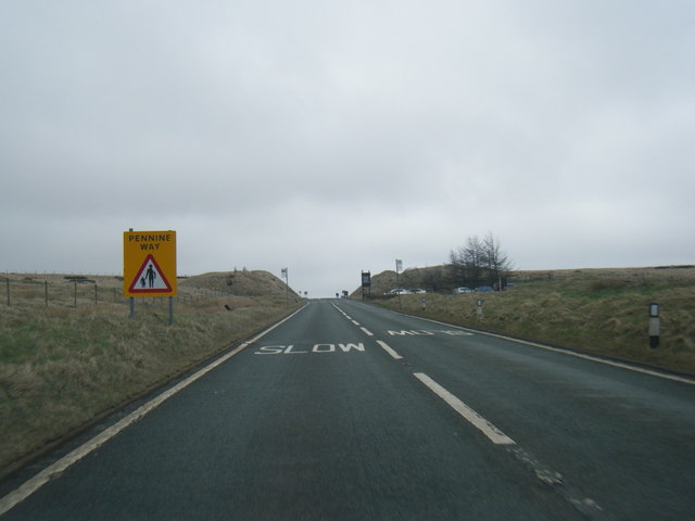
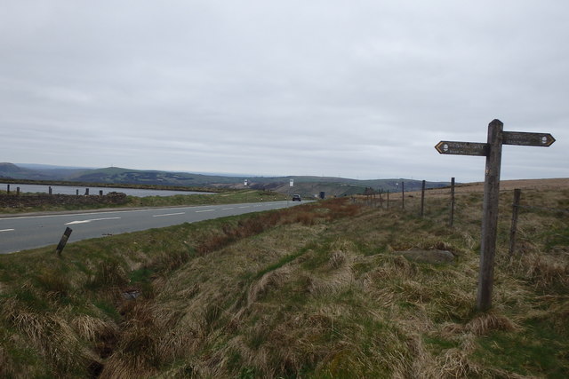
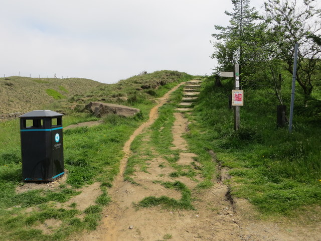
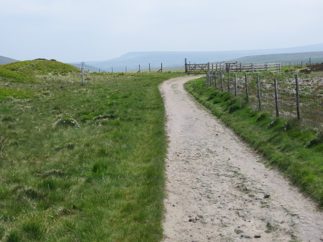
Visitors to Back Clough can enjoy a range of outdoor activities, such as hiking, birdwatching, and photography. There are several well-marked trails that meander through the valley, offering breathtaking views of the surrounding countryside. The area is particularly popular with hikers, as it provides a gateway to the wider Pennine Hills and the famous Peak District National Park.

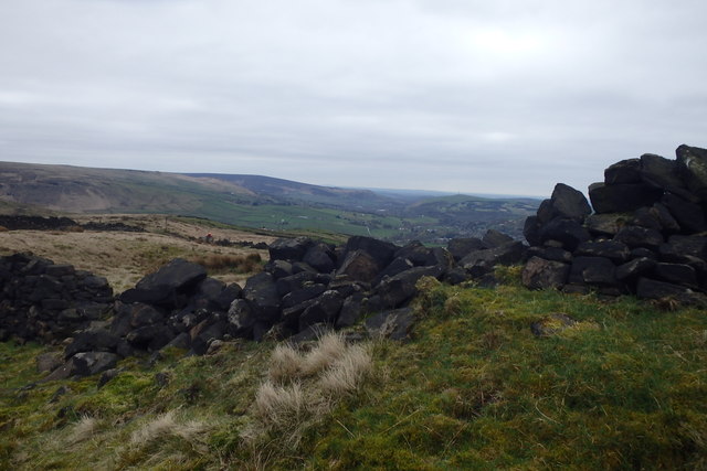
In addition to its natural beauty, Back Clough boasts a rich history. The valley was once inhabited by early settlers and is dotted with remnants of their presence, including ancient stone circles and burial mounds. These archeological sites provide a fascinating glimpse into the area's past.

Overall, Back Clough in Yorkshire is a haven for nature enthusiasts and history buffs alike. Offering a serene escape from the hustle and bustle of city life, it is a place where visitors can immerse themselves in the beauty of the British countryside and connect with the rich heritage of the region.

If you have any feedback on the listing, please let us know in the comments section below.
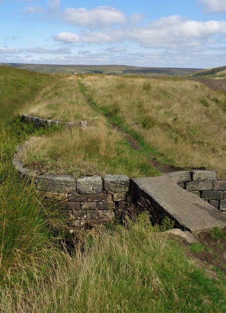
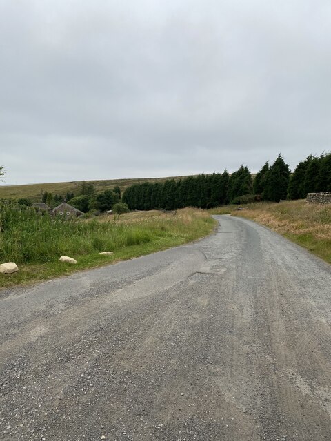
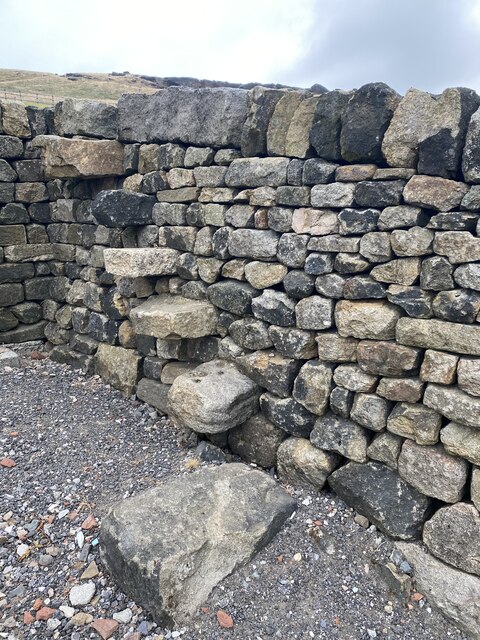
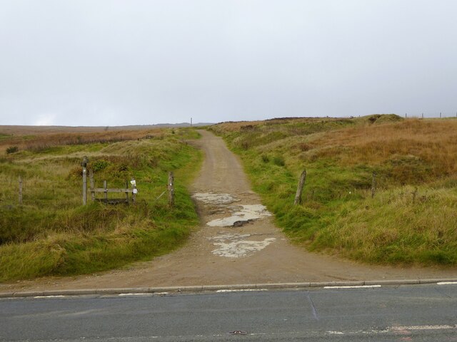
Back Clough Images

Images are sourced within 2km of 53.593149/-1.9600459 or Grid Reference SE0210. Thanks to Geograph Open Source API. All images are credited.

The Red Arrows over Round Hill On their way home after performing at an airshow at the Isle of Man
The Red Arrows over Round Hill
On their way home after performing at an airshow at the Isle of Man
The Pennine Way near Black Moss Reservoir
The Pennine Way near Redbrook Reservoir
The Pennine Way by the A62
Redbrook Reservoir Catchwater  and Path The catchwater and path go into Thieves Clough. The small footbridge crosses an overspill cascade that feeds into Redbrook Clough
Redbrook Reservoir Catchwater and Path
The catchwater and path go into Thieves Clough. The small footbridge crosses an overspill cascade that feeds into Redbrook Clough
Standedge footpath road
Walkers steps on the way to Standedge
Standedge Foot Road Heading away from the A62 road
Standedge Foot Road
Heading away from the A62 road
Stile on county boundary, Standedge Trail
A62 nears the Pennine Way and Standedge Cutting
A62 at Kirklees boundary, in Standedge Cutting
Swellands Reservoir On The Pennine Way
Swellands Reservoir
On The Pennine Way
On The Pennine Way Above Redbrook Reservoir
On The Pennine Way
Above Redbrook Reservoir
Above the A62 On the top of the cutting
Above the A62
On the top of the cutting
Crossing the A62 On the Pennine Way
Crossing the A62
On the Pennine Way
Old Wall We sheltered from the bitter wind behind the old wall, just off the Pennine Way.
Old Wall
We sheltered from the bitter wind behind the old wall, just off the Pennine Way.
Pennine Way footpath leaving the car park at Standedge Looking north-eastward.
Pennine Way footpath leaving the car park at Standedge
Looking north-eastward.
Pennine Way footpath on Marsden Moor Looking eastward. The National Trust sign in the picture indicates the location as Marsden Moor, Standedge.
Pennine Way footpath on Marsden Moor
Looking eastward. The National Trust sign in the picture indicates the location as Marsden Moor, Standedge.
Show me another place!

Back Clough is located at Grid Ref: SE0210 (Lat: 53.593149, Lng: -1.9600459)

Division: West Riding

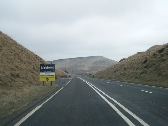
Unitary Authority: Kirklees

Police Authority: West Yorkshire

What 3 Words

///curls.hostels.along. Near Marsden, West Yorkshire

Related Wikis

Standedge Tunnels

The Standedge Tunnels () are four parallel tunnels through the Pennine hills at the Standedge crossing between Marsden in Kirklees, West Yorkshire and...

Marsden Moor Estate

The Marsden Moor Estate is a large expanse of moorland in the South Pennines, between the conurbations of West Yorkshire and Greater Manchester in the...

Standedge

Standedge () is a moorland escarpment in the Pennine Hills of northern England between Marsden, West Yorkshire and Diggle, Greater Manchester. Standedge...
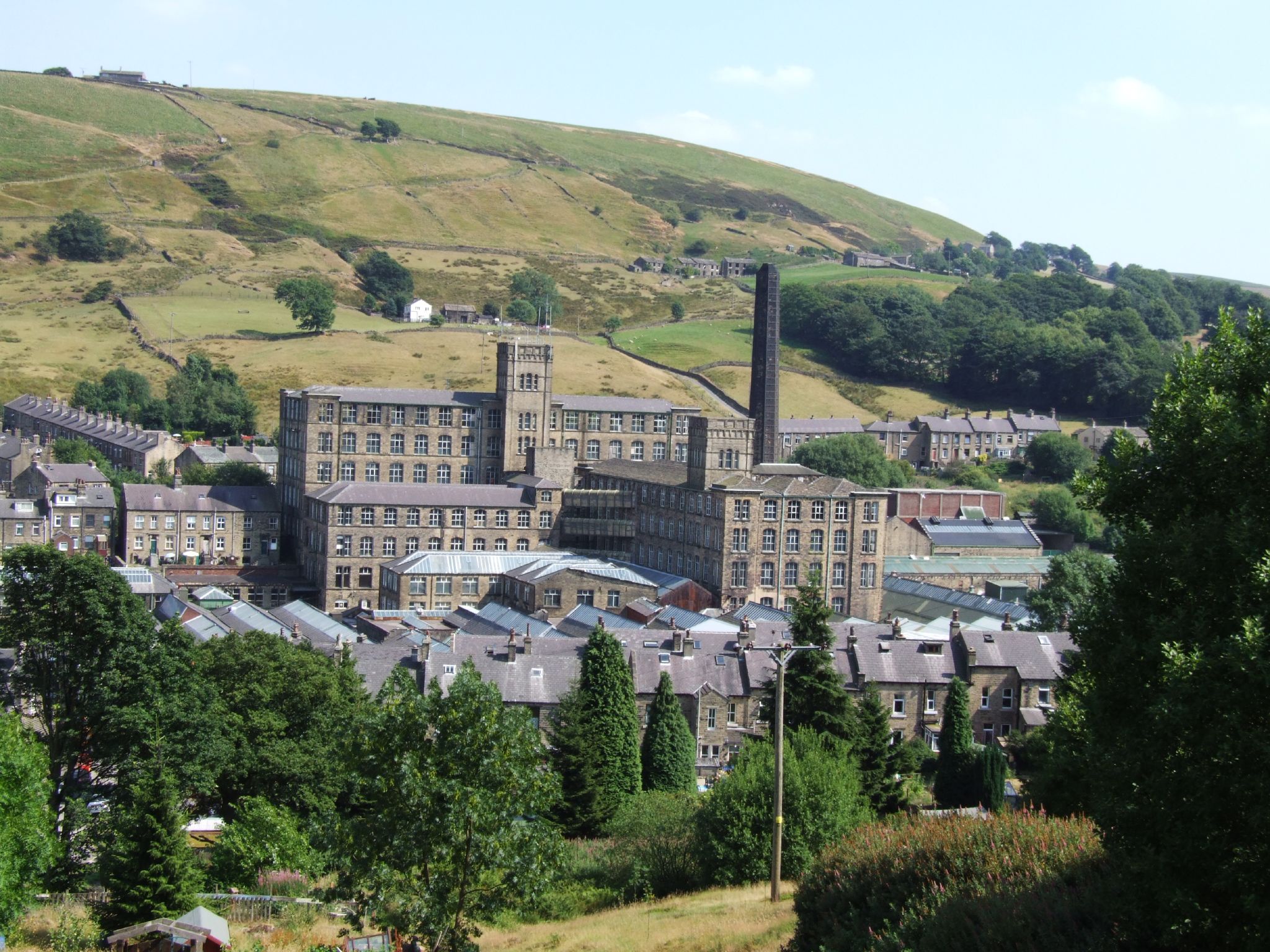
Bank Bottom Mill

Bank Bottom Mill, later known as Marsden Mill, was from 1824 an important centre for the production of woollen cloth in Marsden, West Yorkshire, England...

Nearby Amenities

Located within 500m of 53.593149,-1.9600459
Parking
Parking: street_side
Lat/Long: 53.5958677/-1.9576353
Barrier: stile
Stile: ladder
Lat/Long: 53.5946155/-1.9571917
Pule Hill
Climbing Rock: gritstone
Sport: climbing
Lat/Long: 53.5928603/-1.9535281
Material: wood
Power: pole
Lat/Long: 53.5968618/-1.9564949
Material: wood
Power: pole
Lat/Long: 53.5959811/-1.9563526
Power: pole
Lat/Long: 53.5952211/-1.9562307
Power: pole
Lat/Long: 53.5944566/-1.9560966
Power: pole
Lat/Long: 53.5938719/-1.9560021
Power: pole
Lat/Long: 53.5932596/-1.9561454
Power: pole
Lat/Long: 53.5925179/-1.9563039
Power: pole
Lat/Long: 53.5918677/-1.956469
Power: pole
Lat/Long: 53.5912156/-1.9566258
Power: pole
Lat/Long: 53.5905713/-1.9567793
Power: pole
Lat/Long: 53.5900326/-1.957071
Power: pole
Lat/Long: 53.589591/-1.9573077
Power: pole
Lat/Long: 53.5890643/-1.957603
Snow Stone
Artist Name: Pip Hall and Wayne Hart
Artwork Type: installation
Image: https://www.geograph.org.uk/photo/4443130
Tourism: artwork
Lat/Long: 53.5934509/-1.9536979
The data included in this document is from www.openstreetmap.org. The data is made available under ODbL.

Have you been to Back Clough?

Leave your review of Back Clough below (or comments, questions and feedback).