Close Flat
Downs, Moorland in Yorkshire
England
Close Flat
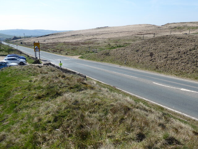
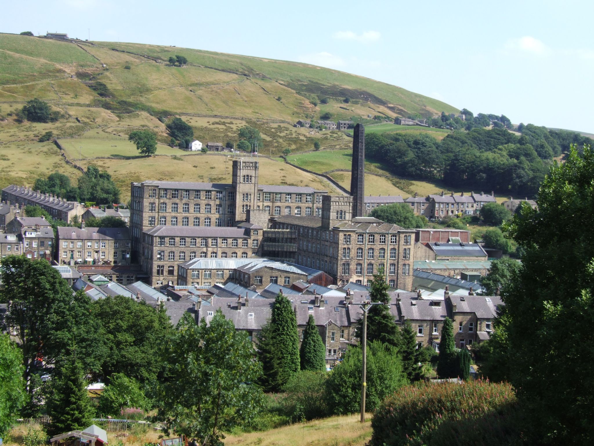
Close Flat is a picturesque area located in Yorkshire, England. It is renowned for its charming landscapes, characterized by rolling hills, serene moorland, and vast expanses of lush green downs. Situated in the heart of Yorkshire, this tranquil region offers visitors a true escape from the bustling city life.
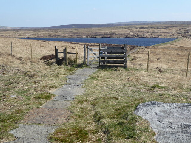
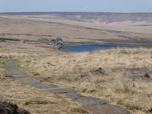
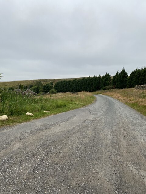
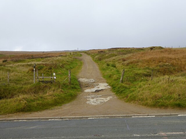
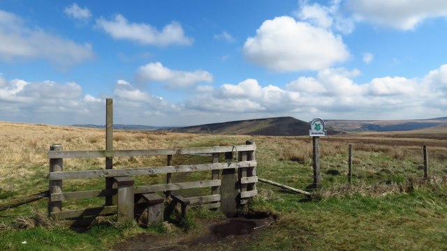
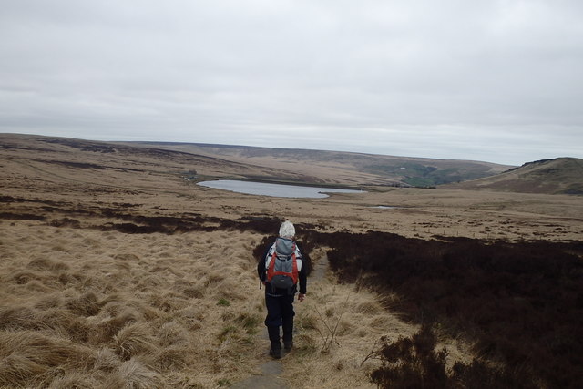
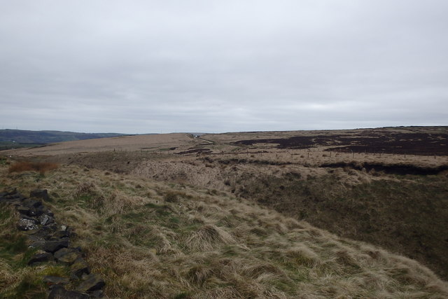
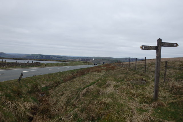
The downs of Close Flat are a sight to behold, with their gentle slopes and velvety grasslands. These open spaces provide a perfect setting for outdoor activities such as picnicking, walking, and even horse riding. The stunning panoramic views from the downs make it an ideal spot for photographers and nature enthusiasts.
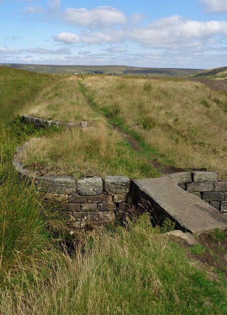
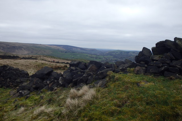
Adding to the beauty of Close Flat is its enchanting moorland. The moors are adorned with vibrant heather, creating a colorful tapestry that stretches as far as the eye can see. This unique ecosystem is home to a variety of wildlife, including birds, rabbits, and even the occasional deer. Exploring the moorland offers visitors a chance to immerse themselves in the tranquility of nature and experience the unspoiled beauty of the Yorkshire countryside.
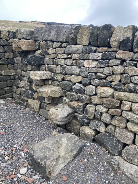
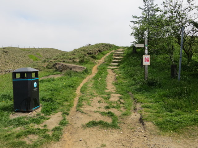
Close Flat is also known for its charming villages and historic landmarks. Tucked away amidst the natural beauty are quaint cottages, traditional pubs, and ancient churches. The local community is friendly and welcoming, offering a warm atmosphere for visitors.
In conclusion, Close Flat, Yorkshire, with its downs, moorland, and charming villages, is a haven for nature lovers and those seeking a peaceful retreat. Its breathtaking landscapes and rich history make it a destination worth exploring for anyone looking to experience the beauty of rural England.
If you have any feedback on the listing, please let us know in the comments section below.
Close Flat Images
Images are sourced within 2km of 53.593519/-1.965681 or Grid Reference SE0210. Thanks to Geograph Open Source API. All images are credited.


Close Flat is located at Grid Ref: SE0210 (Lat: 53.593519, Lng: -1.965681)
Division: West Riding
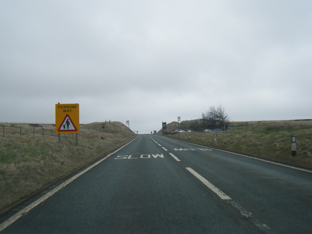
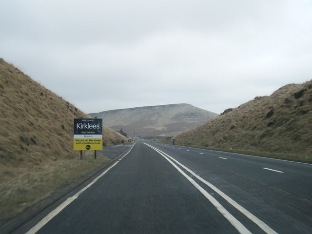
Unitary Authority: Kirklees
Police Authority: West Yorkshire
What 3 Words
///amount.unwraps.forks. Near Marsden, West Yorkshire
Nearby Locations
Related Wikis

Standedge Tunnels
The Standedge Tunnels () are four parallel tunnels through the Pennine hills at the Standedge crossing between Marsden in Kirklees, West Yorkshire and...

Marsden Moor Estate
The Marsden Moor Estate is a large expanse of moorland in the South Pennines, between the conurbations of West Yorkshire and Greater Manchester in the...

Standedge
Standedge () is a moorland escarpment in the Pennine Hills of northern England between Marsden, West Yorkshire and Diggle, Greater Manchester. Standedge...
Bank Bottom Mill
Bank Bottom Mill, later known as Marsden Mill, was from 1824 an important centre for the production of woollen cloth in Marsden, West Yorkshire, England...
Have you been to Close Flat?
Leave your review of Close Flat below (or comments, questions and feedback).