Marsden Moor Estate

Heritage Site in Yorkshire

England

Marsden Moor Estate

The Red Arrows over Round Hill On their way home after performing at an airshow at the Isle of Man
The Red Arrows over Round Hill Credit: Philip Cornwall

Marsden Moor Estate, located in Yorkshire, England, is a vast and mesmerizing landscape that offers visitors a glimpse into the region's rich heritage and natural beauty. Covering an area of about 5,000 acres, this estate is a designated heritage site that is managed by the National Trust.

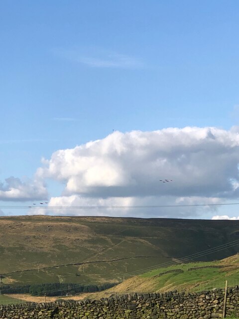
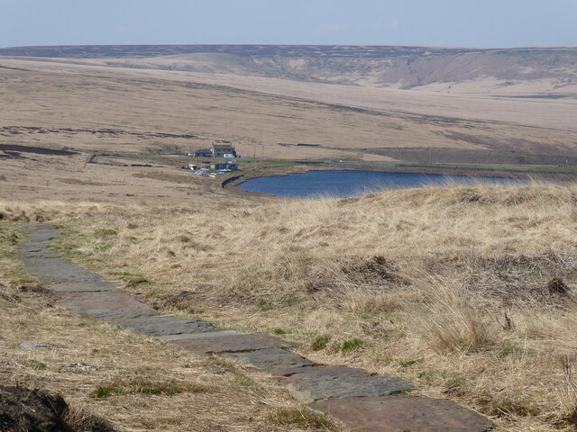
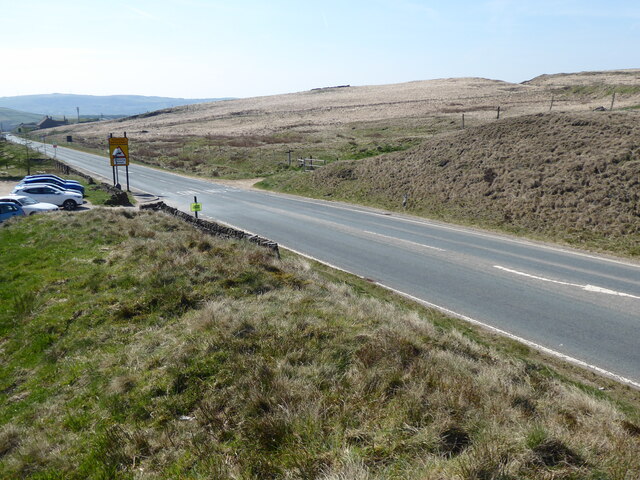
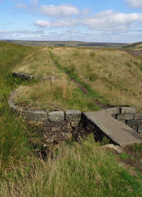
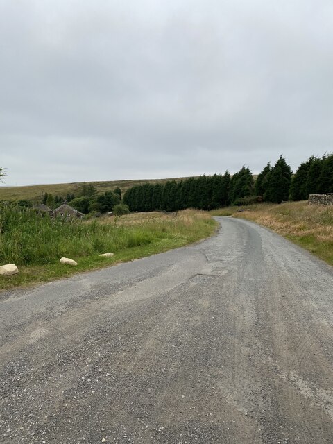
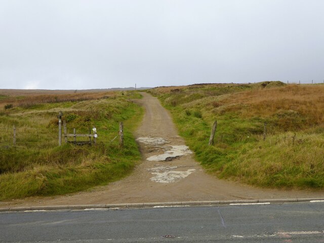
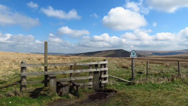
The moorland is characterized by its rugged and untamed terrain, with rolling hills, deep valleys, and expansive heather-covered moors. It is home to a diverse range of plant and animal species, making it a haven for nature enthusiasts and birdwatchers. The moorland is known for its stunning vistas, especially during the flowering season in summer when the heather blooms, transforming the landscape into a vivid purple carpet.

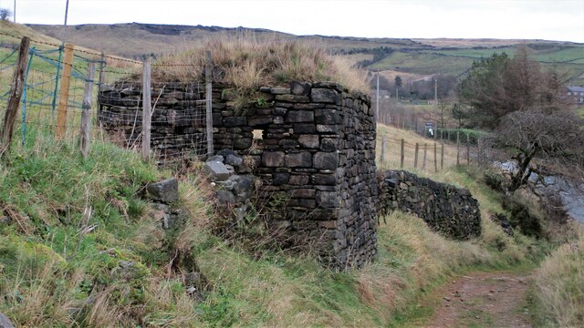
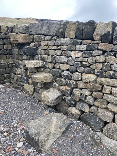
Aside from its natural beauty, Marsden Moor Estate is steeped in history. It boasts evidence of human activity dating back thousands of years, with archaeological sites, such as ancient cairns and stone circles, scattered throughout the area. These remnants of the past provide insights into the lives and cultures of the people who once inhabited the region.

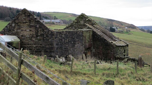
The estate also holds historical significance due to its association with the textile industry. The remains of mills and weavers' cottages can still be seen, serving as a reminder of the area's industrial past. Visitors can explore these remnants and learn about the impact of the textile industry on the local community.

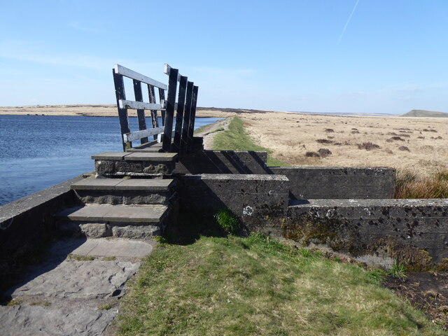
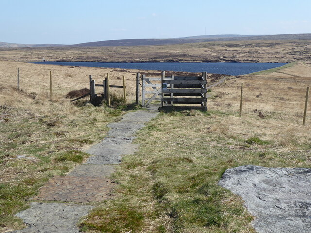
Marsden Moor Estate offers a range of recreational activities for visitors, including hiking, walking, birdwatching, and picnicking. With its unspoiled natural beauty and rich historical heritage, this Yorkshire gem is a must-visit for anyone seeking an immersive experience in the great outdoors.

If you have any feedback on the listing, please let us know in the comments section below.

Marsden Moor Estate Images

Images are sourced within 2km of 53.587/-1.971 or Grid Reference SE0210. Thanks to Geograph Open Source API. All images are credited.

The Red Arrows over Round Hill On their way home after performing at an airshow at the Isle of Man
The Red Arrows over Round Hill
On their way home after performing at an airshow at the Isle of Man
Black Moss Reservoir dam wall
The Pennine Way near Black Moss Reservoir
The Pennine Way near Redbrook Reservoir
The Pennine Way by the A62
Barn at Higher Castleshaw Awaiting renovation?
Barn at Higher Castleshaw
Awaiting renovation?
World War II Pillbox A well disguised strong point overlooking the A62
World War II Pillbox
A well disguised strong point overlooking the A62
Redbrook Reservoir Catchwater  and Path The catchwater and path go into Thieves Clough. The small footbridge crosses an overspill cascade that feeds into Redbrook Clough
Redbrook Reservoir Catchwater and Path
The catchwater and path go into Thieves Clough. The small footbridge crosses an overspill cascade that feeds into Redbrook Clough
Standedge footpath road
Walkers steps on the way to Standedge
Old milestone This rather sad looking West Riding CC milestone is about 100m southwest of Laceby House.   It has lost its backing stone, is very rusty and leaning.   The Wakefield and Austerlands road was a 27 mile long turnpike road which went through Huddersfield to Austerlands on the eastern outskirts of Oldham.
Old milestone
This rather sad looking West Riding CC milestone is about 100m southwest of Laceby House. It has lost its backing stone, is very rusty and leaning. The Wakefield and Austerlands road was a 27 mile long turnpike road which went through Huddersfield to Austerlands on the eastern outskirts of Oldham.
Old milestone This face tells us it is 6½ miles to Oldham.
Old milestone
This face tells us it is 6½ miles to Oldham.
Standedge Foot Road Heading away from the A62 road
Standedge Foot Road
Heading away from the A62 road
Stile on county boundary, Standedge Trail
A62 nearing the junction with the A670
A62 nears the Pennine Way and Standedge Cutting
A62 at Kirklees boundary, in Standedge Cutting
Show me another place!

Marsden Moor Estate is located at Grid Ref: SE0210 (Lat: 53.587, Lng: -1.971)

Division: West Riding

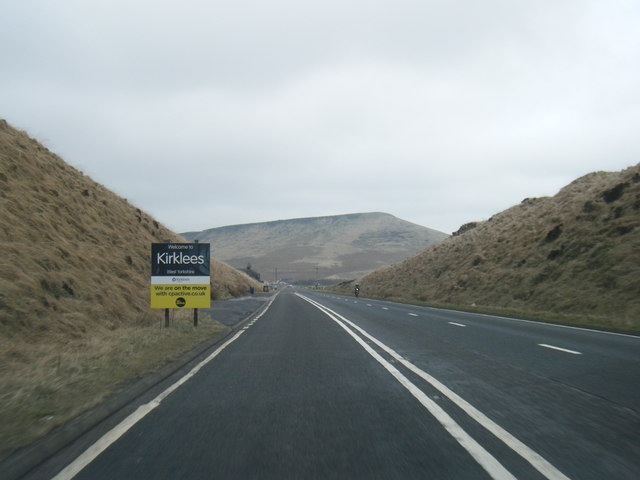
Unitary Authority: Kirklees

Police Authority: West Yorkshire

What 3 Words

///copy.wealth.similar. Near Diggle, Manchester

Related Wikis

Standedge Tunnels

The Standedge Tunnels () are four parallel tunnels through the Pennine hills at the Standedge crossing between Marsden in Kirklees, West Yorkshire and...

Standedge

Standedge () is a moorland escarpment in the Pennine Hills of northern England between Marsden, West Yorkshire and Diggle, Greater Manchester. Standedge...

Marsden Moor Estate

The Marsden Moor Estate is a large expanse of moorland in the South Pennines, between the conurbations of West Yorkshire and Greater Manchester in the...

Castleshaw

Castleshaw is a hamlet in the Saddleworth parish of the Metropolitan Borough of Oldham in Greater Manchester, England. It lies amid the Pennines, 2.4 miles...

Nearby Amenities

Located within 500m of 53.587,-1.971
Barrier: stile
Lat/Long: 53.584355/-1.9664645
Bus Stop
Marsden, Manchester Road / The Great Western PH
Bus: yes
Local Ref: 45019359
Naptan AtcoCode: 450019359
Naptan Bearing: NE
Naptan CommonName: Manchester Road The Great Western
Naptan Indicator: Stop 45019359
Naptan Landmark: The Great Western PH
Naptan ShortCommonName: The Great Western
Naptan Street: Manchester Road
Naptan Verified: no
Network: WY Metro
Operator: WY Metro
Public Transport: platform
Source: naptan_import
Lat/Long: 53.5859119/-1.9642439
Bus Stop
Marsden, Manchester Road / opposite Great Western PH
Bus: yes
Naptan AtcoCode: 450028513
Naptan Bearing: SW
Naptan BusStopType: CUS
Naptan CommonName: Manchester Road Great Western
Naptan Crossing: Great Western
Naptan Landmark: Unknown
Naptan Notes: Dummy stop to support the BD status of An19359
Naptan ShortCommonName: Man Rd opp Gt West
Naptan Street: Manchester Road
Naptan Verified: no
Network: WY Metro
Operator: WY Metro
Public Transport: platform
Source: naptan_import
Lat/Long: 53.585831/-1.9640929
The data included in this document is from www.openstreetmap.org. The data is made available under ODbL.

Have you been to Marsden Moor Estate?

Leave your review of Marsden Moor Estate below (or comments, questions and feedback).