Redbrook Clough

Valley in Yorkshire

England

Redbrook Clough

Redbrook Reservoir Catchwater  and Path The catchwater and path go into Thieves Clough. The small footbridge crosses an overspill cascade that feeds into Redbrook Clough
Redbrook Reservoir Catchwater and Path Credit: Kevin Waterhouse

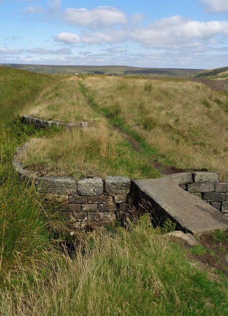
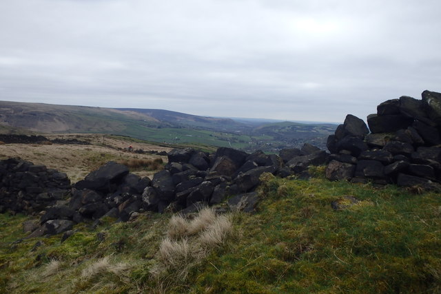
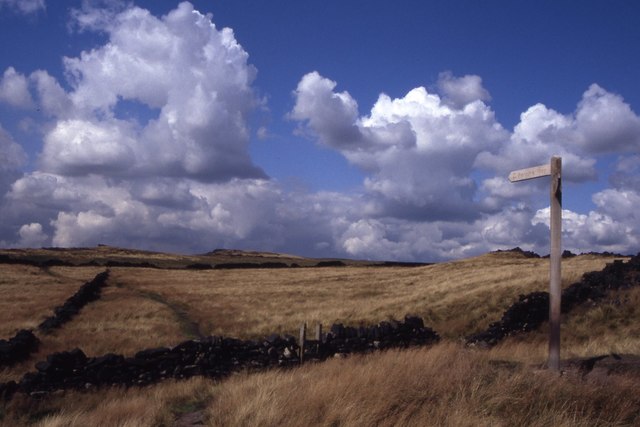
Redbrook Clough is a picturesque valley located in Yorkshire, England. With its stunning natural beauty and diverse wildlife, it has become a popular destination for nature lovers and outdoor enthusiasts.

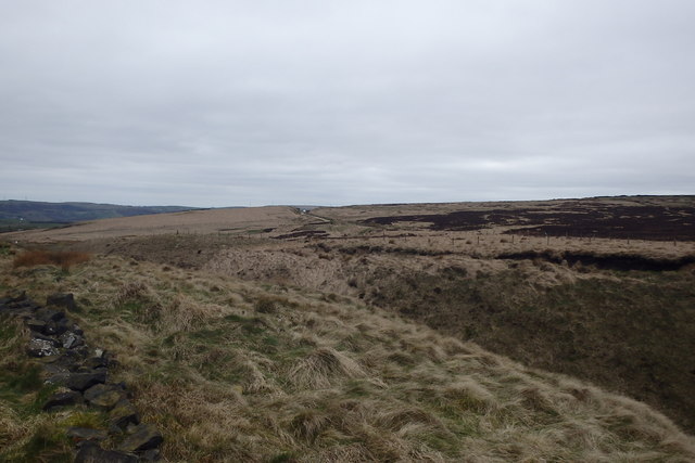
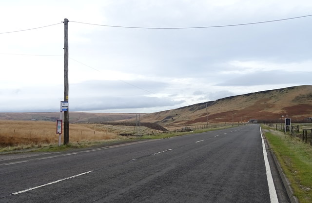
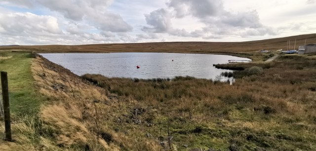
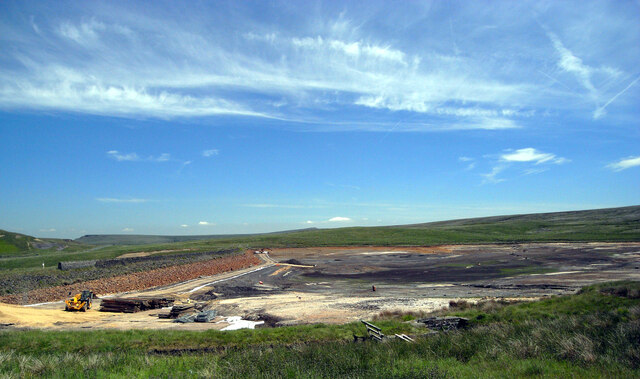
The valley is situated within the Peak District National Park, known for its rugged landscapes and breathtaking scenery. Redbrook Clough is characterized by its steep-sided slopes covered in dense woodland, creating a tranquil and secluded atmosphere. The valley is home to a variety of tree species, including oak, birch, and ash, which provide a vibrant display of colors during the autumn months.

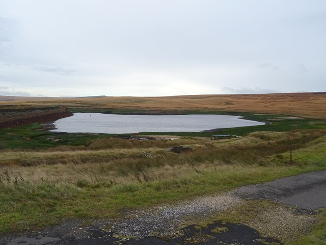
The clough is intersected by a meandering stream, which adds to its charm and creates small cascades and waterfalls along its course. These water features provide a refreshing sight and sound, especially during the rainy seasons when the flow is at its peak.

The area is also rich in wildlife, offering a habitat for numerous species. Birdwatchers can spot a range of birds, such as woodpeckers, owls, and various songbirds. Redbrook Clough is also home to small mammals like foxes, badgers, and squirrels, which can occasionally be spotted by lucky visitors.

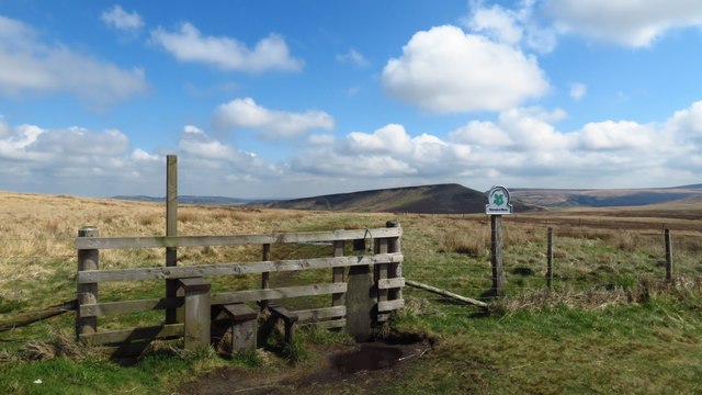
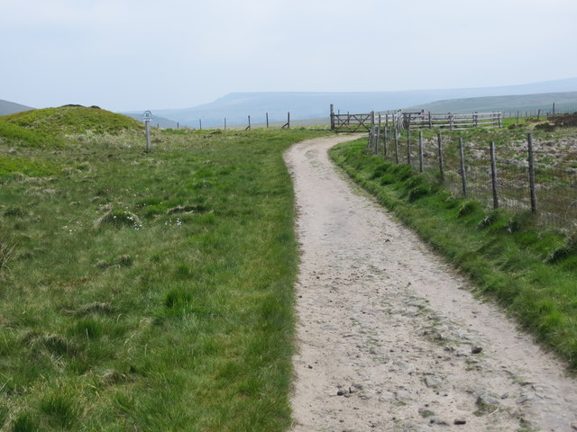
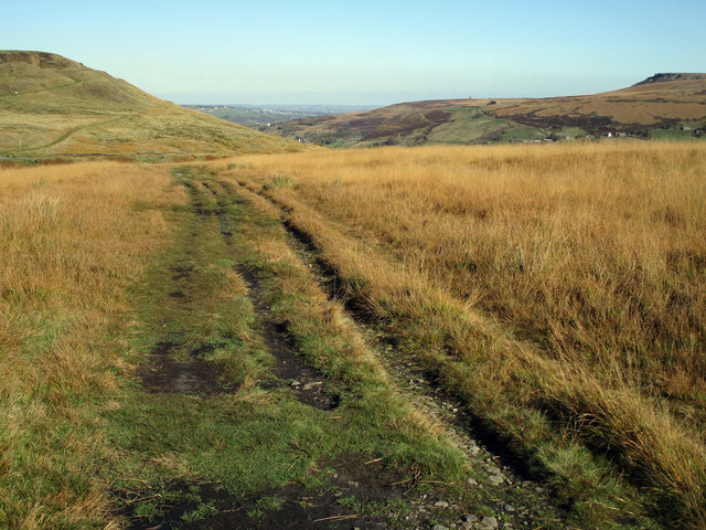
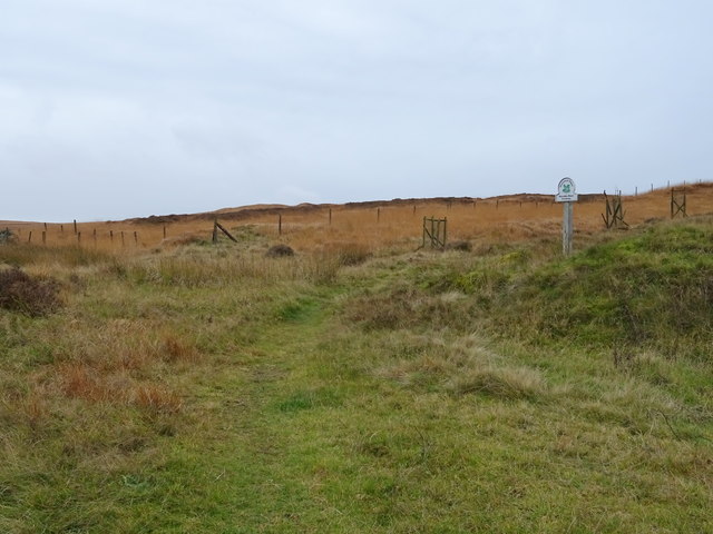
For those who enjoy hiking and exploring, Redbrook Clough offers a network of footpaths and trails that wind through the valley, providing breathtaking views and opportunities to connect with nature. The peaceful ambiance and natural beauty make it an ideal location for a leisurely walk or a picnic amidst the stunning surroundings.

Overall, Redbrook Clough is a hidden gem within the Yorkshire landscape, offering a peaceful escape and a chance to immerse oneself in the beauty of nature.

If you have any feedback on the listing, please let us know in the comments section below.

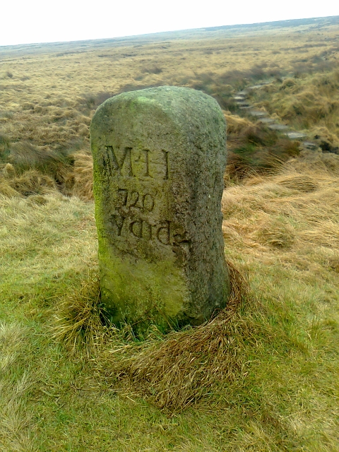
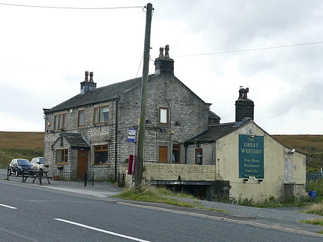
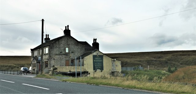
Redbrook Clough Images

Images are sourced within 2km of 53.599477/-1.9605387 or Grid Reference SE0211. Thanks to Geograph Open Source API. All images are credited.

Redbrook Reservoir Catchwater  and Path The catchwater and path go into Thieves Clough. The small footbridge crosses an overspill cascade that feeds into Redbrook Clough
Redbrook Reservoir Catchwater and Path
The catchwater and path go into Thieves Clough. The small footbridge crosses an overspill cascade that feeds into Redbrook Clough
Stile on county boundary, Standedge Trail
A62 at Kirklees boundary, in Standedge Cutting
Above the A62 On the top of the cutting
Above the A62
On the top of the cutting
Old Wall We sheltered from the bitter wind behind the old wall, just off the Pennine Way.
Old Wall
We sheltered from the bitter wind behind the old wall, just off the Pennine Way.
Pennine Way footpath on Marsden Moor Looking eastward. The National Trust sign in the picture indicates the location as Marsden Moor, Standedge.
Pennine Way footpath on Marsden Moor
Looking eastward. The National Trust sign in the picture indicates the location as Marsden Moor, Standedge.
Standedge Trail Footpath across Marsden Moor. The Standedge Trail is a 12-mile circular walk. <span class="nowrap"><a title="https://www.ldwa.org.uk/ldp/members/show_path.php?path_name=Standedge+Trail" rel="nofollow ugc noopener" href="https://www.ldwa.org.uk/ldp/members/show_path.php?path_name=Standedge+Trail">Link</a><img style="margin-left:2px;" alt="External link" title="External link - shift click to open in new window" src="https://s1.geograph.org.uk/img/external.png" width="10" height="10"/></span>
Standedge Trail
Footpath across Marsden Moor. The Standedge Trail is a 12-mile circular walk. LinkExternal link
Path above Redbrook Reservoir National Trust land, Marsden Moor.
Path above Redbrook Reservoir
National Trust land, Marsden Moor.
Entering Kirklees Back in Yorkshire.
Looking north east on the A62 (Manchester Road).
Entering Kirklees
Back in Yorkshire. Looking north east on the A62 (Manchester Road).
The Great Western Inn  On Manchester Road (A62).
The Great Western Inn
On Manchester Road (A62).
Redbrook Reservoir Looking a bit low.
Redbrook Reservoir
Looking a bit low.
Bus stop on Manchester Road (A62) Near the Great Western Inn.
Bus stop on Manchester Road (A62)
Near the Great Western Inn.
Old Guide Stone on Marsden Moor Guide Stone by the track, in parish of Slaithwaite & Marsden (Kirklees District), track from Mount Road, Marsden across Marsden Moor, at junction of paths overlooking Redbrook Reservoir.

Inscription reads:-
M*H
720
Yards

Surveyed

Milestone Society National ID: YW_ZMARS
Old Guide Stone on Marsden Moor
Guide Stone by the track, in parish of Slaithwaite & Marsden (Kirklees District), track from Mount Road, Marsden across Marsden Moor, at junction of paths overlooking Redbrook Reservoir. Inscription reads:- M*H 720 Yards Surveyed Milestone Society National ID: YW_ZMARS
The Great Western This former roadside pub high up on the Marsden Moors closed in 2015 and appears to be being converted to residential use.
The Great Western
This former roadside pub high up on the Marsden Moors closed in 2015 and appears to be being converted to residential use.
Great Western Hotel Sadly no longer active
Great Western Hotel
Sadly no longer active
Redbrook Reservoir, Marsden Originally built to maintain water levels at the highest points of the Huddersfield Narrow Canal in the Standedge Tunnel. Water runs down almost 500 foot which causes a draught which helps ventilate the tunnel - but not enough to permit diesel boats from passing through without electric tugs. 

This must have been one of the highest bodies of water used for sailing in the UK.
Redbrook Reservoir, Marsden
Originally built to maintain water levels at the highest points of the Huddersfield Narrow Canal in the Standedge Tunnel. Water runs down almost 500 foot which causes a draught which helps ventilate the tunnel - but not enough to permit diesel boats from passing through without electric tugs. This must have been one of the highest bodies of water used for sailing in the UK.
The Pennine Way heading towards Standedge
Redbrook Reservoir under repair
Show me another place!

Redbrook Clough is located at Grid Ref: SE0211 (Lat: 53.599477, Lng: -1.9605387)

Division: West Riding

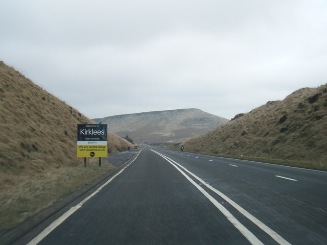
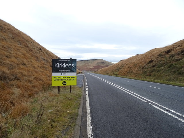
Unitary Authority: Kirklees

Police Authority: West Yorkshire

What 3 Words

///purely.peroxide.pace. Near Marsden, West Yorkshire

Related Wikis

Marsden Moor Estate

The Marsden Moor Estate is a large expanse of moorland in the South Pennines, between the conurbations of West Yorkshire and Greater Manchester in the...

Standedge Tunnels

The Standedge Tunnels () are four parallel tunnels through the Pennine hills at the Standedge crossing between Marsden in Kirklees, West Yorkshire and...

Standedge

Standedge () is a moorland escarpment in the Pennine Hills of northern England between Marsden, West Yorkshire and Diggle, Greater Manchester. Standedge...

Marsden railway station

Marsden railway station serves the village of Marsden near Huddersfield in West Yorkshire, England. The station is on the Huddersfield Line, operated by...

Related Videos

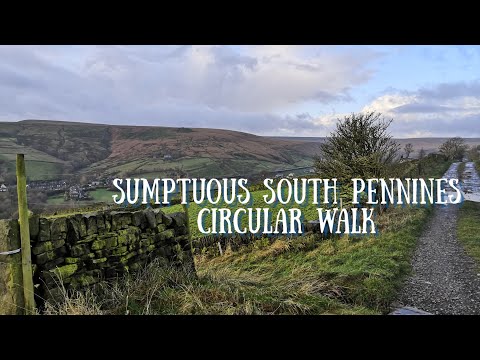
Marsden Moor & Pule Hill- Yorkshire Walks 😊

In this video, we take you to Marsden Moor and take on the Pule Hill circular walk! Marsden Moor is just half an hour from ...

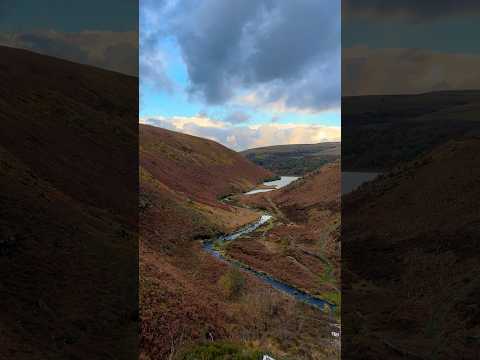
Marsden and March Haigh Reservoir, South Pennines Circular Hiking Routes | Purely Perfect Peaks

Today's video takes us to the sumptuous hills of the South Pennines. Dave has previously visited this great circular before on a ...

Hiking in the Peak District, Marsden Moor

Hiking in Marsden Moor, with the drone. Walking in the Peak district #drone #dronephotography #hiking #walking #outdoors ...

Nearby Amenities

Located within 500m of 53.599477,-1.9605387
Parking
Parking: street_side
Lat/Long: 53.5958677/-1.9576353
Bus Stop
Marsden, Manchester Road / at Owlers Farm
Bus: yes
Local Ref: 45019361
Naptan AtcoCode: 450019361
Naptan Bearing: N
Naptan CommonName: Manchester Road Owlers Farm
Naptan Crossing: Owlers Farm
Naptan Indicator: Stop 45019361
Naptan Landmark: Coach & Horses Hotel
Naptan PlusbusZoneRef: LEEDS
Naptan ShortCommonName: Man Rd Marsden
Naptan Street: Manchester Road
Naptan Verified: no
Network: WY Metro
Operator: WY Metro
Public Transport: platform
Source: naptan_import
Lat/Long: 53.6000307/-1.9574621
Bus Stop
Marsden, Manchester Road / opposite Owlers Farm
Bus: yes
Local Ref: 45050812
Naptan AtcoCode: 450050812
Naptan Bearing: S
Naptan BusStopType: CUS
Naptan CommonName: Manchester Road Rawson Centre
Naptan Indicator: Stop 45050812
Naptan PlusbusZoneRef: LEEDS
Naptan ShortCommonName: Owlers Farm
Naptan Street: Manchester Road
Naptan Verified: no
Network: WY Metro
Operator: WY Metro
Public Transport: platform
Source: naptan_import
Lat/Long: 53.6002564/-1.95718
Note: The wall continues
Lat/Long: 53.6018088/-1.9599733
Generator Method: wind_turbine
Generator Source: wind
Power: generator
Lat/Long: 53.6024498/-1.9566329
Material: wood
Power: pole
Lat/Long: 53.6027499/-1.9564491
Material: wood
Power: pole
Lat/Long: 53.6030952/-1.9560589
Line Management: transition
Location: pole
Material: wood
Power: pole
Transformer: distribution
Lat/Long: 53.6015166/-1.9569702
Material: wood
Power: pole
Lat/Long: 53.6005546/-1.9570362
Material: wood
Power: pole
Transformer: distribution
Lat/Long: 53.5999829/-1.9570369
Material: wood
Power: pole
Lat/Long: 53.5994535/-1.9569389
Material: wood
Power: pole
Lat/Long: 53.598749/-1.9568252
Material: wood
Power: pole
Lat/Long: 53.5982696/-1.9567836
Material: wood
Power: pole
Lat/Long: 53.5975313/-1.9566189
Material: wood
Power: pole
Lat/Long: 53.5968618/-1.9564949
Material: wood
Power: pole
Lat/Long: 53.5959811/-1.9563526
The data included in this document is from www.openstreetmap.org. The data is made available under ODbL.

Have you been to Redbrook Clough?

Leave your review of Redbrook Clough below (or comments, questions and feedback).