Horsecombe Bottom

Valley in Wiltshire

England

Horsecombe Bottom

North Down, Wiltshire A long arm spreader on North Down.
North Down, Wiltshire Credit: Rebecca A Wills

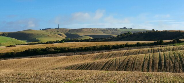
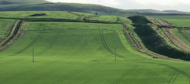
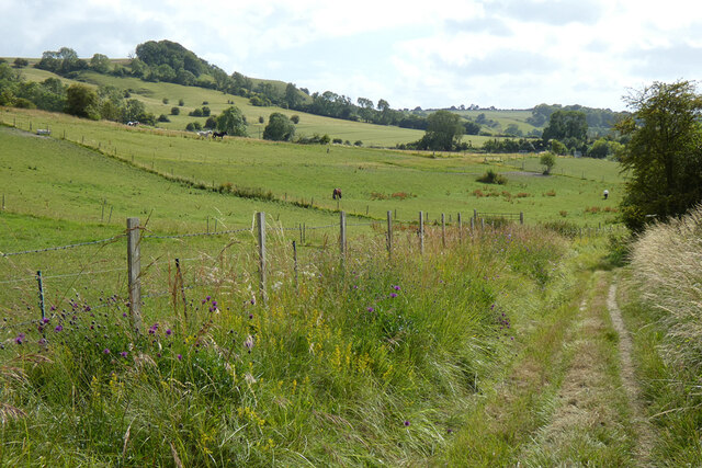
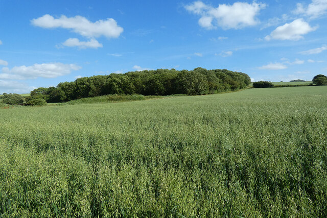
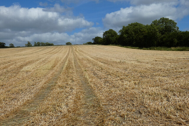
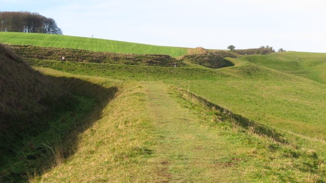
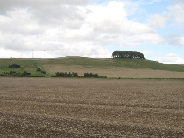
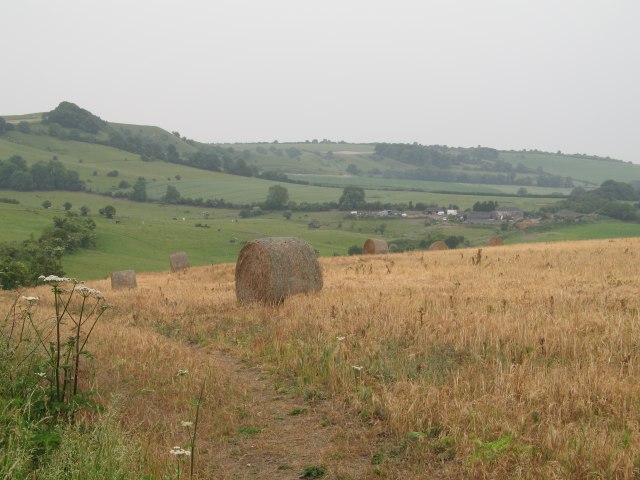
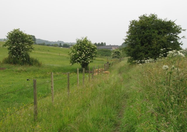
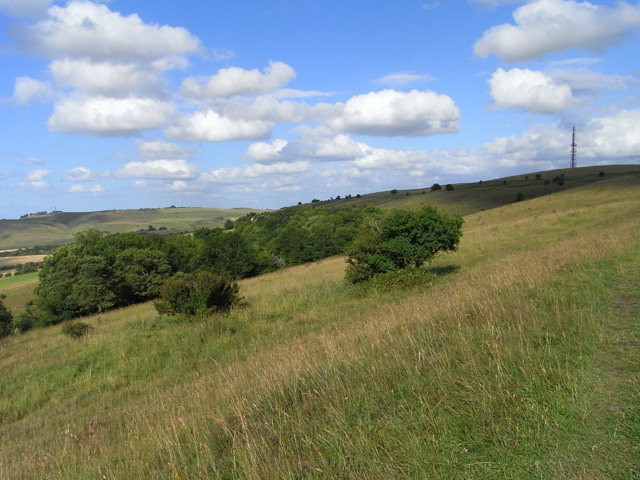
Horsecombe Bottom is a picturesque valley located in the county of Wiltshire, England. Situated near the village of Broad Chalke, it is a popular destination for nature lovers and outdoor enthusiasts. The valley is characterized by its rolling hills, lush green meadows, and babbling brooks, making it a tranquil and idyllic spot.

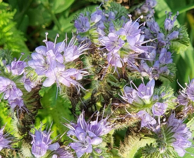
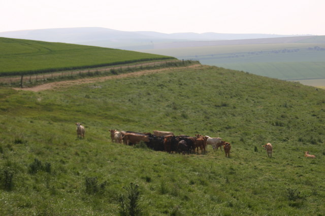
The area is known for its rich biodiversity and is a designated Site of Special Scientific Interest. Horsecombe Bottom is home to a variety of plant and animal species, including rare orchids, wildflowers, and butterflies. The valley's diverse habitats, such as woodland, grassland, and wetlands, provide a haven for wildlife.

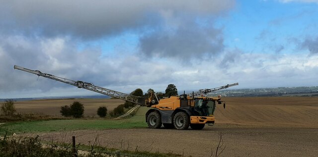
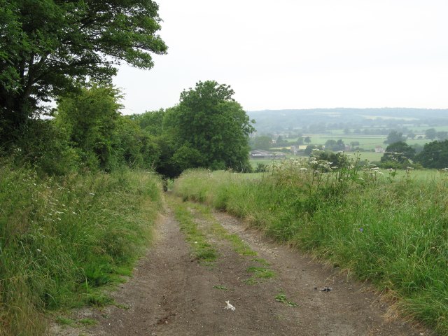
Visitors to Horsecombe Bottom can enjoy a range of activities. There are numerous walking and hiking trails that offer stunning views of the surrounding countryside. The valley is also a great place for birdwatching, with several species of birds, including buzzards and skylarks, known to frequent the area.

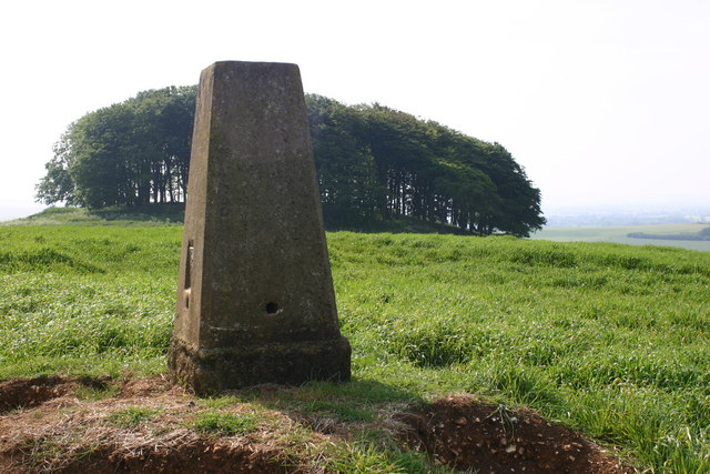
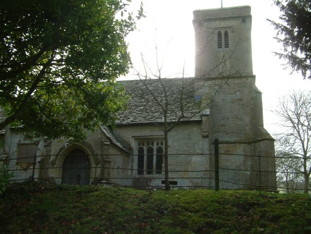
In addition to its natural beauty, Horsecombe Bottom has historical significance. The valley has evidence of prehistoric settlements, including burial mounds and earthworks, which indicate human activity in the area dating back thousands of years.

Overall, Horsecombe Bottom is a hidden gem in Wiltshire, offering a peaceful escape from the hustle and bustle of everyday life. Whether it's exploring the natural wonders, observing wildlife, or delving into its rich history, visitors are sure to find something captivating in this beautiful valley.

If you have any feedback on the listing, please let us know in the comments section below.

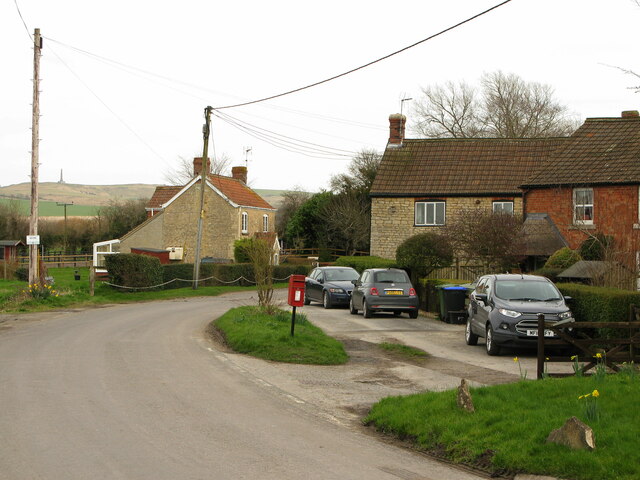
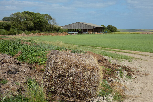
Horsecombe Bottom Images

Images are sourced within 2km of 51.406889/-1.9627436 or Grid Reference SU0267. Thanks to Geograph Open Source API. All images are credited.

North Down, Wiltshire A long arm spreader on North Down.
North Down, Wiltshire
A long arm spreader on North Down.
Horsecombe Bottom, Wiltshire Looking over farmland on Horsecombe Bottom. The Cherhill Monument can be seen on the horizon.
Horsecombe Bottom, Wiltshire
Looking over farmland on Horsecombe Bottom. The Cherhill Monument can be seen on the horizon.
Bishop's Cannings Down, Wiltshire Farmland in the vicinity of Baltic Farm on Bishop's Cannings Down. The Wansdyke (an ancient ditch system) can be seen to the right of the image.
Bishop's Cannings Down, Wiltshire
Farmland in the vicinity of Baltic Farm on Bishop's Cannings Down. The Wansdyke (an ancient ditch system) can be seen to the right of the image.
Biship's Cannings Down, Wiltshire It is unusual to see Scorpionweed in flower at this time of year.
Biship's Cannings Down, Wiltshire
It is unusual to see Scorpionweed in flower at this time of year.
Blacklands crossroads, Calne Without, Wiltshire Houses near Blacklands (or Blackland) crossroads, on the minor road towards Calstone Wellington. Lansdowne Monument on the hilltop.
Blacklands crossroads, Calne Without, Wiltshire
Houses near Blacklands (or Blackland) crossroads, on the minor road towards Calstone Wellington. Lansdowne Monument on the hilltop.
Barn and farmland, Heddington An empty cattle shed seen from the road approaching from the west.
Barn and farmland, Heddington
An empty cattle shed seen from the road approaching from the west.
Bridleway and pasture, Heddington King's Play Hill is seen to the left from the bridleway above Hampsley Hollow.
Bridleway and pasture, Heddington
King's Play Hill is seen to the left from the bridleway above Hampsley Hollow.
Farmland, Calne Without Oats and the north-western corner of Blackland Wood.
Farmland, Calne Without
Oats and the north-western corner of Blackland Wood.
Farmland, Calne Without It appears that a crop of rye had been harvested here, probably the whole crop for silage, as it would have been a bit to early for combining.
Farmland, Calne Without
It appears that a crop of rye had been harvested here, probably the whole crop for silage, as it would have been a bit to early for combining.
Wansdyke on the eastern slope of Morgan's Hill
Morgan's Hill from Wessex Ridgeway Morgan's Hill and intervening fields.  The ridgeway is also visible climbing the hill towards the antennae (located in <a href="https://www.geograph.org.uk/gridref/SU0367">SU0367</a>) to the left of which is the golf course.  Furze Knoll in <a href="https://www.geograph.org.uk/gridref/SU0366">SU0366</a> can also be seen on the skyline.
Morgan's Hill from Wessex Ridgeway
Morgan's Hill and intervening fields. The ridgeway is also visible climbing the hill towards the antennae (located in SU0367) to the left of which is the golf course. Furze Knoll in SU0366 can also be seen on the skyline.
Church of St. Mary, Calstone Often referred to as 'The Church in the Downs'
Church of St. Mary, Calstone
Often referred to as 'The Church in the Downs'
Theobald's Green The green, a Standing stone, and perhaps a church now converted to a house.
Theobald's Green
The green, a Standing stone, and perhaps a church now converted to a house.
Morgans Hill trig
Morgans Hill trig
Cattle in morning heat on Morgans Hill
Bridleway east of Stockley
Hayfield with view of Kings Play Hill Towards the upper left of the image is Kings Play Hill.  Towards the mid-right is Hampsley Hollow <a href="https://www.geograph.org.uk/gridref/SU0066">SU0066</a>
Hayfield with view of Kings Play Hill
Towards the upper left of the image is Kings Play Hill. Towards the mid-right is Hampsley Hollow SU0066
Bridleway near Hampsley Hollow
Show me another place!

Horsecombe Bottom is located at Grid Ref: SU0267 (Lat: 51.406889, Lng: -1.9627436)

Unitary Authority: Wiltshire

Police Authority: Wiltshire

What 3 Words

///formed.bulbs.adopts. Near Calne, Wiltshire

Nearby Locations

Horsecombe Bottom

Related Wikis

Morgan's Hill

Morgan's Hill (grid reference SU028672) is a 12.6-hectare (31-acre) biological Site of Special Scientific Interest between Calne and Devizes in Wiltshire...

Calstone Wellington

Calstone Wellington is a small village and former parish in Wiltshire, England, about 2.5 miles (4 km) south-east of Calne and now part of the civil parish...

Morgan's Hill Enclosure

Morgan's Hill Enclosure is an archaeological site in Wiltshire, England, on Morgan's Hill south-east of Calne, about 130 metres (430 ft) north of the Wansdyke...

Calstone

Calstone is a former tithing and manor in Wiltshire, England, lying southeast of Calne and adjacent to Calstone Wellington. The area was almost certainly...

Nearby Amenities

Located within 500m of 51.406889,-1.9627436
Archaeological Site: tumulus
Historic: archaeological_site
Lat/Long: 51.4032022/-1.9633967
The data included in this document is from www.openstreetmap.org. The data is made available under ODbL.

Have you been to Horsecombe Bottom?

Leave your review of Horsecombe Bottom below (or comments, questions and feedback).