Fulshaw Clough

Valley in Yorkshire

England

Fulshaw Clough

The Rocking Stone, Warley Moor I think the rocking stone was probably the perched rock on the left, which appears to have slipped off its perch, perhaps whilst being rocked rather vigorously.  This is a revisit to the first geograph for the square <a href="https://www.geograph.org.uk/photo/33722">SE0330 : Rocking Stone, Warley Moor</a>, taken in August 2005.
The Rocking Stone, Warley Moor Credit: Humphrey Bolton

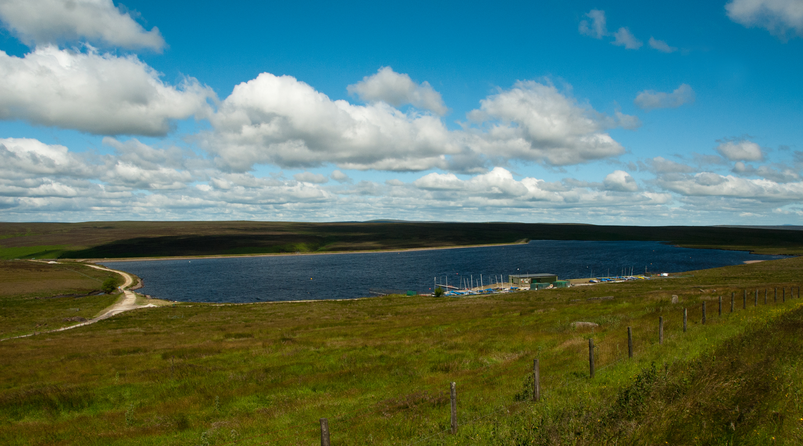
Fulshaw Clough is a picturesque valley located in the county of Yorkshire, England. Nestled in the heart of the countryside, it is situated within the larger district of Cheshire East, near the town of Wilmslow. The valley is known for its stunning natural beauty, with rolling hills, lush greenery, and a meandering river that flows through the heart of the landscape.

Covering an area of approximately 5 square miles, Fulshaw Clough is home to a diverse range of flora and fauna. The valley is dotted with ancient woodlands, providing a habitat for various species of birds, mammals, and plants. Visitors can expect to spot common woodland creatures such as deer, foxes, and squirrels, as well as a variety of bird species including owls, woodpeckers, and songbirds.

The river that runs through Fulshaw Clough adds to the charm of the landscape, creating a tranquil setting for visitors to enjoy. Its clear waters are home to small fish and insects, and it serves as a watering hole for local wildlife.

Fulshaw Clough offers a multitude of recreational activities for nature enthusiasts. There are several hiking trails that wind through the valley, providing opportunities for visitors to explore the natural beauty on foot. Additionally, the valley is a popular spot for birdwatching, photography, and simply enjoying the peaceful surroundings.

Overall, Fulshaw Clough is a hidden gem within the Yorkshire countryside, offering a peaceful retreat for nature lovers and an opportunity to immerse oneself in the beauty of the natural world.

If you have any feedback on the listing, please let us know in the comments section below.

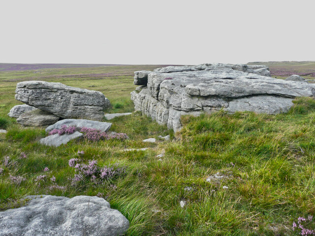
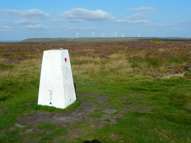
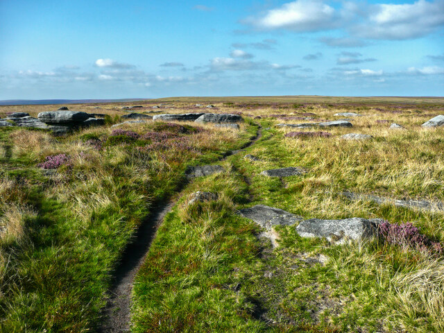
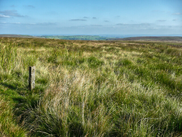
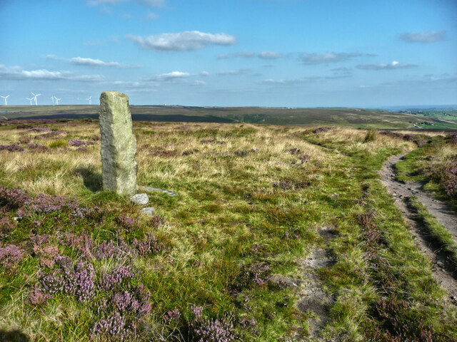
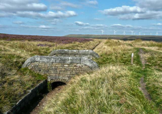
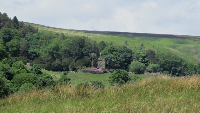
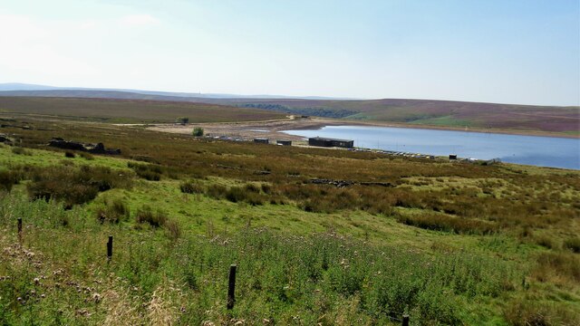
Fulshaw Clough Images

Images are sourced within 2km of 53.767025/-1.9607772 or Grid Reference SE0230. Thanks to Geograph Open Source API. All images are credited.

The Rocking Stone, Warley Moor I think the rocking stone was probably the perched rock on the left, which appears to have slipped off its perch, perhaps whilst being rocked rather vigorously.  This is a revisit to the first geograph for the square <a href="https://www.geograph.org.uk/photo/33722">SE0330 : Rocking Stone, Warley Moor</a>, taken in August 2005.
The Rocking Stone, Warley Moor
I think the rocking stone was probably the perched rock on the left, which appears to have slipped off its perch, perhaps whilst being rocked rather vigorously. This is a revisit to the first geograph for the square SE0330 : Rocking Stone, Warley Moor, taken in August 2005.
A small potential rocking stone, Warley Moor I was disappointed when I stood on it and it failed to rock.
A small potential rocking stone, Warley Moor
I was disappointed when I stood on it and it failed to rock.
Footpath to Cold Edge Road, passing Slade The path crosses a stream that feeds Haigh Cote Dam and a boggy area. Fortunately the CROWS volunteers (Calderdale Rights of Way Service) have provided a boardwalk.
Footpath to Cold Edge Road, passing Slade
The path crosses a stream that feeds Haigh Cote Dam and a boggy area. Fortunately the CROWS volunteers (Calderdale Rights of Way Service) have provided a boardwalk.
Footpath from Slade to Haigh Cote, Cold Edge Better described as a right-of-way as there is no path, just an endless obstacle course of tussocky grass and rushes. The sheep had no difficulty traversing it, and looked round at me wondering why I was so slow.
Footpath from Slade to Haigh Cote, Cold Edge
Better described as a right-of-way as there is no path, just an endless obstacle course of tussocky grass and rushes. The sheep had no difficulty traversing it, and looked round at me wondering why I was so slow.
Footpath across a valley near Cold Edge The path, nominally alongside the wall, crosses a little stream that feeds Spring Dam. The path is not as bad as it looks.
Footpath across a valley near Cold Edge
The path, nominally alongside the wall, crosses a little stream that feeds Spring Dam. The path is not as bad as it looks.
Ruined barn at Moorlands Farm, Cold Edge The farm is captioned 'Withins Gate' on the 1894 1:2500 map.
Ruined barn at Moorlands Farm, Cold Edge
The farm is captioned 'Withins Gate' on the 1894 1:2500 map.
View over Moorlands Farm (formerly Withins Gate) Haigh Cote Dam is in the distance. This is a revisit to the first geograph for the square <a href="https://www.geograph.org.uk/photo/27643">SE0430 : Moorlands Farm and Haigh Cote</a>, which was taken in July 2005. The farmhouse has been partly restored, with a new roof. A track has been made straight down the hillside, presumably to encourage bridleway users to bypass the farm.
View over Moorlands Farm (formerly Withins Gate)
Haigh Cote Dam is in the distance. This is a revisit to the first geograph for the square SE0430 : Moorlands Farm and Haigh Cote, which was taken in July 2005. The farmhouse has been partly restored, with a new roof. A track has been made straight down the hillside, presumably to encourage bridleway users to bypass the farm.
Triangulation pillar on High Brown Knoll, Wadsworth The pillar has had a new coat of paint and been given a simple decoration - a red heart. The wind farm on Ovenden Moor is in the distance.
Triangulation pillar on High Brown Knoll, Wadsworth
The pillar has had a new coat of paint and been given a simple decoration - a red heart. The wind farm on Ovenden Moor is in the distance.
Rocks on the summit of High Brown Knoll, Wadsworth It is difficult to decide exactly where the summit is, but the top of the large rock on the left is a likely contender.  This rock looks huge from the triangulation pillar. This is on the present route of Limers Gate; the bridleway, which is now an indistinct narrow path marked by waymark posts, meets it a little way to the north.
Rocks on the summit of High Brown Knoll, Wadsworth
It is difficult to decide exactly where the summit is, but the top of the large rock on the left is a likely contender. This rock looks huge from the triangulation pillar. This is on the present route of Limers Gate; the bridleway, which is now an indistinct narrow path marked by waymark posts, meets it a little way to the north.
Waymark post on the Limers Gate bridleway, Wadsworth This is one of a series of posts on the route of the bridleway, which is now an indistinct path as the main track is now via Wadsworth Lowe (boundary stone) and the triangulation pillar.
Waymark post on the Limers Gate bridleway, Wadsworth
This is one of a series of posts on the route of the bridleway, which is now an indistinct path as the main track is now via Wadsworth Lowe (boundary stone) and the triangulation pillar.
Wadsworth Lowe This standing stone is on the boundary between Wadsworth and Midgley, and is on the present main route of Limers Gate, an old packhorse track, which forks right here. The path to the left is shown on the 1:25000 map as going ENE to the catchment drain.
Wadsworth Lowe
This standing stone is on the boundary between Wadsworth and Midgley, and is on the present main route of Limers Gate, an old packhorse track, which forks right here. The path to the left is shown on the 1:25000 map as going ENE to the catchment drain.
Footbridge over a catchment drain, Midgley This is near the head of the drain, which feeds Warley Moor Reservoir. There is a path along the eastern bank of the drain, and according to the 1:25000 map one parallel to the western bank.
Footbridge over a catchment drain, Midgley
This is near the head of the drain, which feeds Warley Moor Reservoir. There is a path along the eastern bank of the drain, and according to the 1:25000 map one parallel to the western bank.
Dogs' Grave at Withens May not be visible now that Withens is no longer a Public House
Dogs' Grave at Withens
May not be visible now that Withens is no longer a Public House
Castle Carr Estate remains The gatehouse tower is in the centre of this view from the path between the two lodges to the estate. The estate is in Luddenden Dean
Castle Carr Estate remains
The gatehouse tower is in the centre of this view from the path between the two lodges to the estate. The estate is in Luddenden Dean
View to The Withins The Withins is a former moorland public house and is in the centre of the skyline.
The water is Haigh Cote Dam
View to The Withins
The Withins is a former moorland public house and is in the centre of the skyline. The water is Haigh Cote Dam
Warley Moor Reservoir View from Cold Edge Road
Warley Moor Reservoir
View from Cold Edge Road
Rock outcrops at Rocking Stone Flat, Warley Moor
Withens Head Farm
Withens Head Farm
Show me another place!

Fulshaw Clough is located at Grid Ref: SE0230 (Lat: 53.767025, Lng: -1.9607772)

Division: West Riding

Unitary Authority: Calderdale

Police Authority: West Yorkshire

What 3 Words

///dignify.creamed.signified. Near Queensbury, West Yorkshire

Related Wikis

Warley Moor Reservoir

Warley Moor Reservoir, also known as Fly Flatts Reservoir, is a drinking water reservoir in West Yorkshire, England, owned and operated by Yorkshire Water...

Ovenden Moor Wind Farm

Ovenden Moor Wind Farm is a wind powered electricity generating site in England. Ovenden Moor is located north of Halifax and west of Bradford in West...

Wainstalls

Wainstalls is a village near Halifax, in the Calderdale district of West Yorkshire, England. The area is rural and much of the area is farmland. Wainstalls...

Chiserley

Chiserley is a hamlet located on a hilltop near the town of Hebden Bridge, in the county of West Yorkshire, England. The Hamlet falls within the Calder...

Wainsgate Baptist Church

Wainsgate Baptist Church is a redundant chapel standing in an elevated position above the town of Hebden Bridge, West Yorkshire, England (grid reference...

Wadsworth, West Yorkshire

Wadsworth is a civil parish in the Metropolitan Borough of Calderdale in West Yorkshire, England. It has a population of 1,456, increasing to 1,603 at...

Old Town, West Yorkshire

Old Town is a village in Calderdale, West Yorkshire, England. It is situated on a hilltop above Hebden Bridge and across the Hebden valley from Heptonstall...

Midgley

Midgley () is a hill-top village in Calderdale, West Yorkshire, England. It is situated approximately 12 miles (20 km) east from Burnley and 4 miles (6...

Nearby Amenities

Located within 500m of 53.767025,-1.9607772
Fountain
Castle Carr Fountain
Height: 30
Lat/Long: 53.7664611/-1.9655903
The data included in this document is from www.openstreetmap.org. The data is made available under ODbL.

Have you been to Fulshaw Clough?

Leave your review of Fulshaw Clough below (or comments, questions and feedback).