Long Clough
Valley in Yorkshire
England
Long Clough
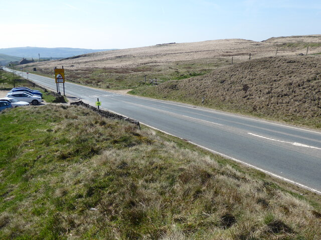
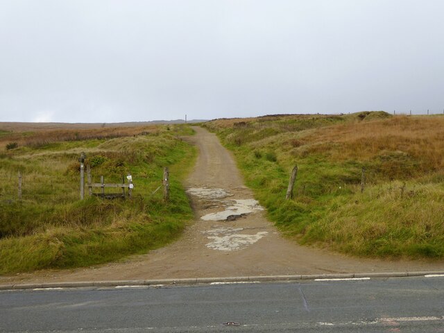
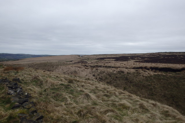
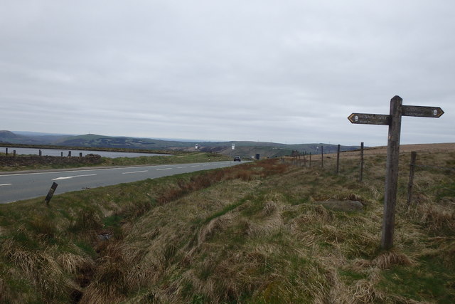
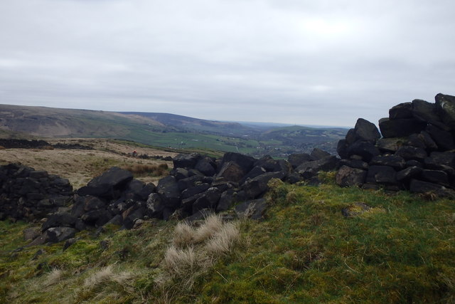
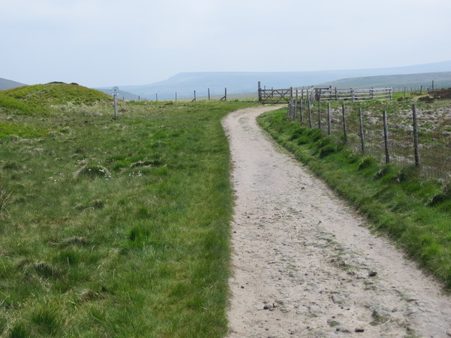
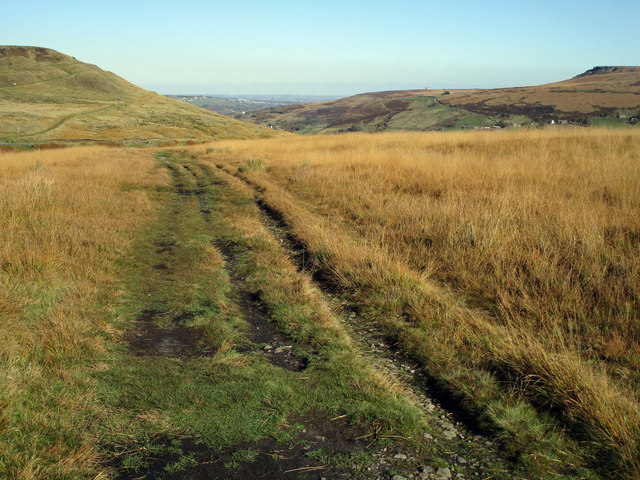
Long Clough is a picturesque valley located in the heart of Yorkshire, England. Nestled between the rolling hills and rugged moorland, it stretches for approximately five miles, making it a popular destination for nature lovers and hikers alike.
The valley is characterized by its stunning natural beauty, with its steep sides covered in lush green vegetation and dotted with ancient trees. A small stream meanders through the valley, adding to its charm and providing a peaceful soundtrack for visitors. This stream is known to be a habitat for various species of fish, including trout, making it a popular spot for anglers.
Long Clough is home to a diverse range of wildlife, including numerous bird species, such as peregrine falcons and kestrels, which can often be spotted soaring high above the valley. It is also known for its rich flora, with an abundance of wildflowers and ferns adding vibrant colors to the landscape.
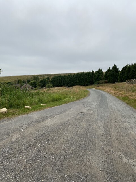
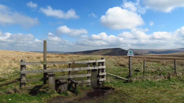
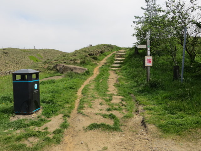
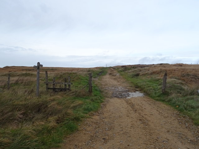
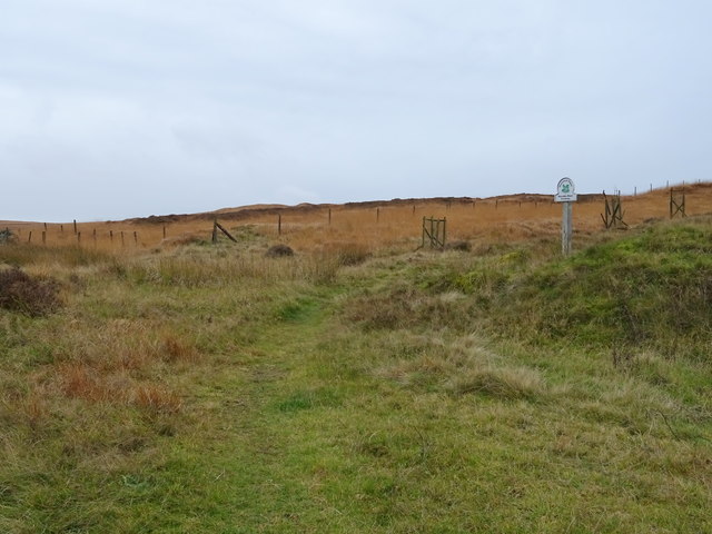
For those seeking outdoor adventures, Long Clough offers a network of walking trails, ranging from gentle strolls to more challenging hikes. These paths provide breathtaking views of the surrounding countryside, with panoramic vistas of the Yorkshire Dales and the Pennines.
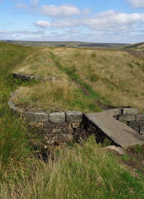
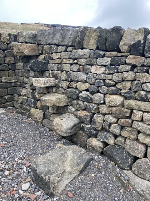
In addition to its natural beauty, Long Clough has historical significance, with remnants of old mill buildings and stone bridges scattered throughout the valley, providing a glimpse into its industrial past.
Overall, Long Clough is a hidden gem in Yorkshire, offering a tranquil and idyllic escape for those seeking to immerse themselves in nature's beauty.
If you have any feedback on the listing, please let us know in the comments section below.
Long Clough Images
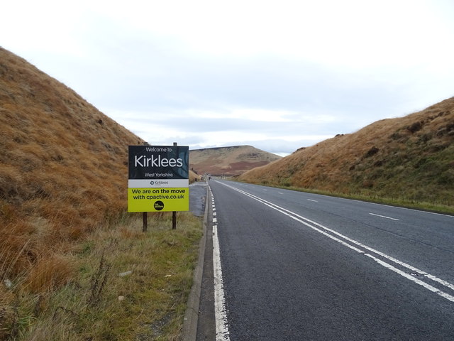
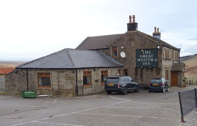
Images are sourced within 2km of 53.597448/-1.9678234 or Grid Reference SE0211. Thanks to Geograph Open Source API. All images are credited.
Long Clough is located at Grid Ref: SE0211 (Lat: 53.597448, Lng: -1.9678234)
Division: West Riding
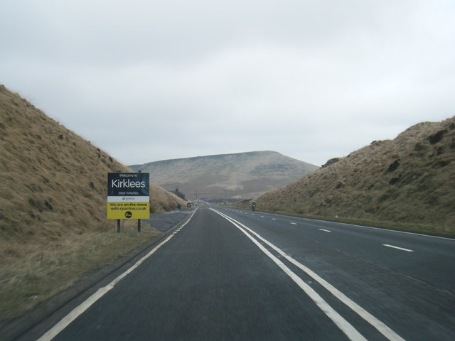
Unitary Authority: Kirklees
Police Authority: West Yorkshire
What 3 Words
///brimmed.moisture.slanting. Near Marsden, West Yorkshire
Nearby Locations
Related Wikis

Marsden Moor Estate
The Marsden Moor Estate is a large expanse of moorland in the South Pennines, between the conurbations of West Yorkshire and Greater Manchester in the...

Standedge Tunnels
The Standedge Tunnels () are four parallel tunnels through the Pennine hills at the Standedge crossing between Marsden in Kirklees, West Yorkshire and...

Standedge
Standedge () is a moorland escarpment in the Pennine Hills of northern England between Marsden, West Yorkshire and Diggle, Greater Manchester. Standedge...

Marsden railway station
Marsden railway station serves the village of Marsden near Huddersfield in West Yorkshire, England. The station is on the Huddersfield Line, operated by...
Have you been to Long Clough?
Leave your review of Long Clough below (or comments, questions and feedback).