Hermitage Bottom
Valley in Gloucestershire Cotswold
England
Hermitage Bottom
Hermitage Bottom is a picturesque valley located in Gloucestershire, England. Nestled in the heart of the Cotswolds, this idyllic landscape is renowned for its natural beauty and tranquil atmosphere. The valley is situated near the village of Painswick, just a short drive away from the bustling city of Gloucester.
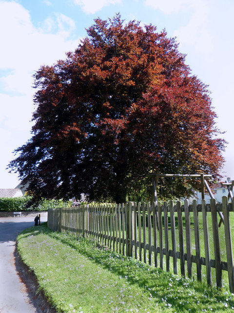
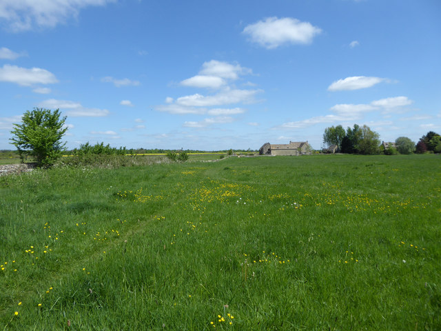
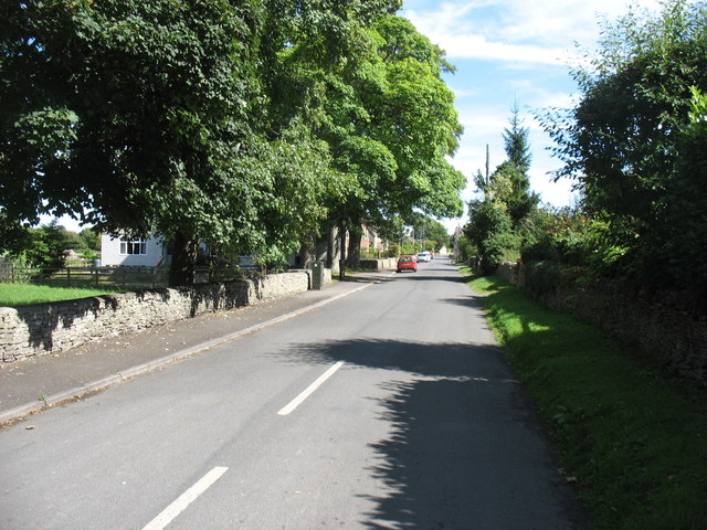
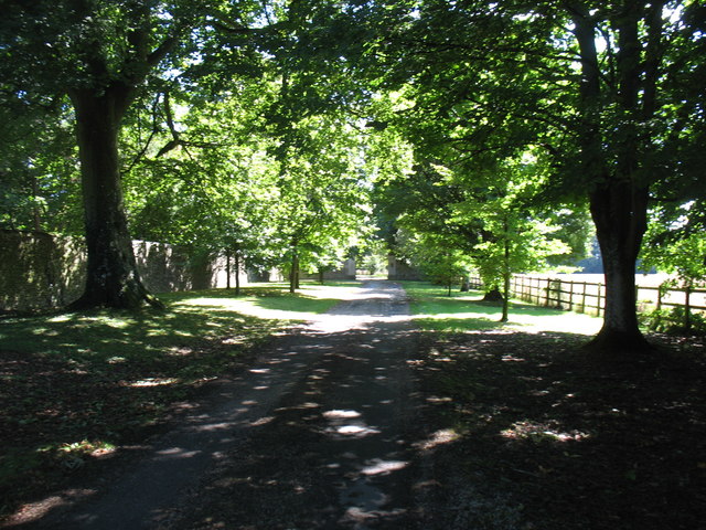
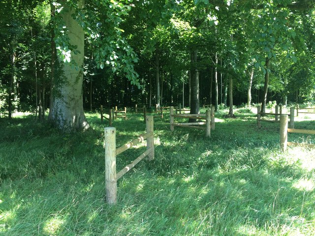
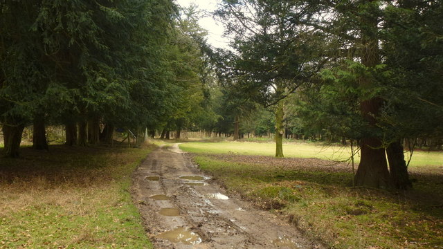
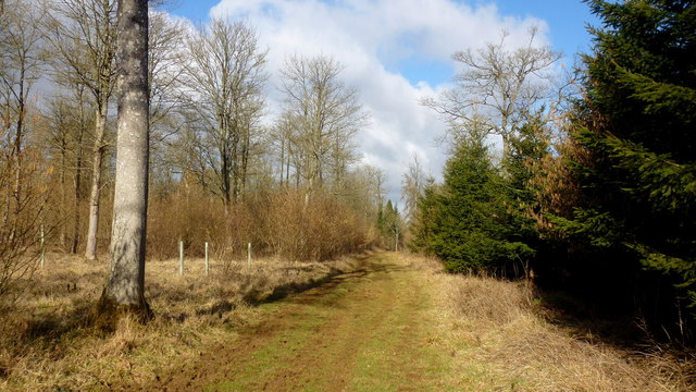
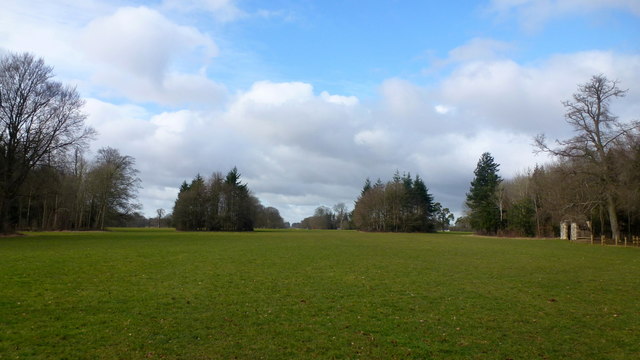
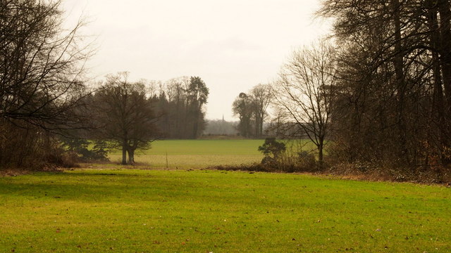
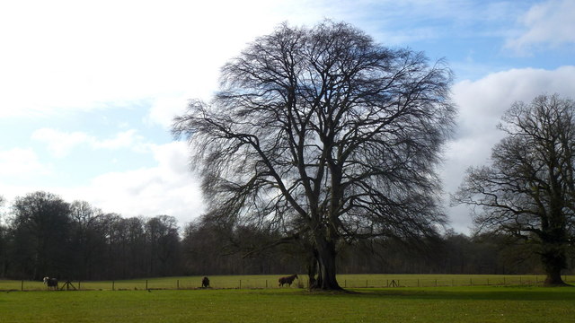
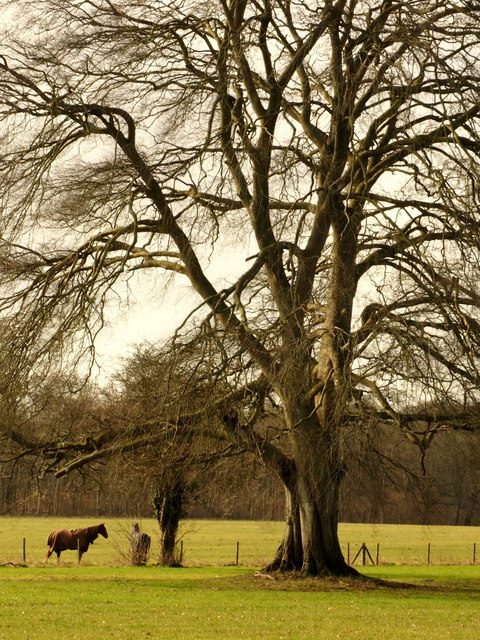
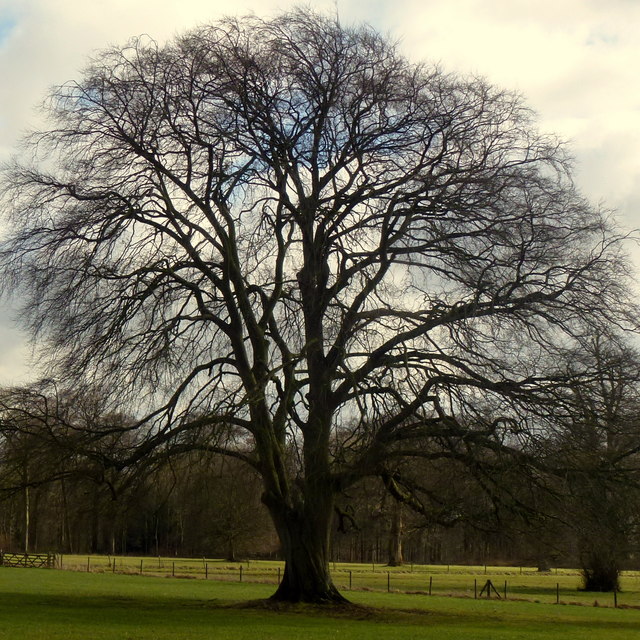
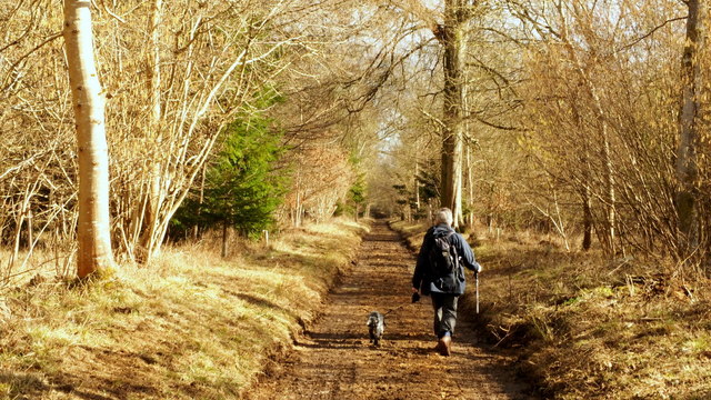
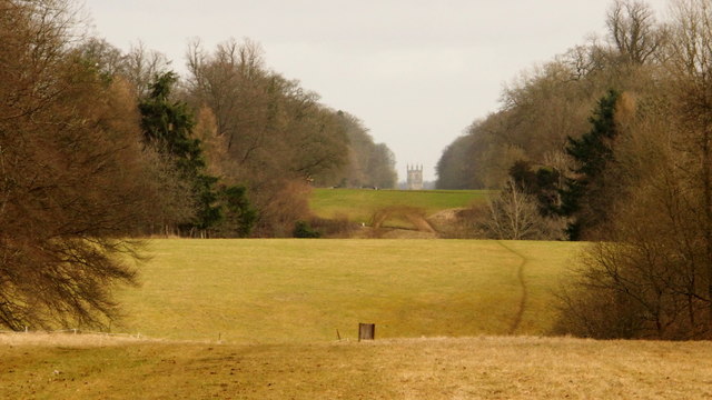
Surrounded by rolling hills and lush greenery, Hermitage Bottom offers visitors a peaceful retreat from the hectic pace of modern life. The valley is characterized by its meandering stream, which gently winds its way through the landscape, creating a soothing soundtrack for those who venture here. The stream is flanked by a variety of woodland areas and wildflower meadows, providing a haven for a diverse range of flora and fauna.
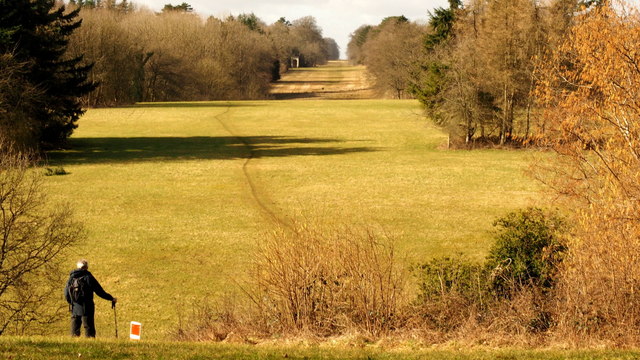
The valley is a popular destination for nature lovers, hikers, and photographers, offering numerous walking trails and viewpoints to explore. The vistas from the top of the hills are simply breathtaking, allowing visitors to take in the panoramic views of the surrounding countryside.
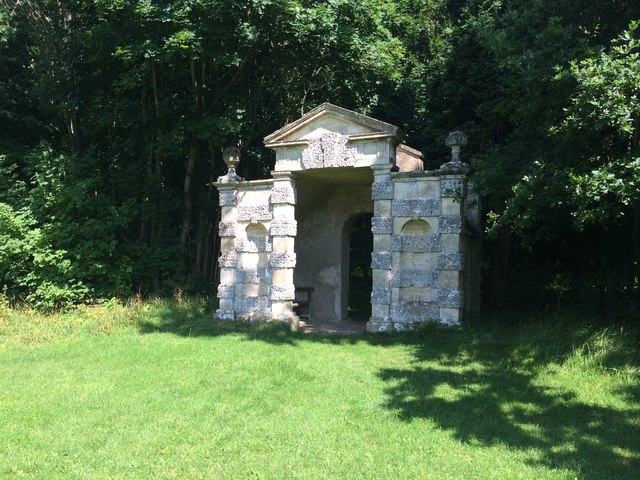
In addition to its natural beauty, Hermitage Bottom has a rich history. The valley is home to several ancient archaeological sites, including burial mounds and Roman remains. It is believed that the area has been inhabited since prehistoric times, and evidence of this can be seen in the various artifacts discovered in the region.
Overall, Hermitage Bottom is a hidden gem in Gloucestershire, offering visitors a chance to connect with nature and immerse themselves in the beauty of the Cotswolds. Whether you're seeking a peaceful stroll or a scenic escape, this valley is sure to leave a lasting impression.
If you have any feedback on the listing, please let us know in the comments section below.
Hermitage Bottom Images
Images are sourced within 2km of 51.721411/-2.0182941 or Grid Reference SO9802. Thanks to Geograph Open Source API. All images are credited.
Hermitage Bottom is located at Grid Ref: SO9802 (Lat: 51.721411, Lng: -2.0182941)
Administrative County: Gloucestershire
District: Cotswold
Police Authority: Gloucestershire
What 3 Words
///lime.hours.gilding. Near Coates, Gloucestershire
Nearby Locations
Related Wikis

A419 road
The A419 road is a primary route between Chiseldon near Swindon at junction 15 of the M4 with the A346 road, and Whitminster in Gloucestershire, England...

Alfred's Hall
Alfred's Hall is a ruined folly in Cirencester Park, Gloucestershire, England. The Grade II* listed building dates from 1721 and is "probably the first...

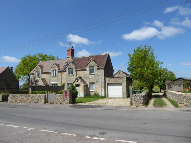
Coates, Gloucestershire
Coates is a village and civil parish situated in Cotswold District, Gloucestershire, England. It is around 3 miles (4.8 km) west of Cirencester and close...

Cirencester Deer Park School
Cirencester Deer Park School is a secondary school Park. == History == Founded in 1966, the school combined Cirencester Grammar School with the town's...
Cirencester Park
Cirencester Park is a cricket ground in Cirencester, Gloucestershire. The first recorded match on the ground was in 1853, when Cirencester played an All...
Cirencester College
Cirencester College is a sixth form college based in the town of Cirencester in the South Cotswolds. It is a specialist sixth form provider serving communities...

Church of the Holy Rood , Daglingworth
The Anglican Church of the Holy Rood at Daglingworth in the Cotswold District of Gloucestershire, England was built in the 11th century. It is a Grade...

Cecily Hill Barracks
Cecily Hill Barracks is a former military installation in Cirencester in Gloucestershire. The former keep for the barracks (known locally as The Castle...
Nearby Amenities
Located within 500m of 51.721411,-2.0182941Have you been to Hermitage Bottom?
Leave your review of Hermitage Bottom below (or comments, questions and feedback).