Rough Hills Plantation
Wood, Forest in Gloucestershire Cotswold
England
Rough Hills Plantation
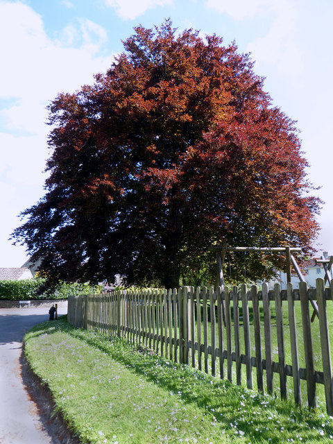
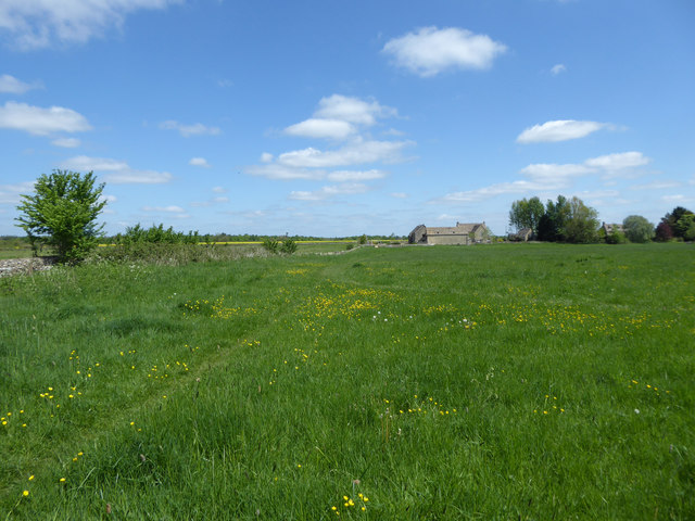
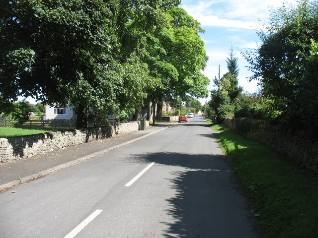
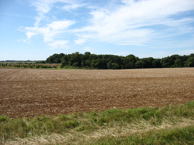
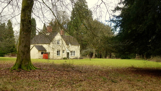
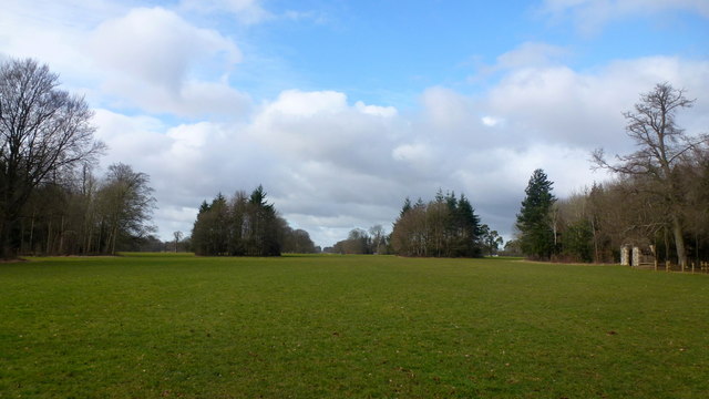
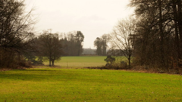
Rough Hills Plantation is a sprawling woodland located in the picturesque county of Gloucestershire, England. Situated amidst the rolling hills and verdant landscapes, this plantation is renowned for its abundant natural beauty and diverse flora and fauna.
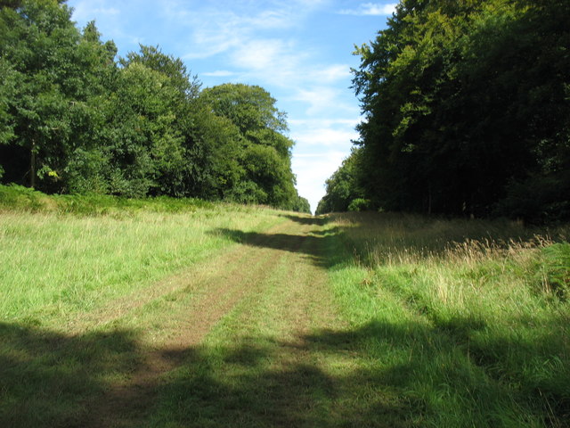
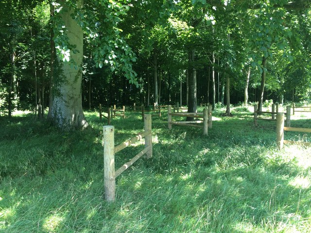
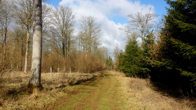
Covering an area of approximately 500 acres, Rough Hills Plantation is primarily composed of dense forests and woodlands. The plantation is dominated by a mixture of broadleaf and coniferous trees, including oak, beech, pine, and spruce, creating a rich tapestry of colors throughout the year. The dense canopy provides a haven for various wildlife species, including deer, foxes, badgers, and a myriad of bird species.
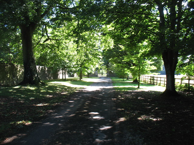
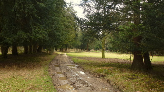
The plantation offers a tranquil escape for nature enthusiasts and outdoor enthusiasts alike. Several well-maintained trails crisscross the plantation, allowing visitors to explore its vast expanse. These pathways wind through ancient woodlands, offering stunning views of the surrounding countryside and glimpses of wildlife in their natural habitat.
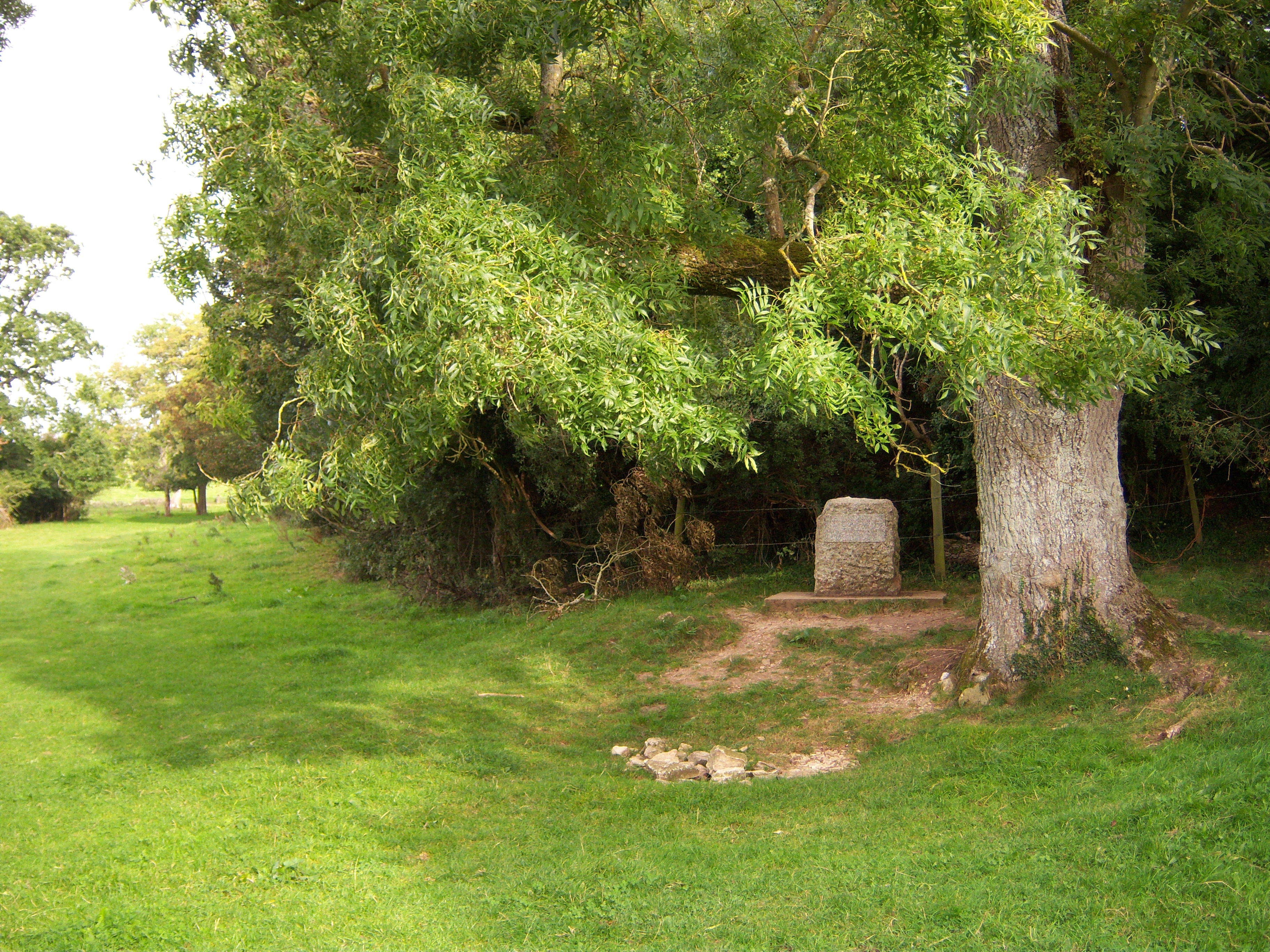
Rough Hills Plantation also holds historical significance, with evidence of human habitation dating back centuries. It is believed that the area was once used for charcoal production and timber harvesting, contributing to the local economy. Today, the plantation is managed by local authorities, focusing on sustainable forestry practices and nature conservation.
Whether it's a leisurely walk, birdwatching, or simply immersing oneself in the tranquility of nature, Rough Hills Plantation offers a serene and captivating experience for visitors seeking respite from the hustle and bustle of everyday life.
If you have any feedback on the listing, please let us know in the comments section below.
Rough Hills Plantation Images
Images are sourced within 2km of 51.717454/-2.0221429 or Grid Reference SO9802. Thanks to Geograph Open Source API. All images are credited.
Rough Hills Plantation is located at Grid Ref: SO9802 (Lat: 51.717454, Lng: -2.0221429)
Administrative County: Gloucestershire
District: Cotswold
Police Authority: Gloucestershire
What 3 Words
///zinc.rely.lectures. Near Coates, Gloucestershire
Nearby Locations
Related Wikis

A419 road
The A419 road is a primary route between Chiseldon near Swindon at junction 15 of the M4 with the A346 road, and Whitminster in Gloucestershire, England...

Coates, Gloucestershire
Coates is a village and civil parish situated in Cotswold District, Gloucestershire, England. It is around 3 miles (4.8 km) west of Cirencester and close...

Alfred's Hall
Alfred's Hall is a ruined folly in Cirencester Park, Gloucestershire, England. The Grade II* listed building dates from 1721 and is "probably the first...

Cirencester Deer Park School
Cirencester Deer Park School is a secondary school Park. == History == Founded in 1966, the school combined Cirencester Grammar School with the town's...
Cirencester College
Cirencester College is a sixth form college based in the town of Cirencester in the South Cotswolds. It is a specialist sixth form provider serving communities...
Cirencester Park
Cirencester Park is a cricket ground in Cirencester, Gloucestershire. The first recorded match on the ground was in 1853, when Cirencester played an All...
Thames Head
Thames Head is a group of seasonal springs that arise near the village of Coates in the Cotswolds, about three miles south-west of the town of Cirencester...

Church of the Holy Rood , Daglingworth
The Anglican Church of the Holy Rood at Daglingworth in the Cotswold District of Gloucestershire, England was built in the 11th century. It is a Grade...
Related Videos

Thames Path - Source to London - Kemble to Cricklade - Day 1 of 12
Day 1 of 12 of an epic walking adventure through some of England's most beautiful countryside and incredible history. A walk that ...

A Return to the Disused Canal for a Slow Paced Autumnal Amble
So, today we are out and about walking back at the disused Thames & Severn Canal for an autumnal amble. This was at the ...

Whats The Thames Path Like ?- From The Source To Cricklade
Part 1 of our adventures on the Thames Path saw us walk from Thames Head to Cricklade on what was the hottest day of the year.

Nearby Amenities
Located within 500m of 51.717454,-2.0221429Have you been to Rough Hills Plantation?
Leave your review of Rough Hills Plantation below (or comments, questions and feedback).