Little Rough Hills

Wood, Forest in Gloucestershire Cotswold

England

Little Rough Hills

Village pump, Coates The village pump stands in the shade of a magnificent copper beech tree. See also <a href="https://www.geograph.org.uk/photo/1517887">SO9801 : Pump and hydrant, Quaker Row, Coates</a>.
Village pump, Coates Credit: Vieve Forward

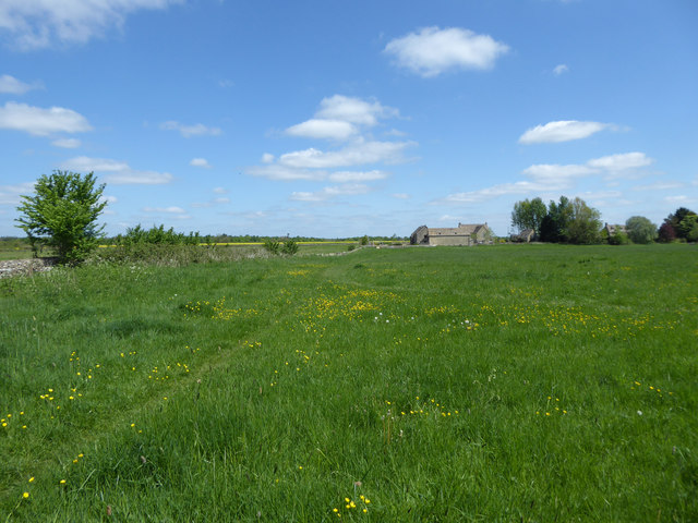
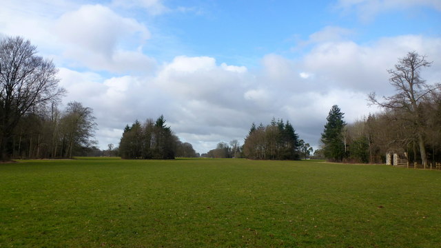
Little Rough Hills is a charming village located in the county of Gloucestershire, England. Situated amidst the picturesque woodlands and forests, it offers a serene and tranquil atmosphere for residents and visitors alike. The village is nestled in the heart of the countryside, providing breathtaking views of rolling hills and lush green landscapes.

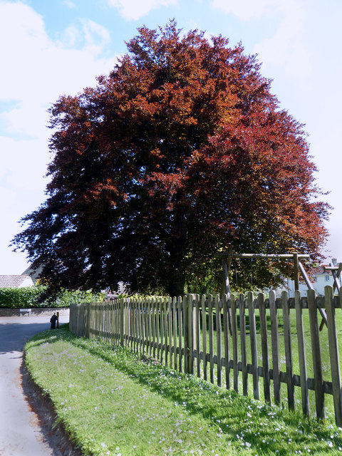
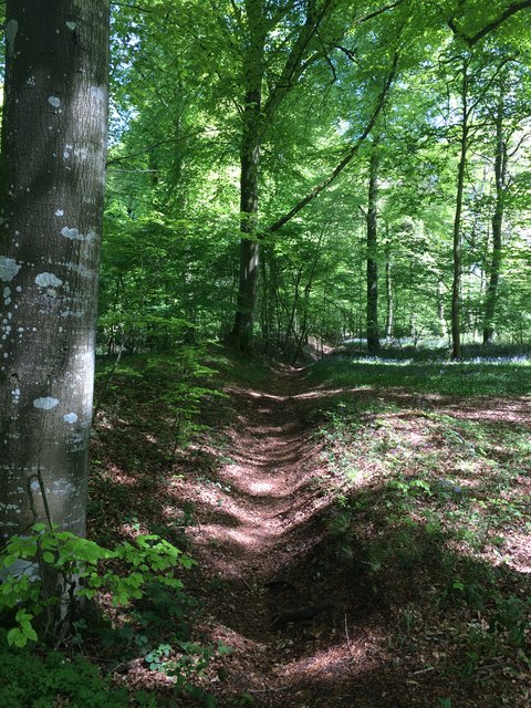
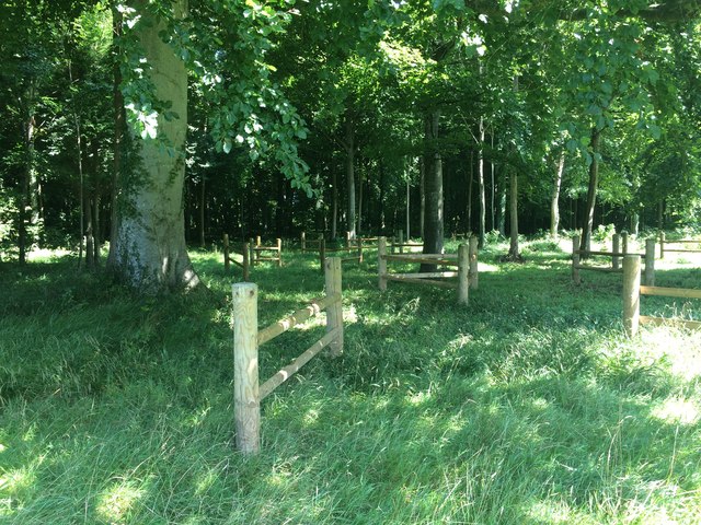
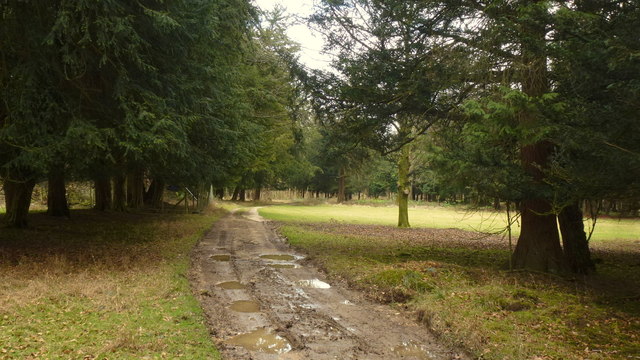
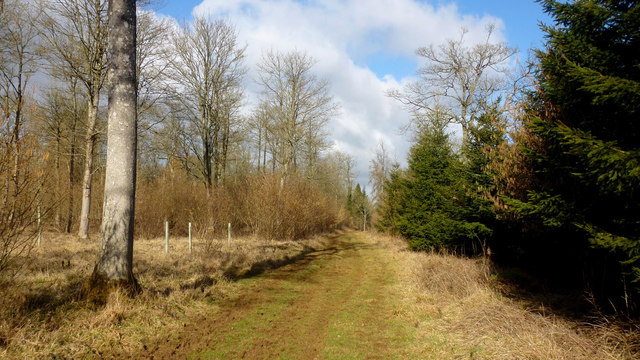
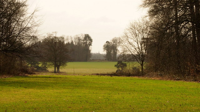
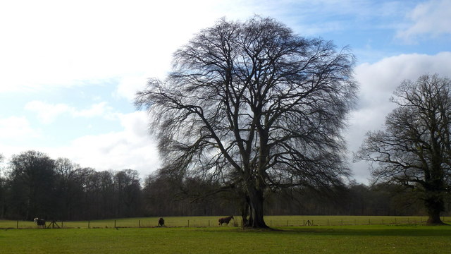
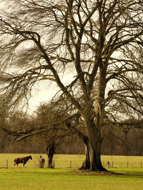
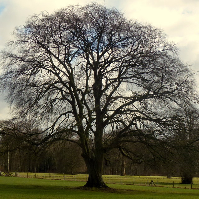
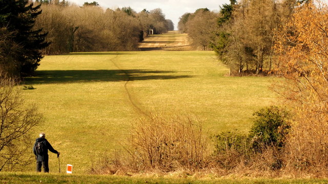
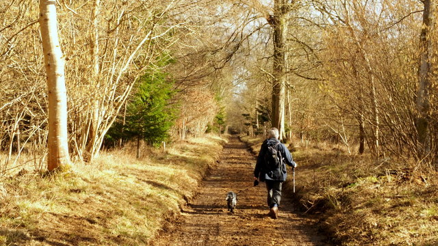
The woodlands surrounding Little Rough Hills are a prominent feature of the area, attracting nature enthusiasts and hikers who enjoy exploring the numerous walking trails that crisscross through the forests. These woodlands are home to a diverse range of flora and fauna, making it an ideal destination for wildlife spotting and birdwatching.

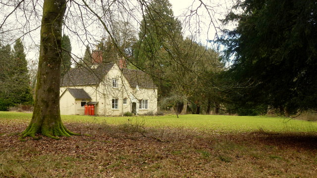
The village itself is small but has a close-knit community that takes pride in preserving its rural charm. Traditional cottages and houses with thatched roofs line the streets, adding to the village's quaint character. The locals are friendly and welcoming, making visitors feel at home.

Despite its rural setting, Little Rough Hills offers convenient amenities to its residents. The village has a local shop that caters to everyday needs, and there are a few pubs and restaurants where locals and visitors can enjoy a meal or a drink.

For those seeking a peaceful and idyllic getaway, Little Rough Hills in Gloucestershire provides the perfect retreat. Surrounded by nature's beauty and with a strong sense of community, it offers a truly authentic countryside experience.

If you have any feedback on the listing, please let us know in the comments section below.

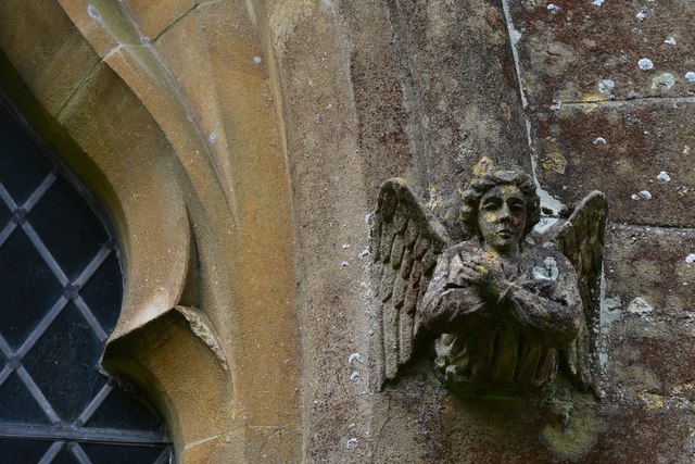
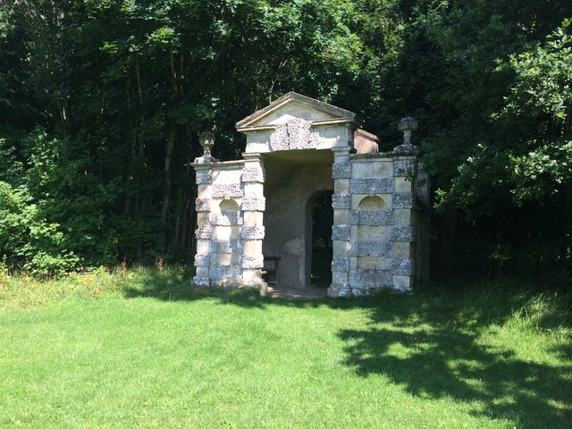
Little Rough Hills Images

Images are sourced within 2km of 51.724459/-2.0199892 or Grid Reference SO9802. Thanks to Geograph Open Source API. All images are credited.

Village pump, Coates The village pump stands in the shade of a magnificent copper beech tree. See also <a href="https://www.geograph.org.uk/photo/1517887">SO9801 : Pump and hydrant, Quaker Row, Coates</a>.
Village pump, Coates
The village pump stands in the shade of a magnificent copper beech tree. See also SO9801 : Pump and hydrant, Quaker Row, Coates.
The Setts Buildings, Coates
Daglingworth, The Holy Rood Church: St. Peter with the key to the Gates of Heaven, one of four Anglo Saxon wall mounted plaques
Daglingworth, The Holy Rood Church: The octagonal c15th font
Daglingworth, The Holy Rood Church: Label stop 3
Gully and Earthwall
Gully and Earthwall
Pope's Seat
Pope's Seat
Fences by Pope's Seat If anybody can give some information about these unusual fences please comment.
Fences by Pope's Seat
If anybody can give some information about these unusual fences please comment.
The Wood House Aptly-named (gamekeeper's?) cottage in the middle of Oakley Wood, part of the Earl of Bathurst's Cirencester Park Estate.
The Wood House
Aptly-named (gamekeeper's?) cottage in the middle of Oakley Wood, part of the Earl of Bathurst's Cirencester Park Estate.
Rutted track in Oakley Wood. Part of the Earl of Bathurst's Cirencester Park Estate.
Rutted track in Oakley Wood.
Part of the Earl of Bathurst's Cirencester Park Estate.
A ride in Oakley Wood Part of the Earl of Bathurst's Cirencester Park Estate.
A ride in Oakley Wood
Part of the Earl of Bathurst's Cirencester Park Estate.
Cirencester Park, 7 Looking west from just into the grid square (and myriad).
The wide area of the Broad Ride includes seven radiating rides and up ahead still further is the Polo field and events area. For example the Cotswold Show is held here every July. See <span class="nowrap"><a title="http://www.cotswoldshow.co.uk/" rel="nofollow ugc noopener" href="http://www.cotswoldshow.co.uk/">Link</a><img style="margin-left:2px;" alt="External link" title="External link - shift click to open in new window" src="https://s1.geograph.org.uk/img/external.png" width="10" height="10"/></span>
Cirencester Park, 7
Looking west from just into the grid square (and myriad). The wide area of the Broad Ride includes seven radiating rides and up ahead still further is the Polo field and events area. For example the Cotswold Show is held here every July. See LinkExternal link
Cirencester Park, 8 This view from the same spot as <a href="https://www.geograph.org.uk/photo/5686859">SP0002 : Cirencester Park, 6</a> is one of the seven rides radiating towards landmarks. The distant view of the spire of All Saints' church Kemble, over 5km distant, in ST9896.
Cirencester Park, 8
This view from the same spot as SP0002 : Cirencester Park, 6 is one of the seven rides radiating towards landmarks. The distant view of the spire of All Saints' church Kemble, over 5km distant, in ST9896.
Beech tree in Cirencester Park, 1 A fine specimen by the Broad Ride.
Beech tree in Cirencester Park, 1
A fine specimen by the Broad Ride.
Beech tree in Cirencester Park, 2 A fine specimen by the Broad Ride.
Beech tree in Cirencester Park, 2
A fine specimen by the Broad Ride.
Beech tree in Cirencester Park, 3 A fine specimen by the Broad Ride.
Beech tree in Cirencester Park, 3
A fine specimen by the Broad Ride.
Cirencester Park, 9 Looking west over Rough Hills and along the Broad Ride.
Cirencester Park, 9
Looking west over Rough Hills and along the Broad Ride.
Cirencester Park, 10 A track through The Braddocks.
Cirencester Park, 10
A track through The Braddocks.
Show me another place!

Little Rough Hills is located at Grid Ref: SO9802 (Lat: 51.724459, Lng: -2.0199892)

Administrative County: Gloucestershire

District: Cotswold

Police Authority: Gloucestershire

What 3 Words

///stove.yachting.dated. Near Coates, Gloucestershire

Related Wikis

Alfred's Hall

Alfred's Hall is a ruined folly in Cirencester Park, Gloucestershire, England. The Grade II* listed building dates from 1721 and is "probably the first...

A419 road

The A419 road is a primary route between Chiseldon near Swindon at junction 15 of the M4 with the A346 road, and Whitminster in Gloucestershire, England...

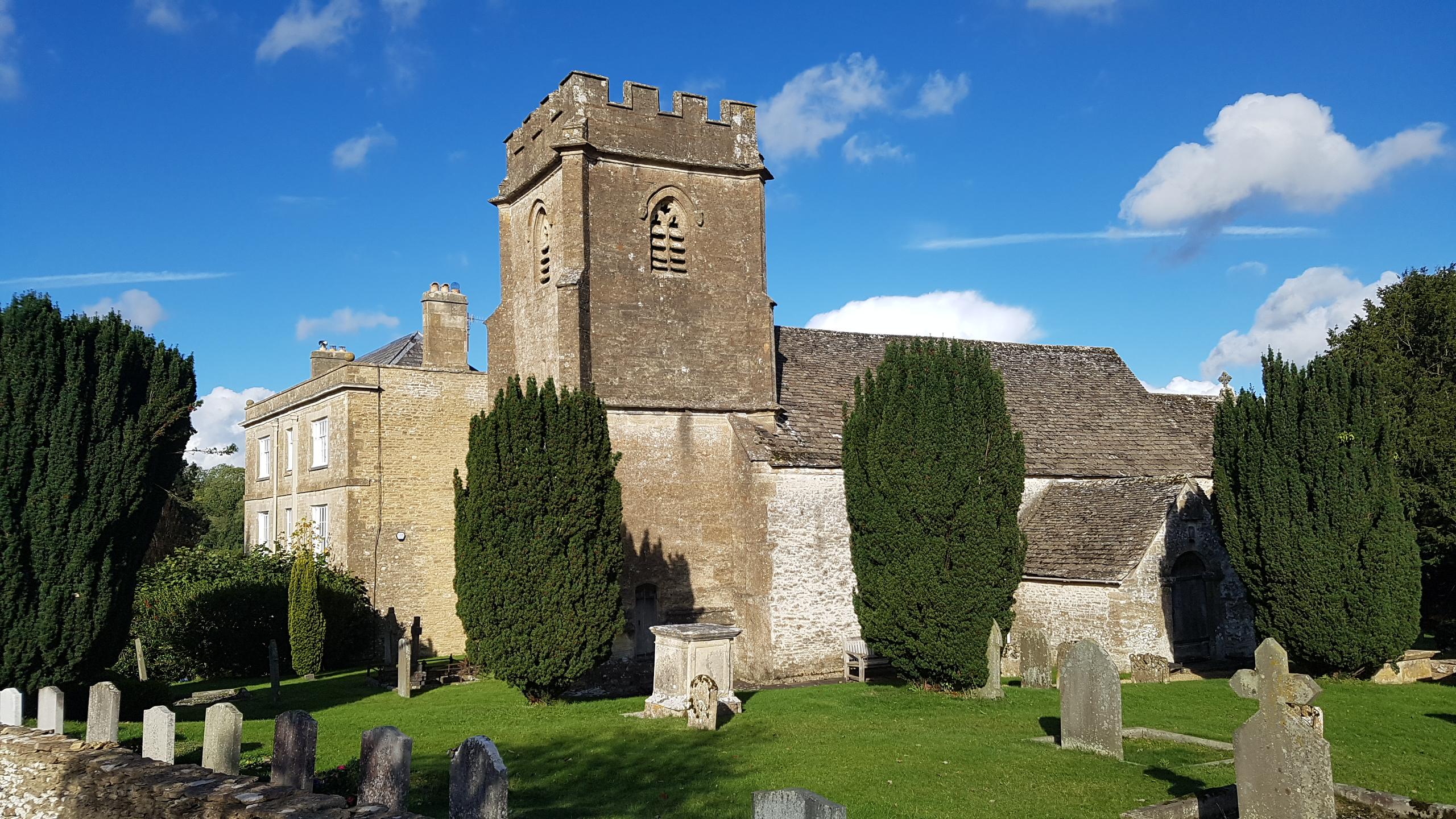
Church of the Holy Rood , Daglingworth

The Anglican Church of the Holy Rood at Daglingworth in the Cotswold District of Gloucestershire, England was built in the 11th century. It is a Grade...

Coates, Gloucestershire

Coates is a village and civil parish situated in Cotswold District, Gloucestershire, England. It is around 3 miles (4.8 km) west of Cirencester and close...

Cirencester Park

Cirencester Park is a cricket ground in Cirencester, Gloucestershire. The first recorded match on the ground was in 1853, when Cirencester played an All...

Cirencester Deer Park School

Cirencester Deer Park School is a secondary school Park. == History == Founded in 1966, the school combined Cirencester Grammar School with the town's...

Cirencester College

Cirencester College is a sixth form college based in the town of Cirencester in the South Cotswolds. It is a specialist sixth form provider serving communities...

Daglingworth

Daglingworth is a Gloucestershire village in the valley of the River Dunt, near the A417 road connecting Gloucester and Cirencester. As with many smaller...

Nearby Amenities

Located within 500m of 51.724459,-2.0199892
The data included in this document is from www.openstreetmap.org. The data is made available under ODbL.

Have you been to Little Rough Hills?

Leave your review of Little Rough Hills below (or comments, questions and feedback).