Knave Holes Clough
Valley in Yorkshire
England
Knave Holes Clough
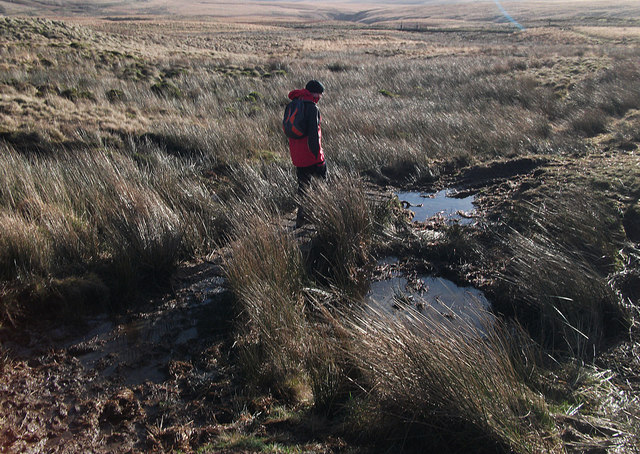
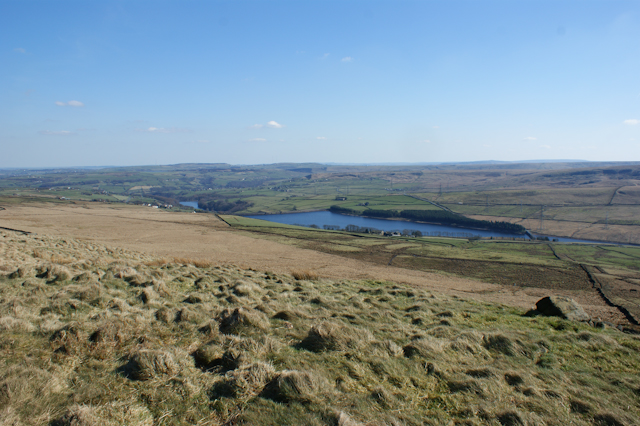
Knave Holes Clough is a picturesque valley located in the county of Yorkshire, England. Stretching over approximately 2 miles, this stunning natural landscape is nestled within the larger area known as the Peak District National Park. The clough is situated near the village of Edale, which lies in the heart of the scenic Hope Valley.
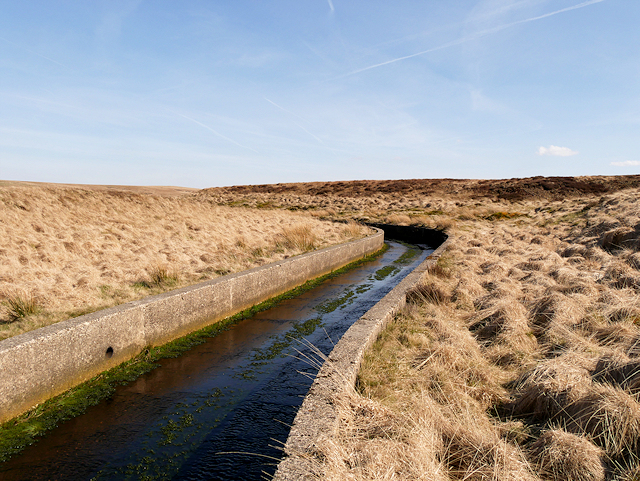
The valley boasts a diverse range of flora and fauna, making it a haven for nature enthusiasts and wildlife lovers alike. Lush green fields, dense woodlands, and meandering streams characterize Knave Holes Clough, creating a tranquil and idyllic atmosphere. The valley is particularly renowned for its wildflower meadows, which burst into a riot of colors during the spring and summer months.
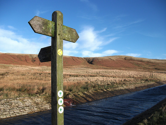
The clough is intersected by several walking trails, allowing visitors to explore its natural beauty at their own pace. The paths wind through the valley, offering breathtaking views of the surrounding rolling hills and rugged moorland. One of the most popular routes is the Pennine Way, which runs through the clough and provides access to other nearby attractions.
Knave Holes Clough is also home to a variety of wildlife species, including red grouse, curlews, and brown hares. The valley's diverse ecosystem provides a vital habitat for these creatures, as well as for numerous bird species. Birdwatchers often flock to the area to catch a glimpse of rare and migratory birds.
Overall, Knave Holes Clough is a hidden gem in Yorkshire, offering visitors a chance to escape the hustle and bustle of everyday life and immerse themselves in the tranquility of nature. Its scenic beauty and rich biodiversity make it a must-visit destination for nature lovers and outdoor enthusiasts.
If you have any feedback on the listing, please let us know in the comments section below.
Knave Holes Clough Images
Images are sourced within 2km of 53.664062/-2.019409 or Grid Reference SD9818. Thanks to Geograph Open Source API. All images are credited.


Knave Holes Clough is located at Grid Ref: SD9818 (Lat: 53.664062, Lng: -2.019409)
Division: West Riding
Unitary Authority: Calderdale
Police Authority: West Yorkshire
What 3 Words
///blanket.vitamins.suitably. Near Ripponden, West Yorkshire
Related Wikis

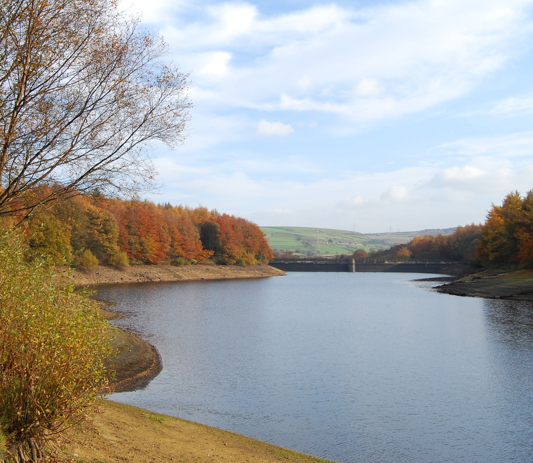
Blackstone Edge Reservoir
Blackstone Edge Reservoir is a reservoir in the Metropolitan Borough of Rochdale, Greater Manchester, England. It is close to Blackstone Edge, from which...
Baitings Reservoir
Baitings Reservoir is a large water supply reservoir operated by Yorkshire Water close to Ripponden in the West Yorkshire Pennines, England. It lies in...

Blackstone Edge
Blackstone Edge ( BLAK-stən) is a gritstone escarpment at 472 metres (1,549 ft) above sea level in the Pennine hills surrounded by moorland on the boundary...
Ryburn Reservoir
Ryburn Reservoir is a supply reservoir operated by Yorkshire Water close to Ripponden in the Yorkshire Pennines, England. It lies in the valley of the...
Nearby Amenities
Located within 500m of 53.664062,-2.019409Have you been to Knave Holes Clough?
Leave your review of Knave Holes Clough below (or comments, questions and feedback).