Bent Clough
Valley in Yorkshire
England
Bent Clough

Bent Clough is a picturesque valley located in the county of Yorkshire, England. It is nestled within the stunning natural beauty of the Yorkshire Dales National Park, making it a popular destination for nature enthusiasts and hikers. The valley is situated near the village of Kettlewell, in the Craven district.
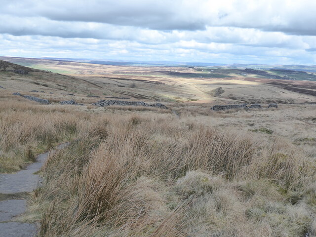
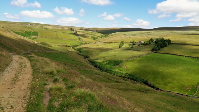
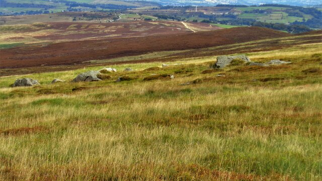
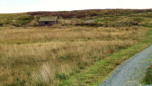
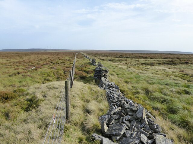
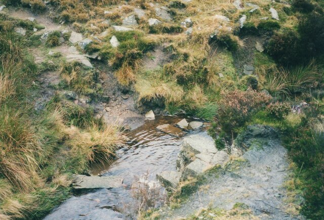
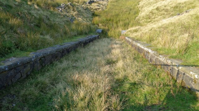
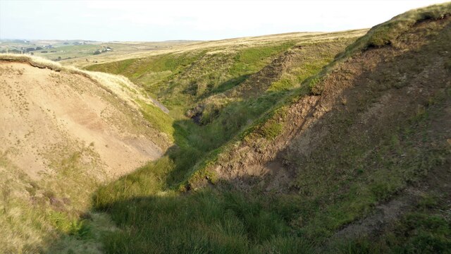
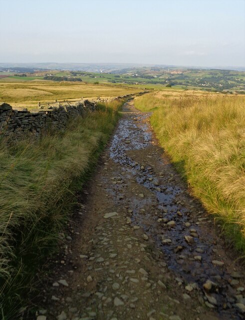
The landscape of Bent Clough is characterized by rolling hills, lush green meadows, and meandering streams. The valley is surrounded by towering limestone cliffs, adding to its dramatic beauty. The diverse flora and fauna found in this area make it an important ecological site.
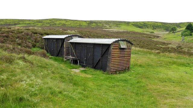
One of the main attractions of Bent Clough is its extensive network of walking trails, which cater to various fitness levels. These trails offer breathtaking views of the surrounding countryside, making it a paradise for photographers and artists. The valley is also home to an array of wildlife, including birds, deer, and rare plant species.
Visitors to Bent Clough can immerse themselves in the tranquility of the valley by camping or staying in one of the nearby accommodations. The village of Kettlewell, with its charming cottages and traditional pubs, provides a warm welcome to tourists.
Overall, Bent Clough offers a serene escape from the bustle of everyday life, providing visitors with an opportunity to connect with nature and enjoy the idyllic beauty of the Yorkshire Dales.
If you have any feedback on the listing, please let us know in the comments section below.
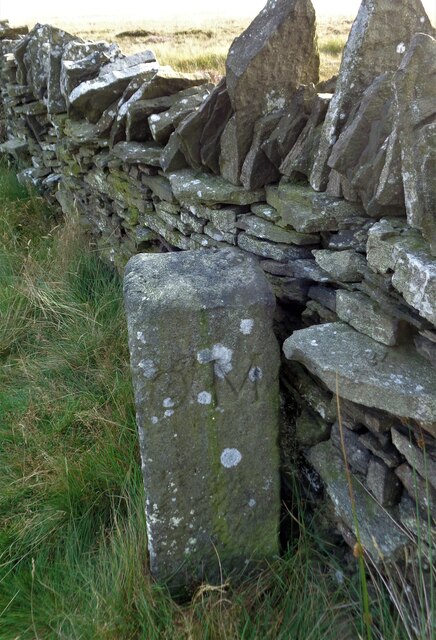
Bent Clough Images
Images are sourced within 2km of 53.802352/-2.01917 or Grid Reference SD9834. Thanks to Geograph Open Source API. All images are credited.


Bent Clough is located at Grid Ref: SD9834 (Lat: 53.802352, Lng: -2.01917)
Division: West Riding
Unitary Authority: Calderdale
Police Authority: West Yorkshire
What 3 Words
///spurring.debt.stir. Near Oxenhope, West Yorkshire
Nearby Locations
Related Wikis

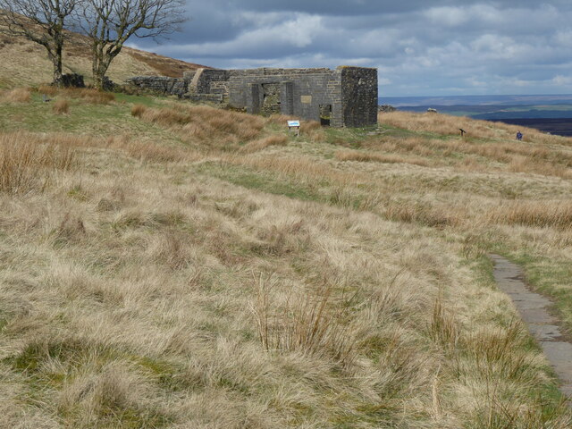
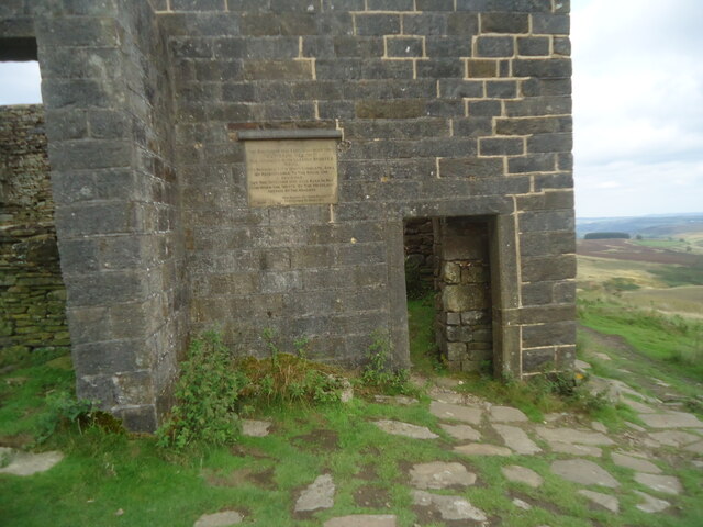
Top Withens
Top Withens (SD981353) (also known as Top Withins) is a ruined farmhouse near Haworth, West Yorkshire, England, which is said to have been the inspiration...

Walshaw Dean Reservoirs
Walshaw Dean Reservoirs are three reservoirs situated above Hebden Bridge, West Yorkshire, England. They are between Hebden Bridge and Top Withins, a ruined...

Ponden Hall
Ponden Hall is a farmhouse near Stanbury in West Yorkshire, England. It is famous for reputedly being the inspiration for Thrushcross Grange, the home...

Ponden Reservoir
Ponden Reservoir is an artificial upland lake in the Worth Valley, near Stanbury, West Yorkshire, England. Ponden was built as a compensation reservoir...

Scar Top
Scar Top is a farming hamlet near the tourist village of Haworth in the City of Bradford metropolitan borough, West Yorkshire in England. It is in the...

Stanbury
Stanbury is a village and former civil parish, now in the parish of Haworth and Stanbury, in the metropolitan borough of the City of Bradford in West Yorkshire...

Blake Dean Railway
The Blake Dean Railway was an approximately 5.5 miles (9 km) long 3 ft (914 mm) gauge narrow gauge railway on the edge of Hardcastle Crags Valley in West...

Lower Laithe Reservoir
Lower Laithe Reservoir is a man-made upland reservoir that lies 1.2 miles (2 km) west of Haworth, West Yorkshire, England. The reservoir was initially...
Have you been to Bent Clough?
Leave your review of Bent Clough below (or comments, questions and feedback).