Middle Moor

Downs, Moorland in Yorkshire

England

Middle Moor

The Pennine Way near Lower Fold Hill
The Pennine Way near Lower Fold Hill Credit: Dave Kelly

Middle Moor is a picturesque area located in Yorkshire, England. Situated amidst the rolling Yorkshire Downs and Moorland, this region offers breathtaking natural beauty and a tranquil environment that attracts visitors from all over the world.

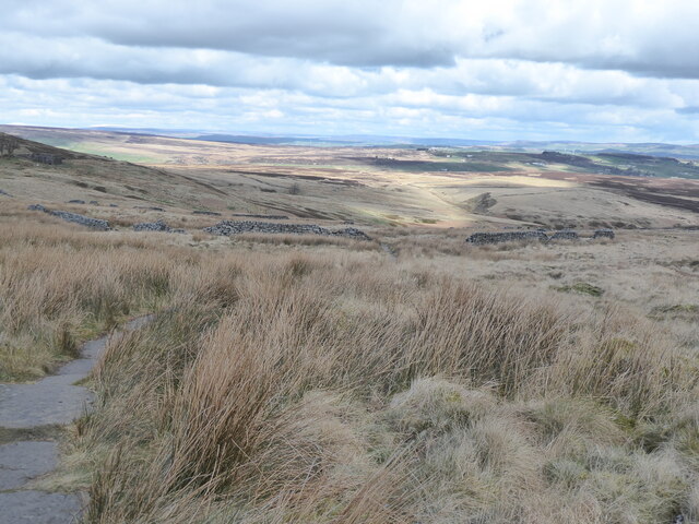
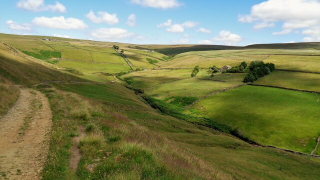
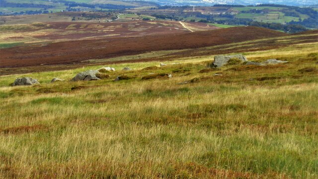
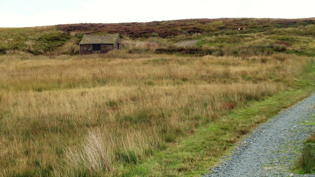
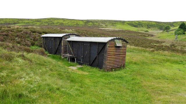
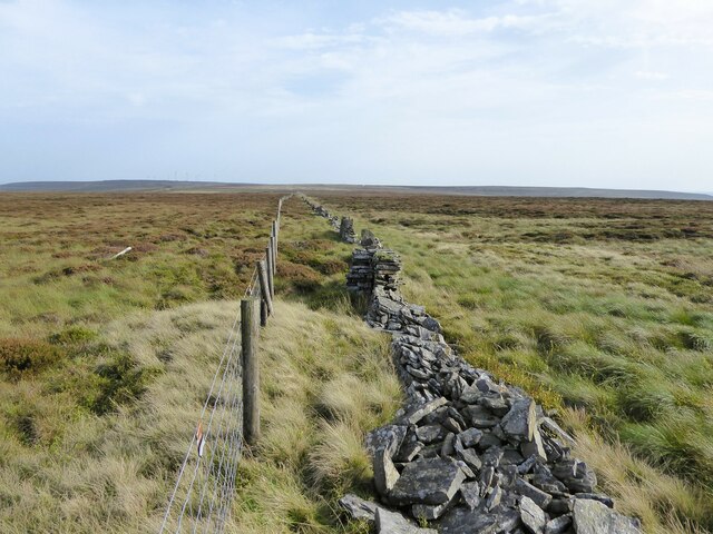
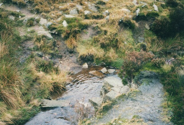
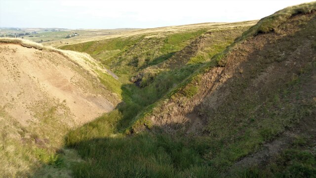
Covering a vast expanse of land, Middle Moor is characterized by its vast stretches of open moorland, dotted with heather, grasses, and meandering streams. The area is renowned for its stunning panoramic views, with hills and valleys providing a captivating backdrop. The landscape is also home to various species of wildlife, including birds, rabbits, and deer, making it a haven for nature enthusiasts and birdwatchers.

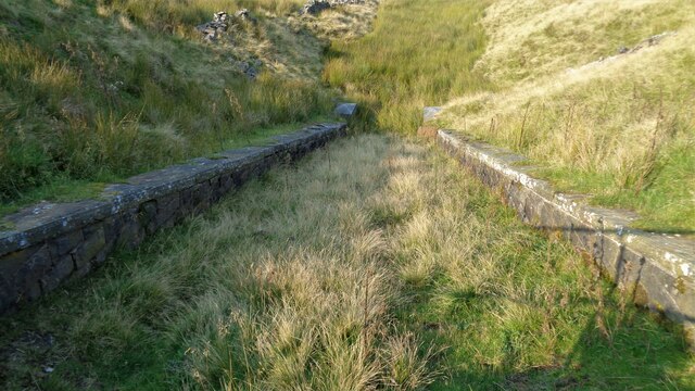
Middle Moor is known for its unique geological formations, with rocky outcrops and limestone cliffs adding to its charm. The area is crisscrossed by a network of footpaths and trails, making it an ideal destination for hikers, walkers, and cyclists. The trails lead visitors through the moorland, offering opportunities to explore hidden valleys, ancient woodlands, and historic landmarks.

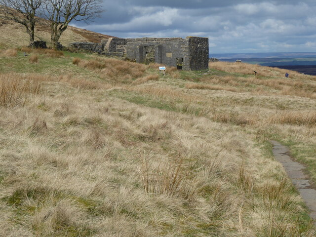
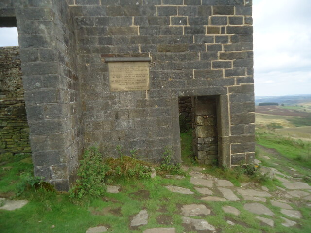
One notable feature of Middle Moor is its rich history and cultural heritage. The area is home to ancient burial mounds, stone circles, and remnants of Iron Age settlements, providing a glimpse into the region's past. Additionally, Middle Moor has been immortalized in literature and art, with numerous writers and artists drawing inspiration from its captivating beauty.

Whether one is seeking a peaceful retreat in nature, an adventure in the great outdoors, or an exploration of history and culture, Middle Moor offers a diverse range of experiences. With its stunning landscapes, abundant wildlife, and rich heritage, this region of Yorkshire truly captivates the hearts of all who visit.

If you have any feedback on the listing, please let us know in the comments section below.

Middle Moor Images

Images are sourced within 2km of 53.803413/-2.0186542 or Grid Reference SD9834. Thanks to Geograph Open Source API. All images are credited.

The Pennine Way near Lower Fold Hill
The Pennine Way near Dean Stones Edge
The Pennine Way near Green Hole
The Pennine Bridleway near Top Withins
Head of Crimsworth Dean The track is descending to Grain Water Bridge
Head of Crimsworth Dean
The track is descending to Grain Water Bridge
Pennine Way on Withins Height End The paved path is approaching the crossing of several dikes feeding Black Dike
Pennine Way on Withins Height End
The paved path is approaching the crossing of several dikes feeding Black Dike
Noonen Stones on Dick Delf Hill View from the Pennine Way on the descent from Withins Height End
Noonen Stones on Dick Delf Hill
View from the Pennine Way on the descent from Withins Height End
Shooter's Track in Black Clough The track to service the shooting butts in the clough viewed from off the Pennine Way
Shooter's Track in Black Clough
The track to service the shooting butts in the clough viewed from off the Pennine Way
Shooting Hut by Dean Gate To service several shooting butts in the area
Shooting Hut by Dean Gate
To service several shooting butts in the area
Shooters' Cabins Former railway van wagons used by shooters near Harbour Lodge
Shooters' Cabins
Former railway van wagons used by shooters near Harbour Lodge
The ruin of Top Withins This modest ruin beside the Pennine Way is the goal of many literary pilgrims (especially Japanese, for some reason). It is probably the place upon which Emily Bronte based the home of the Earnshaw family in Wuthering Heights, although as the plaque makes clear it was not the actual farmhouse. I have submitted it, of course, because my good friend Michael, who allows me to submit his photos, has the same surname.

For a close view of the plaque, see <a href="https://www.geograph.org.uk/photo/4991313">SD9835 : Plaque at Top Withens</a>.
The ruin of Top Withins
This modest ruin beside the Pennine Way is the goal of many literary pilgrims (especially Japanese, for some reason). It is probably the place upon which Emily Bronte based the home of the Earnshaw family in Wuthering Heights, although as the plaque makes clear it was not the actual farmhouse. I have submitted it, of course, because my good friend Michael, who allows me to submit his photos, has the same surname. For a close view of the plaque, see SD9835 : Plaque at Top Withens.
The Deep Nitch and The Waste OS maps have the Deep Nitch to the left of the fence line and The Waste to the right in this view. To the right following the fence line is an unmarked path heading to Top of Stairs.
The Deep Nitch and The Waste
OS maps have the Deep Nitch to the left of the fence line and The Waste to the right in this view. To the right following the fence line is an unmarked path heading to Top of Stairs.
Crossing South Dean Beck Another photo taken 17 years later shows that a bridge had been provided since I came this way in 2002 <a href="https://www.geograph.org.uk/photo/6165153">SD9835 : Footbridges at Withens Foot, Haworth</a>.
Crossing South Dean Beck
Another photo taken 17 years later shows that a bridge had been provided since I came this way in 2002 SD9835 : Footbridges at Withens Foot, Haworth.
Boundary stone near Dick Delf Hill
Boundary stone on Oxenhope Stoop Hill
Stile, fence and wall on Oxenhope Stoop Hill
Overflow into Sun Hill Clough From the Thornton Moor Reservoir conduit. Quite a steep masonry spillway
Overflow into Sun Hill Clough
From the Thornton Moor Reservoir conduit. Quite a steep masonry spillway
Deep Dyke from Stairs Lane A badly eroded valley
Deep Dyke from Stairs Lane
A badly eroded valley
Show me another place!

Middle Moor is located at Grid Ref: SD9834 (Lat: 53.803413, Lng: -2.0186542)

Division: West Riding

Unitary Authority: Calderdale

Police Authority: West Yorkshire

What 3 Words

///flinches.gone.wrenching. Near Oxenhope, West Yorkshire

Related Wikis

Top Withens

Top Withens (SD981353) (also known as Top Withins) is a ruined farmhouse near Haworth, West Yorkshire, England, which is said to have been the inspiration...

Walshaw Dean Reservoirs

Walshaw Dean Reservoirs are three reservoirs situated above Hebden Bridge, West Yorkshire, England. They are between Hebden Bridge and Top Withins, a ruined...

Ponden Hall

Ponden Hall is a farmhouse near Stanbury in West Yorkshire, England. It is famous for reputedly being the inspiration for Thrushcross Grange, the home...

Ponden Reservoir

Ponden Reservoir is an artificial upland lake in the Worth Valley, near Stanbury, West Yorkshire, England. Ponden was built as a compensation reservoir...

Have you been to Middle Moor?

Leave your review of Middle Moor below (or comments, questions and feedback).