Ball Clough
Valley in Cheshire
England
Ball Clough
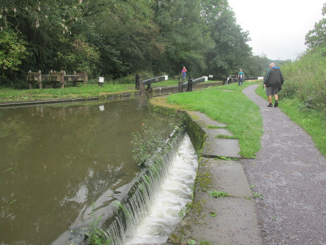
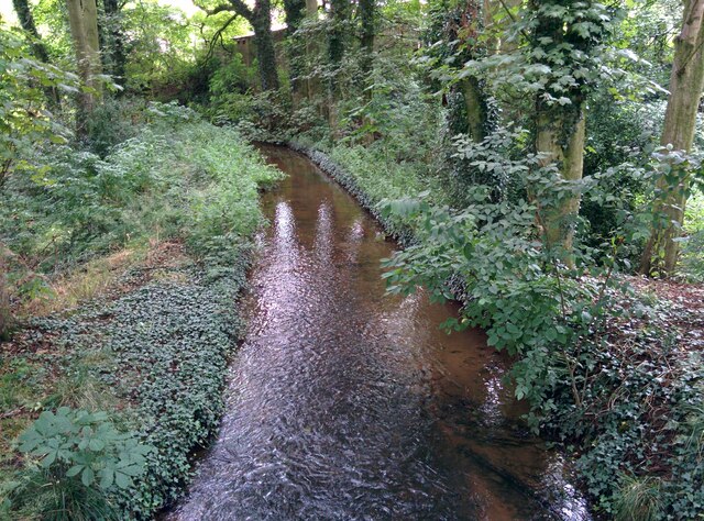
Ball Clough is a picturesque valley located in the county of Cheshire, England. Situated near the village of Rainow, it is renowned for its natural beauty and tranquil atmosphere. The valley is nestled between rolling hills and is characterized by its lush green fields, meandering streams, and dense woodlands.
The main feature of Ball Clough is its impressive waterfall, which cascades down a rocky cliff face, creating a breathtaking spectacle. The waterfall is fed by several smaller streams that flow through the valley, eventually joining together to form a larger river that meanders along its course.
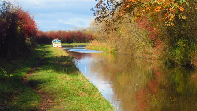
The valley is a haven for wildlife enthusiasts and nature lovers, as it is home to a diverse range of flora and fauna. Visitors can spot various bird species, including kingfishers and herons, as well as small mammals such as otters and voles. The woodland areas are filled with an array of plant life, including bluebells, wild garlic, and ferns, creating a vibrant and colorful landscape during the spring and summer months.
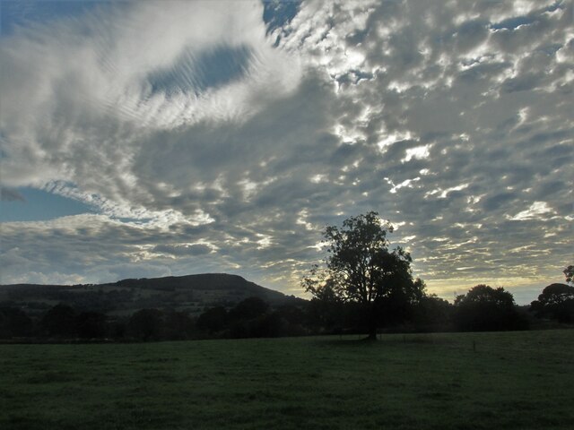
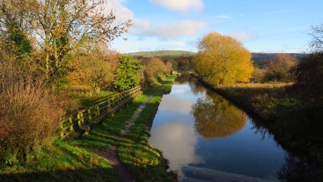
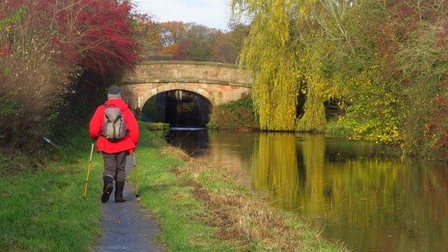
Ball Clough offers numerous walking trails and footpaths, allowing visitors to explore the valley and appreciate its natural wonders. The surrounding hills provide breathtaking views of the Cheshire countryside, making it a popular spot for hiking and photography.
Overall, Ball Clough is a hidden gem in Cheshire, offering visitors a peaceful and scenic retreat amidst nature's splendor.
If you have any feedback on the listing, please let us know in the comments section below.
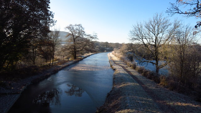
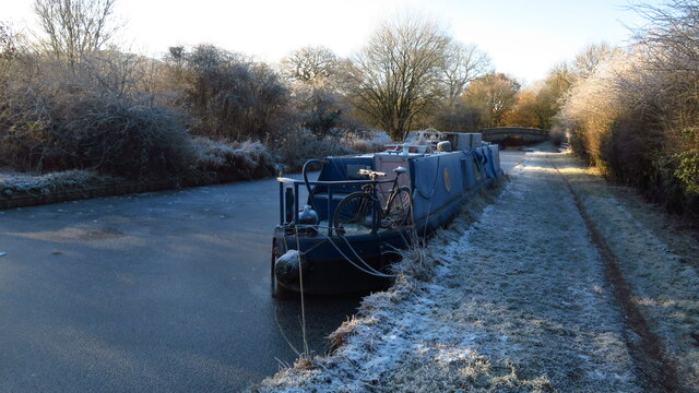
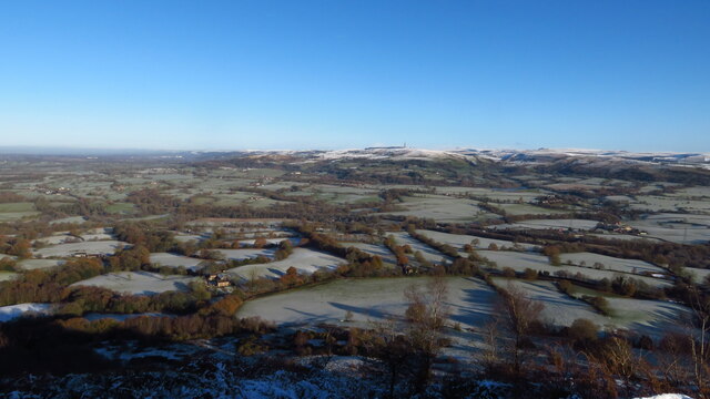
Ball Clough Images
Images are sourced within 2km of 53.189433/-2.1396522 or Grid Reference SJ9065. Thanks to Geograph Open Source API. All images are credited.
Ball Clough is located at Grid Ref: SJ9065 (Lat: 53.189433, Lng: -2.1396522)
Unitary Authority: Cheshire East
Police Authority: Cheshire
What 3 Words
///slurs.dote.novelists. Near Eaton, Cheshire
Nearby Locations
Related Wikis

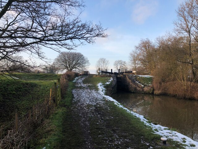
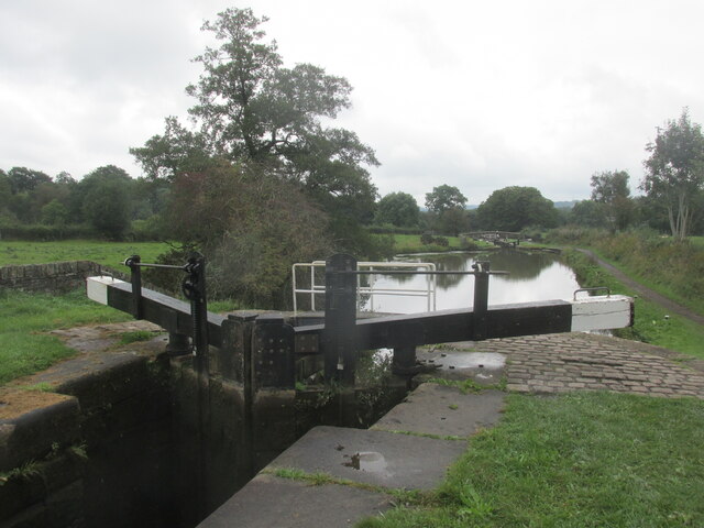
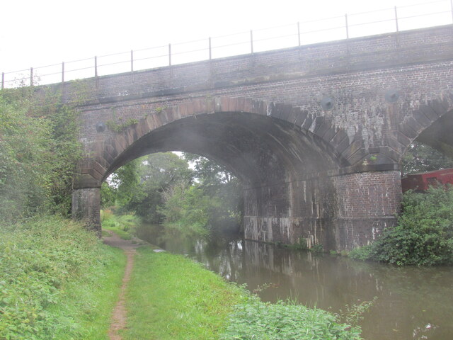
Bosley Lock Flight
Bosley Lock Flight (grid reference SJ904662) is a flight of twelve canal locks, situated on the Macclesfield Canal at Bosley, near Macclesfield, Cheshire...
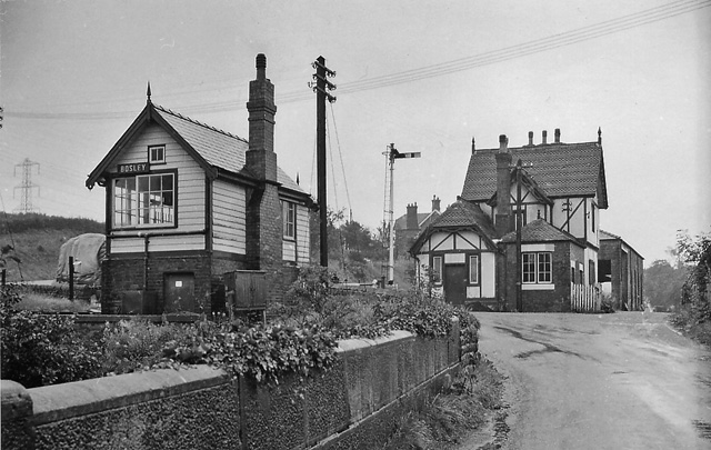
Bosley railway station
Bosley railway station served the village of Bosley, Cheshire. The station was opened by the North Staffordshire Railway in September 1849 as part of the...

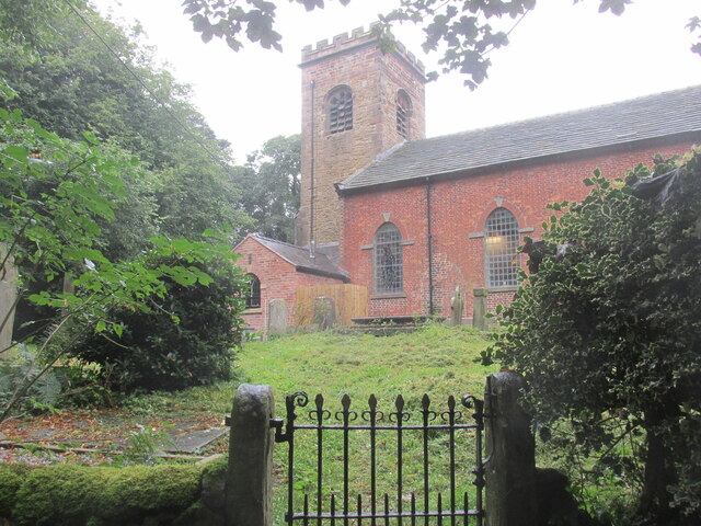
Church of St Mary the Virgin, Bosley
The Church of St Mary the Virgin is in Leek Road, Bosley, Cheshire, England. It is recorded in the National Heritage List for England as a designated Grade...
Bosley
Bosley is a village and civil parish in Cheshire, England. At the 2001 census, it had a population of 406. The village is on the A523 road near to where...

North Rode railway station
North Rode railway station originally North Rode junction served the village of North Rode, Cheshire. The station was opened by the North Staffordshire...
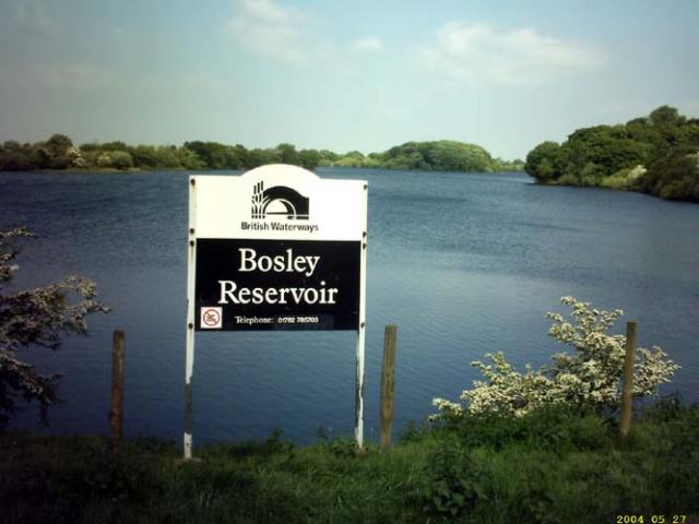
Bosley Reservoir
Bosley Reservoir is a large reservoir created to feed the Macclesfield Canal system, specifically the twelve Bosley locks. It is fed from the surrounding...

North Rode
North Rode is a small village and civil parish in the unitary authority of Cheshire East and the ceremonial county of Cheshire, England. According to the...
North Rode Manor
North Rode Manor is a country house standing to the north of the village of North Rode, Cheshire, England. The house was built between 1838 and 1840 for...
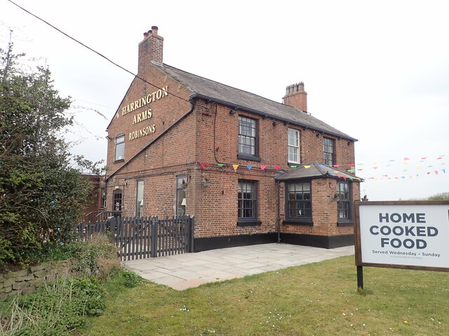
Nearby Amenities
Located within 500m of 53.189433,-2.1396522Have you been to Ball Clough?
Leave your review of Ball Clough below (or comments, questions and feedback).