Pecker Pool
Lake, Pool, Pond, Freshwater Marsh in Cheshire
England
Pecker Pool
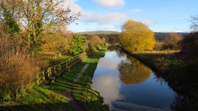
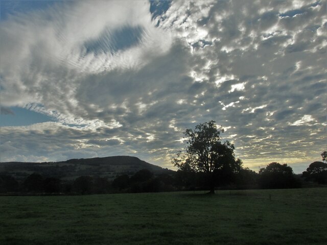
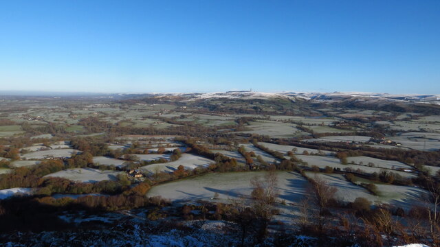
Pecker Pool, located in Cheshire, England, is a picturesque freshwater marsh encompassing an area of approximately 10 acres. It is widely regarded as a significant ecological site due to its diverse range of flora and fauna. The pool is surrounded by lush greenery and is nestled within a tranquil landscape, making it a popular destination for nature enthusiasts and wildlife photographers alike.
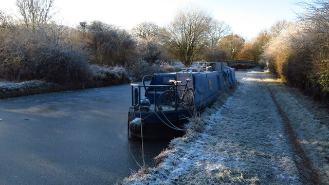
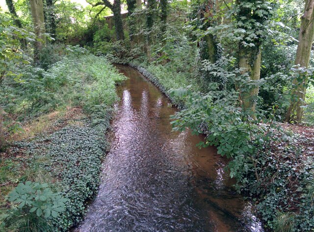
The pool itself is a shallow body of water that serves as a habitat for a variety of aquatic plants and animals. It is fed by several small streams and springs, ensuring a constant flow of fresh water. The water is generally clear and calm, making it an ideal breeding ground for various fish species such as roach, perch, and pike.
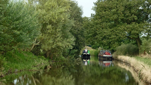
The pool's surrounding vegetation comprises a mix of reeds, rushes, and water lilies, creating a vibrant and visually appealing environment. This diverse plant life also attracts a wide array of bird species, including herons, ducks, and swans, which can often be observed gracefully gliding across the water.
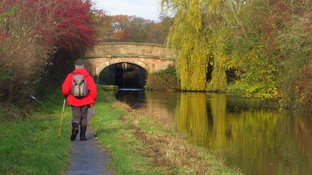
Pecker Pool is not only a haven for wildlife but also a popular destination for recreational activities. Visitors can enjoy leisurely walks along the designated footpaths that encircle the pool, providing excellent viewpoints for observing the abundant wildlife. The pool also offers opportunities for fishing enthusiasts, who can try their luck in catching the various fish species that inhabit its waters.
Overall, Pecker Pool in Cheshire offers a serene and idyllic setting for nature lovers, providing a unique opportunity to immerse oneself in the beauty of a freshwater marsh ecosystem and experience the wonders of the natural world.
If you have any feedback on the listing, please let us know in the comments section below.
Pecker Pool Images
Images are sourced within 2km of 53.187414/-2.1441951 or Grid Reference SJ9065. Thanks to Geograph Open Source API. All images are credited.

Pecker Pool is located at Grid Ref: SJ9065 (Lat: 53.187414, Lng: -2.1441951)
Unitary Authority: Cheshire East
Police Authority: Cheshire
What 3 Words
///astounded.shred.rungs. Near Eaton, Cheshire
Nearby Locations
Related Wikis

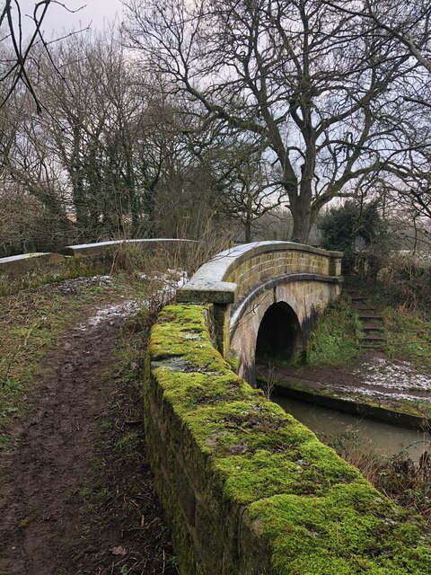
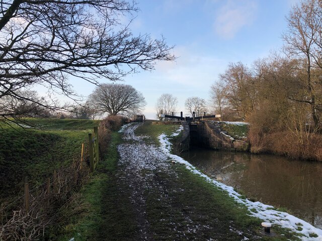
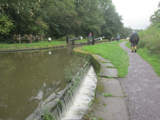
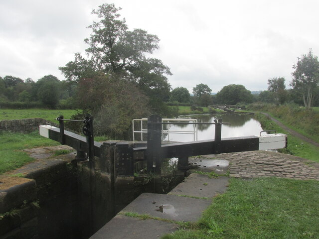
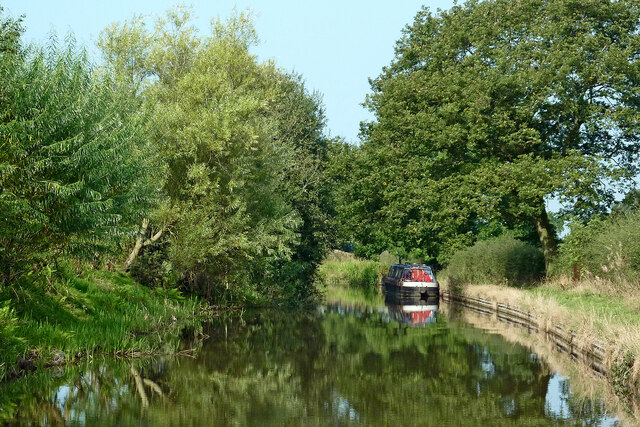
Bosley Lock Flight
Bosley Lock Flight (grid reference SJ904662) is a flight of twelve canal locks, situated on the Macclesfield Canal at Bosley, near Macclesfield, Cheshire...
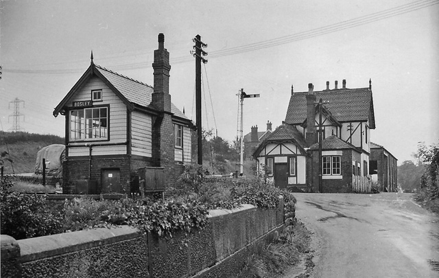
Bosley railway station
Bosley railway station served the village of Bosley, Cheshire. The station was opened by the North Staffordshire Railway in September 1849 as part of the...

North Rode railway station
North Rode railway station originally North Rode junction served the village of North Rode, Cheshire. The station was opened by the North Staffordshire...

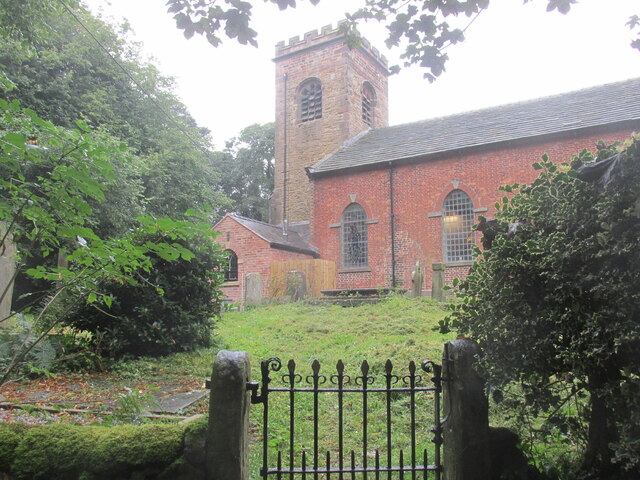
Church of St Mary the Virgin, Bosley
The Church of St Mary the Virgin is in Leek Road, Bosley, Cheshire, England. It is recorded in the National Heritage List for England as a designated Grade...
Bosley
Bosley is a village and civil parish in Cheshire, England. At the 2001 census, it had a population of 406. The village is on the A523 road near to where...

North Rode
North Rode is a small village and civil parish in the unitary authority of Cheshire East and the ceremonial county of Cheshire, England. According to the...

St Michael's Church, North Rode
St Michael's Church is in Church Lane, North Rode, Cheshire, England. It is an active Anglican parish church in the deanery of Macclesfield, the archdeaconry...
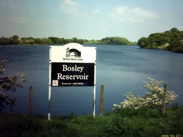
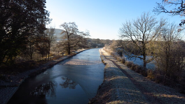
Bosley Reservoir
Bosley Reservoir is a large reservoir created to feed the Macclesfield Canal system, specifically the twelve Bosley locks. It is fed from the surrounding...
Nearby Amenities
Located within 500m of 53.187414,-2.1441951Have you been to Pecker Pool?
Leave your review of Pecker Pool below (or comments, questions and feedback).