Peckerpool Wood
Wood, Forest in Cheshire
England
Peckerpool Wood
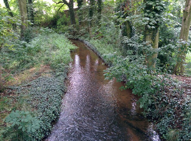
Peckerpool Wood is a picturesque woodland located in the county of Cheshire, England. Covering an area of approximately 100 acres, it is a thriving example of a mixed deciduous forest. The wood is situated near the village of Peckerpool and is easily accessible from nearby towns and cities.
The wood is renowned for its diverse range of tree species, including oak, beech, birch, and ash. These towering giants create a dense canopy, casting shadows and providing a peaceful and cool environment for visitors. The woodland floor is carpeted with a rich variety of plants, such as bluebells, wood anemones, and ferns, which add to the area's natural beauty.
Peckerpool Wood is home to numerous wildlife species, making it a popular destination for nature enthusiasts and birdwatchers. Visitors can spot a variety of birds, including woodpeckers, owls, and various songbirds. Mammals such as foxes, badgers, and deer also reside within the wood, adding to its ecological significance.
The wood offers several walking trails, allowing visitors to explore its enchanting surroundings. These paths wind through the forest, passing by tranquil ponds and babbling brooks, creating a serene and peaceful atmosphere. There are also designated picnic areas where visitors can relax and enjoy the natural surroundings.
Peckerpool Wood is managed by the local conservation authority, ensuring the preservation of its natural habitat. The wood serves as an important ecological site, providing a haven for wildlife and a place for people to connect with nature. Its beauty and tranquility make it a cherished destination for locals and tourists alike.
If you have any feedback on the listing, please let us know in the comments section below.
Peckerpool Wood Images
Images are sourced within 2km of 53.187855/-2.1434483 or Grid Reference SJ9065. Thanks to Geograph Open Source API. All images are credited.

Peckerpool Wood is located at Grid Ref: SJ9065 (Lat: 53.187855, Lng: -2.1434483)
Unitary Authority: Cheshire East
Police Authority: Cheshire
What 3 Words
///yummy.bloom.tidying. Near Eaton, Cheshire
Nearby Locations
Related Wikis

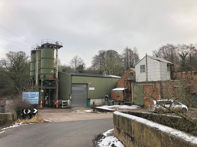
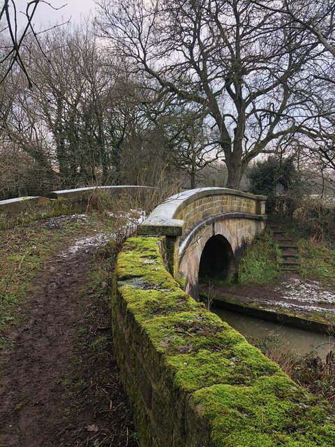
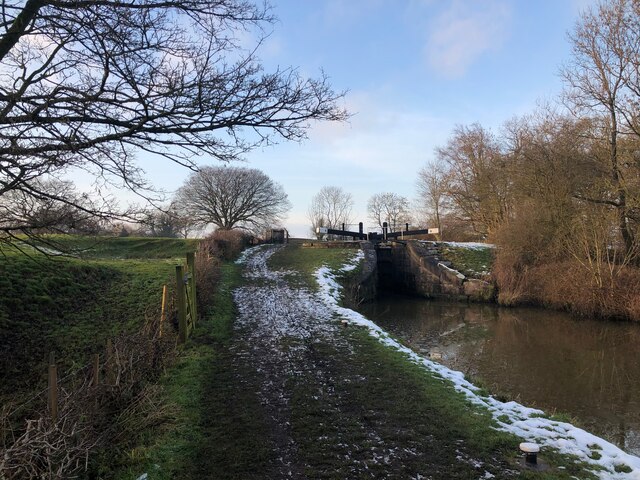
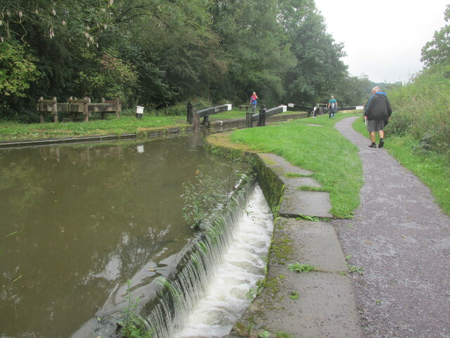
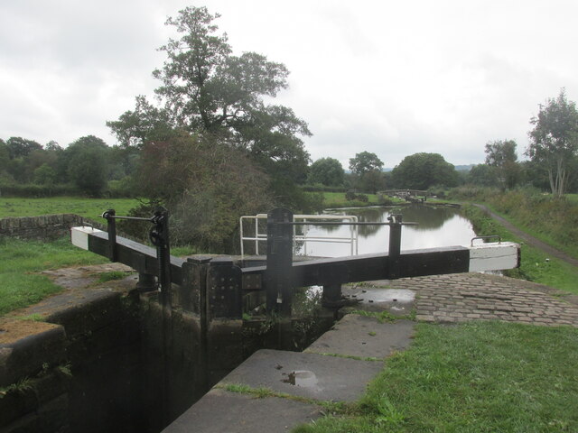
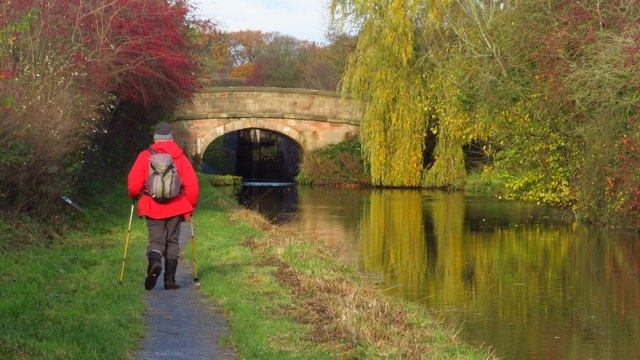
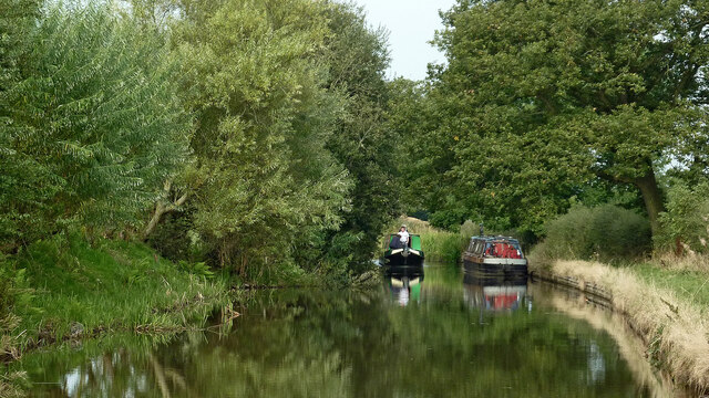
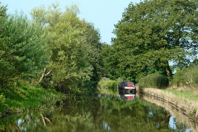
Bosley Lock Flight
Bosley Lock Flight (grid reference SJ904662) is a flight of twelve canal locks, situated on the Macclesfield Canal at Bosley, near Macclesfield, Cheshire...
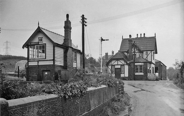
Bosley railway station
Bosley railway station served the village of Bosley, Cheshire. The station was opened by the North Staffordshire Railway in September 1849 as part of the...

North Rode railway station
North Rode railway station originally North Rode junction served the village of North Rode, Cheshire. The station was opened by the North Staffordshire...

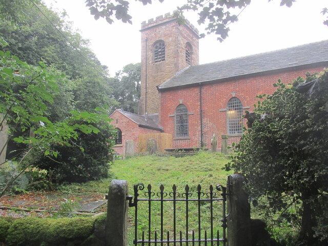
Church of St Mary the Virgin, Bosley
The Church of St Mary the Virgin is in Leek Road, Bosley, Cheshire, England. It is recorded in the National Heritage List for England as a designated Grade...
Bosley
Bosley is a village and civil parish in Cheshire, England. At the 2001 census, it had a population of 406. The village is on the A523 road near to where...
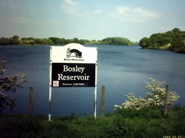
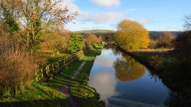
Bosley Reservoir
Bosley Reservoir is a large reservoir created to feed the Macclesfield Canal system, specifically the twelve Bosley locks. It is fed from the surrounding...

North Rode
North Rode is a small village and civil parish in the unitary authority of Cheshire East and the ceremonial county of Cheshire, England. According to the...

St Michael's Church, North Rode
St Michael's Church is in Church Lane, North Rode, Cheshire, England. It is an active Anglican parish church in the deanery of Macclesfield, the archdeaconry...
Nearby Amenities
Located within 500m of 53.187855,-2.1434483Have you been to Peckerpool Wood?
Leave your review of Peckerpool Wood below (or comments, questions and feedback).