Paul Clough
Valley in Lancashire Burnley
England
Paul Clough
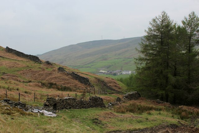
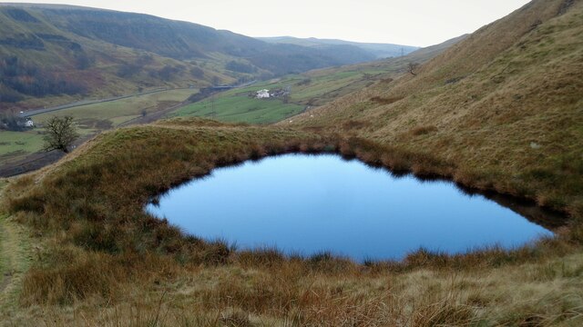
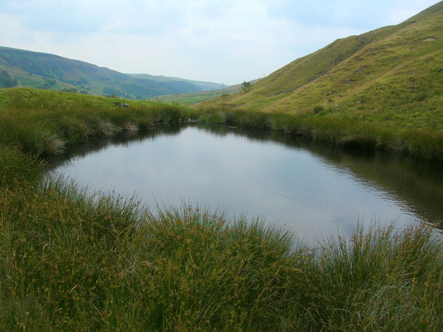
Paul Clough is a scenic and serene valley located in Lancashire, England. Nestled within the Pennine Hills, this picturesque area is renowned for its natural beauty and tranquility, attracting nature enthusiasts and hikers alike.
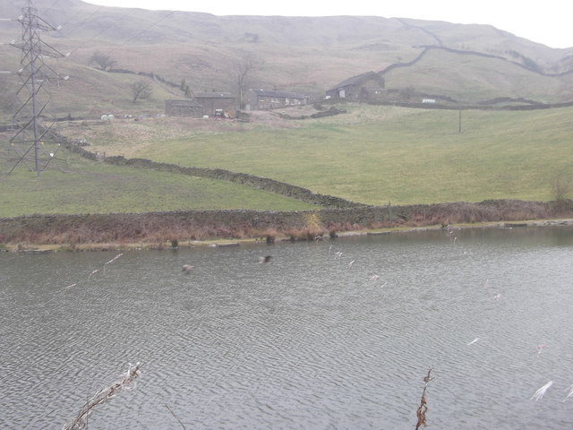
Surrounded by dense woodlands, Paul Clough offers a refreshing escape from the hustle and bustle of urban life. The valley is home to a diverse range of flora and fauna, with ancient oak trees, vibrant wildflowers, and various bird species being common sights. The meandering stream that flows through the valley adds to its charm, providing a peaceful soundtrack to visitors' explorations.
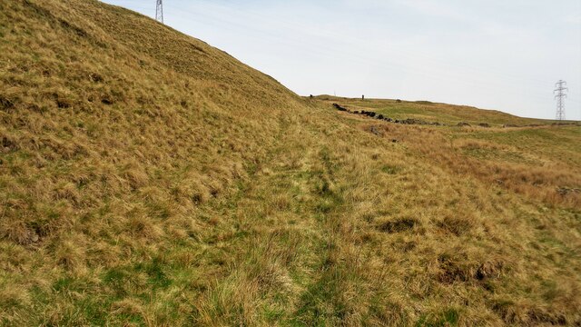
The valley's well-maintained footpaths and trails allow visitors to immerse themselves in its natural splendor. Hikers can enjoy a range of difficulty levels, from leisurely strolls along the valley floor to more challenging uphill climbs. The higher points of the valley provide breathtaking panoramic views of the surrounding countryside, rewarding those who venture to the top.
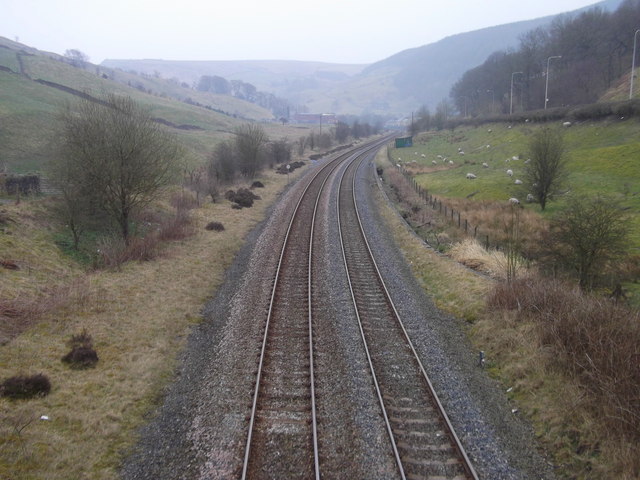
Paul Clough also holds historical significance, with remnants of old packhorse routes and stone walls dating back centuries. These remnants serve as a reminder of the valley's past as an important trade route during the Industrial Revolution.
For those seeking a peaceful retreat in nature, Paul Clough is an idyllic destination. Its stunning landscapes, diverse wildlife, and rich history make it a must-visit location for anyone exploring Lancashire.
If you have any feedback on the listing, please let us know in the comments section below.
Paul Clough Images
Images are sourced within 2km of 53.74534/-2.1415984 or Grid Reference SD9027. Thanks to Geograph Open Source API. All images are credited.


Paul Clough is located at Grid Ref: SD9027 (Lat: 53.74534, Lng: -2.1415984)
Administrative County: Lancashire
District: Burnley
Police Authority: Lancashire
What 3 Words
///beakers.hacking.scrubbing. Near Cornholme, West Yorkshire
Nearby Locations
Related Wikis

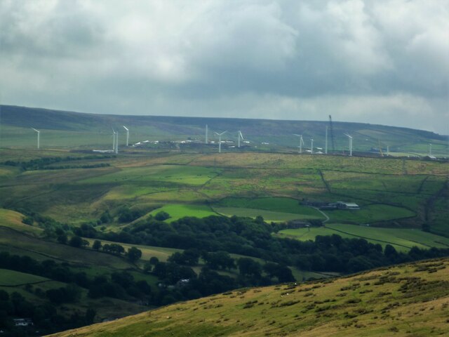
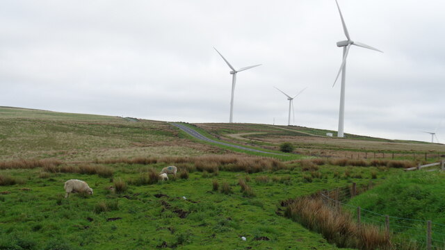
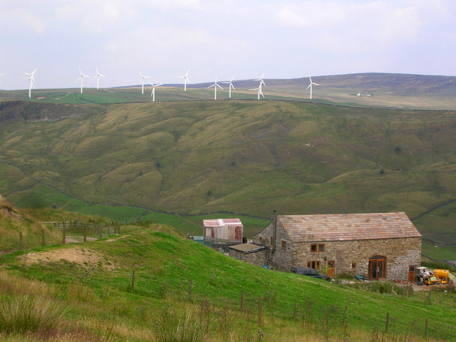
Coal Clough Wind Farm
Coal Clough Wind Farm is one of the oldest onshore wind farms in England. The wind farm, which was built for Scottish Power, produced electricity from...

Pudsey, Calderdale
Pudsey is a neighbourhood in the village of Cornholme, Calderdale, West Yorkshire, England. It is near the town of Todmorden and the A646 Burnley Road...

Cornholme
Cornholme is a village near Todmorden, in the metropolitan borough of Calderdale, in West Yorkshire, England. It lies at the edge of Calderdale, on the...

Cornholme railway station
Cornholme railway station served the village of Cornholme in West Yorkshire, England on the Copy Pit line. The station was opened by the Lancashire and...

Portsmouth (Lancs) railway station
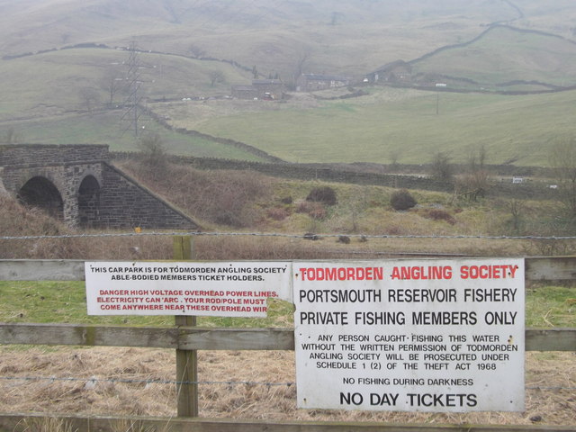
Portsmouth railway station was on the Copy Pit line and served the village of Portsmouth, which was part of Lancashire, before being incorporated into...

Portsmouth, West Yorkshire
Portsmouth is a village on the A646 road in the Calderdale district, in the county of West Yorkshire, England. Nearby settlements include the towns of...
Hill Top Colliery
The Hill Top Colliery in Sharneyford between Bacup and Todmorden was, until 2014, the last coal mine still in operation in Lancashire. == Foundation... ==

Holme Hall, Cliviger
Holme Hall (or The Holme) is a Grade II* listed manor house in Cliviger near Burnley, in Lancashire, England. The house dates back to at least the 15th...
Nearby Amenities
Located within 500m of 53.74534,-2.1415984Have you been to Paul Clough?
Leave your review of Paul Clough below (or comments, questions and feedback).