Coal Clough
Valley in Lancashire Burnley
England
Coal Clough
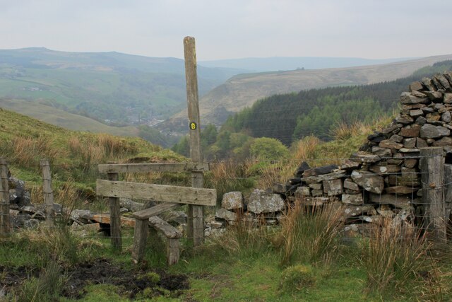
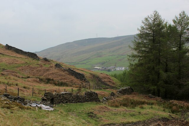
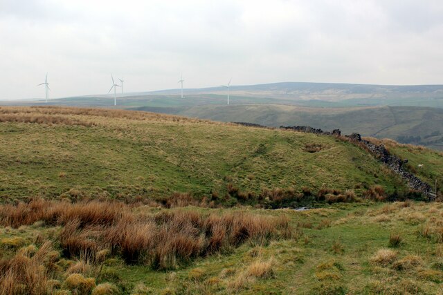
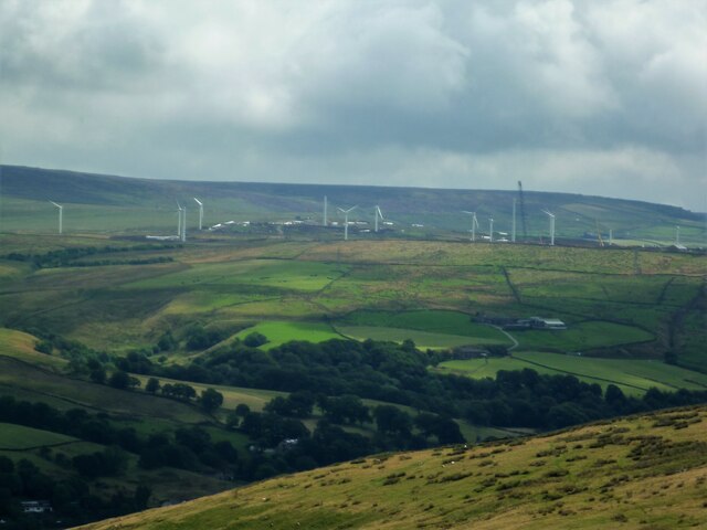
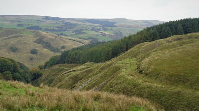
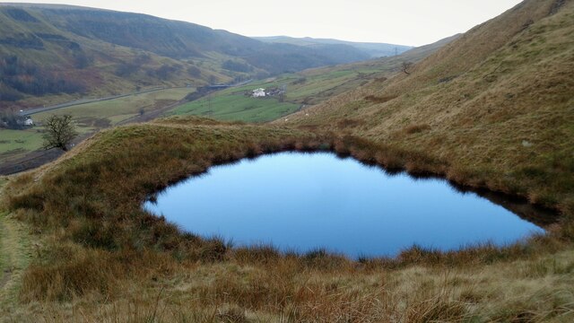
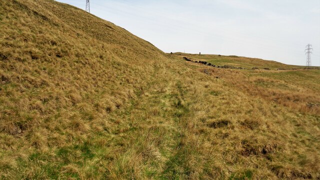
Coal Clough is a small valley located in the borough of Burnley, Lancashire, in the northwest of England. It is situated within the larger Cliviger Valley and is known for its rich coal mining history. The valley is surrounded by rolling hills and picturesque countryside, offering breathtaking views and a peaceful atmosphere.
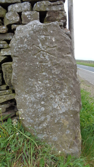
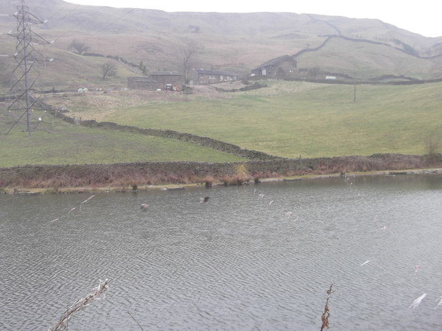
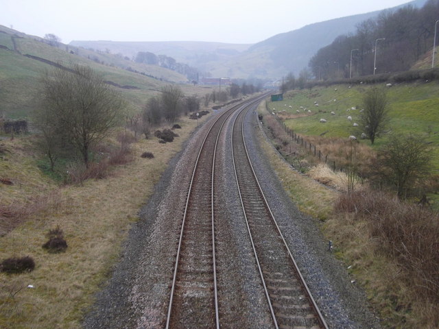
Coal Clough was once a thriving mining community, with several coal mines operating in the area during the 19th and early 20th centuries. The valley was a hub of industrial activity, with numerous collieries and associated infrastructure, including rail lines, pithead baths, and workers' housing.
Today, the mining industry has declined, and the coal mines that once populated the valley have closed. However, remnants of this industrial past can still be seen, such as old mine shafts and disused buildings. The area has undergone regeneration efforts, with former industrial sites repurposed for other uses.
Despite its industrial history, Coal Clough now offers a tranquil and picturesque setting for residents and visitors alike. The valley is ideal for outdoor activities such as hiking, cycling, and wildlife spotting. The surrounding hills provide ample opportunities for exploration and offer stunning views of the Lancashire countryside.
Coal Clough is also home to a small community, with a primary school, a church, and a community center serving the local residents. Although it is situated in a rural area, the valley is well-connected to nearby towns and cities, making it an attractive place to live for those seeking a balance between rural and urban lifestyles.
If you have any feedback on the listing, please let us know in the comments section below.
Coal Clough Images
Images are sourced within 2km of 53.744812/-2.1472523 or Grid Reference SD9027. Thanks to Geograph Open Source API. All images are credited.


Coal Clough is located at Grid Ref: SD9027 (Lat: 53.744812, Lng: -2.1472523)
Administrative County: Lancashire
District: Burnley
Police Authority: Lancashire
What 3 Words
///sweeter.ripen.comply. Near Cornholme, West Yorkshire
Nearby Locations
Related Wikis

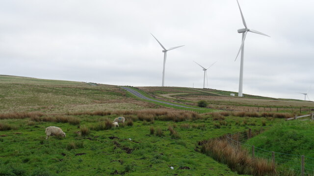
Coal Clough Wind Farm
Coal Clough Wind Farm is one of the oldest onshore wind farms in England. The wind farm, which was built for Scottish Power, produced electricity from...

Pudsey, Calderdale
Pudsey is a neighbourhood in the village of Cornholme, Calderdale, West Yorkshire, England. It is near the town of Todmorden and the A646 Burnley Road...

Cornholme
Cornholme is a village near Todmorden, in the metropolitan borough of Calderdale, in West Yorkshire, England. It lies at the edge of Calderdale, on the...

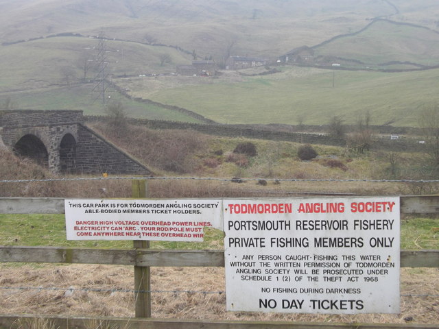
Portsmouth (Lancs) railway station
Portsmouth railway station was on the Copy Pit line and served the village of Portsmouth, which was part of Lancashire, before being incorporated into...

Portsmouth, West Yorkshire
Portsmouth is a village on the A646 road in the Calderdale district, in the county of West Yorkshire, England. Nearby settlements include the towns of...

Cornholme railway station
Cornholme railway station served the village of Cornholme in West Yorkshire, England on the Copy Pit line. The station was opened by the Lancashire and...
Hill Top Colliery
The Hill Top Colliery in Sharneyford between Bacup and Todmorden was, until 2014, the last coal mine still in operation in Lancashire. == Foundation... ==

Holme Hall, Cliviger
Holme Hall (or The Holme) is a Grade II* listed manor house in Cliviger near Burnley, in Lancashire, England. The house dates back to at least the 15th...
Nearby Amenities
Located within 500m of 53.744812,-2.1472523Have you been to Coal Clough?
Leave your review of Coal Clough below (or comments, questions and feedback).