Chalford Bottom
Valley in Gloucestershire Stroud
England
Chalford Bottom

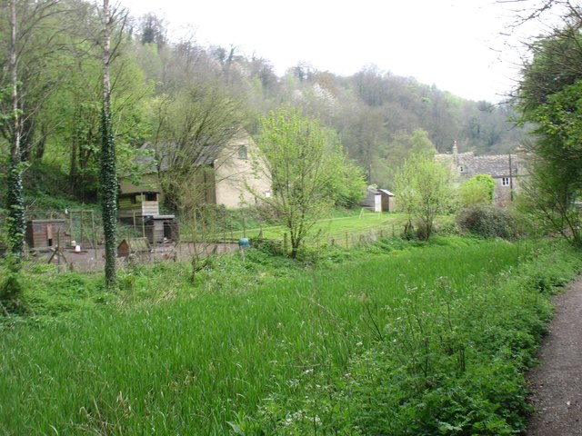
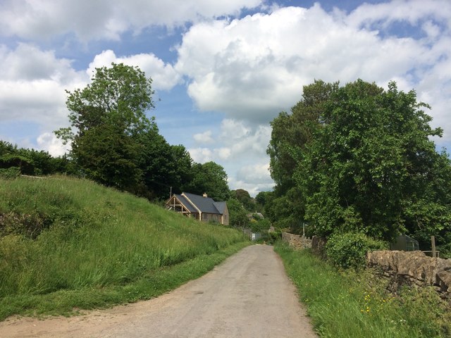
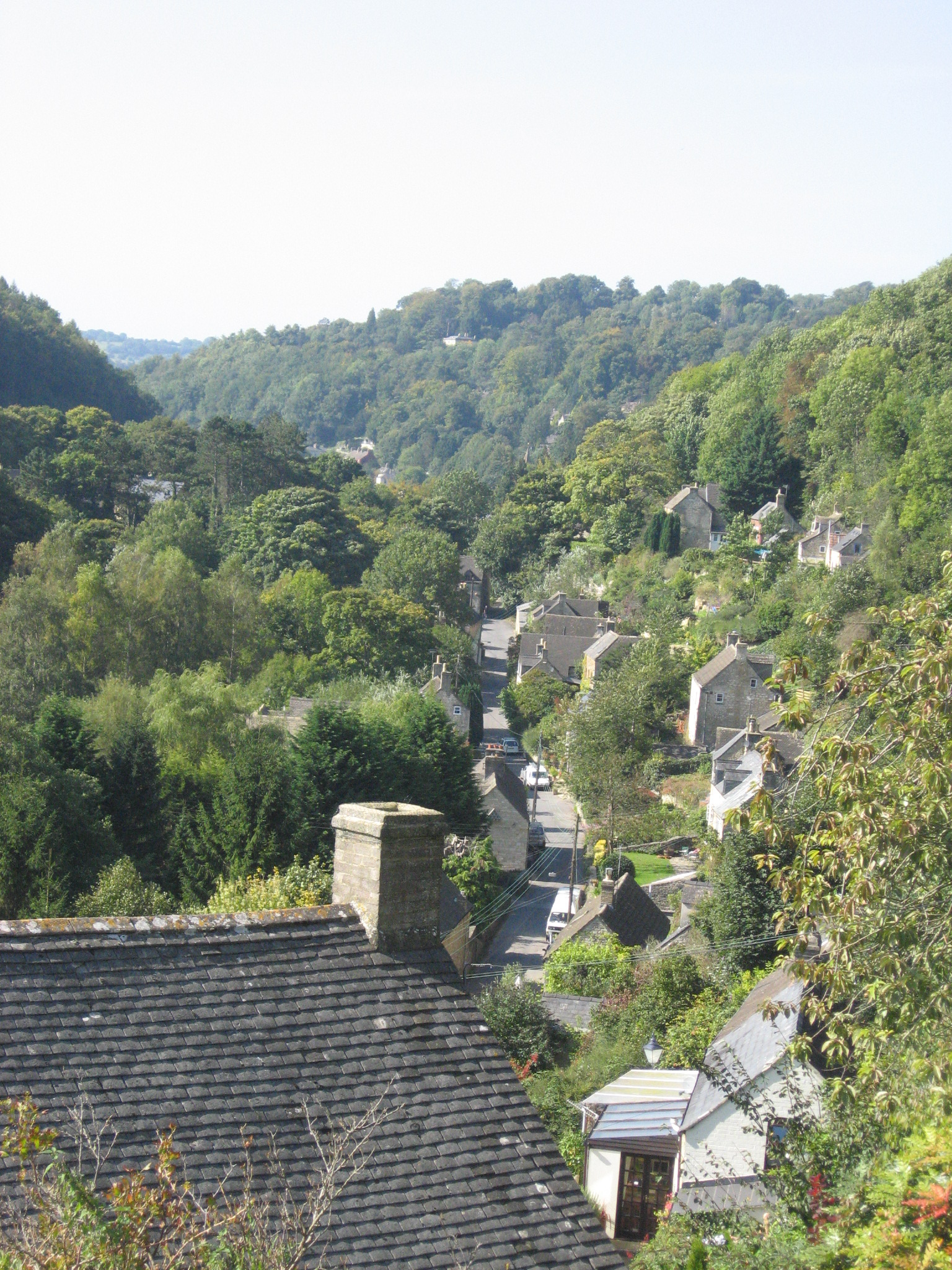
Chalford Bottom is a picturesque valley located in Gloucestershire, England. Situated near the village of Chalford, it is renowned for its natural beauty and tranquil surroundings. The valley is nestled within the Cotswolds, an Area of Outstanding Natural Beauty, which further enhances its charm.
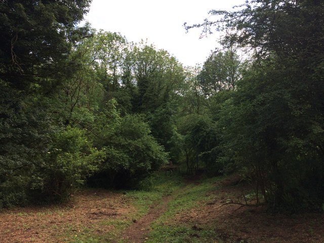
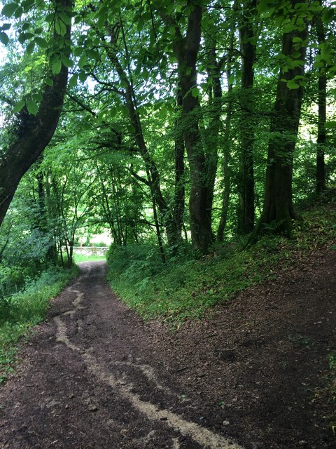
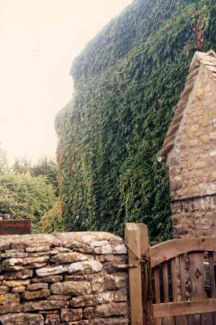
Chalford Bottom is characterized by rolling hills, lush green meadows, and dense woodlands, offering visitors a delightful escape into nature. The valley is traversed by the River Frome, which meanders through its heart, adding to the scenic appeal. The river also provides opportunities for recreational activities like fishing and boating.
The area is home to an abundance of wildlife, including various bird species, deer, and foxes. Nature enthusiasts can enjoy peaceful walks along the numerous trails that crisscross the valley, taking in breathtaking views and discovering the diverse flora and fauna.
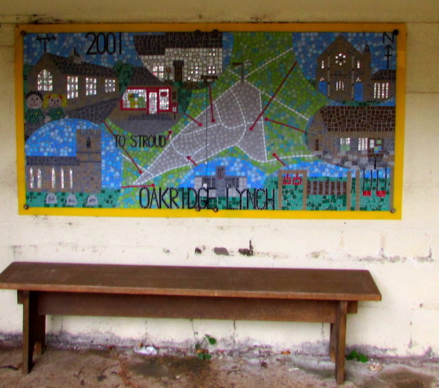
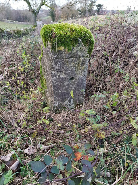
Chalford Bottom also boasts a rich history. The remnants of old mills and weavers' cottages can still be found, serving as a reminder of the area's industrial past. The valley was once a thriving hub of the textile industry, with numerous mills producing cloth from the locally sourced wool.
Today, Chalford Bottom offers a serene retreat for residents and visitors alike. Its idyllic setting, combined with its proximity to the charming village of Chalford, makes it a sought-after destination for those seeking tranquility and natural beauty in the heart of Gloucestershire.
If you have any feedback on the listing, please let us know in the comments section below.
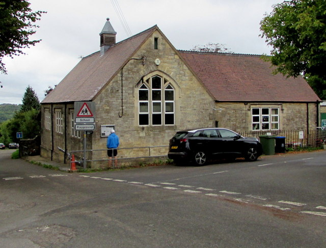
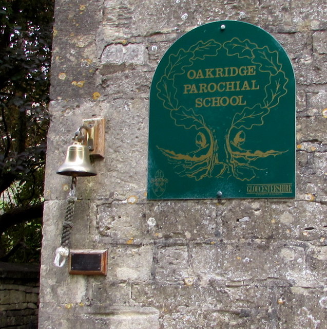
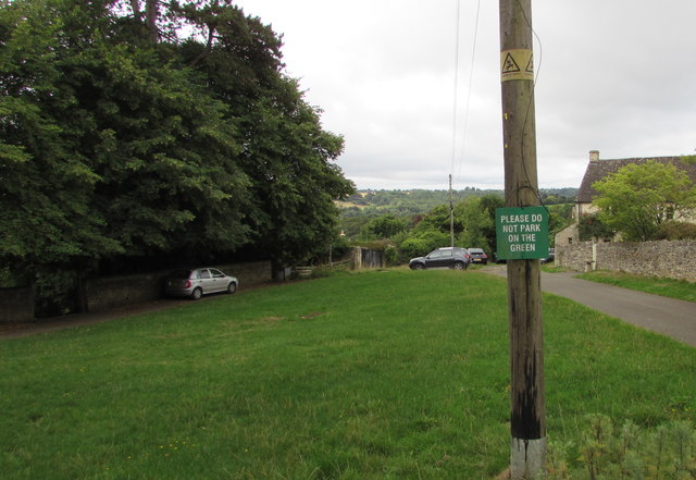
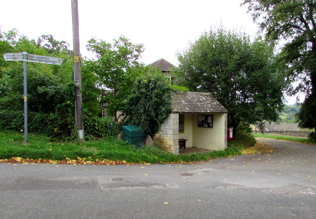
Chalford Bottom Images
Images are sourced within 2km of 51.720415/-2.1514738 or Grid Reference SO8902. Thanks to Geograph Open Source API. All images are credited.


Chalford Bottom is located at Grid Ref: SO8902 (Lat: 51.720415, Lng: -2.1514738)
Administrative County: Gloucestershire
District: Stroud
Police Authority: Gloucestershire
What 3 Words
///officers.workflow.courier. Near Chalford, Gloucestershire
Nearby Locations
Related Wikis

Chalford railway station
Chalford railway station was situated on the Great Western Railway's Golden Valley Line, between Swindon and Gloucester. It was just east of the bridge...
Chalford
Chalford is a large village in the Frome Valley of the Cotswolds in Gloucestershire, England. It is to the southeast of Stroud about four miles (six kilometres...

St Mary's Crossing Halt railway station
St Mary's Crossing Halt was opened on 12 October 1903 on what is now the Golden Valley Line between Kemble and Stroud. This line was opened in 1845 as...

Bussage
Bussage is a village in Gloucestershire, England in the district of Stroud. == Geography == There is an older part to the village and a newer part. The...
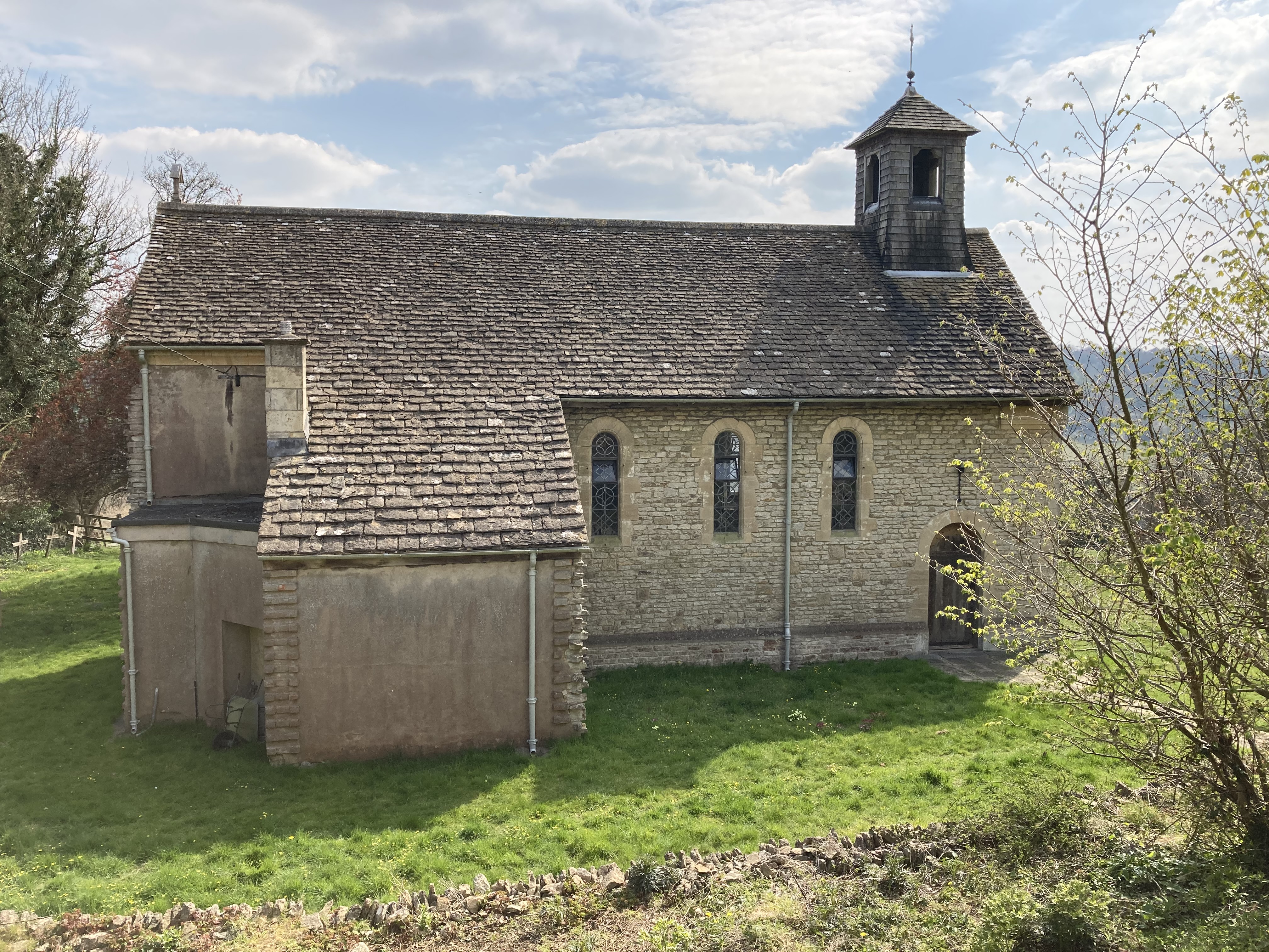
St Mary of the Angels Church, Brownshill
St Mary of the Angels Church is located to the south of the village of Brownshill in the parish of Chalford, Gloucestershire, England. It is a redundant...

Strawberry Banks
Strawberry Banks (grid reference SO910033) is a 5.06-hectare (12.5-acre) biological Site of Special Scientific Interest in Gloucestershire, notified in...

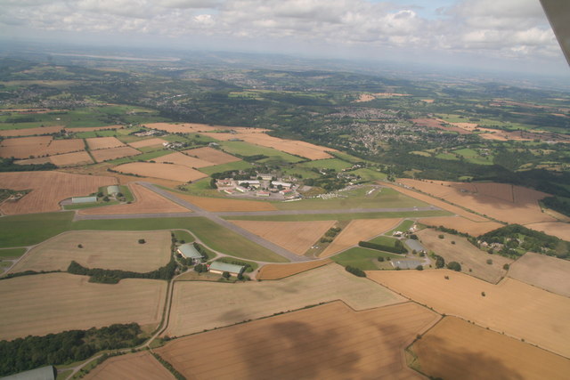
Cotswold Gliding Club
The Cotswold Gliding Club (CGC) is based at Aston Down airfield, between Cirencester and Stroud in Gloucestershire, South West England. The club maintains...

Three Groves Wood
Three Groves Wood (grid reference SO912029) is a 3.3-hectare (8.2-acre) nature reserve in Gloucestershire. The site is listed in the ‘Stroud District’...
Related Videos


Nearby Amenities
Located within 500m of 51.720415,-2.1514738Have you been to Chalford Bottom?
Leave your review of Chalford Bottom below (or comments, questions and feedback).