Cowcombe Wood
Wood, Forest in Gloucestershire Stroud
England
Cowcombe Wood

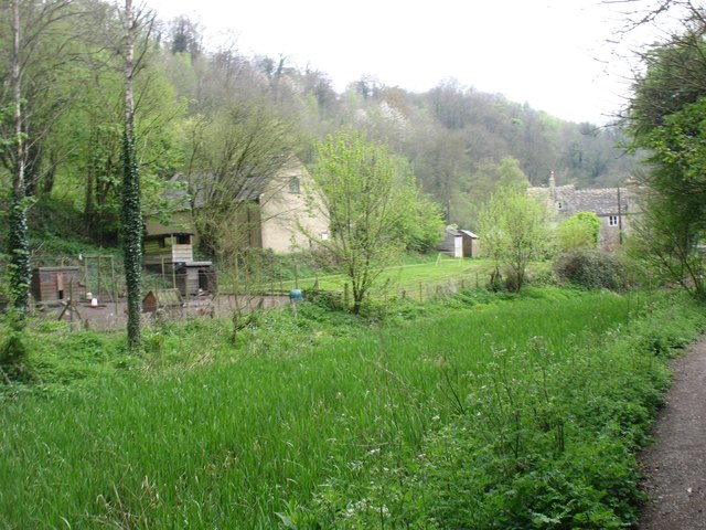
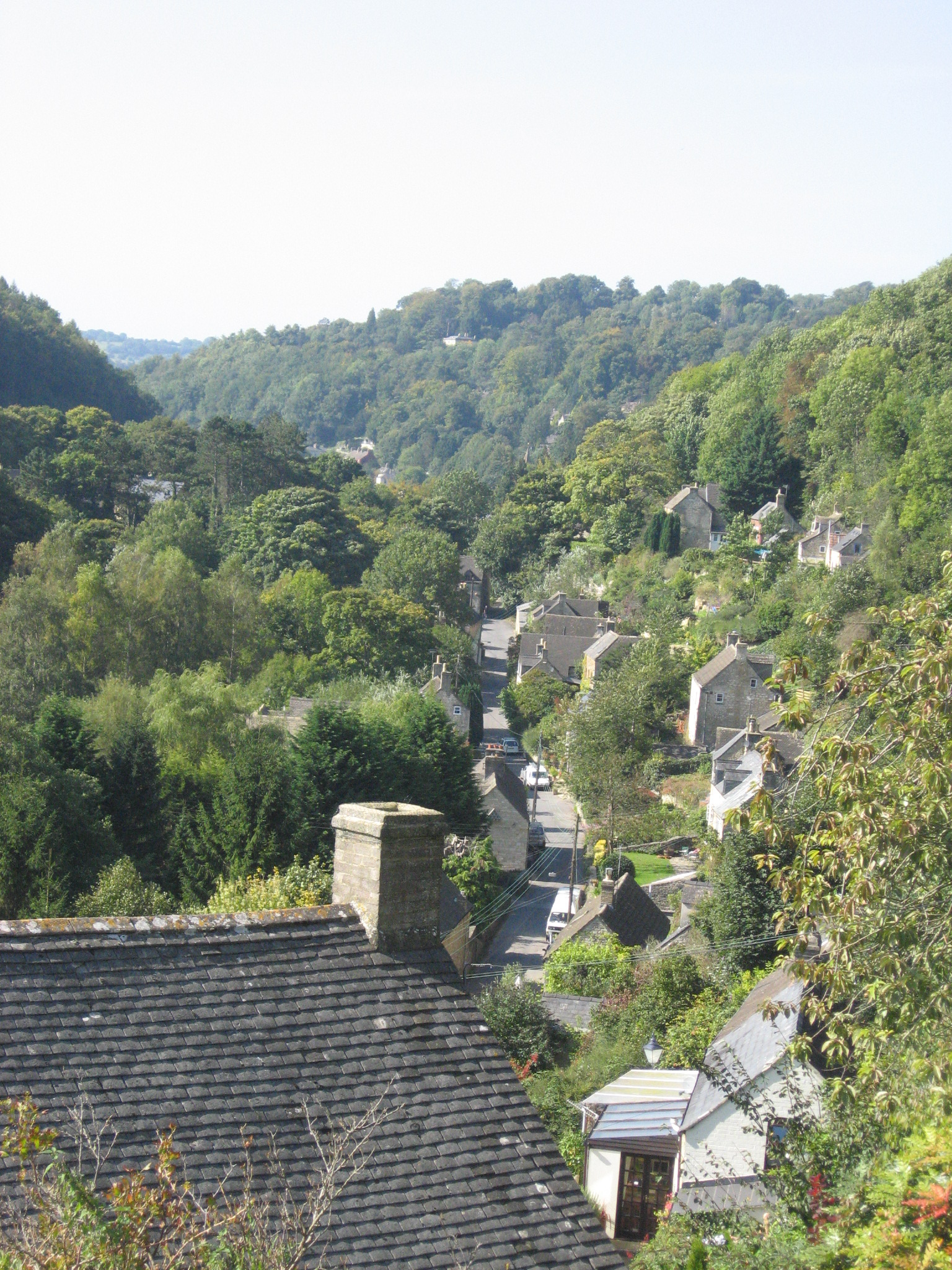
Cowcombe Wood is a picturesque woodland located in the county of Gloucestershire, England. It is situated in the Cotswolds Area of Outstanding Natural Beauty, just a few miles south of the town of Stroud. Covering an area of approximately 100 acres, Cowcombe Wood is a popular destination for nature enthusiasts, walkers, and those seeking a peaceful escape from the bustle of urban life.
The woodland is predominantly made up of native broadleaf species, including oak, beech, and ash trees, which create a dense canopy overhead. These trees provide a habitat for a variety of wildlife, including birds, mammals, and insects. Visitors to the woods may catch a glimpse of woodland birds such as woodpeckers, nuthatches, and treecreepers, or spot elusive mammals like deer and foxes.
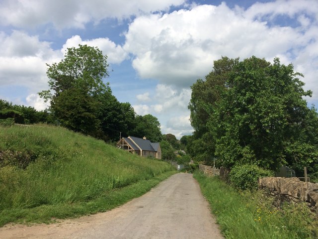
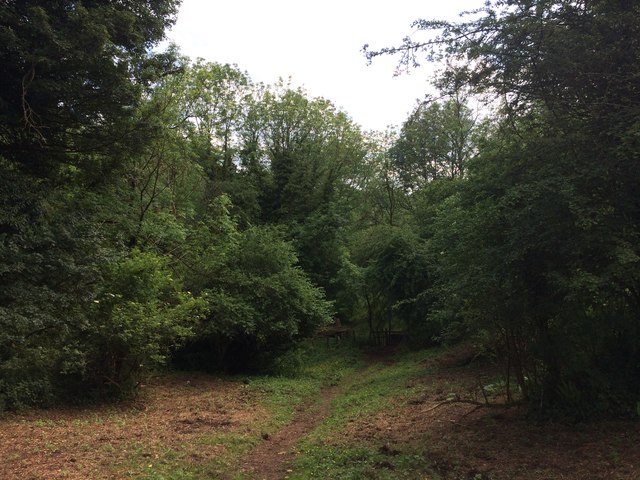
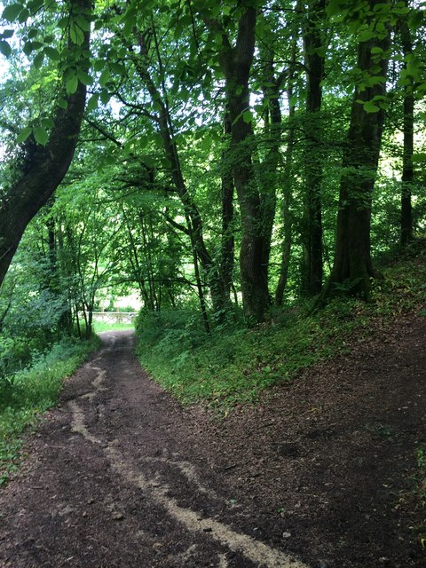
Cowcombe Wood is crisscrossed with a network of well-maintained footpaths, allowing visitors to explore the area at their own pace. The trails wind through the woodland, passing by tranquil streams and small ponds, which provide a home for frogs, newts, and other aquatic life. In springtime, the forest floor comes alive with a carpet of bluebells, creating a stunning display of color and fragrance.
The wood is managed by a local conservation trust, ensuring that it remains a haven for wildlife and a peaceful retreat for visitors. There are no facilities within the wood itself, but nearby villages offer amenities such as parking, picnic areas, and public toilets.
Overall, Cowcombe Wood offers a tranquil and enchanting experience for those seeking to connect with nature in the heart of Gloucestershire.
If you have any feedback on the listing, please let us know in the comments section below.
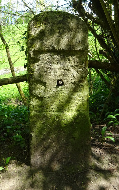
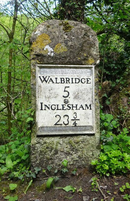
Cowcombe Wood Images
Images are sourced within 2km of 51.718766/-2.1478928 or Grid Reference SO8902. Thanks to Geograph Open Source API. All images are credited.


Cowcombe Wood is located at Grid Ref: SO8902 (Lat: 51.718766, Lng: -2.1478928)
Administrative County: Gloucestershire
District: Stroud
Police Authority: Gloucestershire
What 3 Words
///cushy.teacher.leans. Near Chalford, Gloucestershire
Nearby Locations
Related Wikis
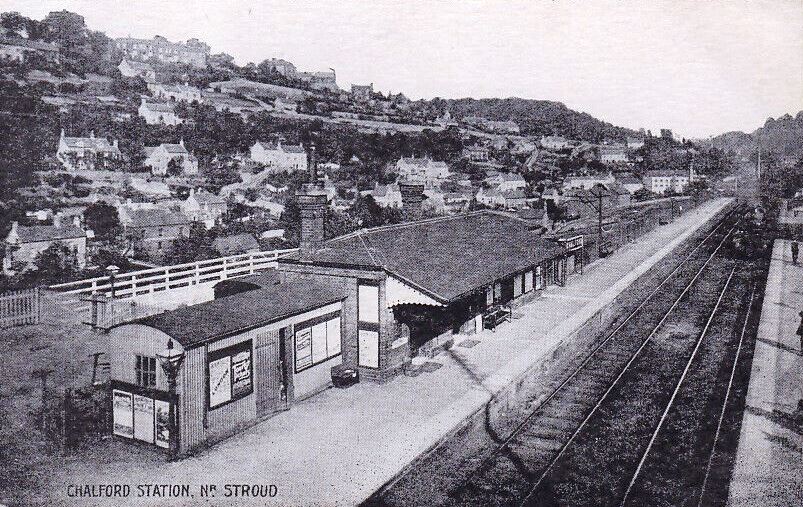
Chalford railway station
Chalford railway station was situated on the Great Western Railway's Golden Valley Line, between Swindon and Gloucester. It was just east of the bridge...
Chalford
Chalford is a large village in the Frome Valley of the Cotswolds in Gloucestershire, England. It is to the southeast of Stroud about four miles (six kilometres...

St Mary's Crossing Halt railway station
St Mary's Crossing Halt was opened on 12 October 1903 on what is now the Golden Valley Line between Kemble and Stroud. This line was opened in 1845 as...

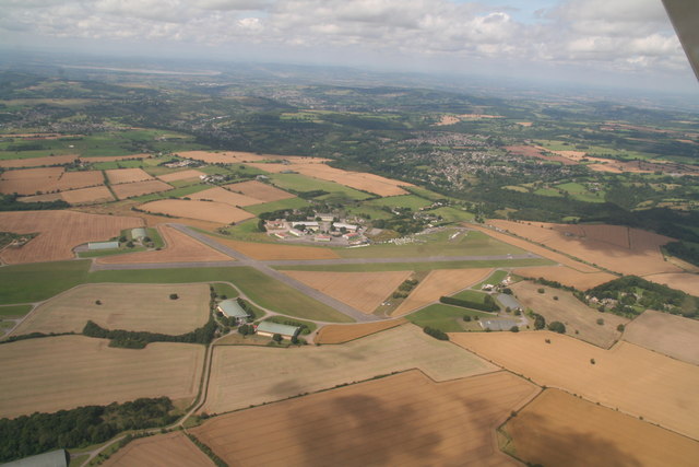
Cotswold Gliding Club
The Cotswold Gliding Club (CGC) is based at Aston Down airfield, between Cirencester and Stroud in Gloucestershire, South West England. The club maintains...
Nearby Amenities
Located within 500m of 51.718766,-2.1478928Have you been to Cowcombe Wood?
Leave your review of Cowcombe Wood below (or comments, questions and feedback).