Leedstown

Settlement in Cornwall

England

Leedstown

A byway near Leedstown Leedstown has many Byways Open to All Traffic, which all seem to be in good condition.
A byway near Leedstown Credit: David Medcalf

Leedstown is a small village located in the civil parish of Ludgvan, within the county of Cornwall, England. Situated approximately 4 miles northeast of the popular seaside town of St. Ives, Leedstown is nestled in the picturesque countryside of West Cornwall.

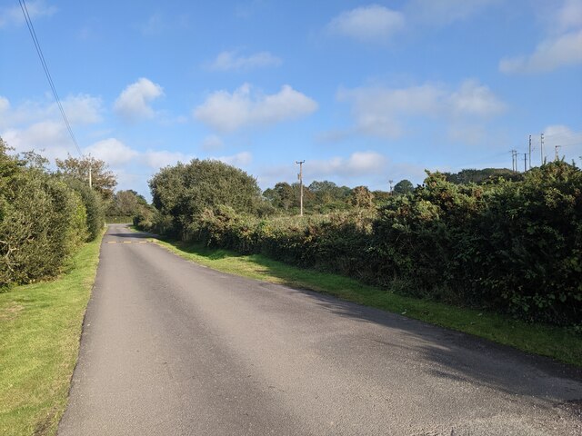
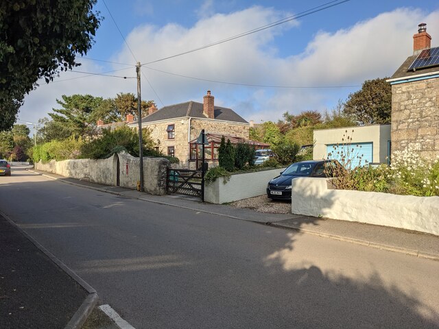
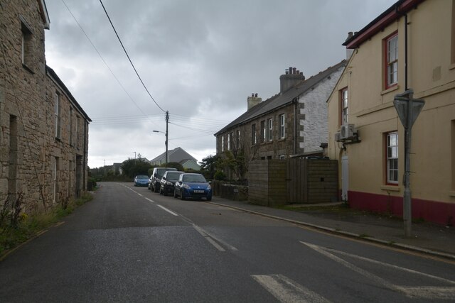
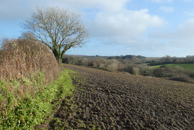
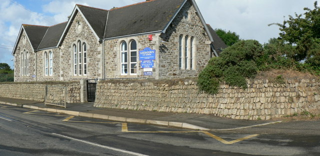
The village is characterized by its charming rural setting, surrounded by rolling hills and farmland. It boasts a tight-knit community, with a population of around 500 residents. The architecture of Leedstown reflects its rich history, with many traditional stone cottages and buildings that have stood for centuries.

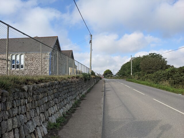
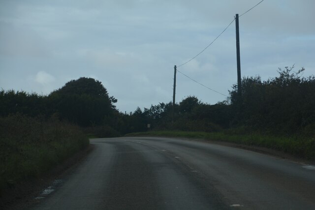
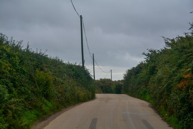
Leedstown is well-connected to the surrounding areas, with good transport links. The A30, one of the main arterial roads in Cornwall, runs nearby, providing easy access to other towns and cities in the region. The village is also served by a few bus routes, connecting it to larger towns such as Penzance and Hayle.

While Leedstown does not have many amenities within the village itself, residents have easy access to essential services in nearby towns. The village does, however, have a community hall, which serves as a central hub for various social and recreational activities.

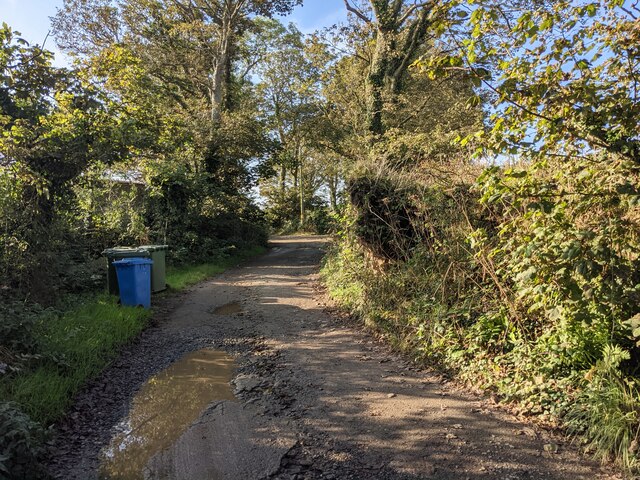
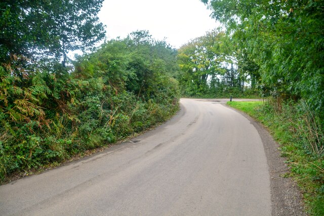
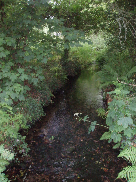
For outdoor enthusiasts, Leedstown offers plenty of opportunities to explore the beautiful countryside. The village is surrounded by idyllic footpaths and bridleways, making it a popular destination for walkers and cyclists.

In summary, Leedstown is a tranquil and picturesque village in Cornwall, offering a peaceful retreat from the hustle and bustle of larger towns. With its rich history, beautiful countryside, and strong community spirit, it is an attractive place to live or visit for those seeking a slower pace of life.

If you have any feedback on the listing, please let us know in the comments section below.
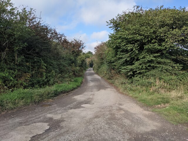
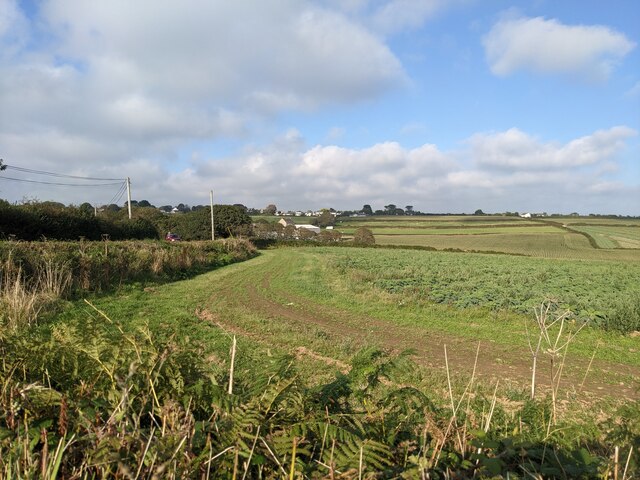
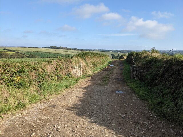
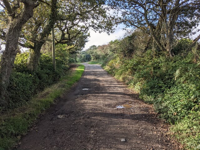
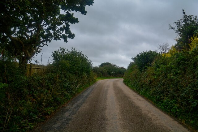
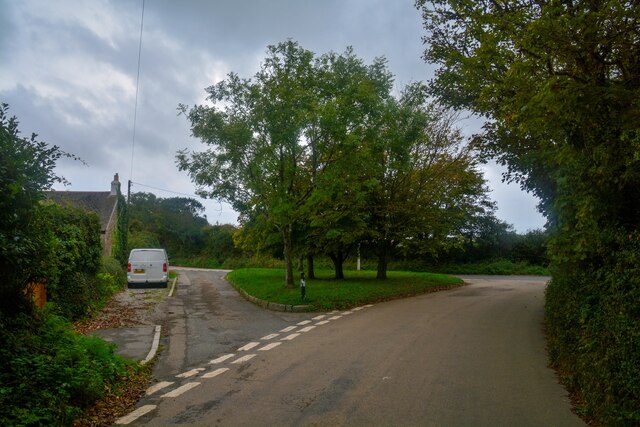
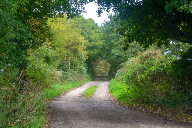
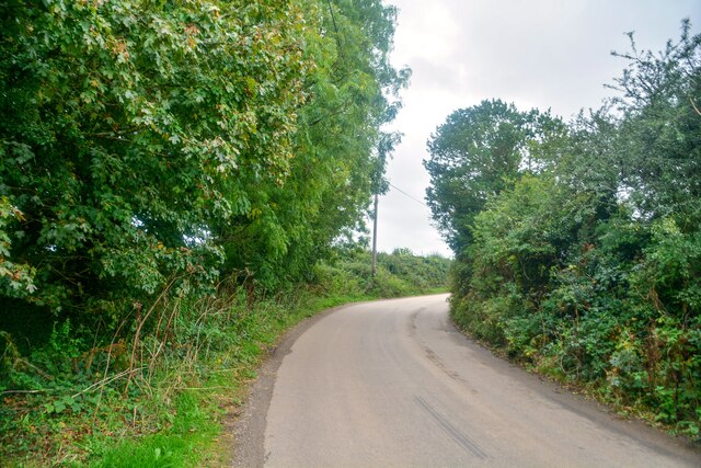
Leedstown Images

Images are sourced within 2km of 50.161319/-5.352657 or Grid Reference SW6034. Thanks to Geograph Open Source API. All images are credited.

A byway near Leedstown Leedstown has many Byways Open to All Traffic, which all seem to be in good condition.
A byway near Leedstown
Leedstown has many Byways Open to All Traffic, which all seem to be in good condition.
Fields near Polglase Farm
Farm lane near Paul's Green Farm
Byway open to all traffic near Leedstown
The entrance drive to Calloose Caravan and Camping Park
The bridleway to Trenerth
The school wall at Leedstown
Signs for Calloose Holiday Park Referred to as Calloose Caravan and Camping Park on other signs.
Signs for Calloose Holiday Park
Referred to as Calloose Caravan and Camping Park on other signs.
Houses in Reawla
Houses in Reawla
Leedstown : B3302 Looking along the road.
Leedstown : B3302
Looking along the road.
Leedstown : B3280 Looking along the road at the junction.
Leedstown : B3280
Looking along the road at the junction.
Farmland, Crowan Beside the upper of two footpaths between Trenwheal and Higher Drym.
Farmland, Crowan
Beside the upper of two footpaths between Trenwheal and Higher Drym.
Gwinear-Gwithean : Reawla - Deveral Road Heading into the hamlet of Reawla.
Gwinear-Gwithean : Reawla - Deveral Road
Heading into the hamlet of Reawla.
Gwinear-Gwithean : Reawla - Trenerth Road Looking along Trenerth Road at the junction.
Gwinear-Gwithean : Reawla - Trenerth Road
Looking along Trenerth Road at the junction.
Gwinear-Gwithean : Reawla - Track A track to Lemin Farm.
Gwinear-Gwithean : Reawla - Track
A track to Lemin Farm.
Gwinear-Gwithean : Reawla - Trenerth Road Looking along the road.
Gwinear-Gwithean : Reawla - Trenerth Road
Looking along the road.
Gwinear-Gwithean : Reawla - Trenerth Road Looking along the road.
Gwinear-Gwithean : Reawla - Trenerth Road
Looking along the road.
Gwinear-Gwithean : Reawla - Trenerth Road Looking along the road.
Gwinear-Gwithean : Reawla - Trenerth Road
Looking along the road.
Show me another place!

Leedstown is located at Grid Ref: SW6034 (Lat: 50.161319, Lng: -5.352657)

Unitary Authority: Cornwall

Police Authority: Devon and Cornwall

What 3 Words

///dweller.sooner.liberated. Near Hayle, Cornwall

Related Wikis

Leedstown

Leedstown is a village on the B3280 road between Helston and Hayle in the civil parish of Crowan (where the 2011 census population is included.), Cornwall...

Gwinear Downs

Gwinear Downs is a hamlet in the parish of Crowan, Cornwall, England. It is in the civil parish of Camborne. == References ==

Carzise

Carzise is a hamlet in west Cornwall, England. It is 0.5 miles (0.80 km) west of Leedstown and 0.5 miles (0.80 km) south-east of Fraddam. Carzise is situated...

Clowance Wood

Clowance Wood is a hamlet in the civil parish of Crowan (where the 2011 census population was included ) in west Cornwall, England. Clowance Wood is situated...

Nearby Amenities

Located within 500m of 50.161319,-5.352657
Leedstown
Is In: Cornwall, England, UK
Is In Country: England
Is In Country Code: GB
Is In County: Cornwall
Name Kw: Trelids
Place: village
Source: npe
Wikidata: Q6516185
Lat/Long: 50.160744/-5.3555967
Pub
Duke of Leeds
Addr City: Hayle
Addr Country: GB
Addr Housename: Duke of Leeds
Addr Place: Leedstown
Addr Postcode: TR27 6DB
Addr Street: Hayle Road
Fhrs Id: 701859
Lat/Long: 50.1607476/-5.3558201
Place Of Worship
Leedstown United Methodist Church
Denomination: methodist
Node Id: 672690148
Religion: christian
Lat/Long: 50.1594583/-5.3540314
Post Box
Leedstown Post Box
Brand: Royal Mail
Brand Wikidata: Q638098
Collection Times: Mo-Fr 17:15; Sa 10:15; Su off
Drive Through: no
Operator: Royal Mail
Operator Wikidata: Q638098
Post Box Design: type_b
Post Box Mounting: brick_pillar
Post Box Type: wall
Ref: TR27 228
Royal Cypher: EIIR
Royal Cypher Wikidata: Q33102113
Source: survey;streetlevel imagery;aerial imagery
Lat/Long: 50.1604656/-5.3550125
Bus Stop
Chapel Road
Bus: yes
Naptan AtcoCode: 0800COD40654
Naptan Bearing: SE
Naptan BusStopType: CUS
Naptan CommonName: Chapel Road
Naptan Indicator: SE-bound
Naptan NaptanCode: corajatj
Naptan Street: Chapel Road
Naptan Verified: no
Public Transport: platform
Source: naptan_import
Lat/Long: 50.1603263/-5.3547712
Bus Stop
Chapel Road
Bus: yes
Naptan AtcoCode: 0800COD40655
Naptan Bearing: NW
Naptan CommonName: Chapel Road
Naptan Indicator: NW-bound
Naptan NaptanCode: corajatd
Naptan Street: Chapel Road
Naptan Verified: no
Public Transport: platform
Source: naptan_import
Lat/Long: 50.1602614/-5.3548367
Bus Stop
Rodwill Close
Bus: yes
Naptan AtcoCode: 0800COD40670
Naptan Bearing: SW
Naptan CommonName: Rodwill Close
Naptan Indicator: SW-bound
Naptan NaptanCode: corajapd
Naptan Street: African Row
Naptan Verified: no
Public Transport: platform
Source: naptan_import
Lat/Long: 50.160114/-5.3562917
Bus Stop
Rodwill Close
Bus: yes
Naptan AtcoCode: 0800COD40671
Naptan Bearing: NE
Naptan BusStopType: no
Naptan CommonName: Rodwill Close
Naptan Indicator: opp
Naptan NaptanCode: corajapg
Naptan Street: African Row
Naptan Verified: no
Public Transport: platform
Source: naptan_import
Lat/Long: 50.1601456/-5.3564084
Bus Stop
Millbank Meadow
Bus: yes
Naptan AtcoCode: 0800FWX38494
Naptan Bearing: N
Naptan BusStopType: CUS
Naptan CommonName: Millbank Meadow
Naptan Crossing: Carsize Lane
Naptan Indicator: opp
Naptan NaptanCode: corajamg
Naptan Street: Trenerth Road
Naptan Verified: no
Public Transport: platform
Source: naptan_import
Lat/Long: 50.1620447/-5.3575665
Bus Stop
Garage
Bus: yes
Naptan AtcoCode: 0800FWZ38609
Naptan Bearing: NE
Naptan CommonName: Garage
Naptan Crossing: Fraddam Road
Naptan Indicator: NE-bound
Naptan NaptanCode: corajapj
Naptan Street: Praze Road
Naptan Verified: no
Public Transport: platform
Source: naptan_import
Lat/Long: 50.1611194/-5.3553449
Bus Stop
Garage
Bus: yes
Naptan AtcoCode: 0800FWZ38610
Naptan Bearing: SW
Naptan CommonName: Garage
Naptan Indicator: opp
Naptan NaptanCode: corajapm
Naptan Street: Praze Road
Naptan Verified: no
Public Transport: platform
Source: naptan_import
Lat/Long: 50.1610153/-5.3552116
Bus Stop
Duke of Leeds
Bus: yes
Naptan AtcoCode: 0800COA15336
Naptan Bearing: NW
Naptan CommonName: Duke of Leeds
Naptan Indicator: NW-bound
Naptan NaptanCode: corgdmpt
Naptan Verified: no
Public Transport: platform
Shelter: yes
Lat/Long: 50.1608686/-5.3559576
Power: pole
Lat/Long: 50.1620442/-5.3506583
Power: pole
Lat/Long: 50.1626319/-5.3513879
Power: pole
Lat/Long: 50.1650271/-5.3546253
Generator Method: photovoltaic
Generator Output Electricity: small_installation
Generator Source: solar
Generator Type: solar_photovoltaic_panel
Location: roof
Power: generator
Source: bing
Lat/Long: 50.1616099/-5.3578728
Generator Method: photovoltaic
Generator Output Electricity: small_installation
Generator Source: solar
Generator Type: solar_photovoltaic_panel
Location: roof
Power: generator
Source: bing
Lat/Long: 50.161814/-5.3572941
Generator Method: photovoltaic
Generator Output Electricity: small_installation
Generator Source: solar
Generator Type: solar_photovoltaic_panel
Location: roof
Power: generator
Source: bing
Lat/Long: 50.1629669/-5.3522891
Generator Method: photovoltaic
Generator Output Electricity: small_installation
Generator Source: solar
Generator Type: solar_photovoltaic_panel
Location: roof
Power: generator
Source: bing
Lat/Long: 50.1614016/-5.3544161
Generator Method: photovoltaic
Generator Output Electricity: small_installation
Generator Source: solar
Generator Type: solar_photovoltaic_panel
Location: roof
Power: generator
Source: bing
Lat/Long: 50.1609117/-5.3558454
Generator Method: photovoltaic
Generator Output Electricity: small_installation
Generator Source: solar
Generator Type: solar_photovoltaic_panel
Location: roof
Power: generator
Source: bing
Lat/Long: 50.1592769/-5.3538032
Generator Method: photovoltaic
Generator Output Electricity: small_installation
Generator Source: solar
Generator Type: solar_photovoltaic_panel
Location: roof
Power: generator
Source: bing
Lat/Long: 50.1587236/-5.3503297
Top Hat Electronics
Addr City: Leedstown
Addr Housename: Ivy Villa
Addr Postcode: TR27 6EN
Addr Street: Carsize Lane
Craft: electronics_repair
Opening Hours: "By Appointment Only"
Operator: Top Hat Electronics
Website: http://www.tophatelectronics.co.uk
Lat/Long: 50.1610685/-5.3590364
Post Office
Leedstown Mobile Service Post Office
Addr City: Hayle
Addr Housename: Leedstown Village Hall
Addr Postcode: TR27 6EN
Addr Street: Carsize Lane
Addr Village: Leedstown
Brand: Post Office
Brand Wikidata: Q1783168
Opening Hours: We 11:45-12:30
Ref Pol Id: 150448
Source: pol_branch_list_2022‑05‑27;aerial imagery;streetlevel imagery
Lat/Long: 50.161557/-5.3574996
Genesis Farm
Place: farm
Lat/Long: 50.1637531/-5.3511721
Bus Stop
Opp Duke of Leeds
Bus: yes
Departures Board: timetable
Naptan AtcoCode: 0800COA15337
Naptan Bearing: SE
Naptan CommonName: Duke of Leeds
Naptan Indicator: SE-bound
Naptan NaptanCode: corgdmpw
Naptan Verified: no
Public Transport: platform
Shelter: no
Source: naptan;bing;naptan_compare_tool
Lat/Long: 50.1613348/-5.3566836
Defibrillator
Access: yes
Check Date: 2024-02-07
Defibrillator Location: On Wall of Village Hall
Defibrillator Location En: On Wall of Village Hall
Emergency: defibrillator
Indoor: no
Lat/Long: 50.1615181/-5.3575194
Defibrillator
Access: yes
Check Date: 2024-02-07
Defibrillator Location En: Within Telephone Callbox
Emergency: defibrillator
Indoor: yes
Level: 0
Lat/Long: 50.1604971/-5.3550788
The data included in this document is from www.openstreetmap.org. The data is made available under ODbL.

Have you been to Leedstown?

Leave your review of Leedstown below (or comments, questions and feedback).