Gwinear Downs
Settlement in Cornwall
England
Gwinear Downs
The requested URL returned error: 429 Too Many Requests
If you have any feedback on the listing, please let us know in the comments section below.
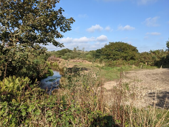
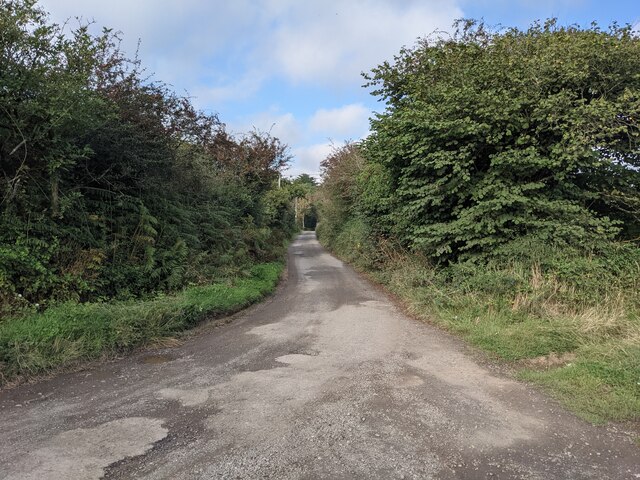
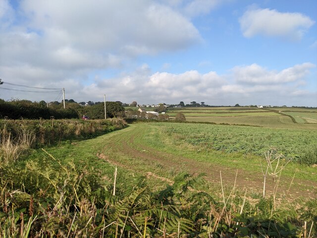
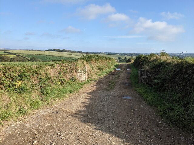
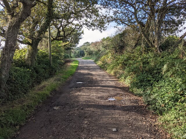
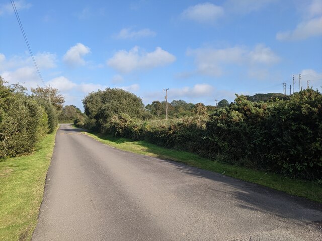
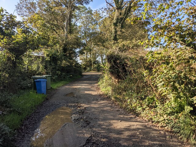
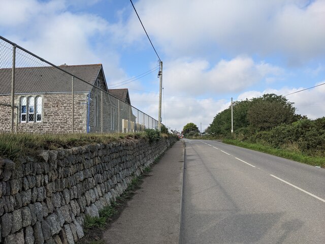
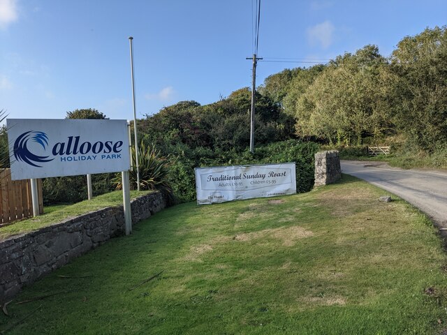
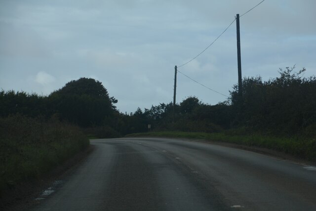
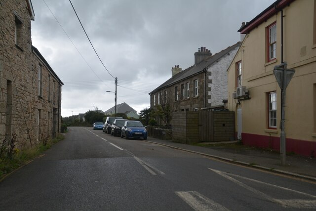
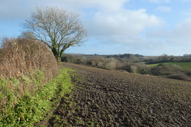
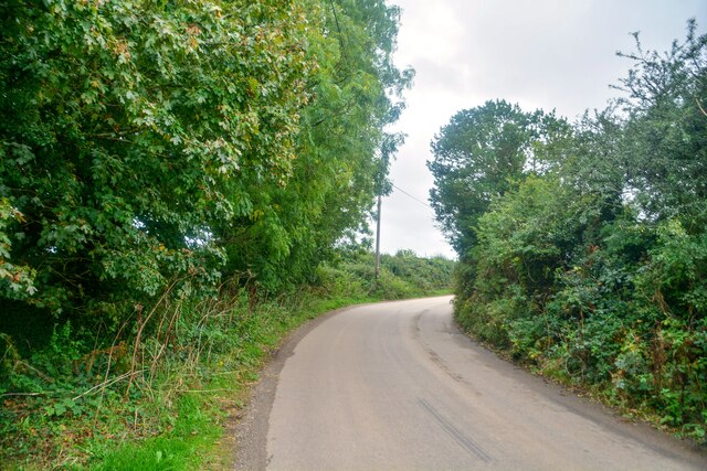
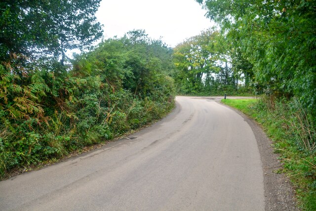
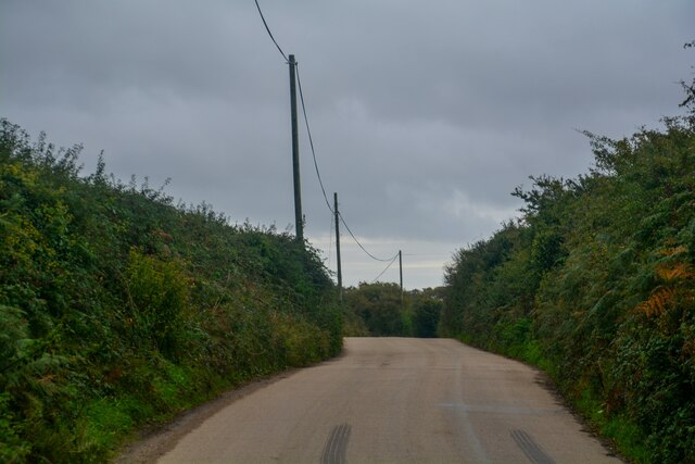
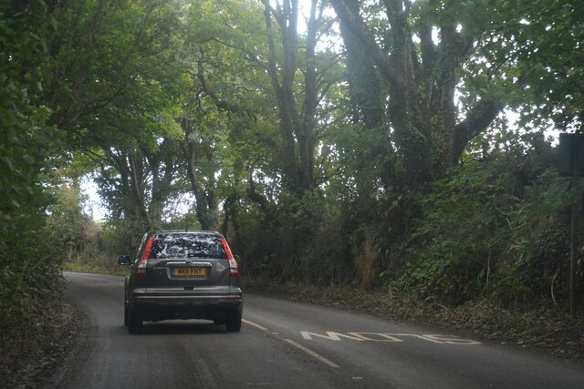
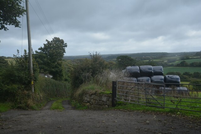
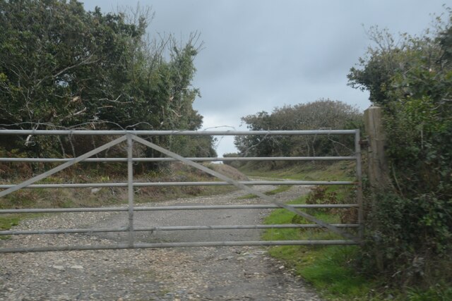
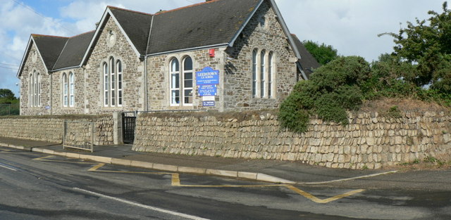
Gwinear Downs Images
Images are sourced within 2km of 50.157356/-5.3613886 or Grid Reference SW6034. Thanks to Geograph Open Source API. All images are credited.
Gwinear Downs is located at Grid Ref: SW6034 (Lat: 50.157356, Lng: -5.3613886)
Unitary Authority: Cornwall
Police Authority: Devon and Cornwall
What 3 Words
///homing.embers.classmate. Near Germoe, Cornwall
Nearby Locations
Related Wikis

Carzise
Carzise is a hamlet in west Cornwall, England. It is 0.5 miles (0.80 km) west of Leedstown and 0.5 miles (0.80 km) south-east of Fraddam. Carzise is situated...
Leedstown
Leedstown is a village on the B3280 road between Helston and Hayle in the civil parish of Crowan (where the 2011 census population is included.), Cornwall...
Paul's Green
Paul's Green is a hamlet between Leedstown and Townshend in west Cornwall, England, UK. == References ==
Gwinear Downs
Gwinear Downs is a hamlet in the parish of Crowan, Cornwall, England. It is in the civil parish of Camborne. == References ==
Nearby Amenities
Located within 500m of 50.157356,-5.3613886Have you been to Gwinear Downs?
Leave your review of Gwinear Downs below (or comments, questions and feedback).