Gwinear Downs

Downs, Moorland in Cornwall

England

Gwinear Downs

A byway near Leedstown Leedstown has many Byways Open to All Traffic, which all seem to be in good condition.
A byway near Leedstown Credit: David Medcalf

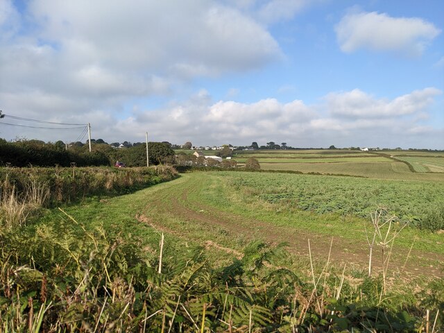
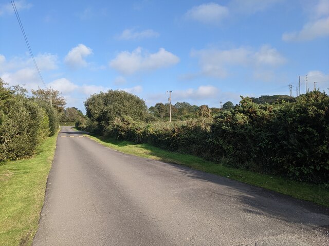
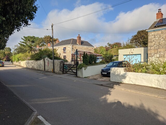
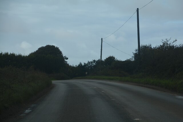
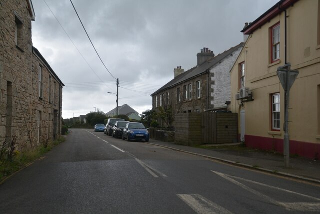
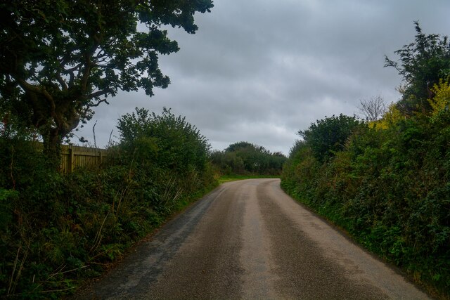
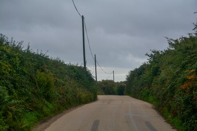
Gwinear Downs is a scenic area located in Cornwall, England. Spread across approximately 38 square kilometers, it is characterized by its rolling hills, open grasslands, and patches of moorland. The downs are situated in the western part of Cornwall, near the village of Gwinear and close to the North Cornwall coast.

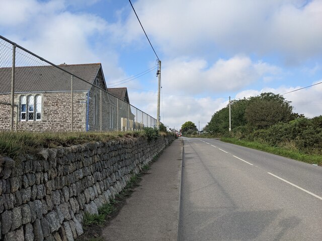
The landscape of Gwinear Downs is predominantly rural, with vast stretches of open space and panoramic views. The area is known for its diverse plant and animal life, providing a habitat for various species of birds, insects, and small mammals. The downs are also home to a number of rare and protected species, making it a designated Area of Outstanding Natural Beauty.

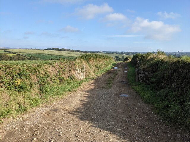
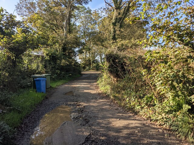
Visitors to Gwinear Downs can explore the network of footpaths and bridleways that crisscross the area, offering opportunities for walking, hiking, and horse riding. There are also designated picnic areas and viewpoints, allowing visitors to relax and enjoy the stunning surroundings. The downs are popular with nature enthusiasts, photographers, and those seeking a peaceful retreat away from the hustle and bustle of city life.

In addition to its natural beauty, Gwinear Downs has historical significance. There are remnants of ancient settlements and burial sites, providing a glimpse into the area's rich past. The downs also offer a backdrop for various outdoor recreational activities, such as camping, orienteering, and wildlife spotting.

Overall, Gwinear Downs is a captivating destination that showcases the natural beauty and diverse ecosystem of Cornwall. Its picturesque landscapes, combined with its historical and recreational opportunities, make it a must-visit location for both locals and tourists alike.

If you have any feedback on the listing, please let us know in the comments section below.

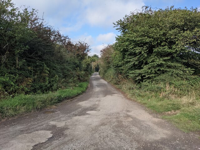
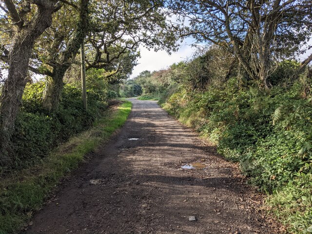
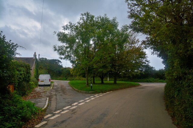
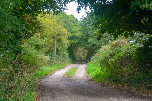
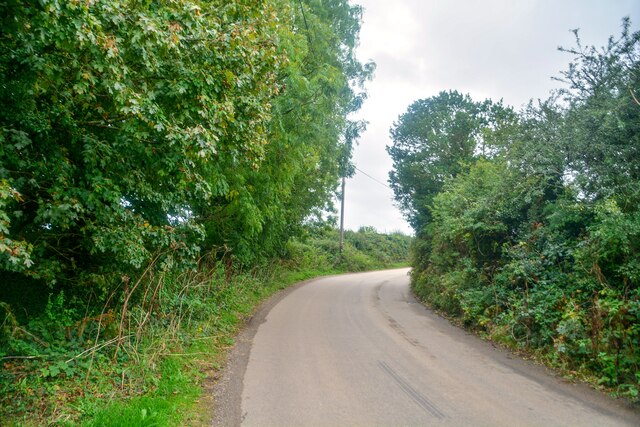
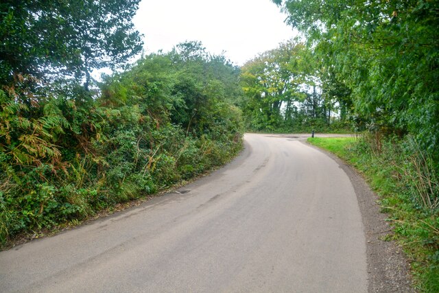
Gwinear Downs Images

Images are sourced within 2km of 50.166326/-5.3538952 or Grid Reference SW6034. Thanks to Geograph Open Source API. All images are credited.

A byway near Leedstown Leedstown has many Byways Open to All Traffic, which all seem to be in good condition.
A byway near Leedstown
Leedstown has many Byways Open to All Traffic, which all seem to be in good condition.
Fields near Polglase Farm
Farm lane near Paul's Green Farm
Byway open to all traffic near Leedstown
The entrance drive to Calloose Caravan and Camping Park
The bridleway to Trenerth
The school wall at Leedstown
Signs for Calloose Holiday Park Referred to as Calloose Caravan and Camping Park on other signs.
Signs for Calloose Holiday Park
Referred to as Calloose Caravan and Camping Park on other signs.
Houses in Reawla
Houses in Reawla
Leedstown : B3302 Looking along the road.
Leedstown : B3302
Looking along the road.
Leedstown : B3280 Looking along the road at the junction.
Leedstown : B3280
Looking along the road at the junction.
Gwinear-Gwithean : Reawla - Deveral Road Heading into the hamlet of Reawla.
Gwinear-Gwithean : Reawla - Deveral Road
Heading into the hamlet of Reawla.
Gwinear-Gwithean : Reawla - Trenerth Road Looking along Trenerth Road at the junction.
Gwinear-Gwithean : Reawla - Trenerth Road
Looking along Trenerth Road at the junction.
Gwinear-Gwithean : Reawla - Track A track to Lemin Farm.
Gwinear-Gwithean : Reawla - Track
A track to Lemin Farm.
Gwinear-Gwithean : Reawla - Trenerth Road Looking along the road.
Gwinear-Gwithean : Reawla - Trenerth Road
Looking along the road.
Gwinear-Gwithean : Reawla - Trenerth Road Looking along the road.
Gwinear-Gwithean : Reawla - Trenerth Road
Looking along the road.
Gwinear-Gwithean : Reawla - Trenerth Road Looking along the road.
Gwinear-Gwithean : Reawla - Trenerth Road
Looking along the road.
Gwinear-Gwithean : Reawla - Houses Houses seen off Reawla Lane.
Gwinear-Gwithean : Reawla - Houses
Houses seen off Reawla Lane.
Show me another place!

Gwinear Downs is located at Grid Ref: SW6034 (Lat: 50.166326, Lng: -5.3538952)

Unitary Authority: Cornwall

Police Authority: Devon and Cornwall

What 3 Words

///unwind.whiplash.inhaler. Near Hayle, Cornwall

Related Wikis

Gwinear Downs

Gwinear Downs is a hamlet in the parish of Crowan, Cornwall, England. It is in the civil parish of Camborne. == References ==
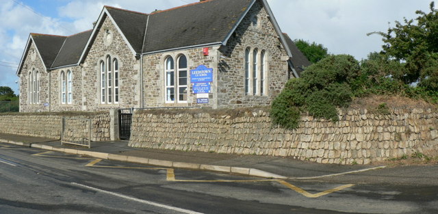
Leedstown

Leedstown is a village on the B3280 road between Helston and Hayle in the civil parish of Crowan (where the 2011 census population is included.), Cornwall...
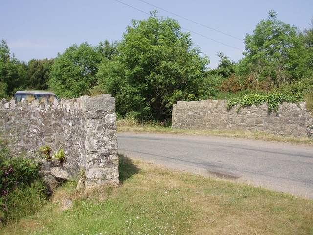
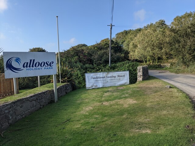
Calloose

Calloose is a hamlet near Leedstown in west Cornwall, England, UK. == References ==
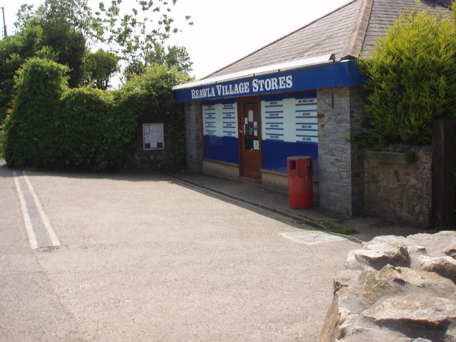
Reawla

Reawla (Cornish: Riwella) is a hamlet in Penwith district (Cornish: Pennwydh) in Cornwall. It is in the civil parish of Gwinear-Gwithian.The name Reawla...

Nearby Amenities

Located within 500m of 50.166326,-5.3538952
Gwinear Downs
Place: locality
Source: OD Streetview
Wikidata: Q5623648
Lat/Long: 50.1662804/-5.3548197
Power: pole
Lat/Long: 50.1674324/-5.3601319
Power: pole
Lat/Long: 50.1680303/-5.3590268
Power: pole
Lat/Long: 50.1680887/-5.359
Power: pole
Lat/Long: 50.1626319/-5.3513879
Power: pole
Lat/Long: 50.1650271/-5.3546253
Power: pole
Lat/Long: 50.1672349/-5.357734
Generator Method: photovoltaic
Generator Output Electricity: small_installation
Generator Source: solar
Generator Type: solar_photovoltaic_panel
Location: roof
Power: generator
Source: bing
Lat/Long: 50.1629669/-5.3522891
Power: pole
Lat/Long: 50.1688129/-5.3553562
Power: pole
Lat/Long: 50.1685423/-5.3567483
Power: pole
Lat/Long: 50.1682837/-5.358249
Power: pole
Lat/Long: 50.1681583/-5.3589463
Power: pole
Lat/Long: 50.1681893/-5.3590804
Power: pole
Lat/Long: 50.1688799/-5.3595109
Power: pole
Source: bing
Lat/Long: 50.1705538/-5.3523698
Power: pole
Source: bing
Lat/Long: 50.1695491/-5.3517848
Power: pole
Source: bing
Lat/Long: 50.1695044/-5.3517701
Power: pole
Source: bing
Lat/Long: 50.1698351/-5.3500937
Genesis Farm
Place: farm
Lat/Long: 50.1637531/-5.3511721
Power: pole
Lat/Long: 50.16919/-5.3533539
Power: pole
Lat/Long: 50.1690388/-5.3541586
The data included in this document is from www.openstreetmap.org. The data is made available under ODbL.

Have you been to Gwinear Downs?

Leave your review of Gwinear Downs below (or comments, questions and feedback).