Paul's Green

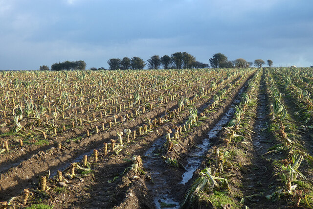
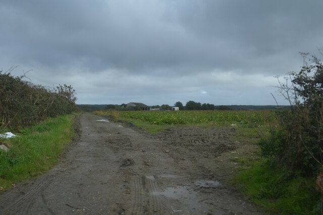
Downs, Moorland in Cornwall

England

Paul's Green

Godolphin House Viewed from the south. 
The Great Hall of the mediaeval house would have been in the foreground where the path and grass is currently.
Godolphin House Credit: Jonathan Billinger

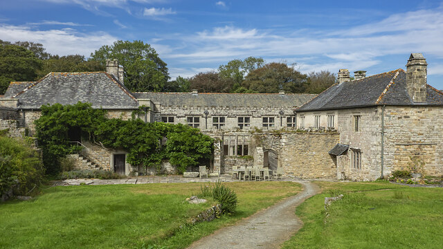
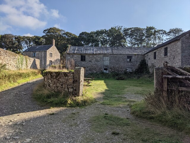
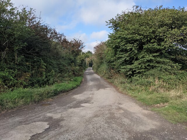
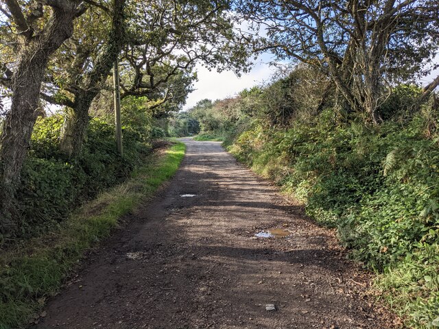
Paul's Green is a picturesque region located in the county of Cornwall, England. Situated in the southeastern part of the county, Paul's Green is known for its stunning natural landscapes, encompassing both downs and moorland.

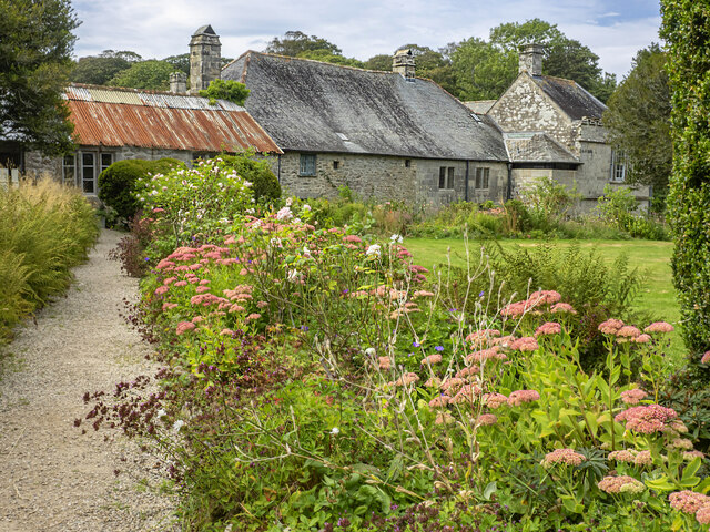
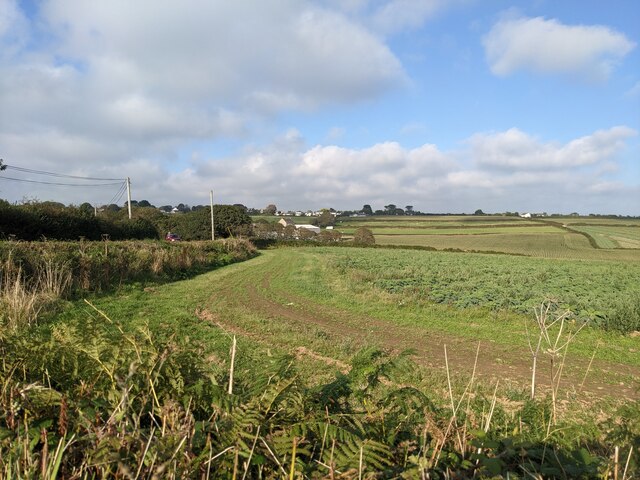
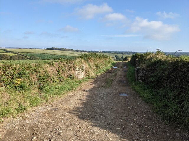
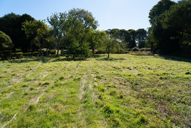
The downs of Paul's Green are characterized by their rolling hills covered in lush green grasses and scattered with vibrant wildflowers. These expansive open spaces offer breathtaking panoramic views of the surrounding countryside, making it a popular destination for hikers and nature enthusiasts. The downs are also home to a variety of wildlife, including rabbits, foxes, and a plethora of bird species.

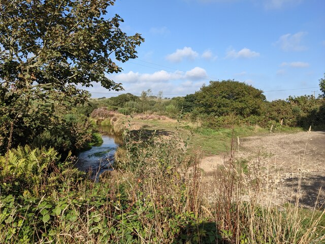
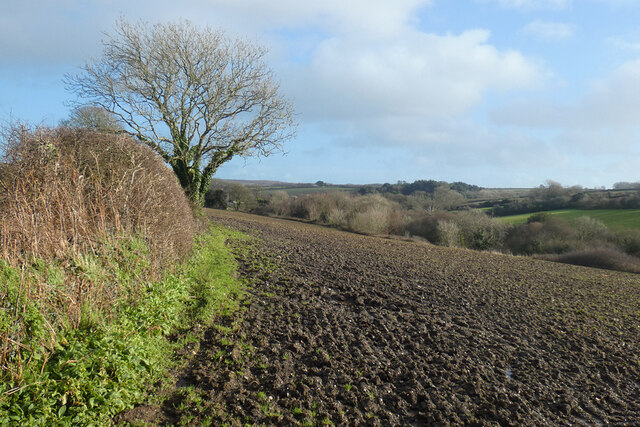
In contrast, the moorland of Paul's Green presents a more rugged and untamed environment. Here, visitors can explore vast expanses of heather-covered hills, interspersed with granite outcrops and bogs. The moorland is known for its unique flora, including rare species of orchids and carnivorous plants. It is also a habitat for a diverse range of animal life, including ponies, deer, and various bird species such as the skylark and the buzzard.

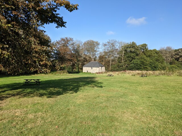
Paul's Green offers a tranquil escape from the hustle and bustle of city life, with its unspoiled natural beauty and peaceful atmosphere. The region attracts visitors year-round, with opportunities for hiking, birdwatching, and simply enjoying the stunning vistas. Whether exploring the downs or venturing into the moorland, Paul's Green is a must-visit destination for nature enthusiasts seeking a true taste of Cornwall's natural wonders.

If you have any feedback on the listing, please let us know in the comments section below.
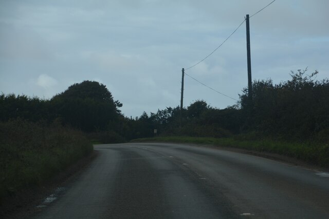
Paul's Green Images

Images are sourced within 2km of 50.152315/-5.3580804 or Grid Reference SW6033. Thanks to Geograph Open Source API. All images are credited.

Godolphin House Viewed from the south. 
The Great Hall of the mediaeval house would have been in the foreground where the path and grass is currently.
Godolphin House
Viewed from the south. The Great Hall of the mediaeval house would have been in the foreground where the path and grass is currently.
Godolphin House and garden View from the south-east with the borders in fine late summer colour.
Godolphin House and garden
View from the south-east with the borders in fine late summer colour.
The 'tea yard' behind the Piggery café This is the outdoor area for Godolphin House teashop customers.
The 'tea yard' behind the Piggery café
This is the outdoor area for Godolphin House teashop customers.
The River Hayle near Lower Noonvares
A byway near Leedstown Leedstown has many Byways Open to All Traffic, which all seem to be in good condition.
A byway near Leedstown
Leedstown has many Byways Open to All Traffic, which all seem to be in good condition.
The picnic lawn and the Cider House At Godolphin House.
The picnic lawn and the Cider House
At Godolphin House.
Fields near Polglase Farm
Farm lane near Paul's Green Farm
Byway open to all traffic near Leedstown
The entrance drive to Calloose Caravan and Camping Park
The school wall at Leedstown
Signs for Calloose Holiday Park Referred to as Calloose Caravan and Camping Park on other signs.
Signs for Calloose Holiday Park
Referred to as Calloose Caravan and Camping Park on other signs.
Grassy fields around Godolphin National Trust site
Leedstown : B3302 Looking along the road.
Leedstown : B3302
Looking along the road.
Leedstown : B3280 Looking along the road at the junction.
Leedstown : B3280
Looking along the road at the junction.
Farmland, Crowan Beside the upper of two footpaths between Trenwheal and Higher Drym.
Farmland, Crowan
Beside the upper of two footpaths between Trenwheal and Higher Drym.
Farmland, Breage A crop of cauliflowers had been recently harvested. It seems unlikely that the harvesters will be back for the few that remain.
Farmland, Breage
A crop of cauliflowers had been recently harvested. It seems unlikely that the harvesters will be back for the few that remain.
Breage : Track A track heads through the field.
Breage : Track
A track heads through the field.
Show me another place!

Paul's Green is located at Grid Ref: SW6033 (Lat: 50.152315, Lng: -5.3580804)

Unitary Authority: Cornwall

Police Authority: Devon and Cornwall

What 3 Words

///promoted.metals.promising. Near Germoe, Cornwall

Nearby Locations

Paul's Green

Related Wikis

Paul's Green

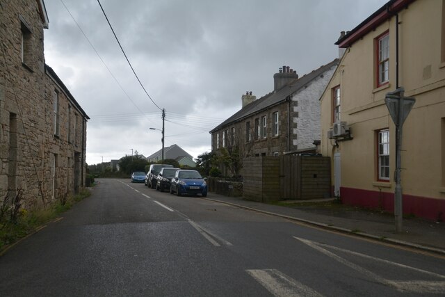
Paul's Green is a hamlet between Leedstown and Townshend in west Cornwall, England, UK. == References ==

Carzise

Carzise is a hamlet in west Cornwall, England. It is 0.5 miles (0.80 km) west of Leedstown and 0.5 miles (0.80 km) south-east of Fraddam. Carzise is situated...
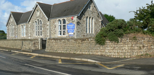
Leedstown

Leedstown is a village on the B3280 road between Helston and Hayle in the civil parish of Crowan (where the 2011 census population is included.), Cornwall...

Noonvares

Noonvares is a hamlet in the parish of Crowan, Cornwall, England. == References ==

Nearby Amenities

Located within 500m of 50.152315,-5.3580804
Paul's Green
Is In: Cornwall, England, UK
Is In Country: England
Is In Country Code: GB
Is In County: Cornwall
Place: hamlet
Source: npe
Wikidata: Q7148895
Lat/Long: 50.1510501/-5.3647831
The data included in this document is from www.openstreetmap.org. The data is made available under ODbL.

Have you been to Paul's Green?

Leave your review of Paul's Green below (or comments, questions and feedback).