Sliabh a' Bhiorain

Downs, Moorland in Argyllshire

Scotland

Sliabh a' Bhiorain

Remains of an old settlement on the coast above the North Channel
Remains of an old settlement on the coast above the North Channel Credit: John Ferguson

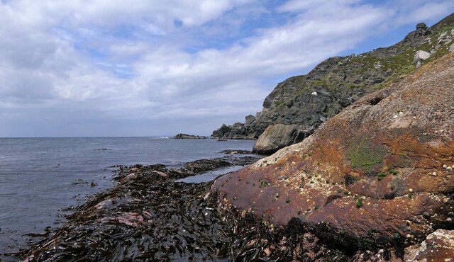
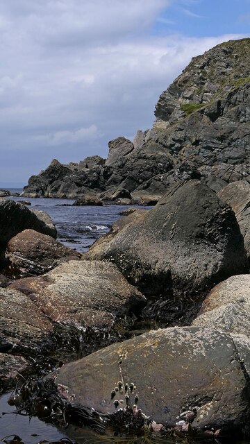
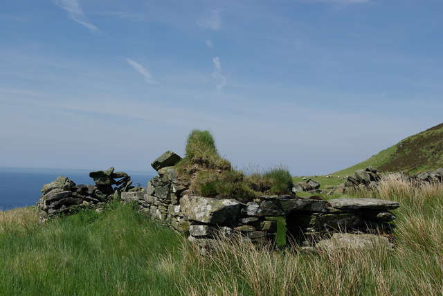
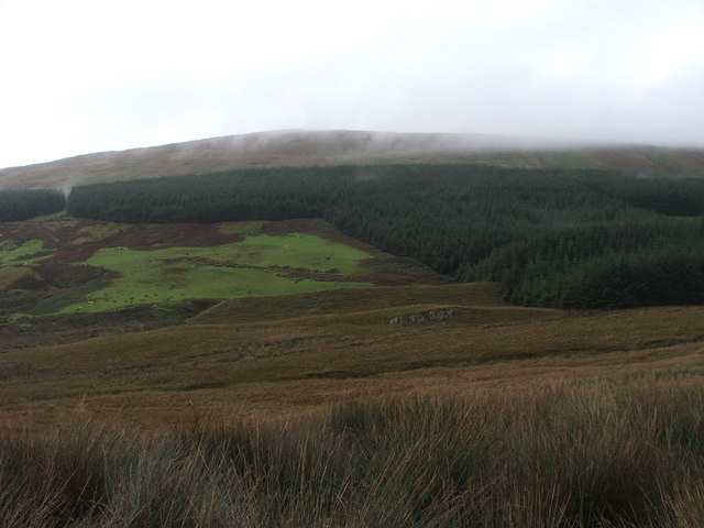
Sliabh a' Bhiorain is a mountain located in Argyllshire, Scotland. It is part of the region's diverse landscape, characterized by its rugged terrain and expansive moorlands. The mountain is known for its steep slopes and rocky outcrops, making it a popular destination for hikers and outdoor enthusiasts looking for a challenge.

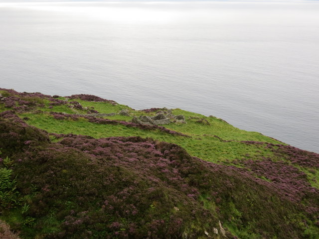
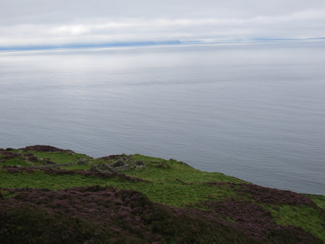
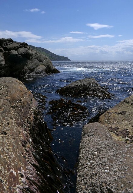
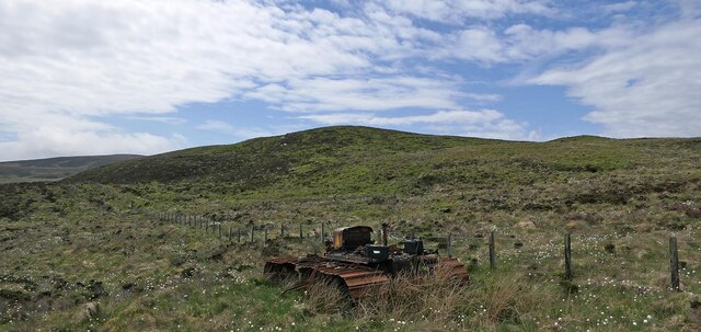
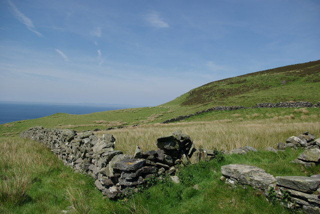
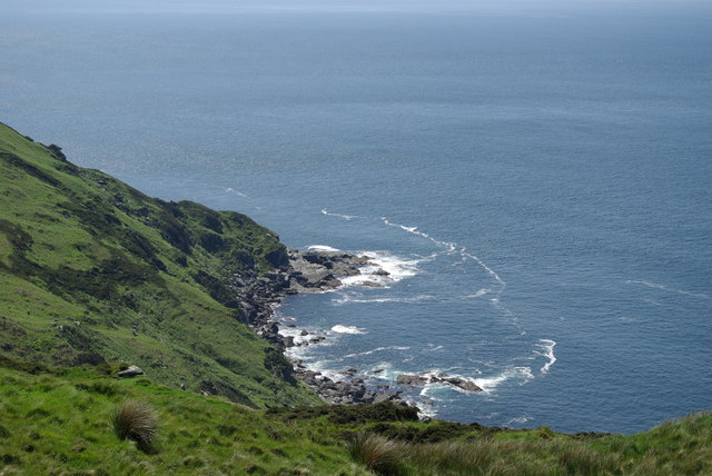
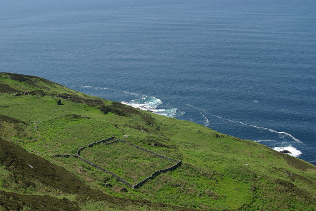
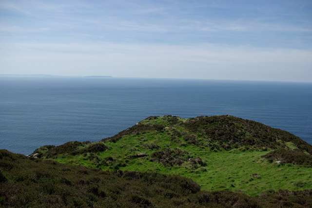
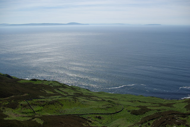
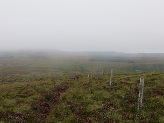
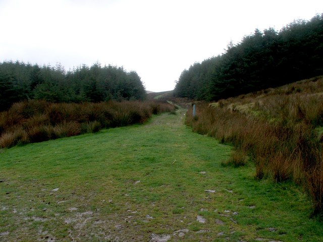
The surrounding area of Sliabh a' Bhiorain is dominated by open moorland, with heather and grasses covering the rolling hills. The mountain provides stunning panoramic views of the surrounding countryside, including nearby lochs and valleys. Wildlife such as red deer, grouse, and eagles can often be spotted in the area, adding to the natural beauty of the landscape.

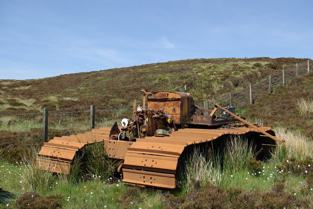
Sliabh a' Bhiorain is a designated Special Area of Conservation, highlighting its importance for biodiversity and conservation efforts. The mountain is also steeped in history, with ancient ruins and archaeological sites scattered throughout the region, providing a glimpse into the area's past.

Overall, Sliabh a' Bhiorain offers a unique and challenging outdoor experience for those looking to explore the wild and rugged beauty of Argyllshire's moorlands.

If you have any feedback on the listing, please let us know in the comments section below.

Sliabh a' Bhiorain Images

Images are sourced within 2km of 55.349105/-5.7856412 or Grid Reference NR6012. Thanks to Geograph Open Source API. All images are credited.
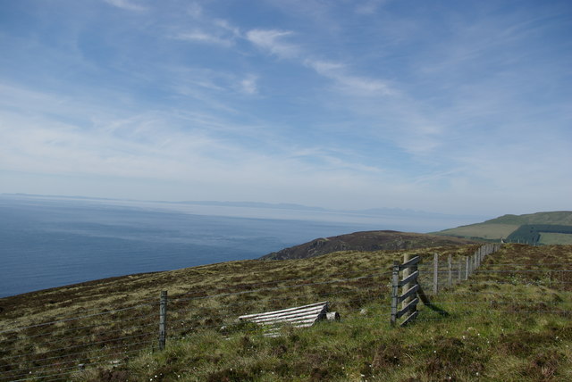
Remains of an old settlement on the coast above the North Channel
Remains of an old settlement on the coast, looking towards Ireland
Coast to the south of Rubh' a' Mharaiche, Argyll Looking towards Rubh' a' Mharaiche which means Mariner's Promontory.
Coast to the south of Rubh' a' Mharaiche, Argyll
Looking towards Rubh' a' Mharaiche which means Mariner's Promontory.
Rubh' a' Mharaiche, Argyll Rubh' a' Mharaiche means Mariner's Promontory.
Rubh' a' Mharaiche, Argyll
Rubh' a' Mharaiche means Mariner's Promontory.
Coast to the south of Rubh' a' Mharaiche, Argyll The Mull of Kintyre lighthouse is on the distant headland.
Coast to the south of Rubh' a' Mharaiche, Argyll
The Mull of Kintyre lighthouse is on the distant headland.
Abandoned vehicle, Sliabh a' Bhiorain, Argyll This vehicle has been there since at least 2009: <a href="https://www.geograph.org.uk/photo/1430229">NR5912 : Abandoned tracked vehicle on the slopes of Sliabh a' Bhiorain</a> and probably much longer.  I'm not sure how it comes to be there. I assume that it broke down irreversibly and it wasn't considered worth going to the trouble of recovering it.
Abandoned vehicle, Sliabh a' Bhiorain, Argyll
This vehicle has been there since at least 2009: NR5912 : Abandoned tracked vehicle on the slopes of Sliabh a' Bhiorain and probably much longer. I'm not sure how it comes to be there. I assume that it broke down irreversibly and it wasn't considered worth going to the trouble of recovering it.
Abandoned tracked vehicle on the slopes of Sliabh a' Bhiorain
Fence descending northern slopes of Sliabh a' Bhiorain A view towards Cnoc Moy [NR6115]
Fence descending northern slopes of Sliabh a' Bhiorain
A view towards Cnoc Moy [NR6115]
Sheepfold at Innean Gaothach
Ruin at Innean Gaothach
Port na h-Olainn
Port na h-Olainn
Sheepfold at Innean Beithe
Dun above Rubh' a' Mharaiche
Sheepfold at Innean Coig Cailleiche
Fence junction on Corr Bhan
Fenceline on a misty moorland below A' Chruach
The Kintyre Way at Largiebaan. The 'Way' turns South at this point on its way from Machrihanish heading towards Southend and is accompanied all the while by the blue waymarkers, which are now unavoidable in Kintyre.
The Kintyre Way at Largiebaan.
The 'Way' turns South at this point on its way from Machrihanish heading towards Southend and is accompanied all the while by the blue waymarkers, which are now unavoidable in Kintyre.
Cnoc Moy and Forestry. Looking up the southern slopes of Cnoc Moy.
Cnoc Moy and Forestry.
Looking up the southern slopes of Cnoc Moy.
Show me another place!

Sliabh a' Bhiorain is located at Grid Ref: NR6012 (Lat: 55.349105, Lng: -5.7856412)

Unitary Authority: Argyll and Bute

Police Authority: Argyll and West Dunbartonshire

What 3 Words

///digesting.regal.stumble. Near Campbeltown, Argyll & Bute

Nearby Locations

Sliabh a' Bhiorain

Related Wikis

1994 Mull of Kintyre Chinook crash

On 2 June 1994, a Chinook helicopter of the Royal Air Force (RAF), serial number ZD576, crashed on the Mull of Kintyre, Scotland, in foggy conditions....

Mull of Kintyre

The Mull of Kintyre is the southwesternmost tip of the Kintyre Peninsula (formerly Cantyre) in southwest Scotland. From here, the Antrim coast of Northern...

The Gauldrons

The Gauldrons (Scottish Gaelic: Innean nan Gailleann meaning "Bay of Storms" is a bay facing the Atlantic Ocean in the village of Machrihanish in Argyll...

Lossit House

Lossit House is a 19th-century house, located just to the south of Machrihanish on the Kintyre peninsula, Argyll and Bute, Scotland. The house is the seat...

Nearby Amenities

Located within 500m of 55.349105,-5.7856412
Sliabh a' Bhiorain
Corbett: no
Ele: 357
Graham: no
Marilyn: no
Munro: no
Natural: peak
Lat/Long: 55.3472583/-5.7920191
The data included in this document is from www.openstreetmap.org. The data is made available under ODbL.

Have you been to Sliabh a' Bhiorain?

Leave your review of Sliabh a' Bhiorain below (or comments, questions and feedback).