Sow Clough

Valley in Lancashire Rossendale

England

Sow Clough

OS Benchmark locator Newchurch Old Rd Benchmark locator on a stone now used as a step down onto Newchurch Old Road, Bacup.
I assume this would have been located in the wall of the old road originally.
OS Benchmark locator Newchurch Old Rd Credit: Phill

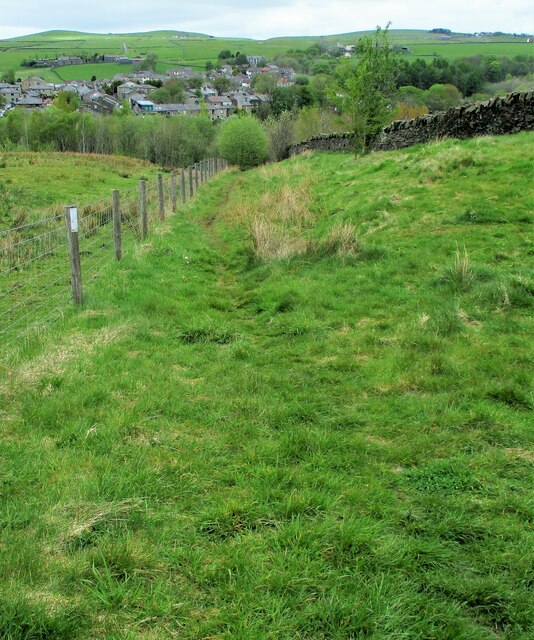
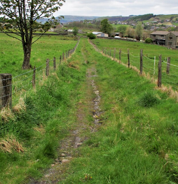
Sow Clough is a picturesque valley located in the county of Lancashire, in the northwest of England. Situated within the Rossendale district, this idyllic valley offers stunning natural beauty and a peaceful environment for visitors.

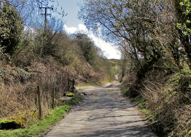
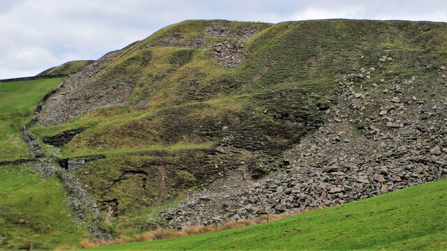
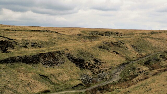
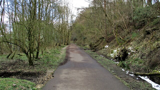
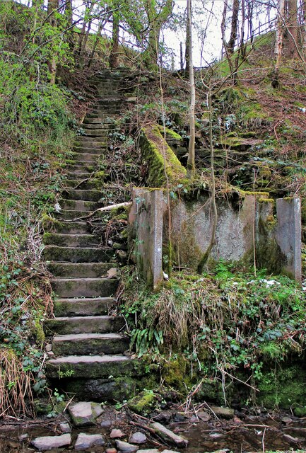
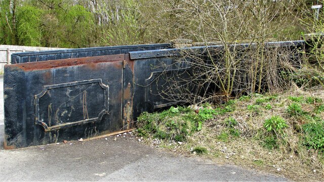
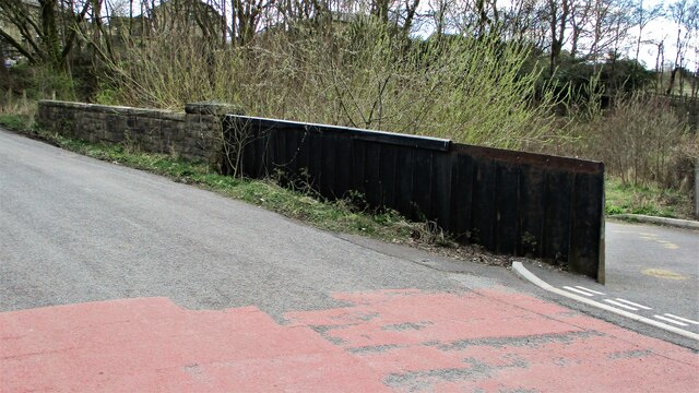
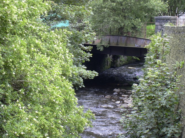
Surrounded by rolling hills and lush greenery, Sow Clough is a popular destination for outdoor enthusiasts and nature lovers. The valley is home to a diverse range of flora and fauna, making it an ideal spot for hiking, birdwatching, and photography. The meandering Clough River runs through the valley, adding to its charm and providing a serene atmosphere.

The valley is dotted with small hamlets and farmhouses, showcasing the rural character of the area. It is also known for its traditional stone cottages, which add a touch of historic charm to the landscape.

Sow Clough is well-connected to nearby towns and villages, such as Haslingden and Rawtenstall, making it easily accessible for day trips or longer stays. The valley offers a range of amenities, including local pubs, cafes, and guesthouses, ensuring visitors have a comfortable and enjoyable experience.

For those looking to explore further afield, Sow Clough is within close proximity to the stunning West Pennine Moors, which offer additional opportunities for outdoor activities and exploration.

Overall, Sow Clough, Lancashire, is a hidden gem for those seeking a tranquil escape in the heart of nature. Its breathtaking scenery, rich wildlife, and peaceful atmosphere make it a must-visit destination for anyone looking to unwind and reconnect with the great outdoors.

If you have any feedback on the listing, please let us know in the comments section below.
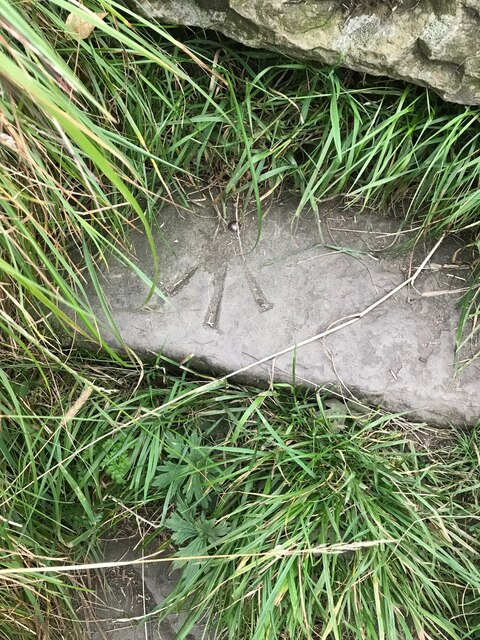
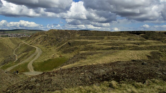
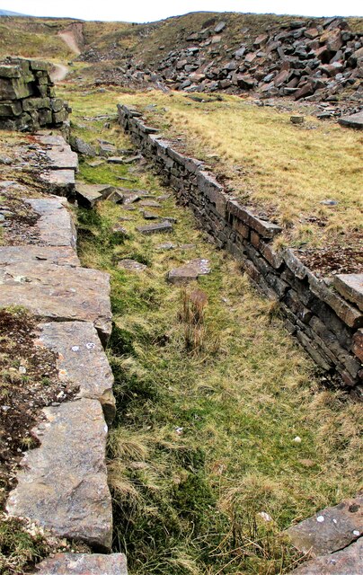
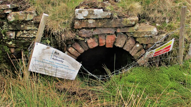
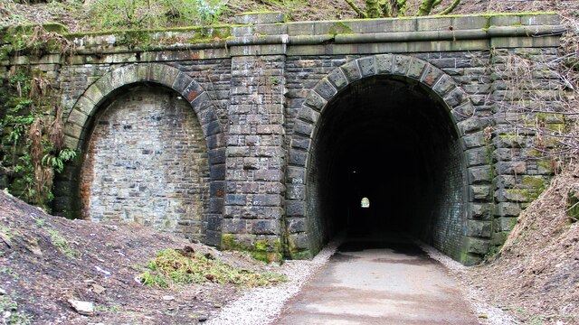
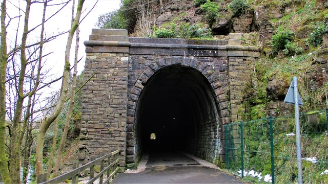
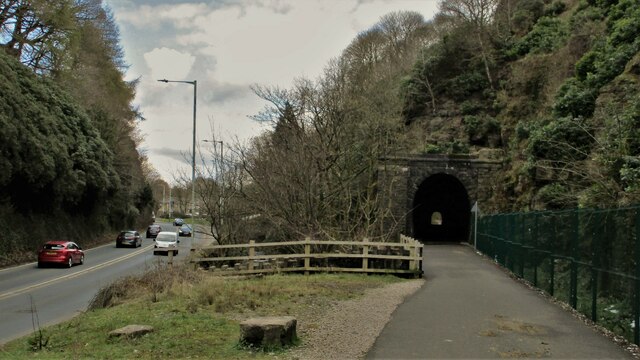
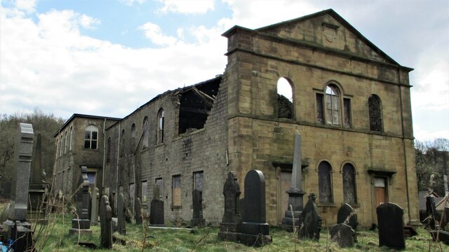
Sow Clough Images

Images are sourced within 2km of 53.696269/-2.2170533 or Grid Reference SD8522. Thanks to Geograph Open Source API. All images are credited.

OS Benchmark locator Newchurch Old Rd Benchmark locator on a stone now used as a step down onto Newchurch Old Road, Bacup.
I assume this would have been located in the wall of the old road originally.
OS Benchmark locator Newchurch Old Rd
Benchmark locator on a stone now used as a step down onto Newchurch Old Road, Bacup. I assume this would have been located in the wall of the old road originally.
Former Trackbed of Lee Quarry Tramway Incline View up the incline of about half mile towards Lee Quarry
Former Trackbed of Lee Quarry Tramway Incline
View up the incline of about half mile towards Lee Quarry
Trackbed of former railway heading East out of Lee Quarry A railway following the contour allowed Lee Quarry to link with the Britannia Incline.
Trackbed of former railway heading East out of Lee Quarry
A railway following the contour allowed Lee Quarry to link with the Britannia Incline.
Lee Quarry Eastern Workings The stonework suggests loading platforms for the quarry tramway system
Lee Quarry Eastern Workings
The stonework suggests loading platforms for the quarry tramway system
Former Trackbed of Quarry Railway Incline Land reclamation has obscured the actual trackbed that went steeply down to Siddalls Sidings just East of Stacksteads Station.
Former Trackbed of Quarry Railway Incline
Land reclamation has obscured the actual trackbed that went steeply down to Siddalls Sidings just East of Stacksteads Station.
Former Trackbed of Quarry Railway This section of Siddalls quarry railways ran from Law Head to Greens. Law Head is in the distance in this view.
Former Trackbed of Quarry Railway
This section of Siddalls quarry railways ran from Law Head to Greens. Law Head is in the distance in this view.
Former Railway Routes serving Greens Moor Quarry View across Greens Clough which is filled with quarry spoil but two former trackbeds with stone embankments are apparent.
Former Railway Routes serving Greens Moor Quarry
View across Greens Clough which is filled with quarry spoil but two former trackbeds with stone embankments are apparent.
Former Trackbed of Quarry Railway in Greens Clough Route of Siddalls Quarry railway heading South to Hall Cowm and Back Cowm Quarries plus various mines.
Former Trackbed of Quarry Railway in Greens Clough
Route of Siddalls Quarry railway heading South to Hall Cowm and Back Cowm Quarries plus various mines.
Helm Clough Colliery Remains Coal Authority notices keeping you safe at an entrance
Helm Clough Colliery Remains
Coal Authority notices keeping you safe at an entrance
Cyclepath through Newchurch No.2 Tunnel View West on newly laid cyclepath with the blocked Thrutch Tunnel to the left
Cyclepath through Newchurch No.2 Tunnel
View West on newly laid cyclepath with the blocked Thrutch Tunnel to the left
Cyclepath through Newchurch No.2 Tunnel The West portal of the railway tunnel
Cyclepath through Newchurch No.2 Tunnel
The West portal of the railway tunnel
Road, River & Railway in The Glen The A681 Newchurch Road, the River Irwell in a culvert and the West portal of Newchurch No.2 tunnel all squeezed together
Road, River & Railway in The Glen
The A681 Newchurch Road, the River Irwell in a culvert and the West portal of Newchurch No.2 tunnel all squeezed together
Cyclepath East of Thrutch Tunnel Cyclepath view East along former railway towards Bacup. It is contoured in the hillside above the River Irwell at this point
Cyclepath East of Thrutch Tunnel
Cyclepath view East along former railway towards Bacup. It is contoured in the hillside above the River Irwell at this point
Steps in Railway Cutting near Waterbarn Mill The railway presumably had hillside water drainage problems and needed to climb out of the cutting. Old OS maps have a tank marked about here.
Steps in Railway Cutting near Waterbarn Mill
The railway presumably had hillside water drainage problems and needed to climb out of the cutting. Old OS maps have a tank marked about here.
Vertical Culvert in Railway Cutting This appears to be a drain from the hillside which has required substantial masonry. Near Waterbarn Mills
Vertical Culvert in Railway Cutting
This appears to be a drain from the hillside which has required substantial masonry. Near Waterbarn Mills
Metal Bridge Parapet on Rakehead Lane The railway bridge for Rakehead Lane has been infilled so the cyclepath has to cross the lane on the level
Metal Bridge Parapet on Rakehead Lane
The railway bridge for Rakehead Lane has been infilled so the cyclepath has to cross the lane on the level
Rakehead Lane Railway Bridge Parapets The former railway bridge which has been infilled has a metal and a masonry parapet
Rakehead Lane Railway Bridge Parapets
The former railway bridge which has been infilled has a metal and a masonry parapet
Waterbarn Baptist Chapel at risk The Grade II listed building appears at risk of collapse viewed from Brandwood Road
Waterbarn Baptist Chapel at risk
The Grade II listed building appears at risk of collapse viewed from Brandwood Road
Show me another place!

Sow Clough is located at Grid Ref: SD8522 (Lat: 53.696269, Lng: -2.2170533)

Administrative County: Lancashire

District: Rossendale

Police Authority: Lancashire

What 3 Words

///shave.intestine.recent. Near Bacup, Lancashire

Related Wikis

Stacksteads

Stacksteads is a village between the towns of Bacup and Waterfoot within the Rossendale borough of Lancashire, England. The population of this Rossendale...

Stacksteads railway station

Stacksteads railway station served Stacksteads near Bacup, Rossendale, Lancashire, England from 1852 until the line closed in 1966. The station was just...

Bacup railway station

Bacup railway station served the town of Bacup, Rossendale, Lancashire, England, from 1852 until closure in 1966 and was the terminus of two lines; one...

Lee Quarry

Lee Quarry is a mountain bike trail located near Bacup and Stacksteads in Rossendale Valley, Lancashire. Originally a working quarry, the quarry alongside...

Nearby Amenities

Located within 500m of 53.696269,-2.2170533
Mini Roundabout
Direction: clockwise
Lat/Long: 53.69284/-2.2205967
Crossing
Crossing: zebra
Crossing Island: no
Tactile Paving: yes
Lat/Long: 53.692881/-2.2202211
Crossing
Crossing: zebra
Crossing Island: no
Kerb: lowered
Tactile Paving: yes
Lat/Long: 53.6927333/-2.2164613
Barrier: bollard
Bicycle: yes
Foot: yes
Horse: yes
Motor Vehicle: no
Lat/Long: 53.6931136/-2.2159685
Barrier: bollard
Bicycle: yes
Foot: yes
Horse: yes
Motor Vehicle: no
Lat/Long: 53.6938001/-2.2145602
NT Autocare
Shop: car_repair
Lat/Long: 53.6922477/-2.2195116
The data included in this document is from www.openstreetmap.org. The data is made available under ODbL.

Have you been to Sow Clough?

Leave your review of Sow Clough below (or comments, questions and feedback).