Lingyrigg Bottom
Valley in Westmorland Eden
England
Lingyrigg Bottom
Lingyrigg Bottom is a picturesque valley located in the historical county of Westmorland, in the northwest region of England. Nestled amidst the rugged beauty of the Lake District National Park, this charming valley offers a tranquil escape from the hustle and bustle of modern life.
Surrounded by rolling hills and verdant meadows, Lingyrigg Bottom is a haven for nature lovers and outdoor enthusiasts. The valley is intersected by a babbling brook, adding to its idyllic atmosphere. The area is known for its diverse flora and fauna, with wildflowers and rare plant species dotting the landscape.
The valley is also home to a wide range of wildlife, including red squirrels, deer, and a variety of bird species. Birdwatchers can enjoy spotting rare species such as buzzards and peregrine falcons soaring above the valley.
Lingyrigg Bottom is a popular destination for hikers and walkers, with numerous trails and footpaths crisscrossing the area. These paths offer breathtaking views of the surrounding countryside, as well as access to nearby attractions such as quaint villages, historic sites, and other areas of natural beauty.
Visitors to Lingyrigg Bottom can also explore the nearby market town of Kendal, renowned for its rich history and charming architecture. The town offers a variety of shops, cafes, and restaurants, providing ample opportunities to sample local cuisine and purchase souvenirs.
In summary, Lingyrigg Bottom is a hidden gem in Westmorland, offering visitors a chance to immerse themselves in the beauty of the Lake District National Park and experience the tranquility of the English countryside.
If you have any feedback on the listing, please let us know in the comments section below.
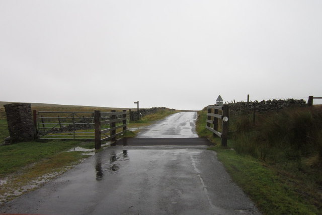
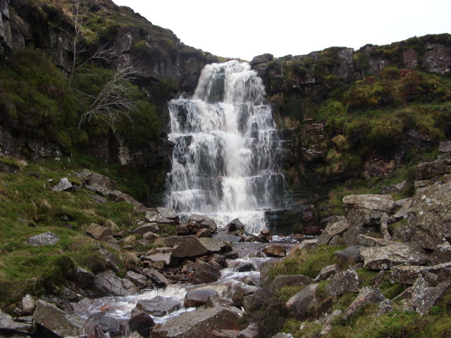
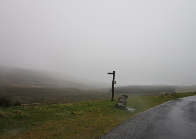
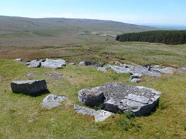
Lingyrigg Bottom Images
Images are sourced within 2km of 54.474762/-2.2212981 or Grid Reference NY8508. Thanks to Geograph Open Source API. All images are credited.


![Boundary stone, High Greygrits [2] The SE side of this stone is inscribed 'Township of Kaber'.](https://s0.geograph.org.uk/geophotos/03/12/33/3123332_64979e87.jpg)


Lingyrigg Bottom is located at Grid Ref: NY8508 (Lat: 54.474762, Lng: -2.2212981)
Administrative County: Cumbria
District: Eden
Police Authority: Cumbria
What 3 Words
///soda.roaring.bulge. Near Kirkby Stephen, Cumbria
Nearby Locations
Related Wikis

Belah Viaduct
The Belah Viaduct was a railway viaduct on the South Durham and Lancashire Union Railway, crossing the River Belah, in Cumbria, England, about 1 mile...

Barras railway station
Barras railway station was situated on the South Durham & Lancashire Union Railway between Barnard Castle and Kirkby Stephen East. == History == The station...

Barras, Cumbria
Barras is a hamlet close to the River Belah, about 4 miles (6 kilometres) south-east of Brough, Cumbria, England. Until the creation of the new county...
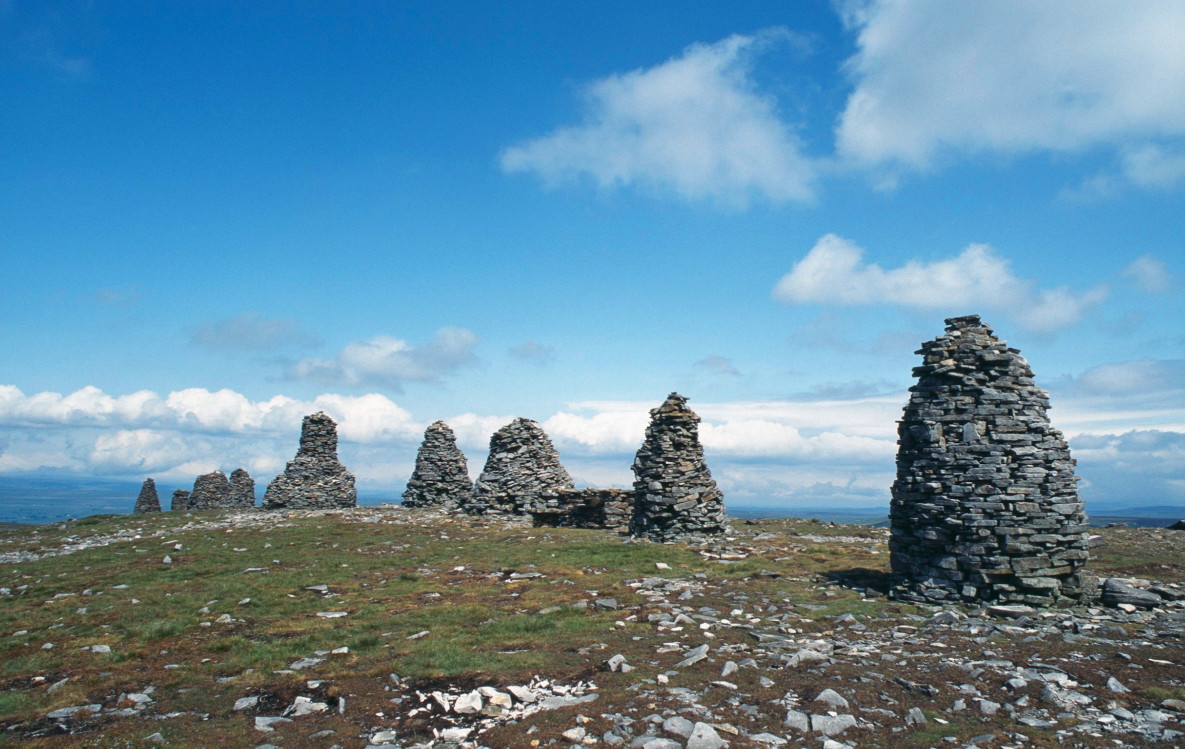
Nine Standards Rigg
Nine Standards Rigg is the summit of Hartley Fell in the Pennine Hills of England. It lies near the boundary between Cumbria and North Yorkshire, a few...

Snowdrift at Bleath Gill
Snowdrift at Bleath Gill is a 1955 British Transport Film documentary directed by Kenneth Fairbairn. The 10-minute-long film presents a first-hand account...

Stainmore Summit
Stainmore Summit is the highest point on the trans-Pennine South Durham & Lancashire Union Railway, also known as the Stainmore Railway in Northern England...

Tan Hill, North Yorkshire
Tan Hill (NY896067) is a high point on the Pennine Way in the Richmondshire district of North Yorkshire, England. It lies north of Keld in the civil parish...
Battle of Stainmore
The Battle of Stainmore was probably fought between the Earldom of Bernicia, led by Oswulf, and the forces of the last Norse king of Jórvík (York), Eric...
Nearby Amenities
Located within 500m of 54.474762,-2.2212981Have you been to Lingyrigg Bottom?
Leave your review of Lingyrigg Bottom below (or comments, questions and feedback).