Rossendale
Settlement in Lancashire Rossendale
England
Rossendale
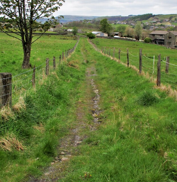
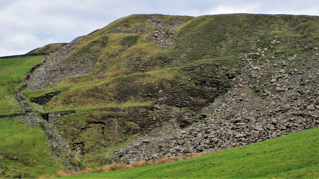
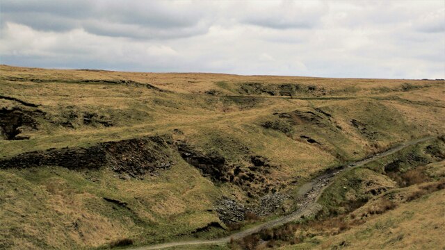
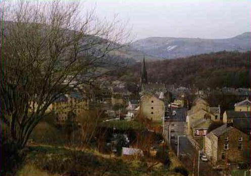
Rossendale is a district located in the county of Lancashire, England. It encompasses a series of small towns and villages nestled in the South Pennines, with a total population of around 70,000 residents. The region is known for its picturesque landscapes, with rolling hills and deep valleys, making it a popular destination for outdoor enthusiasts and nature lovers.
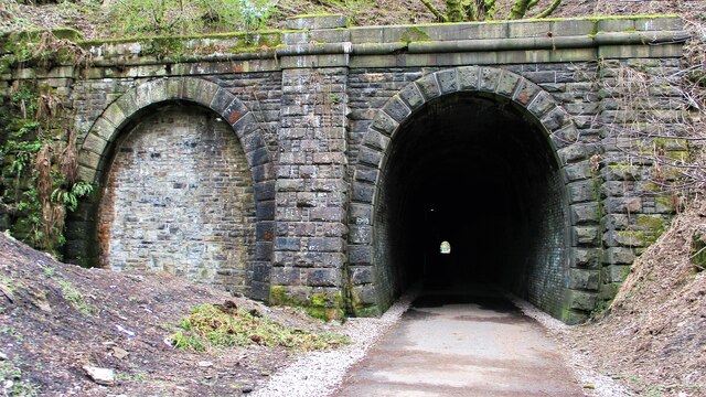
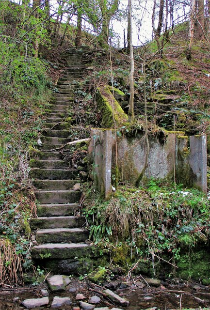
Historically, Rossendale was primarily an industrial area, specializing in textile manufacturing during the 19th century. Its rich history is still evident today, with remnants of old mills and factories scattered throughout the region. However, as the textile industry declined, Rossendale transformed into a more diverse economy, with a range of businesses and industries contributing to its growth.
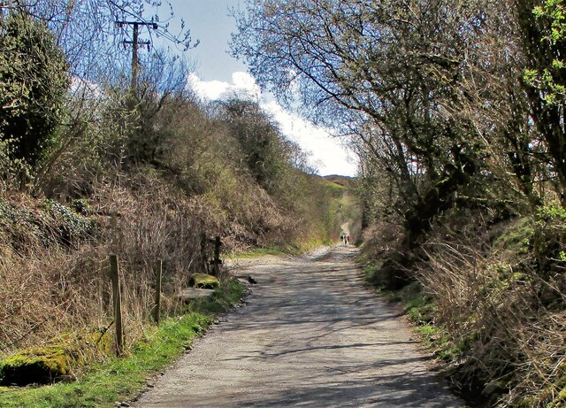
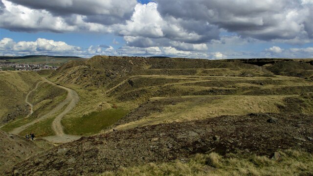
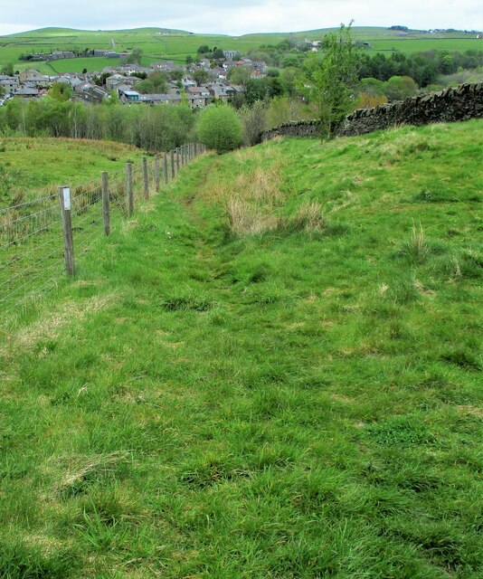
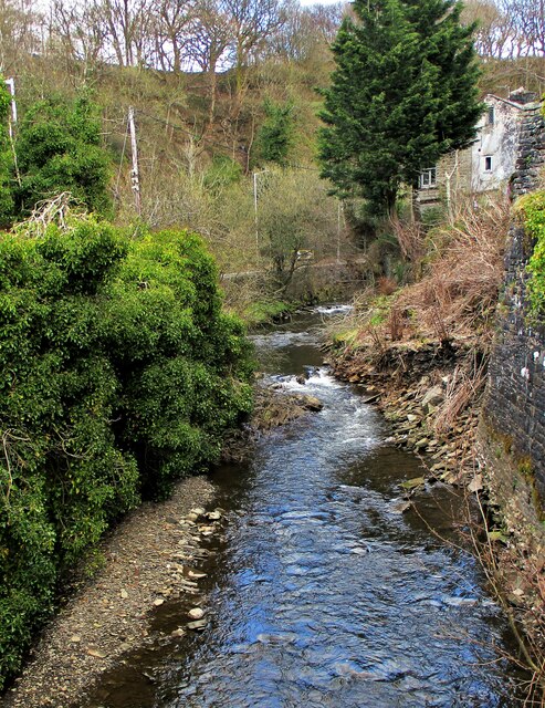
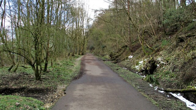
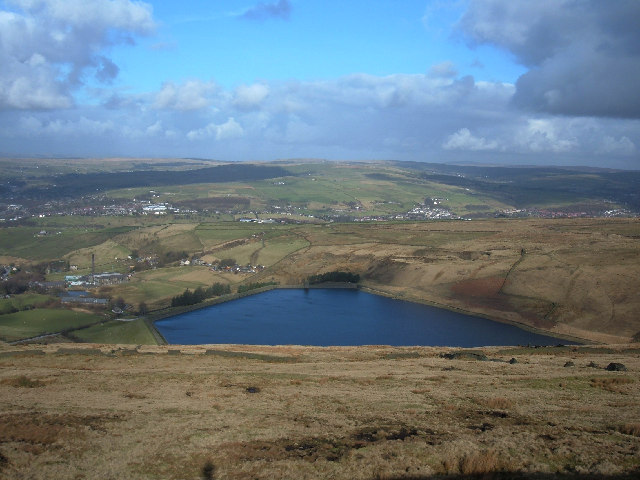
The district offers a variety of attractions and activities for visitors. The stunning countryside provides ample opportunities for walking, hiking, and cycling, with popular spots such as the Rossendale Valley and the West Pennine Moors. The area also boasts several reservoirs, including the picturesque Cowm Reservoir and the scenic Calf Hey Reservoir.
Rossendale is home to a vibrant arts and culture scene, with numerous galleries, theaters, and music venues. The Whitaker Museum and Art Gallery, located in the town of Rawtenstall, showcases local history and contemporary art exhibits. The district also hosts various events and festivals throughout the year, celebrating its heritage and community spirit.
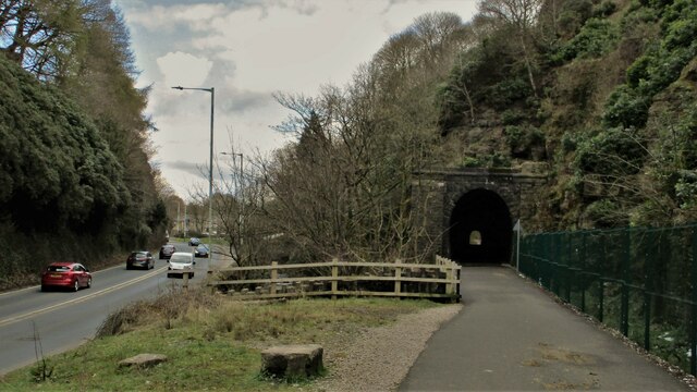
In terms of transportation, Rossendale is well-connected to nearby cities and towns. The M66 motorway provides easy access to Manchester, while the East Lancashire Railway offers a nostalgic steam train experience, connecting several towns within the district.
Overall, Rossendale offers a blend of natural beauty, rich history, and cultural attractions, making it an appealing destination for both locals and tourists alike.
If you have any feedback on the listing, please let us know in the comments section below.
Rossendale Images
Images are sourced within 2km of 53.694225/-2.2286434 or Grid Reference SD8522. Thanks to Geograph Open Source API. All images are credited.

Rossendale is located at Grid Ref: SD8522 (Lat: 53.694225, Lng: -2.2286434)
Administrative County: Lancashire
District: Rossendale
Police Authority: Lancashire
What 3 Words
///groups.ranches.soaps. Near Bacup, Lancashire
Nearby Locations
Related Wikis
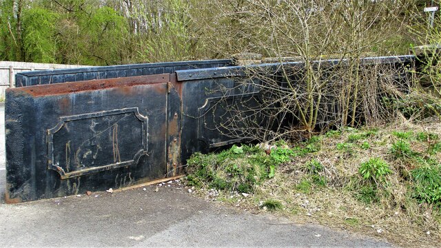
Stacksteads railway station
Stacksteads railway station served Stacksteads near Bacup, Rossendale, Lancashire, England from 1852 until the line closed in 1966. The station was just...

Stacksteads
Stacksteads is a village between the towns of Bacup and Waterfoot within the Rossendale borough of Lancashire, England. The population of this Rossendale...
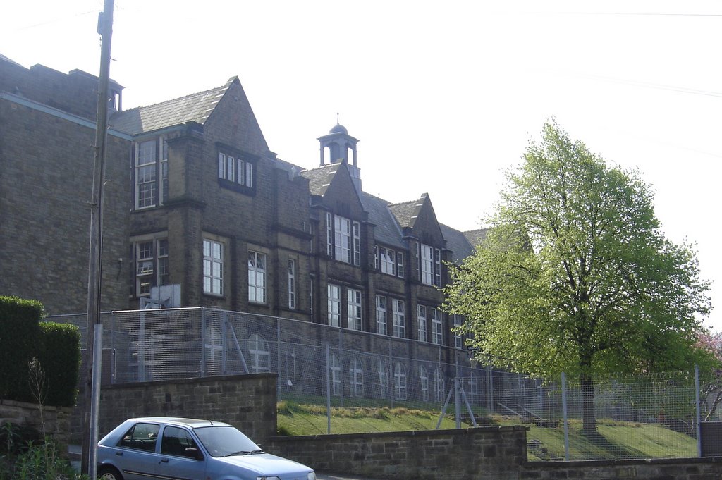
Bacup and Rawtenstall Grammar School
Bacup and Rawtenstall Grammar School (BRGS) is a selective co-educational academy grammar school in Waterfoot, Rossendale, Lancashire, England. The school...
Waterfoot, Lancashire
Waterfoot is a historic mill town and civil parish in the Borough of Rossendale between Rawtenstall and Bacup in Lancashire, England. The B6238 road from...

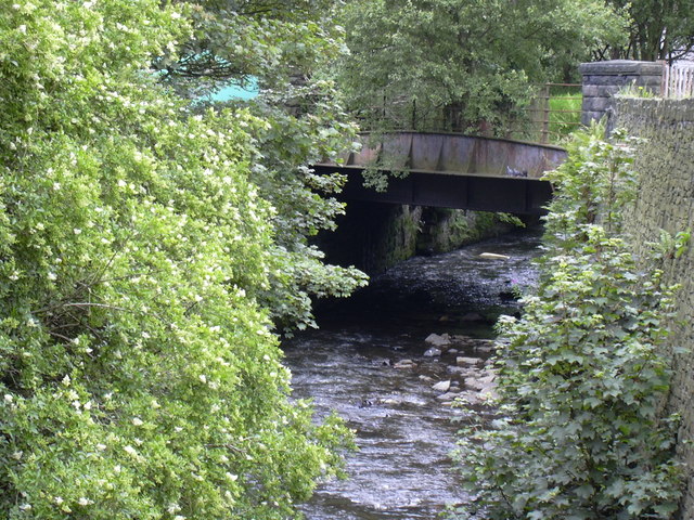
Waterfoot railway station
Waterfoot railway station served Waterfoot, Rossendale near Rawtenstall, Lancashire, England from 1848 until the line closed in 1966. == History == The...
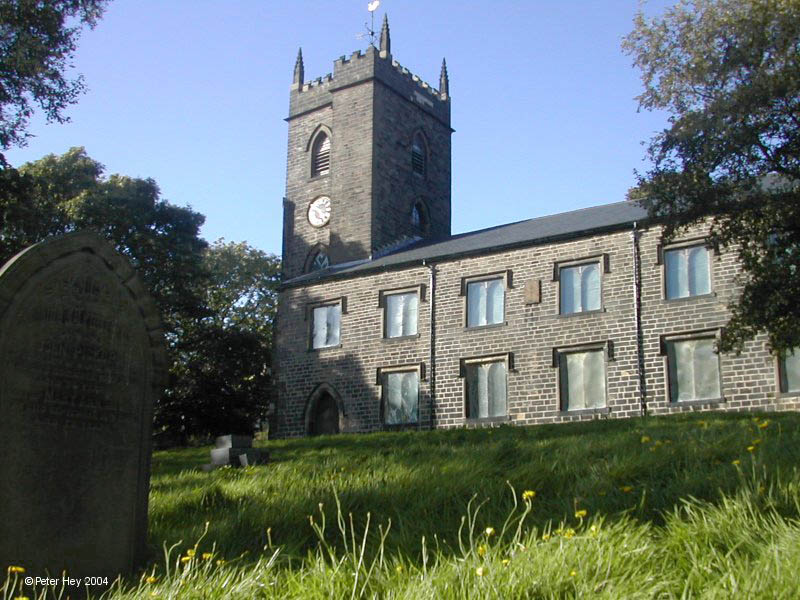
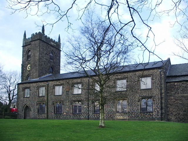
St Nicholas Church, Newchurch
St Nicholas Church in Newchurch, Lancashire, England, is an active Anglican parish church in the diocese of Manchester, founded in the early 16th century...
Newchurch, Lancashire
Newchurch is a village within the borough of Rossendale in Lancashire, England. It is around one mile east of Rawtenstall and half a mile north of Waterfoot...
Cowpe
Cowpe is a hamlet in Rossendale, Lancashire, England. It lies in the South Pennines, north of Scout Moor Wind Farm, by the Pennine Bridleway. Rawtenstall...
Nearby Amenities
Located within 500m of 53.694225,-2.2286434Have you been to Rossendale?
Leave your review of Rossendale below (or comments, questions and feedback).