Bacup

Settlement in Lancashire Rossendale

England

Bacup

OS Benchmark locator Newchurch Old Rd Benchmark locator on a stone now used as a step down onto Newchurch Old Road, Bacup.
I assume this would have been located in the wall of the old road originally.
OS Benchmark locator Newchurch Old Rd Credit: Phill

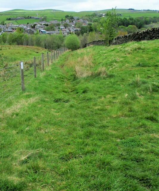
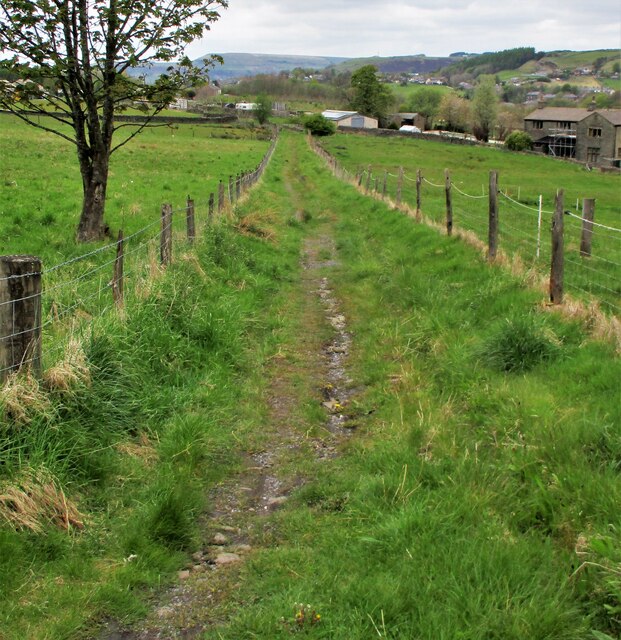
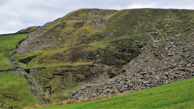
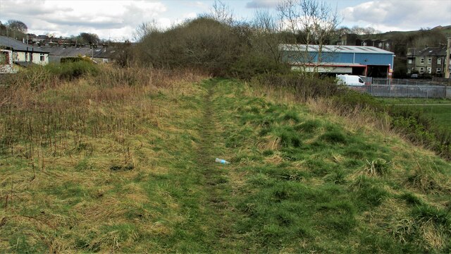
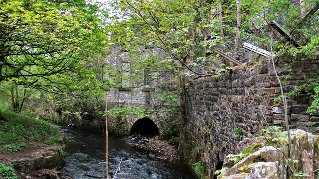
Bacup is a small town located in the Rossendale district of Lancashire, England. Situated in the South Pennines, it lies within the historic county boundaries of Lancashire. The town is surrounded by beautiful rolling hills and is known for its scenic landscape.

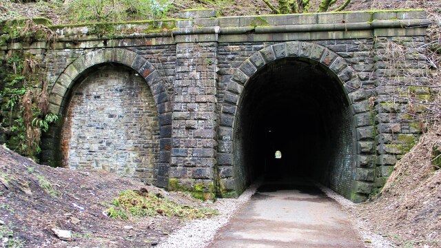
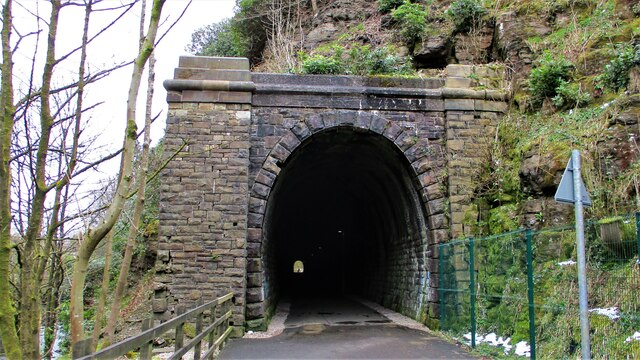
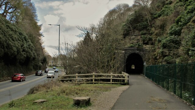
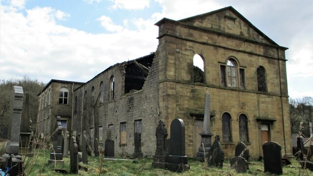
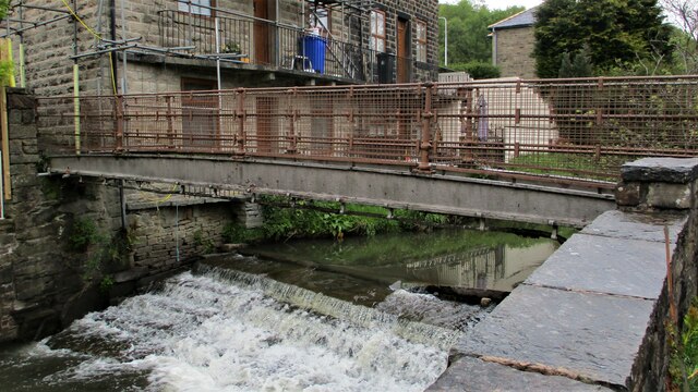
With a population of around 13,000, Bacup has a rich industrial heritage that dates back to the 16th century. It was once a thriving center for the textile industry, particularly cotton mills. The town played a significant role in the Industrial Revolution and was known for its production of cotton, wool, and shoes. The remnants of these industries can still be seen in the form of old mill buildings and chimneys scattered throughout the town.

Bacup is home to several notable landmarks, including St. John the Evangelist Church, which was built in the 19th century and is a Grade II listed building. The town also boasts the iconic Britannia Coconut Dancers, who perform their traditional dance every Easter Saturday. The dance is believed to have pagan roots and has been performed for over a century.

In recent years, Bacup has undergone regeneration efforts to preserve its historical charm and promote tourism. The town now offers a variety of independent shops, cafes, and restaurants, making it an attractive destination for visitors. Additionally, Bacup is surrounded by stunning countryside, providing ample opportunities for outdoor activities such as hiking and cycling.

Overall, Bacup is a charming town with a rich history and beautiful natural surroundings, making it an appealing place to visit for those seeking a glimpse into Lancashire's industrial past.

If you have any feedback on the listing, please let us know in the comments section below.
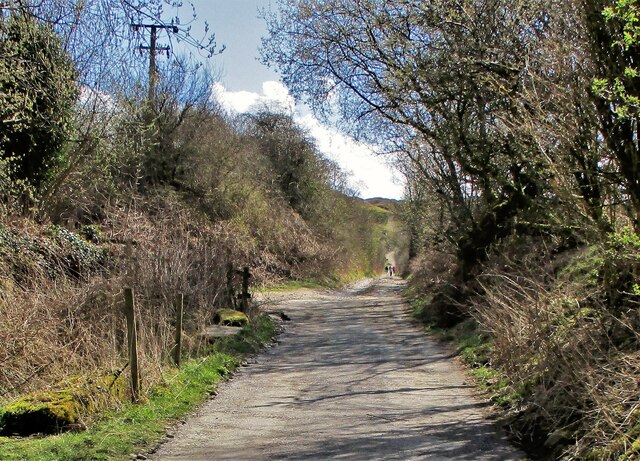
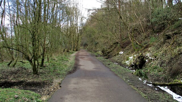
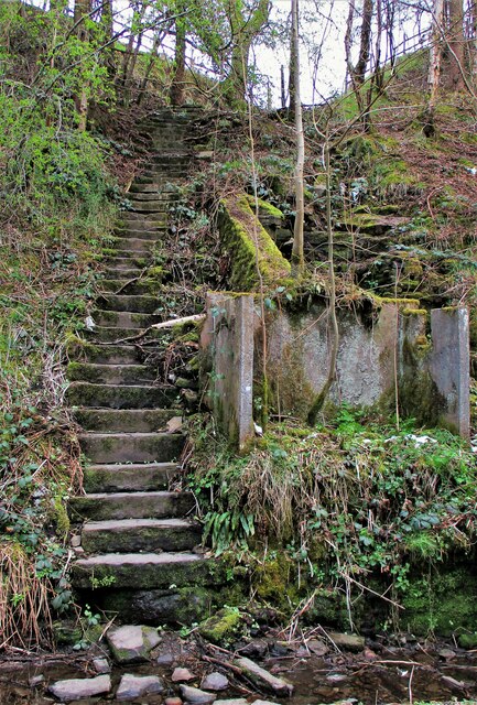
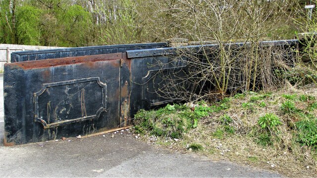
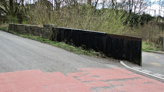
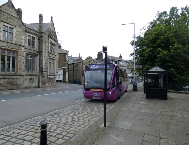
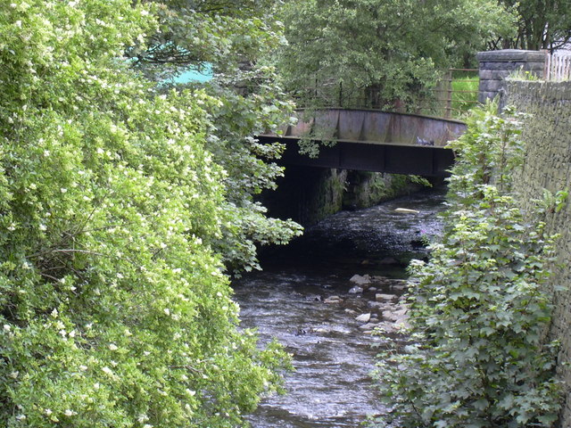
Bacup Images

Images are sourced within 2km of 53.702053/-2.222484 or Grid Reference SD8522. Thanks to Geograph Open Source API. All images are credited.

OS Benchmark locator Newchurch Old Rd Benchmark locator on a stone now used as a step down onto Newchurch Old Road, Bacup.
I assume this would have been located in the wall of the old road originally.
OS Benchmark locator Newchurch Old Rd
Benchmark locator on a stone now used as a step down onto Newchurch Old Road, Bacup. I assume this would have been located in the wall of the old road originally.
Former Trackbed of Lee Quarry Tramway Incline View up the incline of about half mile towards Lee Quarry
Former Trackbed of Lee Quarry Tramway Incline
View up the incline of about half mile towards Lee Quarry
Former Trackbed of Quarry Railway Incline Land reclamation has obscured the actual trackbed that went steeply down to Siddalls Sidings just East of Stacksteads Station.
Former Trackbed of Quarry Railway Incline
Land reclamation has obscured the actual trackbed that went steeply down to Siddalls Sidings just East of Stacksteads Station.
Former Trackbed of Quarry Railway This section of Siddalls quarry railways ran from Law Head to Greens. Law Head is in the distance in this view.
Former Trackbed of Quarry Railway
This section of Siddalls quarry railways ran from Law Head to Greens. Law Head is in the distance in this view.
Former Railway Routes serving Greens Moor Quarry View across Greens Clough which is filled with quarry spoil but two former trackbeds with stone embankments are apparent.
Former Railway Routes serving Greens Moor Quarry
View across Greens Clough which is filled with quarry spoil but two former trackbeds with stone embankments are apparent.
Cyclepath through Newchurch No.2 Tunnel View West on newly laid cyclepath with the blocked Thrutch Tunnel to the left
Cyclepath through Newchurch No.2 Tunnel
View West on newly laid cyclepath with the blocked Thrutch Tunnel to the left
Cyclepath through Newchurch No.2 Tunnel The West portal of the railway tunnel
Cyclepath through Newchurch No.2 Tunnel
The West portal of the railway tunnel
Road, River & Railway in The Glen The A681 Newchurch Road, the River Irwell in a culvert and the West portal of Newchurch No.2 tunnel all squeezed together
Road, River & Railway in The Glen
The A681 Newchurch Road, the River Irwell in a culvert and the West portal of Newchurch No.2 tunnel all squeezed together
Cyclepath East of Thrutch Tunnel Cyclepath view East along former railway towards Bacup. It is contoured in the hillside above the River Irwell at this point
Cyclepath East of Thrutch Tunnel
Cyclepath view East along former railway towards Bacup. It is contoured in the hillside above the River Irwell at this point
Steps in Railway Cutting near Waterbarn Mill The railway presumably had hillside water drainage problems and needed to climb out of the cutting. Old OS maps have a tank marked about here.
Steps in Railway Cutting near Waterbarn Mill
The railway presumably had hillside water drainage problems and needed to climb out of the cutting. Old OS maps have a tank marked about here.
Vertical Culvert in Railway Cutting This appears to be a drain from the hillside which has required substantial masonry. Near Waterbarn Mills
Vertical Culvert in Railway Cutting
This appears to be a drain from the hillside which has required substantial masonry. Near Waterbarn Mills
Metal Bridge Parapet on Rakehead Lane The railway bridge for Rakehead Lane has been infilled so the cyclepath has to cross the lane on the level
Metal Bridge Parapet on Rakehead Lane
The railway bridge for Rakehead Lane has been infilled so the cyclepath has to cross the lane on the level
Rakehead Lane Railway Bridge Parapets The former railway bridge which has been infilled has a metal and a masonry parapet
Rakehead Lane Railway Bridge Parapets
The former railway bridge which has been infilled has a metal and a masonry parapet
Waterbarn Baptist Chapel at risk The Grade II listed building appears at risk of collapse viewed from Brandwood Road
Waterbarn Baptist Chapel at risk
The Grade II listed building appears at risk of collapse viewed from Brandwood Road
End of the Railway Walk in Stacksteads The path on the former railway trackbed finishes on a low embankment above the recreation ground. This is the view East
End of the Railway Walk in Stacksteads
The path on the former railway trackbed finishes on a low embankment above the recreation ground. This is the view East
Culvert under Acre Mill and confluence with River Irwell One of least two culverts, this may drain Greens Clough
Culvert under Acre Mill and confluence with River Irwell
One of least two culverts, this may drain Greens Clough
Footbridge over the River Irwell, Waterbarn This metal bridge connects Waterbarn Lane with Newchurch Road
Footbridge over the River Irwell, Waterbarn
This metal bridge connects Waterbarn Lane with Newchurch Road
464 to Accrington 
Operated by Rossobus, the A464 is a service from Rochdale via Bacup, Rawtenstall and Haslingdon to Accrington. It runs at 15 minute intervals most of day, Monday to Saturdays and every half hour Sundays/Bank Holidays.
464 to Accrington
Operated by Rossobus, the A464 is a service from Rochdale via Bacup, Rawtenstall and Haslingdon to Accrington. It runs at 15 minute intervals most of day, Monday to Saturdays and every half hour Sundays/Bank Holidays.
Show me another place!

Bacup is located at Grid Ref: SD8522 (Lat: 53.702053, Lng: -2.222484)

Administrative County: Lancashire

District: Rossendale

Police Authority: Lancashire

What 3 Words

///spearing.tempting.shade. Near Bacup, Lancashire

Related Wikis

Stacksteads

Stacksteads is a village between the towns of Bacup and Waterfoot within the Rossendale borough of Lancashire, England. The population of this Rossendale...

Stacksteads railway station

Stacksteads railway station served Stacksteads near Bacup, Rossendale, Lancashire, England from 1852 until the line closed in 1966. The station was just...

Rossendale (UK Parliament constituency)

Rossendale was a parliamentary constituency in the Lancashire, England. Created in 1885, it elected one Member of Parliament (MP) to the House of Commons...

Rossendale and Darwen (UK Parliament constituency)

Rossendale and Darwen is a constituency in Lancashire represented in the House of Commons of the UK Parliament since 2010 by Jake Berry, the former Chairman...

Nearby Amenities

Located within 500m of 53.702053,-2.222484
Crossing
Lat/Long: 53.6992212/-2.2263097
The data included in this document is from www.openstreetmap.org. The data is made available under ODbL.

Have you been to Bacup?

Leave your review of Bacup below (or comments, questions and feedback).