Wicken Clough

Valley in Yorkshire Pendle

England

Wicken Clough

Moorcock Inn Located on a bend on the A682, this popular country pub dates from the 18th century. It is seen here in 1996 when it was a Thwaites house.
Moorcock Inn Credit: Stephen McKay

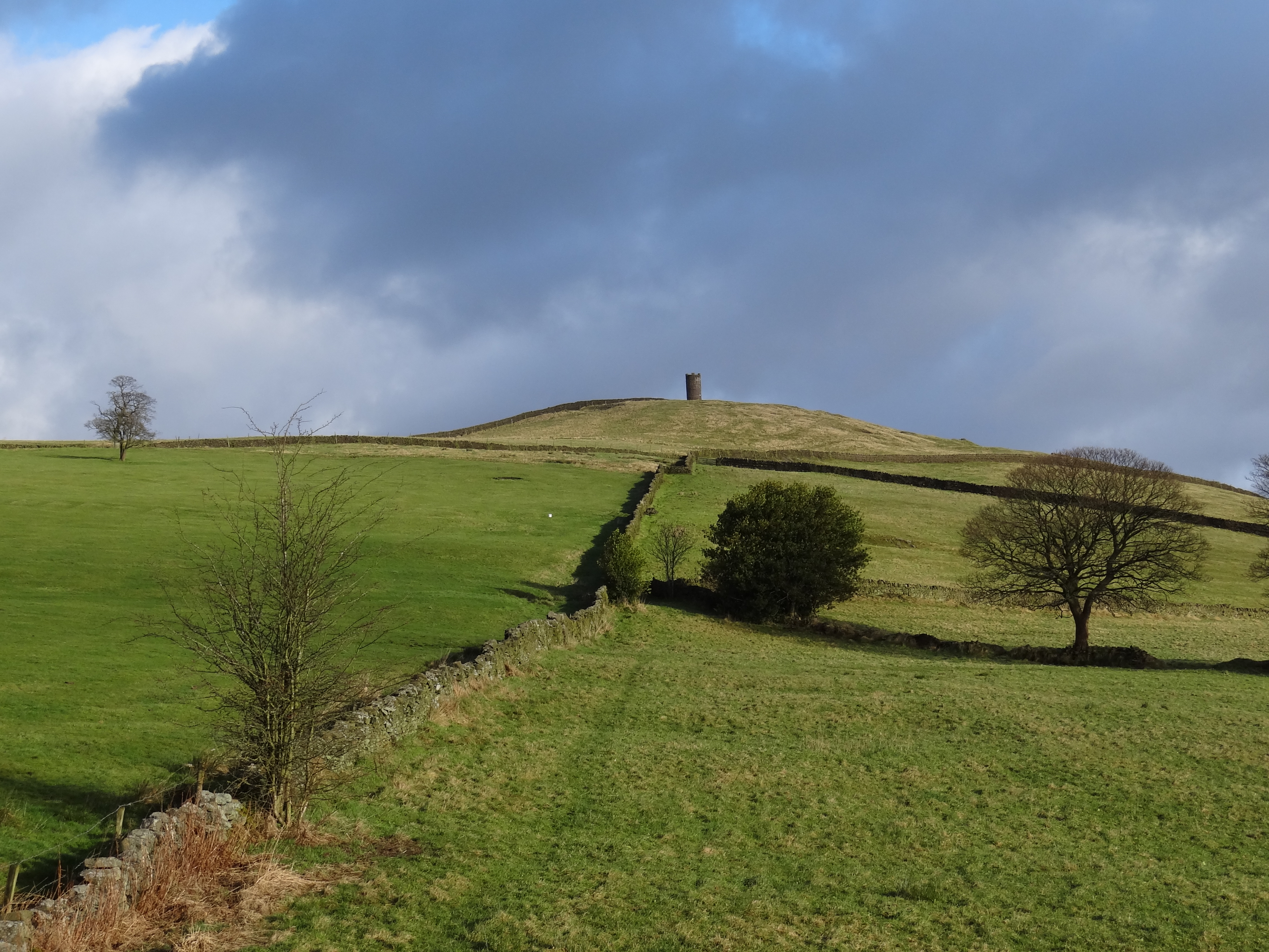
Wicken Clough is a picturesque valley located in Yorkshire, England. Situated in the heart of the countryside, it offers stunning views of rolling hills, lush green fields, and meandering streams. The valley stretches for approximately two miles, encompassing an area rich in natural beauty and diverse wildlife.

The landscape of Wicken Clough is characterized by its deep, narrow gorge, which has been carved over thousands of years by the flowing waters of the Wicken Beck. The beck cascades down a series of small waterfalls, creating a soothing soundtrack that further enhances the tranquility of the area. The valley is adorned with an array of native flora, including ancient woodlands, wildflowers, and ferns that add to its enchanting appeal.

Wicken Clough is a haven for nature enthusiasts and walkers alike, offering a network of well-maintained footpaths that wind their way through the valley. Visitors can explore the area's hidden gems, such as the ancient stone bridges that cross the beck, providing vantage points to admire the surrounding landscape.

The valley is also home to a variety of wildlife, including birds, mammals, and insects. Keen-eyed visitors may spot kingfishers, herons, and even otters in the beck, while rabbits, squirrels, and deer roam freely in the woodlands.

Overall, Wicken Clough in Yorkshire is a truly idyllic location that showcases the unspoiled beauty of the English countryside. It offers a peaceful retreat for those seeking solace in nature and an opportunity to immerse themselves in the breathtaking scenery that Yorkshire has to offer.

If you have any feedback on the listing, please let us know in the comments section below.

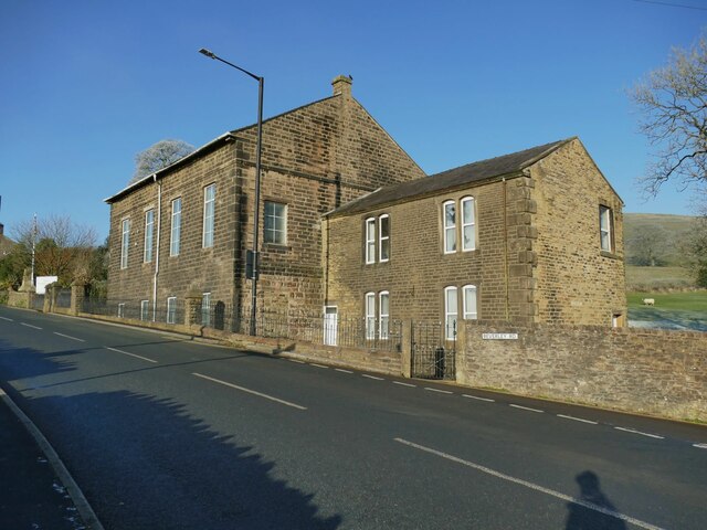
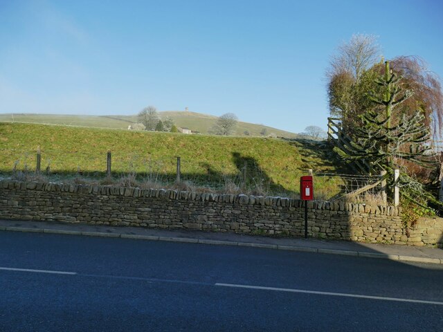
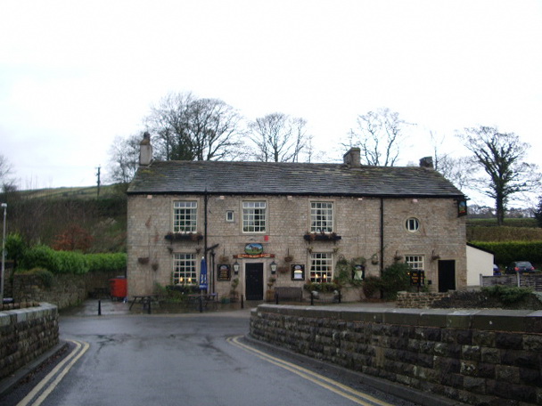
Wicken Clough Images

Images are sourced within 2km of 53.88182/-2.2249967 or Grid Reference SD8542. Thanks to Geograph Open Source API. All images are credited.

Moorcock Inn Located on a bend on the A682, this popular country pub dates from the 18th century. It is seen here in 1996 when it was a Thwaites house.
Moorcock Inn
Located on a bend on the A682, this popular country pub dates from the 18th century. It is seen here in 1996 when it was a Thwaites house.
Beverley Road on a frosty morning The hoar frost brings out the winter form of the trees.
Beverley Road on a frosty morning
The hoar frost brings out the winter form of the trees.
Entering Blacko from the east A welcome sign on Beverley Road.
Entering Blacko from the east
A welcome sign on Beverley Road.
Playground on Beverley Road, Blacko
Blacko and white The village hardly lives up to its name on a frosty day like this, with pampas grass in the recreation ground and trees in the allotments beyond covered in hoar frost.
Blacko and white
The village hardly lives up to its name on a frosty day like this, with pampas grass in the recreation ground and trees in the allotments beyond covered in hoar frost.
Rear of Blacko primary school See <a href="https://www.geograph.org.uk/photo/4125291">SD8541 : Blacko School</a> for the front of the school building. This rear view on Beverley Road is of interest mainly to show the community defibrillator.
Rear of Blacko primary school
See SD8541 : Blacko School for the front of the school building. This rear view on Beverley Road is of interest mainly to show the community defibrillator.
Roadsign in the centre of Blacko At the junction of Gisburn Road and Beverley Road. See <a href="https://www.geograph.org.uk/photo/6679534">SD8541 : Direction Sign – Signpost in Blacko</a> for a close look. Milestone Society National ID: LA_SD8541B.
Roadsign in the centre of Blacko
At the junction of Gisburn Road and Beverley Road. See SD8541 : Direction Sign – Signpost in Blacko for a close look. Milestone Society National ID: LA_SD8541B.
Blacko Evangelical Chapel Formerly Ebenezer Methodist Chapel <a href="https://www.geograph.org.uk/photo/4455395">SD8541 : Blacko: Ebenezer Chapel</a>.
Blacko Evangelical Chapel
Formerly Ebenezer Methodist Chapel SD8541 : Blacko: Ebenezer Chapel.
Blacko war memorial Close to the chapel, designed by Thomas Arthur Darcy Braddell and erected in 1921. The flagpole was added in 2014 to mark the centenary of the Great War. The memorial was listed grade II in 2018 (list entry 1452765) where a detailed description is given.
Blacko war memorial
Close to the chapel, designed by Thomas Arthur Darcy Braddell and erected in 1921. The flagpole was added in 2014 to mark the centenary of the Great War. The memorial was listed grade II in 2018 (list entry 1452765) where a detailed description is given.
Postbox, Gisburn road, Blacko This is a modern box on a metal pole, but its location, as so often, appears to be dictated by the fact that there used to be a post office just a few metres down the road (now a private house).
Postbox, Gisburn road, Blacko
This is a modern box on a metal pole, but its location, as so often, appears to be dictated by the fact that there used to be a post office just a few metres down the road (now a private house).
Footpath towards Blacko Hill The path appears to be heading to the tower, but actually only goes to the top of this field then joins another path running along the hillside. There is no public access to the tower itself.
Footpath towards Blacko Hill
The path appears to be heading to the tower, but actually only goes to the top of this field then joins another path running along the hillside. There is no public access to the tower itself.
Entering Blacko from the west A name sign on the A682, in a form common in this part of Lancashire. <a href="https://www.geograph.org.uk/photo/6038733">SD8541 : Old Village Signpost by the A6062, Blacko Parish</a> shows it in close-up.  Milestone Society National ID: LA_SD8541.
Entering Blacko from the west
A name sign on the A682, in a form common in this part of Lancashire. SD8541 : Old Village Signpost by the A6062, Blacko Parish shows it in close-up. Milestone Society National ID: LA_SD8541.
View from Blacko to Pendle The hill is 5km almost due west of this end of the village. Viewed here on a frosty December day.
View from Blacko to Pendle
The hill is 5km almost due west of this end of the village. Viewed here on a frosty December day.
Low-lying cloud in the valley of the Pendle Water Typical of a temperature inversion on a still, cold winter day.
Low-lying cloud in the valley of the Pendle Water
Typical of a temperature inversion on a still, cold winter day.
Footpath to Admergill The path follows the line of a fence towards the valley bottom.
Footpath to Admergill
The path follows the line of a fence towards the valley bottom.
Old county boundary sign (1) A short distance beyond this modern sign was the pre-1974 boundary between Lancashire and the West Riding of Yorkshire. The County Palatine gained from those boundary changes.
Old county boundary sign (1)
A short distance beyond this modern sign was the pre-1974 boundary between Lancashire and the West Riding of Yorkshire. The County Palatine gained from those boundary changes.
Old county boundary sign (2) This stone marks the pre-1974 boundary between Lancashire and the West Riding of Yorkshire. The County Palatine gained from those boundary changes. See also <a href="https://www.geograph.org.uk/photo/6072841">SD8541 : Old Boundary Marker by the A682, Gisburn Road, Blacko Laiths</a>. Milestone Society National ID: LA_GNBU05cb.
Old county boundary sign (2)
This stone marks the pre-1974 boundary between Lancashire and the West Riding of Yorkshire. The County Palatine gained from those boundary changes. See also SD8541 : Old Boundary Marker by the A682, Gisburn Road, Blacko Laiths. Milestone Society National ID: LA_GNBU05cb.
Icy track to Admergill It may look fairly clear, but when I started walking down it became obvious that the snow had just been compacted into ice by vehicles either side of a central strip.
Icy track to Admergill
It may look fairly clear, but when I started walking down it became obvious that the snow had just been compacted into ice by vehicles either side of a central strip.
Show me another place!

Wicken Clough is located at Grid Ref: SD8542 (Lat: 53.88182, Lng: -2.2249967)

Division: West Riding

Administrative County: Lancashire

District: Pendle

Police Authority: Lancashire

What 3 Words

///universe.wipes.pods. Near Foulridge, Lancashire

Related Wikis

Blacko

Blacko is a village and civil parish in the Pendle district of Lancashire, England. Before local government reorganisation in 1974 the village lay on...

Weets Hill

Weets Hill is a hill in the West Craven area of Pendle, Lancashire, England. It is 2+1⁄2 miles (4.0 km) south-west of the town of Barnoldswick and is 4...

Roughlee

Roughlee is a village in the civil parish of Roughlee Booth, in the Pendle district, in the county of Lancashire, England. It is close to Nelson, Barrowford...

Roughlee Booth

Roughlee Booth is a civil parish located in Pendle, Lancashire. It is approximately 449.43 hectares in size and situated in the Forest of Bowland AONB...

Related Videos

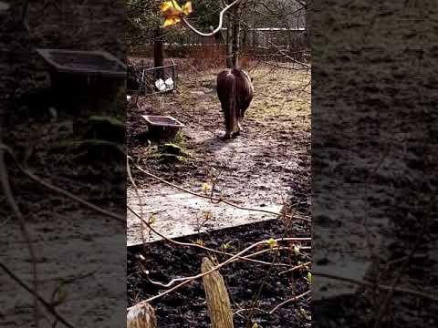
FRIENDLY HORSE WALKING

Horse walking after feeding in field near Victoria Park Nelson Lancashire England UK.

Have you been to Wicken Clough?

Leave your review of Wicken Clough below (or comments, questions and feedback).