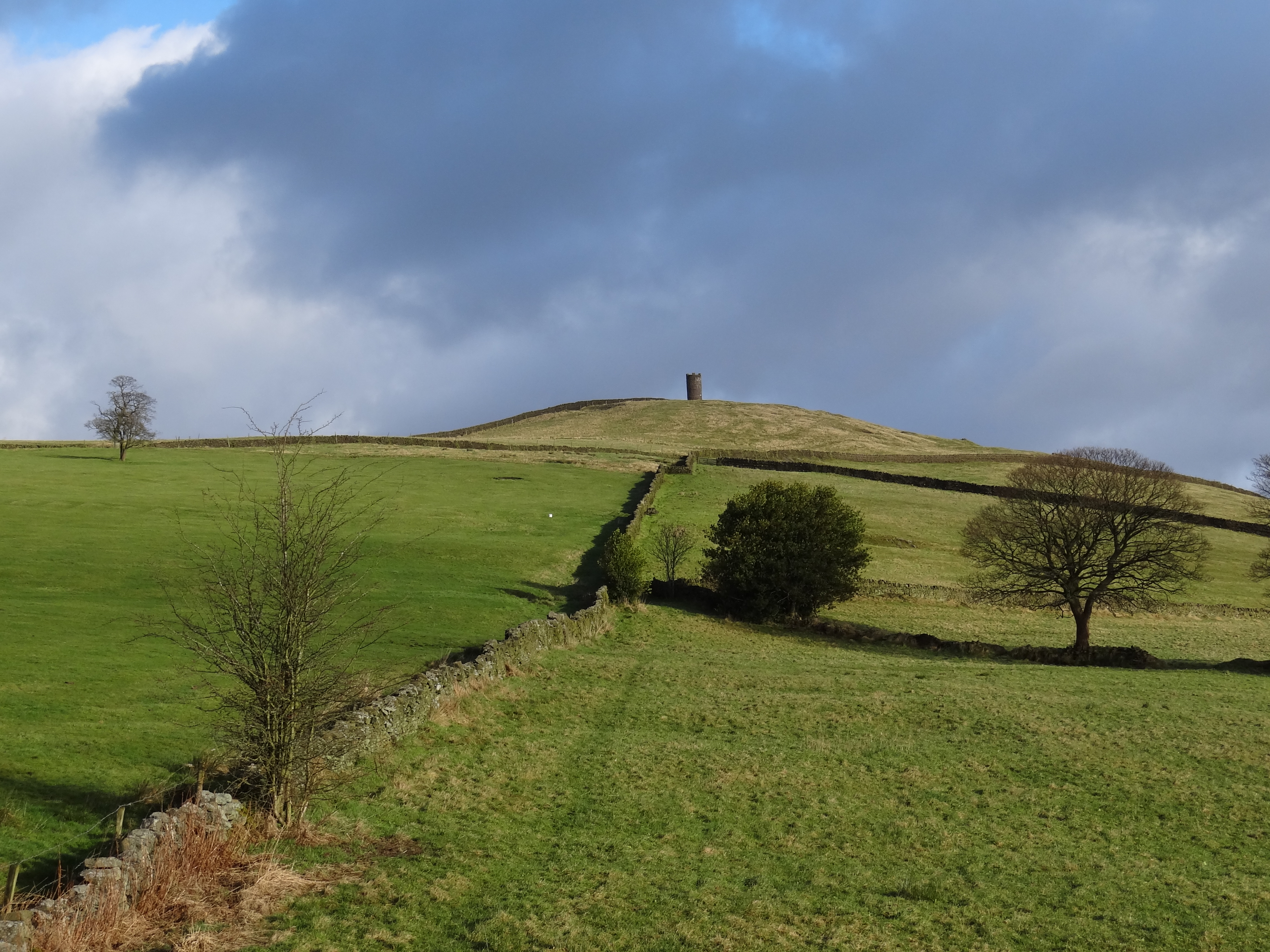
Blacko Hill
Hill, Mountain in Yorkshire Pendle
England
Blacko Hill

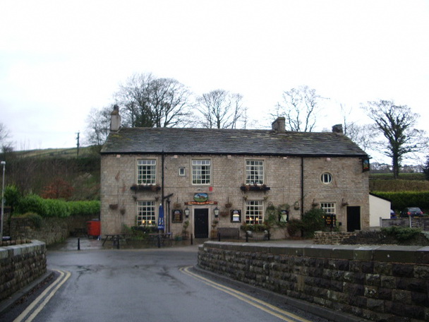
Blacko Hill is a prominent hill located in the Pendle district of Yorkshire, England. Standing at an elevation of 1,312 feet (400 meters), it is regarded as one of the highest points in the area, offering stunning panoramic views of the surrounding countryside.
Situated in the Pennine Hills, Blacko Hill is a popular destination for hikers, nature enthusiasts, and photographers. The hill is known for its distinctive conical shape, making it easily recognizable from afar. Its slopes are predominantly covered in heather and grass, creating a picturesque landscape that changes with the seasons.
At the summit of Blacko Hill, visitors are rewarded with breathtaking vistas that stretch across the Ribble Valley, Pendle Hill, and the Forest of Bowland. On a clear day, it is even possible to see as far as the Yorkshire Dales and the Lancashire coastline. Many visitors choose to bring a picnic and enjoy the uninterrupted views from the hilltop.
The area surrounding Blacko Hill is steeped in history, with evidence of human habitation dating back thousands of years. Ancient burial sites and stone circles can be found in the vicinity, adding an archaeological interest to the hill. Additionally, Blacko Tower, a prominent local landmark, sits at the foot of the hill and adds to its charm.
Overall, Blacko Hill is a captivating natural feature of Yorkshire, offering a tranquil escape for those seeking a connection with nature and a stunning vantage point to appreciate the beauty of the region.
If you have any feedback on the listing, please let us know in the comments section below.
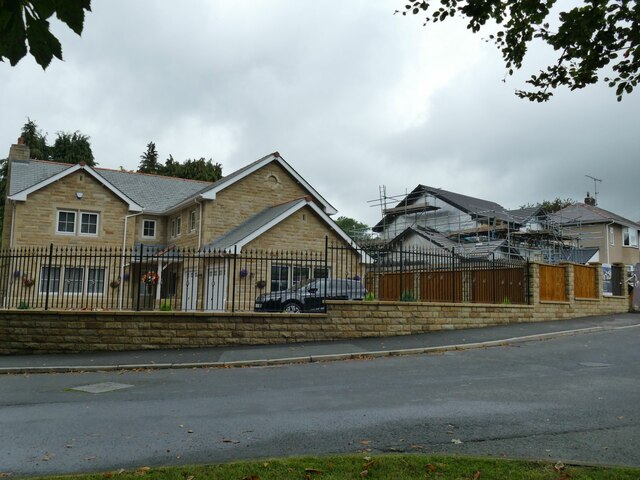
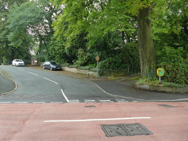
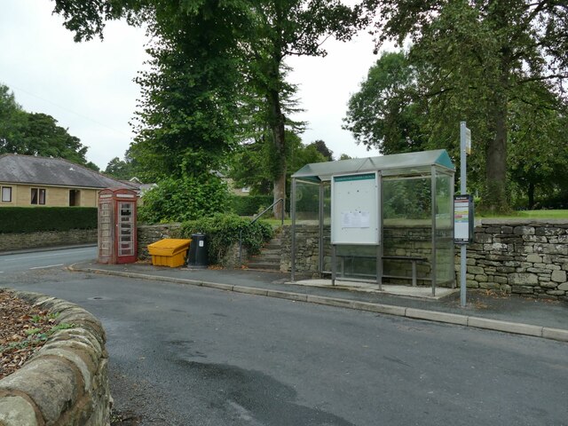
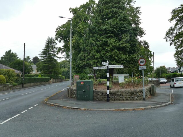
Blacko Hill Images
Images are sourced within 2km of 53.875781/-2.2148648 or Grid Reference SD8542. Thanks to Geograph Open Source API. All images are credited.


Blacko Hill is located at Grid Ref: SD8542 (Lat: 53.875781, Lng: -2.2148648)
Division: West Riding
Administrative County: Lancashire
District: Pendle
Police Authority: Lancashire
What 3 Words
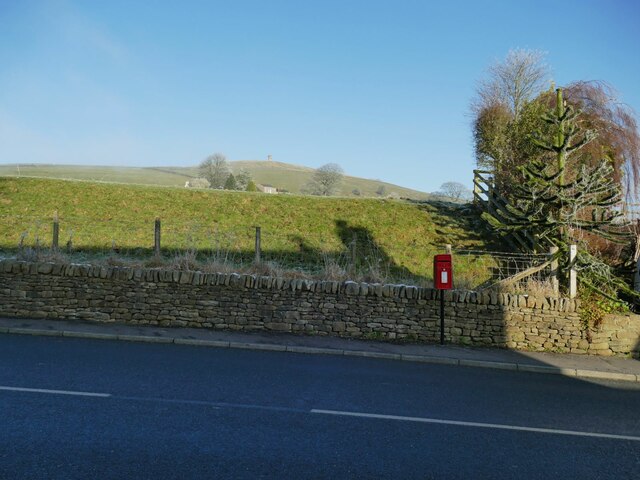
///plump.sleeping.motivates. Near Foulridge, Lancashire
Nearby Locations
Related Wikis
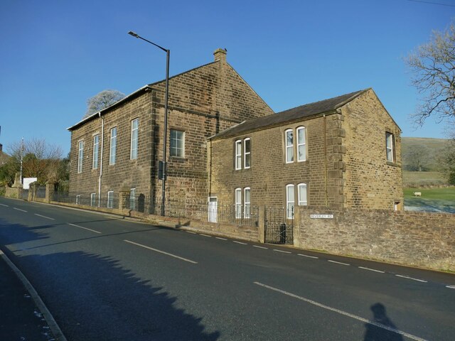
Blacko
Blacko is a village and civil parish in the Pendle district of Lancashire, England. Before local government reorganisation in 1974 the village lay on...

Higherford
Higherford is a village in the Pendle district of Lancashire, England. Although it is a village in its own right and shown on maps, it is sometimes confused...
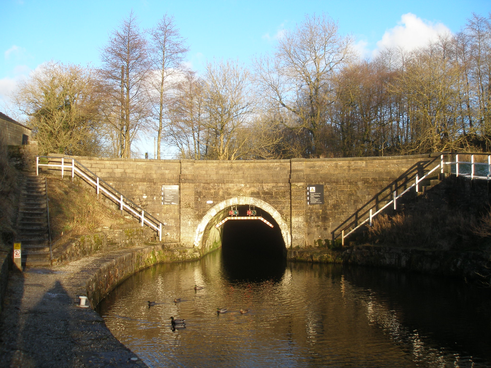
Foulridge Tunnel
The Foulridge Tunnel () is a canal tunnel on the Leeds and Liverpool Canal in Foulridge, Lancashire. Also known as the Mile Tunnel, Foulridge is 1,630...
Roughlee
Roughlee is a village in the civil parish of Roughlee Booth, in the Pendle district, in the county of Lancashire, England. It is close to Nelson, Barrowford...
Related Videos
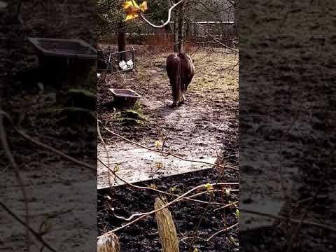
FRIENDLY HORSE WALKING
Horse walking after feeding in field near Victoria Park Nelson Lancashire England UK.

Pendle and Lancashire Witches | Motorhome Stopover
pendlewitches #driving #vanlife Join me this week as I follow in the footsteps of the Pendle Witches. I follow their journey to the ...


Nearby Amenities
Located within 500m of 53.875781,-2.2148648Have you been to Blacko Hill?
Leave your review of Blacko Hill below (or comments, questions and feedback).