Scraesburgh Hope

Valley in Roxburghshire

Scotland

Scraesburgh Hope

Alongside Dere Street A view across sheep pasture adjacent to the route of Dere Street.  Standard Knowe stands prominent in the background.
Alongside Dere Street Credit: James T M Towill

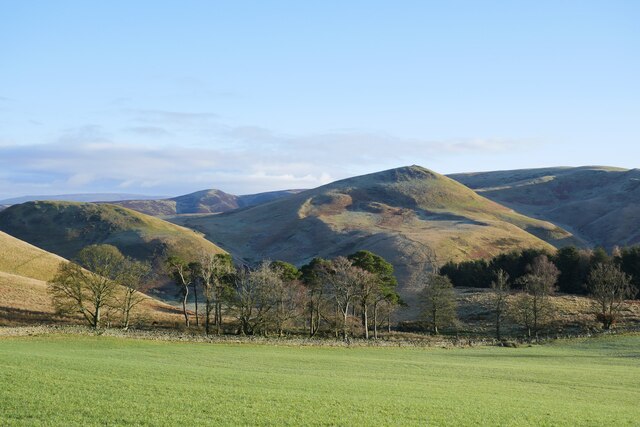
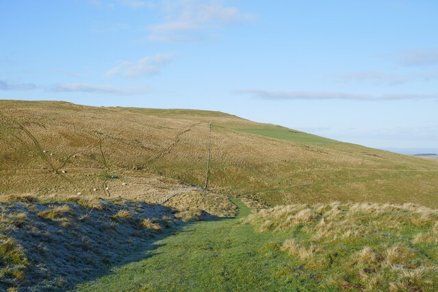
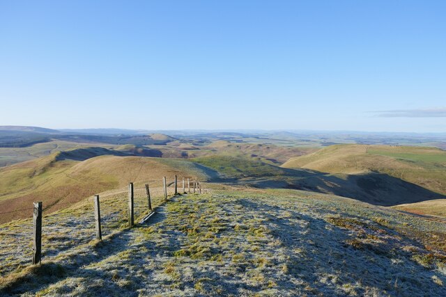
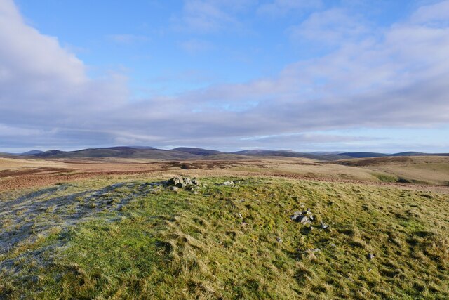
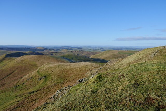
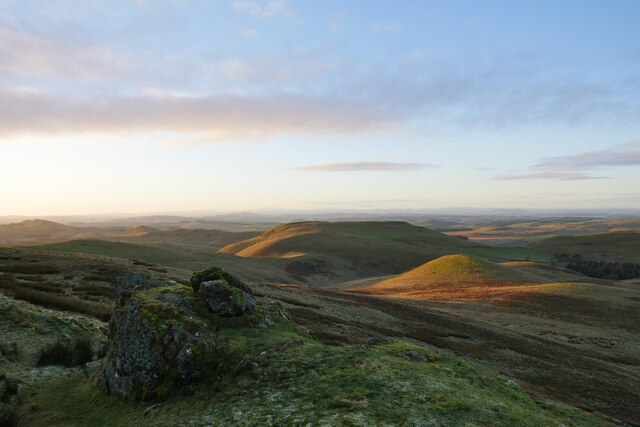
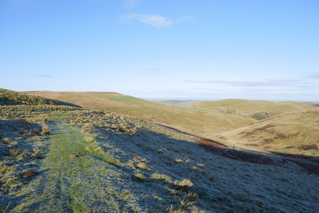
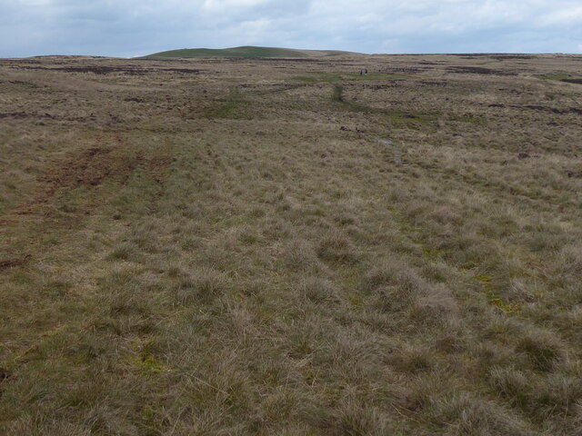
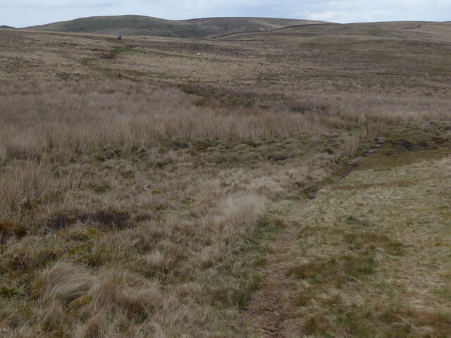
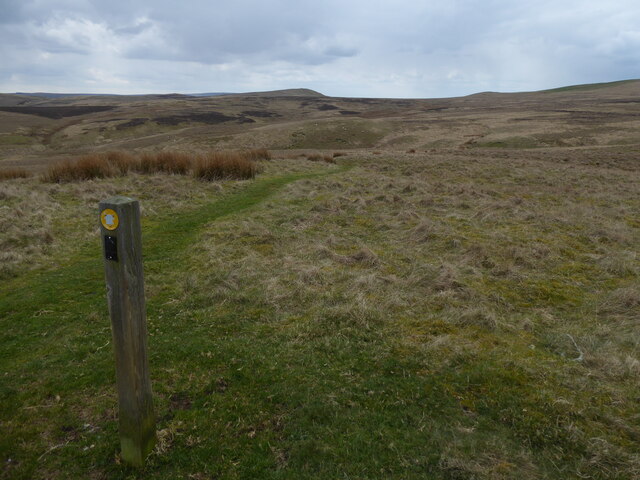
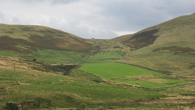
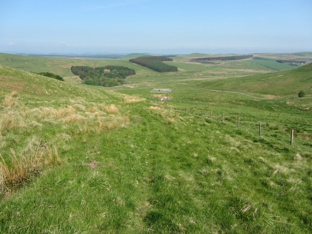
Scraesburgh Hope is a picturesque valley located in the region of Roxburghshire, Scotland. Nestled amidst the stunning Scottish Borders, this valley is known for its breathtaking natural beauty and tranquil surroundings. The valley is situated between rolling hills on either side, creating a scenic landscape that attracts visitors from near and far.

The main focal point of Scraesburgh Hope is the meandering river that flows through it, offering a serene and calming atmosphere. The river is flanked by lush greenery, including tall trees and wildflowers, enhancing the valley's charm. The valley is also home to a diverse range of wildlife, making it a haven for nature enthusiasts and birdwatchers.

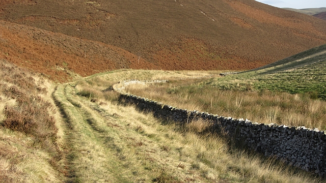
The area surrounding Scraesburgh Hope is rich in history and heritage, with several ancient ruins and monuments scattered throughout. Visitors can explore the remnants of old castles and forts, providing a glimpse into the region's past. Additionally, the valley is dotted with charming villages and hamlets, where visitors can experience traditional Scottish hospitality and immerse themselves in the local culture.

Outdoor activities are abundant in Scraesburgh Hope, with opportunities for hiking, cycling, and fishing. The valley's idyllic setting makes it a popular destination for those seeking peace and tranquility, away from the hustle and bustle of city life.

In summary, Scraesburgh Hope in Roxburghshire is a captivating valley that offers a perfect blend of natural beauty, historical significance, and outdoor recreation. Whether it's exploring ancient ruins, enjoying the scenic landscapes, or partaking in outdoor activities, visitors are sure to find something to suit their interests in this enchanting part of Scotland.

If you have any feedback on the listing, please let us know in the comments section below.

Scraesburgh Hope Images

Images are sourced within 2km of 55.406902/-2.3471065 or Grid Reference NT7812. Thanks to Geograph Open Source API. All images are credited.

Alongside Dere Street A view across sheep pasture adjacent to the route of Dere Street.  Standard Knowe stands prominent in the background.
Alongside Dere Street
A view across sheep pasture adjacent to the route of Dere Street. Standard Knowe stands prominent in the background.
On Dere Street looking back to Woden Law The route of Dere Street with a view back to Woden Law.  The remains of earthworks labelled on the 1:25k map are evident to the left of shot.
On Dere Street looking back to Woden Law
The route of Dere Street with a view back to Woden Law. The remains of earthworks labelled on the 1:25k map are evident to the left of shot.
On Blackhall Hill Upland pasture just off the route of Dere Street.
On Blackhall Hill
Upland pasture just off the route of Dere Street.
The summit of Blackhall Hill The rather unspectacular summit of Blackhall Hill - blink and you'll miss it.
The summit of Blackhall Hill
The rather unspectacular summit of Blackhall Hill - blink and you'll miss it.
A view to Hunthall Hill and Hindhope Hill A view from Blackhall Hill towards Hunthall Hill and Hindhope Hill on a crisp winter afternoon.
A view to Hunthall Hill and Hindhope Hill
A view from Blackhall Hill towards Hunthall Hill and Hindhope Hill on a crisp winter afternoon.
Greyhen Rock late on a winter afternoon The earthenware pots used to transport illicit whisky were called 'grey hens', hence the name of this feature just above the route of Dere Street.
Greyhen Rock late on a winter afternoon
The earthenware pots used to transport illicit whisky were called 'grey hens', hence the name of this feature just above the route of Dere Street.
On the route of Dere Street below Hunthall Hill Woden Law remains conspicuous in the background.
On the route of Dere Street below Hunthall Hill
Woden Law remains conspicuous in the background.
The Pennine Way near Blackhall Hill
The Pennine Way near Raeshaw Fell
The Pennine Way near Stell Rig
Enclosures, Buchtrig Two circular earthbanks, possibly ruined fanks.
Enclosures, Buchtrig
Two circular earthbanks, possibly ruined fanks.
Humblemoor Hill Humblemoor Hill seen from the path which runs beside the Capehope Burn. The path is mapped but stops around Felter Cleuch.
Humblemoor Hill
Humblemoor Hill seen from the path which runs beside the Capehope Burn. The path is mapped but stops around Felter Cleuch.
Head of the Capelaw Burn Path beneath Humblemoor Hill. The path is shown going to The Yett, but seems to pack in around Felter Cleuch.
Head of the Capelaw Burn
Path beneath Humblemoor Hill. The path is shown going to The Yett, but seems to pack in around Felter Cleuch.
Path beneath Humblemoor Hill The path runs towards Felter Cleuch. The long grass has been recently mown.
Path beneath Humblemoor Hill
The path runs towards Felter Cleuch. The long grass has been recently mown.
Woden Law Rough pasture in the Cheviot Hills.
Woden Law
Rough pasture in the Cheviot Hills.
Dere Street Dere Street uses a pass between Langside Law and Woden Law. Woden Law is heavily fortified, presumably by Romans.
Dere Street
Dere Street uses a pass between Langside Law and Woden Law. Woden Law is heavily fortified, presumably by Romans.
Sheep pens beside Dere Street Hangingshaw Hill is behind with the valley of Hangingshaw Sike to the right.
Sheep pens beside Dere Street
Hangingshaw Hill is behind with the valley of Hangingshaw Sike to the right.
Dere Street below Woden Law
Show me another place!

Scraesburgh Hope is located at Grid Ref: NT7812 (Lat: 55.406902, Lng: -2.3471065)

Unitary Authority: The Scottish Borders

Police Authority: The Lothians and Scottish Borders

What 3 Words

///headers.towns.spoon. Near Jedburgh, Scottish Borders

Related Wikis

Pennymuir Roman camps

The Pennymuir Roman camps are situated southeast of Jedburgh in the Scottish Borders area of Scotland, near the Anglo-Scottish border, in the former Roxburghshire...

Chew Green

Chew Green is the site of the ancient Roman encampment, commonly but erroneously called Ad Fines (Latin: The Limits) on the 1885-1900 edition of the Ordnance...

Hownam

Hownam or Hounam is a small village and parish situated 8 miles east of Jedburgh in the Scottish Borders area of Scotland, near the Anglo-Scottish border...

Featherwood Roman Camps

Featherwood Roman Camps are neighbouring archaeological sites in Northumberland, England, 1 mile (1.6 km) north of Featherwood and about 3 miles (5 km...

Nearby Amenities

Located within 500m of 55.406902,-2.3471065
Standard Knowe
Natural: peak
Lat/Long: 55.410417/-2.342522
White Knowe
Natural: peak
Lat/Long: 55.4047255/-2.353058
The data included in this document is from www.openstreetmap.org. The data is made available under ODbL.

Have you been to Scraesburgh Hope?

Leave your review of Scraesburgh Hope below (or comments, questions and feedback).