Watergate Bottom
Valley in Westmorland Eden
England
Watergate Bottom

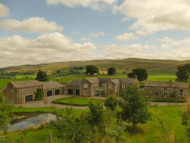
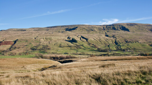
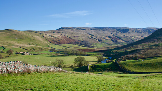
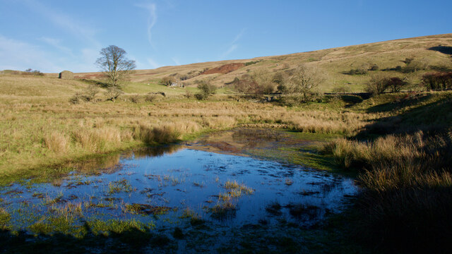
Watergate Bottom is a small village located in the Westmorland Valley in the county of Cumbria, England. Situated amidst picturesque countryside, this rural settlement offers a tranquil and idyllic setting for residents and visitors alike.
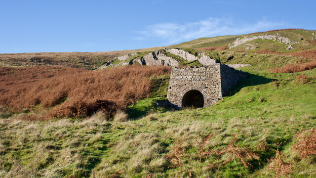
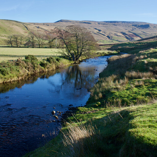
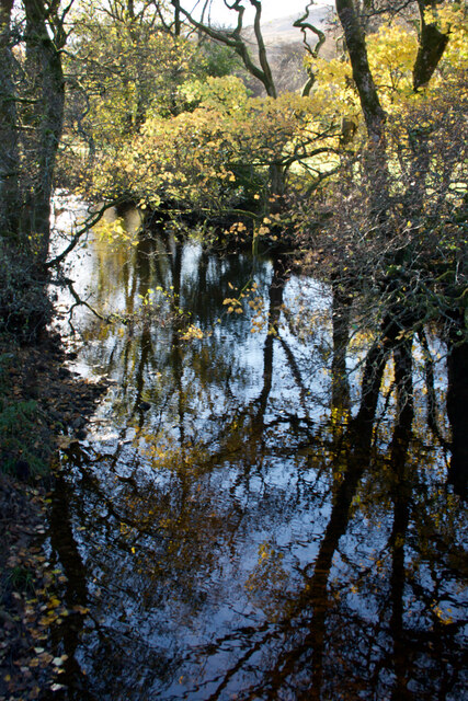
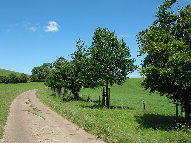
The village is known for its charming traditional stone cottages, which add to its quaint and timeless appeal. Nestled in the valley, Watergate Bottom is surrounded by rolling hills, lush green fields, and meandering streams, making it a haven for nature lovers and outdoor enthusiasts.
Despite its small size, the village boasts a close-knit community that takes pride in preserving its local heritage. The villagers often organize community events and festivals, showcasing the rich cultural traditions of the area. The local pub, The Valley Inn, serves as a popular meeting spot for residents and visitors, offering a warm and friendly atmosphere.
Watergate Bottom is also renowned for its proximity to several natural attractions. The nearby Westmorland Dales National Park provides ample opportunities for hiking, cycling, and exploring the stunning landscapes. Additionally, the village is conveniently located near the market town of Kendal, renowned for its historic buildings, charming shops, and vibrant arts scene.
In summary, Watergate Bottom is a charming village nestled in the Westmorland Valley, offering a peaceful retreat for those seeking a rural escape. With its picturesque surroundings, strong sense of community, and proximity to natural attractions, this village is a hidden gem in the heart of Cumbria.
If you have any feedback on the listing, please let us know in the comments section below.
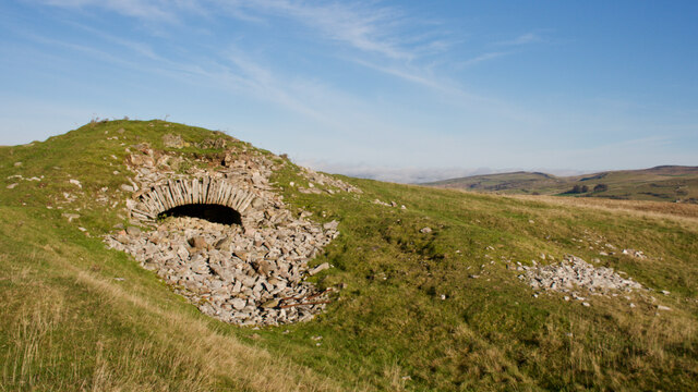
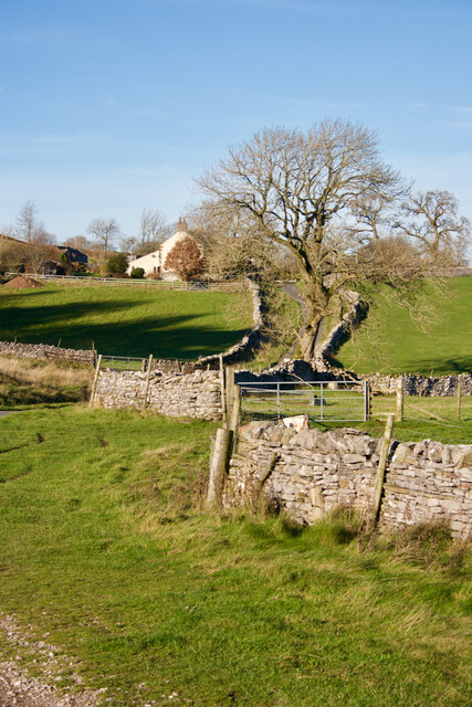
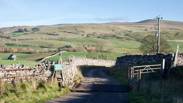
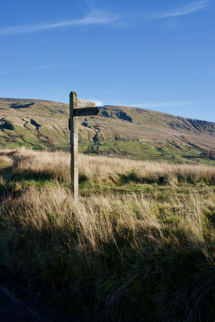
Watergate Bottom Images
Images are sourced within 2km of 54.436128/-2.3436226 or Grid Reference NY7704. Thanks to Geograph Open Source API. All images are credited.


Watergate Bottom is located at Grid Ref: NY7704 (Lat: 54.436128, Lng: -2.3436226)
Administrative County: Cumbria
District: Eden
Police Authority: Cumbria
What 3 Words
///trying.discussed.websites. Near Kirkby Stephen, Cumbria
Nearby Locations
Related Wikis
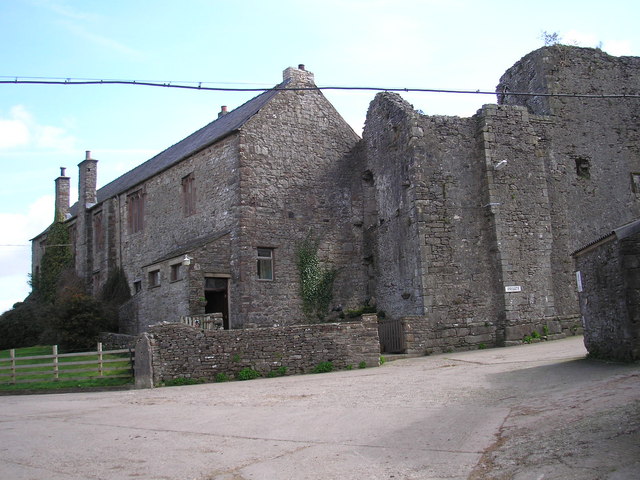
Wharton Hall
Wharton Hall in Wharton, Cumbria, England, is a medieval fortified manor house. == History == At the heart of Wharton Hall is a 15th-century hall, built...

Pendragon Castle
Pendragon Castle is a ruin located in Mallerstang Dale, Cumbria, south of Kirkby Stephen, and close to the hamlet of Outhgill (at grid reference NY781025...

Nateby, Cumbria
Nateby is a village and civil parish in the Eden district of Cumbria, England. The parish had a population of 110 in 2001, increasing to 120 at the 2011...
Wharton, Cumbria
Wharton is a civil parish near Kirkby Stephen in the Eden District of Cumbria, England, which, historically, was part of Westmorland. It has a population...
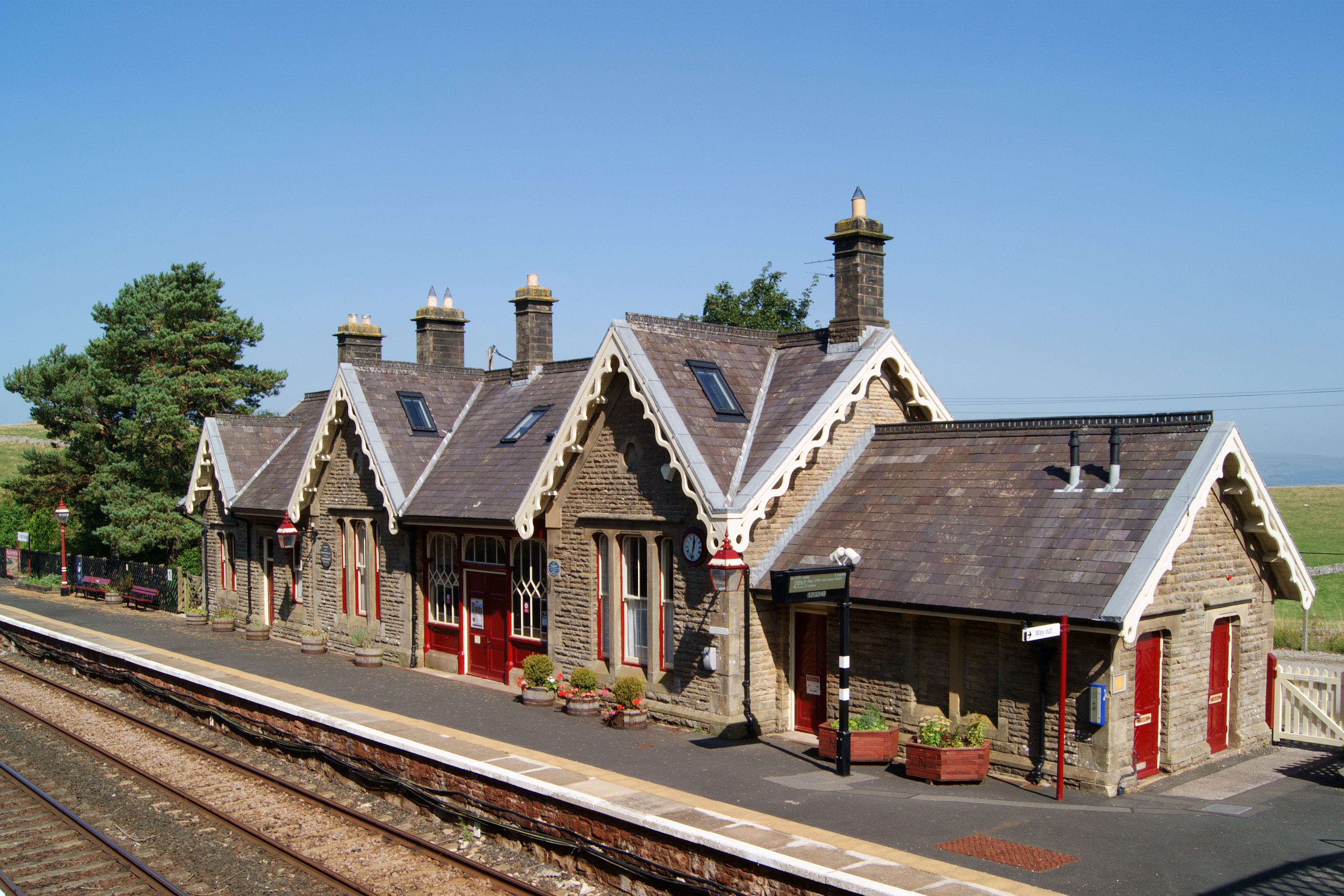
Kirkby Stephen railway station
Kirkby Stephen is a railway station in Eden in Cumbria, England, on the Settle and Carlisle Line, which runs between Carlisle and Leeds via Settle. The...

Outhgill
Outhgill is a hamlet in Mallerstang, Cumbria, England. It lies about 5 miles (8 km) south of Kirkby Stephen. It is the main hamlet in the dale of Mallerstang...

Devil's Grinding Mill
The Devil's Grinding Mill, sometimes known as the Devil's Hole, is part of The Angel's Drainpipe, a partially collapsed cave system on the River Eden in...

Kirkby Stephen East railway station
Kirkby Stephen East railway station was situated on the South Durham & Lancashire Union Railway (known as the Stainmore Line) between Barnard Castle and...
Nearby Amenities
Located within 500m of 54.436128,-2.3436226Have you been to Watergate Bottom?
Leave your review of Watergate Bottom below (or comments, questions and feedback).