Lammerside Castle
Heritage Site in Westmorland Eden
England
Lammerside Castle

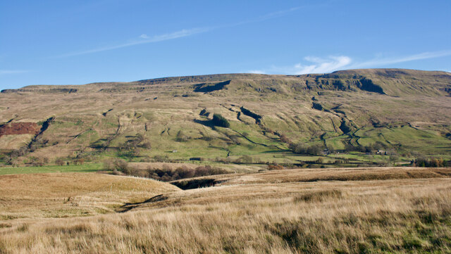
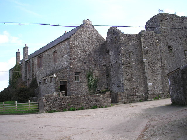
Lammerside Castle, located in Westmorland, England, is a historic heritage site that dates back to the 14th century. Situated on a hilltop near the village of Ravenstonedale, this medieval fortress offers breathtaking panoramic views of the surrounding countryside.
Built primarily as a defensive structure, Lammerside Castle was constructed using local grey limestone. The castle consists of a rectangular keep, known as a pele tower, and a fortified curtain wall. The pele tower is three stories high and features narrow windows and a solid stone roof. The curtain wall, which encloses an inner courtyard, is equipped with battlements and corner turrets.
Throughout its history, Lammerside Castle has witnessed several alterations and additions. In the 16th century, a residential wing was incorporated into the castle, providing more comfortable living quarters for its inhabitants. However, the castle fell into disrepair after the English Civil War and was eventually abandoned.
Today, Lammerside Castle stands as a striking ruin, attracting history enthusiasts and tourists alike. Visitors can explore the remains of the castle, wandering through the remnants of its walls and climbing the pele tower to admire the scenic vistas. The site also offers interpretive panels that provide insights into the castle's rich history and its significance as a defensive structure during turbulent times.
Lammerside Castle serves as a reminder of the region's medieval past, allowing visitors to step back in time and imagine the lives of the people who inhabited this formidable stronghold. Its picturesque location and architectural charm make it a popular destination for those seeking a glimpse into England's historical heritage.
If you have any feedback on the listing, please let us know in the comments section below.
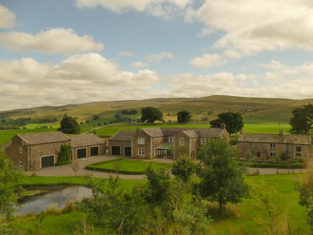
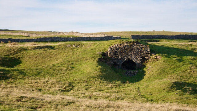
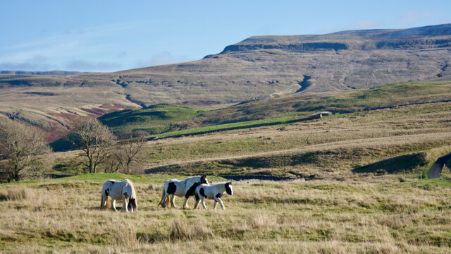
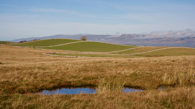
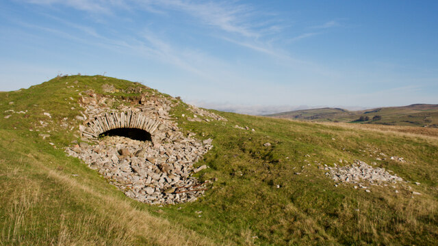
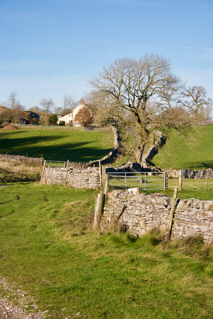
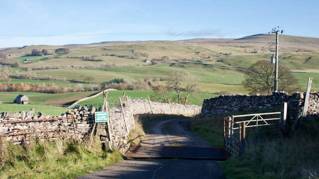
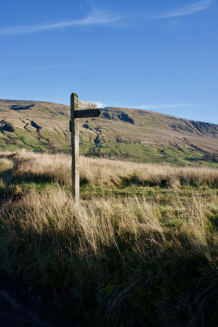
Lammerside Castle Images
Images are sourced within 2km of 54.435/-2.347 or Grid Reference NY7704. Thanks to Geograph Open Source API. All images are credited.


Lammerside Castle is located at Grid Ref: NY7704 (Lat: 54.435, Lng: -2.347)
Administrative County: Cumbria
District: Eden
Police Authority: Cumbria
What 3 Words
///hourglass.fussy.clock. Near Kirkby Stephen, Cumbria
Nearby Locations
Related Wikis
Wharton Hall
Wharton Hall in Wharton, Cumbria, England, is a medieval fortified manor house. == History == At the heart of Wharton Hall is a 15th-century hall, built...

Pendragon Castle
Pendragon Castle is a ruin located in Mallerstang Dale, Cumbria, south of Kirkby Stephen, and close to the hamlet of Outhgill (at grid reference NY781025...

Nateby, Cumbria
Nateby is a village and civil parish in the Eden district of Cumbria, England. The parish had a population of 110 in 2001, increasing to 120 at the 2011...
Wharton, Cumbria
Wharton is a civil parish near Kirkby Stephen in the Eden District of Cumbria, England, which, historically, was part of Westmorland. It has a population...
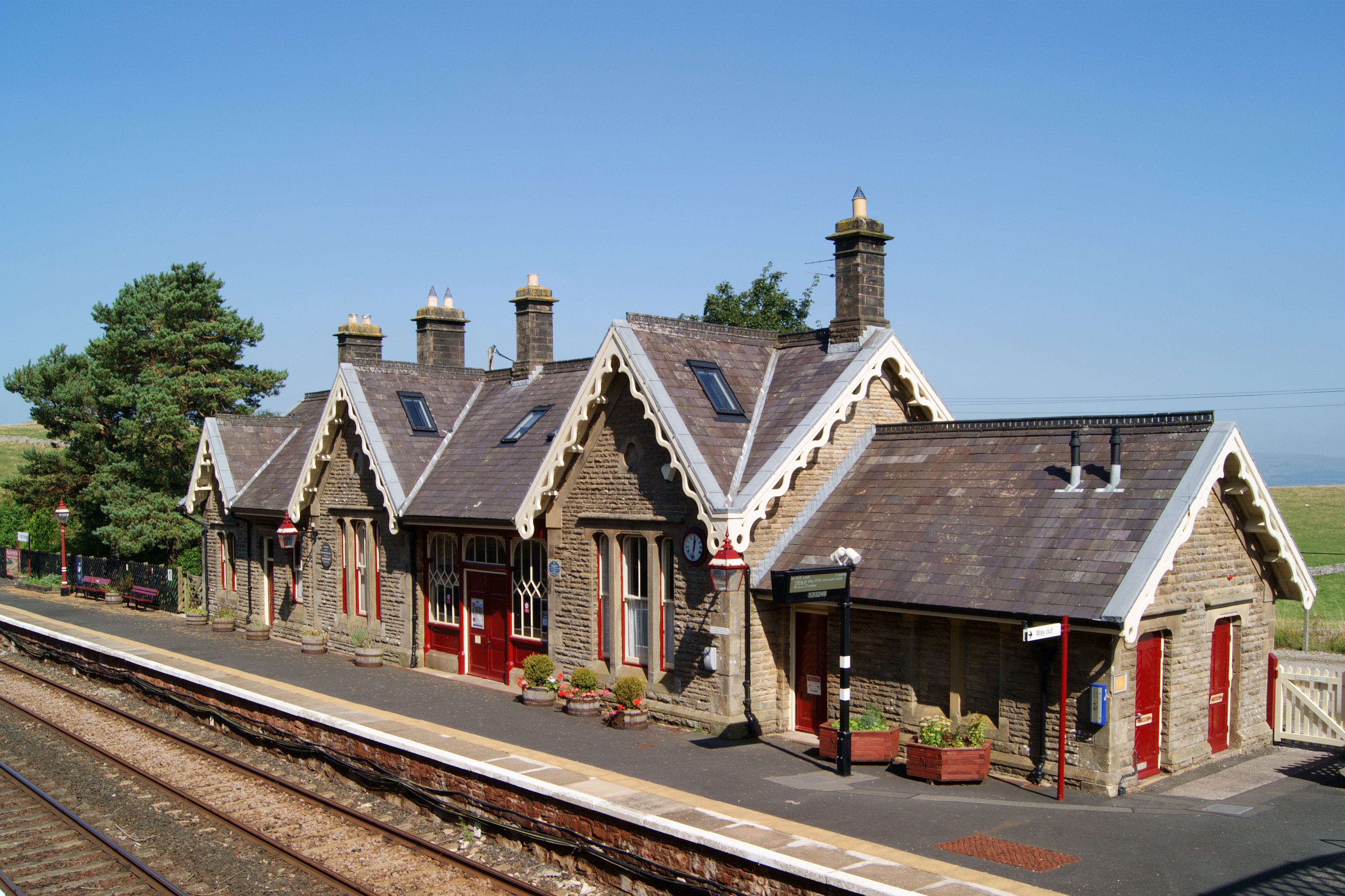
Kirkby Stephen railway station
Kirkby Stephen is a railway station in Eden in Cumbria, England, on the Settle and Carlisle Line, which runs between Carlisle and Leeds via Settle. The...

Outhgill
Outhgill is a hamlet in Mallerstang, Cumbria, England. It lies about 5 miles (8 km) south of Kirkby Stephen. It is the main hamlet in the dale of Mallerstang...
Mallerstang
Mallerstang is a civil parish in the extreme east of Cumbria, and, geographically, a dale at the head of the upper Eden Valley. Originally part of Westmorland...

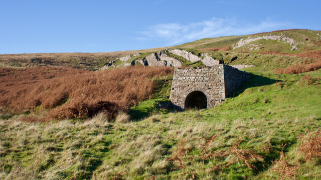
Devil's Grinding Mill
The Devil's Grinding Mill, sometimes known as the Devil's Hole, is part of The Angel's Drainpipe, a partially collapsed cave system on the River Eden in...
Nearby Amenities
Located within 500m of 54.435,-2.347Have you been to Lammerside Castle?
Leave your review of Lammerside Castle below (or comments, questions and feedback).